

“If they don’t have to send out search and rescue, you weren’t lost.” -my husband
Mmm-hmm.
After our latest hike in the Manzanita Mountains just south of Tijeras, I took score.
Of the six hikes we’ve taken in the area, two were completed without any wrong turns. One required retracing our steps back to the car when we couldn’t find the trail that was supposed to lead us out. And one took us on an unintended three-and-a-half-mile detour.
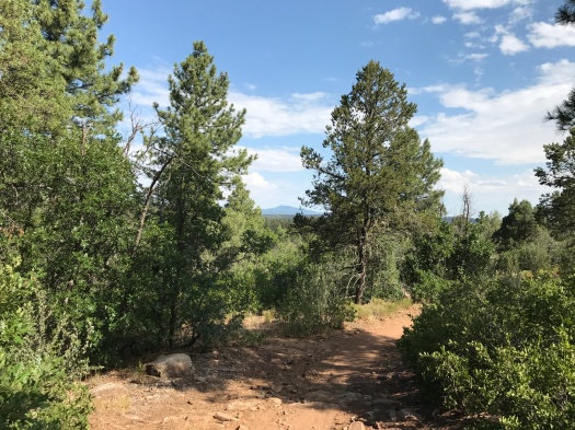
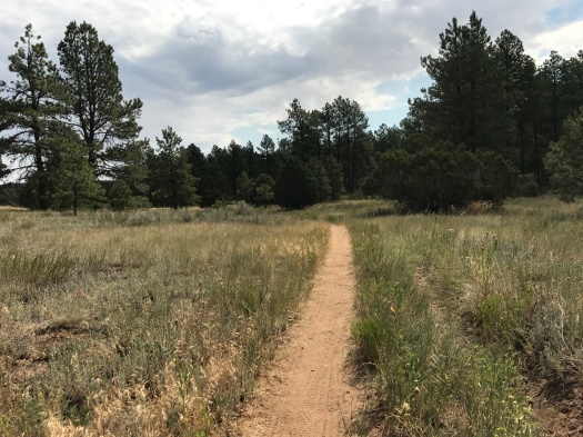
It’s a lovely landscape to hike in – deeply forested, a couple thousand feet above Albuquerque, with winding rock-lined canyons. But the trail system is primarily used by mountain bikers, and it’s a tangle, with informal trails cut between the official paths. It’s also a foothills area, with fewer distinctive landmarks visible from a distance than higher in the mountains.
Hence, directional challenges.
We were there for a short loop hike at Juan Tomas Open Space, which is City of Albuquerque property. We were the only hikers on Juan Tomas this morning, with plenty of mountain bikers, some of whom we saw multiple times as they made a circuit.
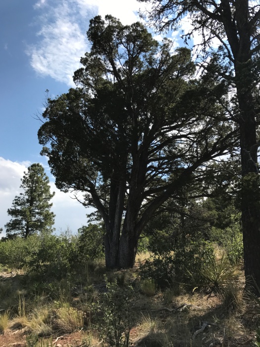
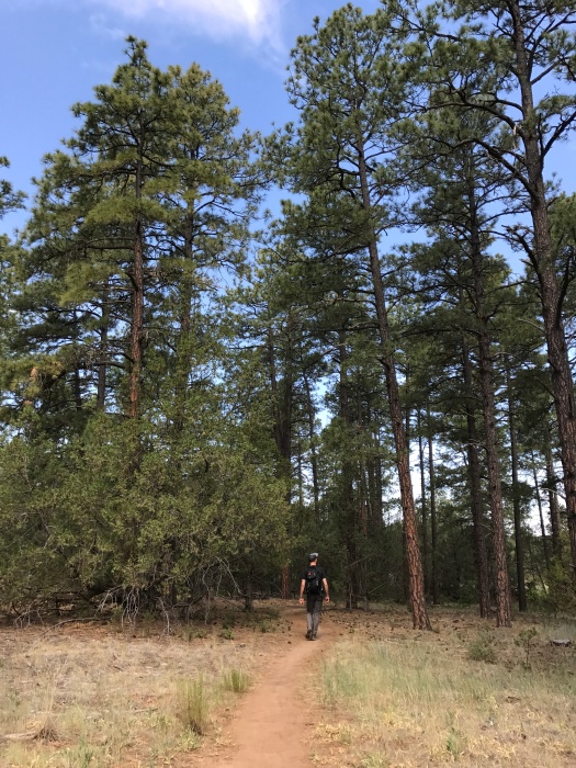
The area’s gently rolling terrain allows you a better grasp of just how towering ponderosa pines are than you get high in the mountains. This spot has some sweet alligator junipers, too.
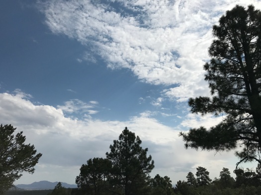
Most of this hike is trees and meadows, but there’s a vista of Sandia Peak near the beginning of this loop. We could see the smoke from a small fire burning on the Sandia crest.
This is a beautiful hike during the period when the monsoon season is flirting but not committing. Clouds frequently slid by above, and when they did, a breeze rose that was just humid enough, without making you sweat buckets. The downside of summer hiking here: in some spots, there are lots of flies.
A black-and-white Abert’s squirrel darted across the path, then scampered up a massive ponderosa and looked down at us from high above. Birds chirped and called all around us.
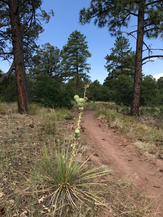
Our guidebook refers to a spot toward the end of the loop where the trail splits four ways. We found two places where the trail split three ways, but never found the four-way split (something similar happened on our first hike here, a year and a half ago.) We took our best guess, but it quickly became clear it wasn’t leading us back to where we started.
We could see the road we drove in on through the trees, so we headed toward that and, about a third of a mile up the road, we found our car. (Oddly, the part of this hike that had the most flies was the part we hiked on the road.)
Our first hike here was in winter, with snow on the ground. Our second was in sweltering pre-monsoon summer. Both were worth taking.
But I’m beginning to think no matter how many times we hike this loop, we’ll never find the end.
Hike length: 3.2 miles
Difficulty: On the easy side of moderate
Trail traffic: A healthy dose o’mountain bikes
Wildlife spotted: coyote (on the drive in), crow, vulture, nuthatches (heard but not seen), Abert’s squirrel, lizard, juniper titmouse (I think) and many flies

4 Replies to “Some who wander in the Manzanitas are lost”