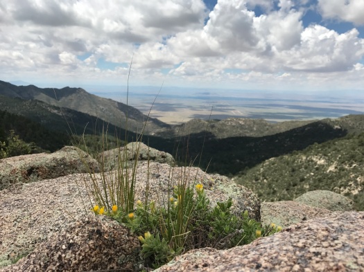
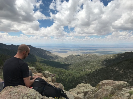
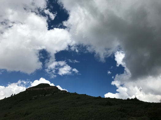
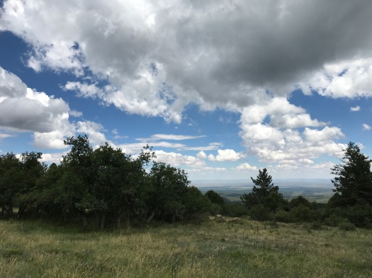
I didn’t plan to get Gnasty on this hike, but I don’t regret it

On some maps of the Manzanita Mountain trails, it just appears as “Gnasty.” Which is eye-catching enough.

On others, its moniker is even more in-your-face: “Gnasty with a G.”

I hadn’t thought I would ever end up there. It’s a mountain bike path, and part of the warren of Manzanita trails where we tend to get lost.

But I was destined for Gnasty today, though I didn’t know it.

Our hike began at Otero Canyon, the second pulloff where you can hike on Highway 337 south of Tijeras. I’d seen a friend post a beautiful picture of it and was intrigued.

I’d slept late, and by the time we dawdled to the trail, it was nearly 11 a.m. We had three cool, cloudy days in Albuquerque this week, and the sky was that punch-me-in-the-face blue you get in fall.

But within our first steps onto the trail, it was obvious that it was still summer. There are many unshaded sections of this hike and the sun was absolutely blazing.

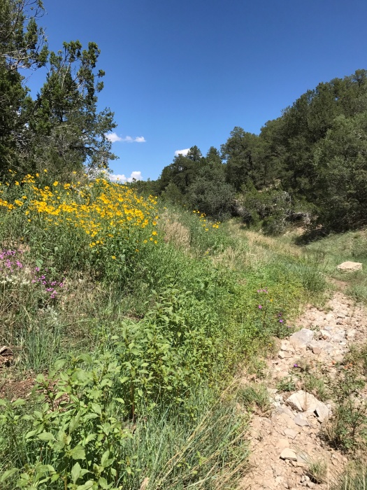
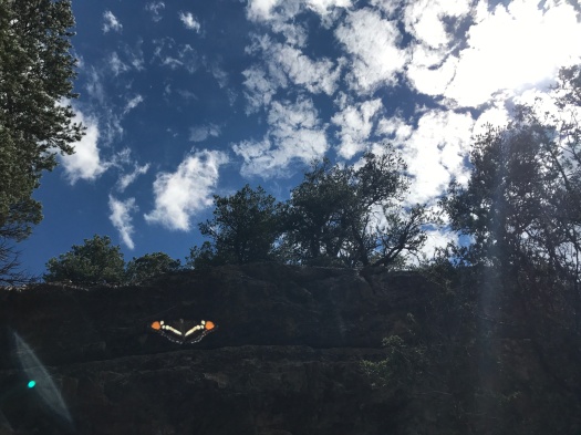
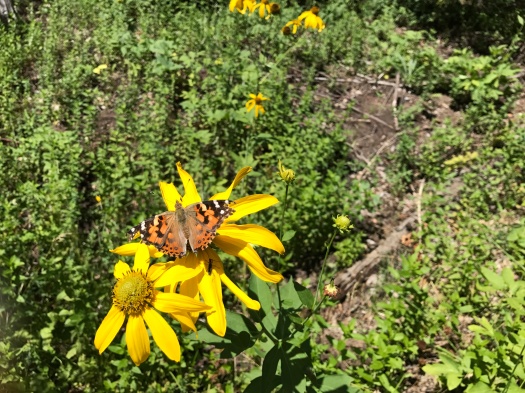
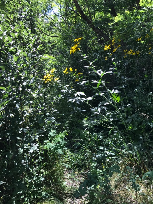
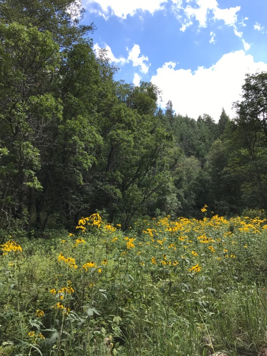
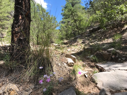
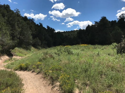
So were the wildflowers. If there is a better place within 20 miles of Albuquerque to see wildflowers right now, I don’t know of it. Sunflowers and yellow daisies danced in the wind, while red Indian paintbrush, lavender asters and tiny white flowers we couldn’t identify carpeted the ground. We saw every color of the rainbow and then some in wildflowers along the trail. All sizes and colors of butterflies danced around the canyon. The most plentiful were black, orange and white.
IMG_8469IMG_8511IMG_8518

IMG_8478
One of the canyon’s abundant butterflies photobombed me.

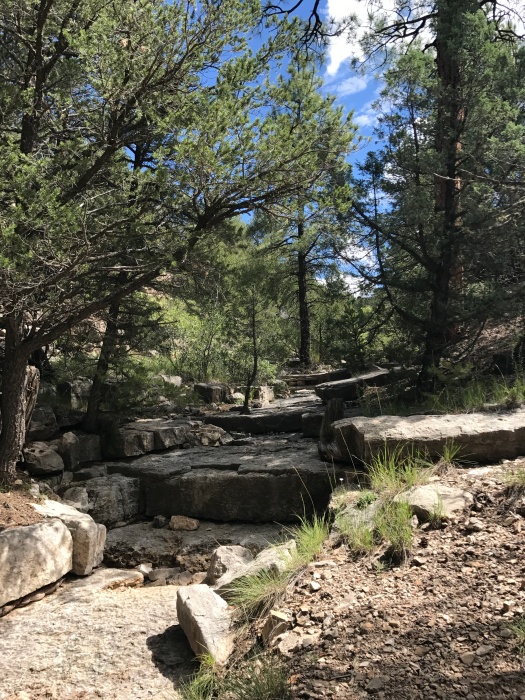
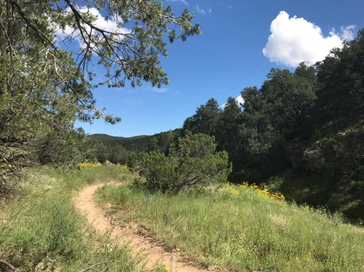
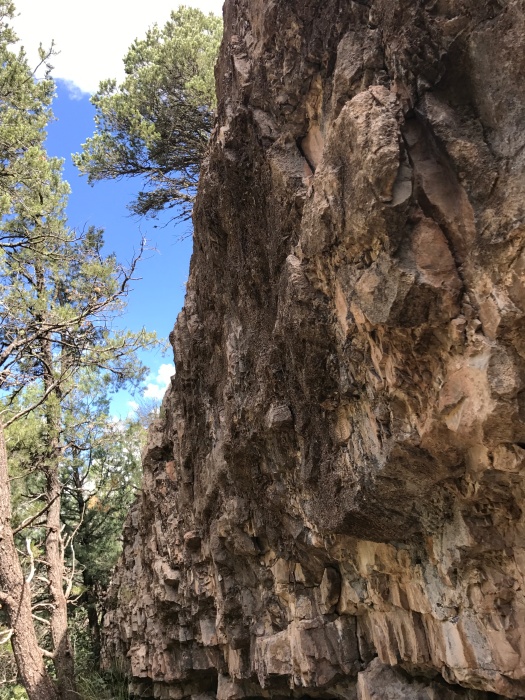
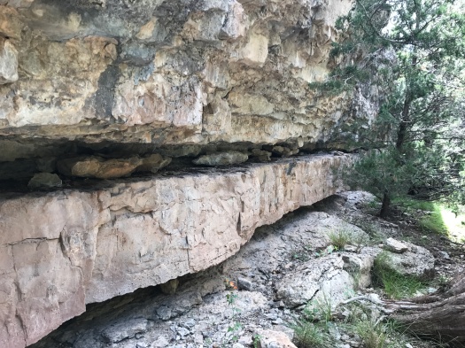
The Otero Canyon trail winds through stacked limestone formations. We saw no other hikers, but tons of mountain bikes and a few motorbikes. Luckily, there was pretty much always an arroyo when we needed to scoot off the trail.
IMG_8480IMG_8482

IMG_8485
How could you not climb on this, then sit and eat a snack?

We watched two Abert’s squirrels chase each other up and down a tree, and later, we saw a Cooper’s or sharp-shinned hawk chase another along a ridge. I knew I was anthropomorphizing them, but it was hard not to. There was no obvious evolutionary benefit to what they were doing; it seemed it had to be play.

The maps showed the Otero Canyon trail extending nearly four miles. But two miles in, we came to a blatant Department of Defense stay-away-from-our-unexploded-bombs sign.IMG_8493
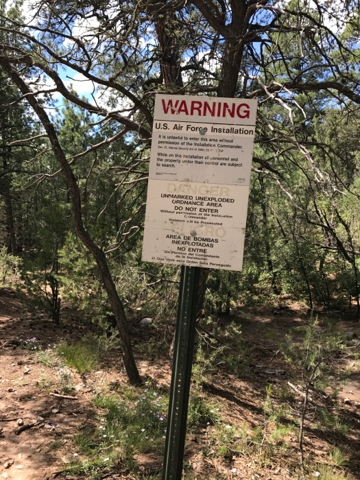
Plenty of bikes were whizzing in and out of that area, but I didn’t want to get arrested or exploded today.

However, the trail climbing up a ridge just north of the unexploded-ordnance area was – you guessed it – Gnasty. Trail signage confirmed it, and there was even a hand-carved wooden sign, the kind you’d see on someone’s front porch, hanging from a tree: Gnasty with a G.
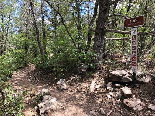
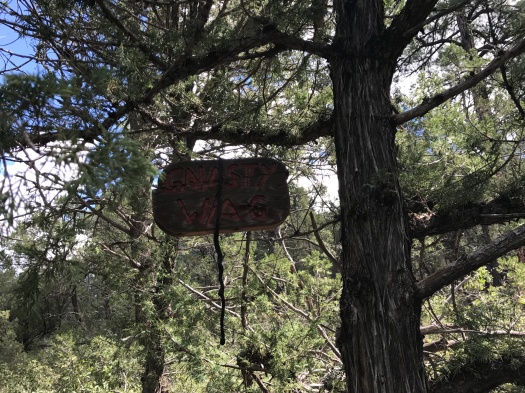
IMG_8492IMG_8494

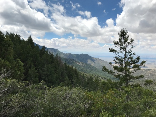
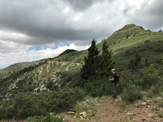
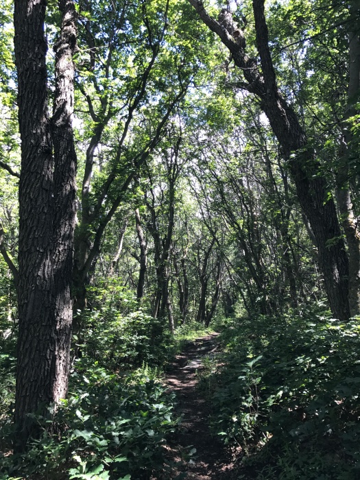
Gnasty is lovely, though challenging. It’s steep, rocky and narrow, with Gambel oak squeezing in on both sides. Ridgeline vistas quickly come into view through the trees.
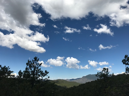
IMG_8498

As we ascended, a couple of folks on mountain bikes were descending. We watched a ripped 70-year-old man steer his bike rapidly and with complete control down a stepped hairpin turn.

We went about a half-mile up Gnasty, then reversed course. When we got back to Otero Canyon, we stopped at the first limestone arroyo for a snack.
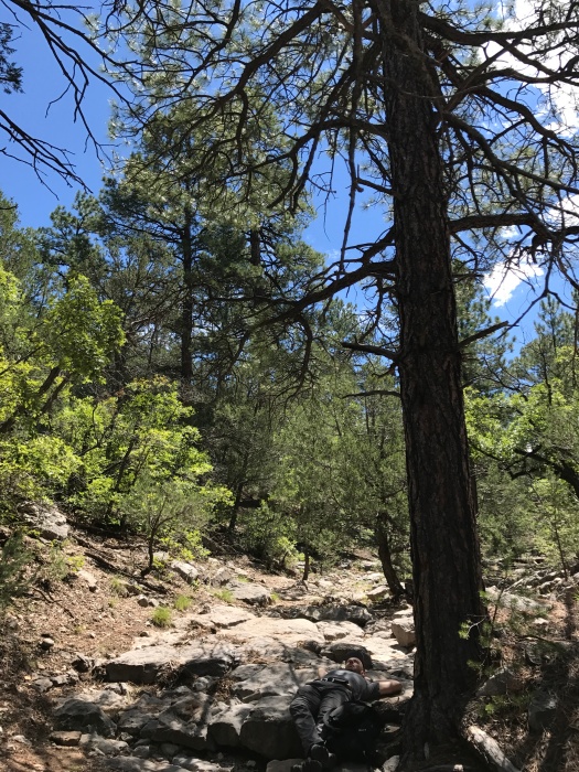
IMG_8505IMG_8509

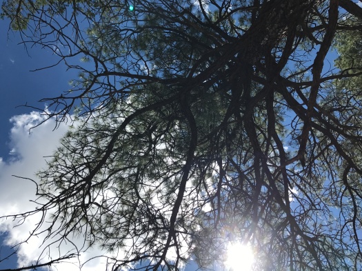
We lay on the cool rock beneath a giant ponderosa, watching clouds scuttle across the sky, listening to silence until the buzzing of flies overtook it.

That’s when it hit me: I could get used to Gnasty living.

Hike length: 5 miles

Difficulty: moderate

Trail traffic: moderate

Wildlife spotted: jays, crows, hawks (Cooper’s or sharp-shinned), butterflies, canyon towhees (we think), Abert’s squirrels
IMG_8526

There are 10,000 reasons to hike this trail, but I only needed one

The 10K trail got its name because it follows a ridge along the 10,000 foot elevation line in the Sandia Mountains.

I was here because I’d put the word out on social media for a hike I’d never done before. I’ve spent the past two summers chasing shade, and there are fewer and fewer cool, shady hikes close to Albuquerque that I haven’t done.

When a friend suggested the 10K trail, I knew we had a contender.

The trail gains a total of just 600 feet in elevation over its five-mile one-way length. Piece of cake, right?

Heh.

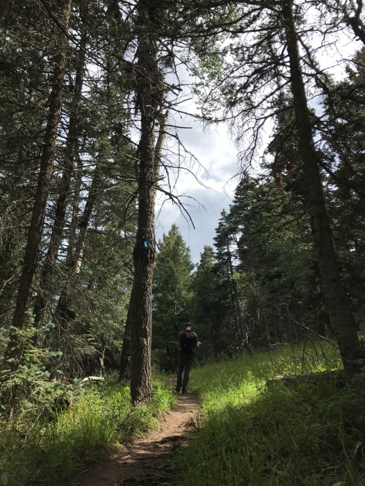
There’s plenty of up-and-down within that 600-foot range, but what really makes this trail challenging is 1) the high elevation (huff, puff) and 2) the ankle workout from the tree root networks poking out of the path.

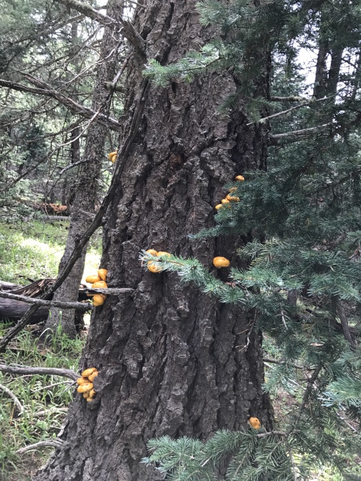
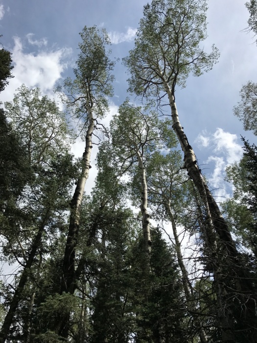
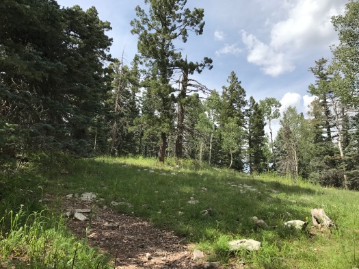
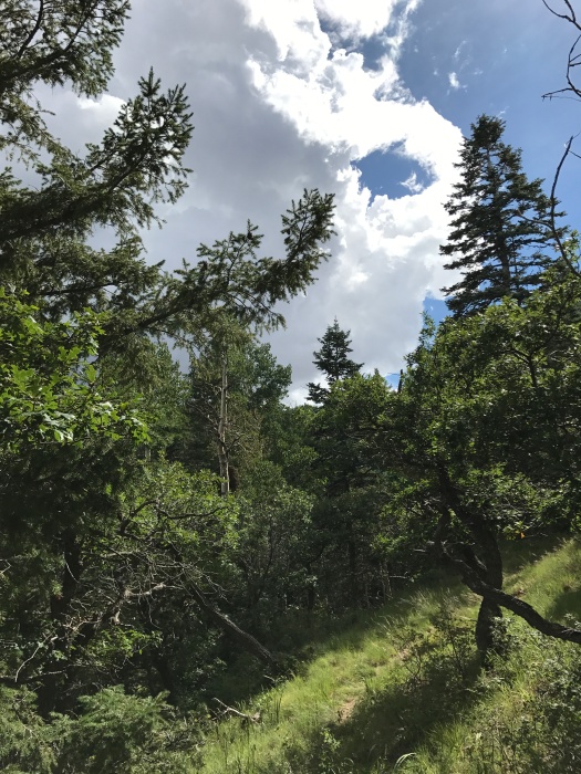
This is spruce-fir-aspen wonderland, complete with carpets of wildflowers and many kinds of mushrooms. The sweet-sharp smell of fir was our constant companion. Neither my husband nor I could resist poking a finger in a drip of fir sap. At some points the trail was mostly deadfall, mushrooms growing out of giant dead spruce trunks.

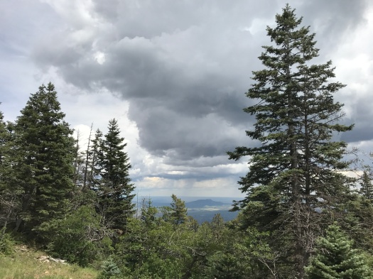
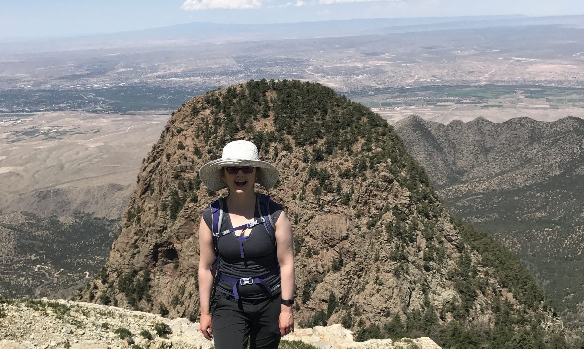
As we reached a beautiful overlook just a quarter-mile in, thunder rumbled. We debated turning back, but neither of us wanted to and both our instincts told us no storm was close enough to present danger, so we kept going.

There was plenty of traffic on this hike, but the folks who were just out there to gossip turned around after about a mile. The silence was even more welcome because we’d craved it.

I got into the rhythm of the hike, the trail leveled out more, and breathing became easier. We turned around after two and a half miles, and I realized why that last part of the trip out had felt so easy – it was all downhill. I huffed and puffed again.

Once we were close enough to the trailhead that I knew I’d get back under my own power, I had another problem; I did not want to leave.

Chickadees and nuthatches twittered above, squirrels and chipmunks darted along fallen logs, and sunlight filtered in through the trees. It was a cool 75 degrees with a refreshing breeze – even with rain nearby, the elevation kept it from being humid.
We heard thunder rumbling again on the last mile of the hike. But I couldn’t say no to stopping for a snack at the overlook, or walking down into a meadow to get a better view of the San Pedro Mountains.

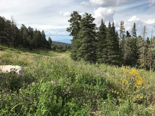
The fields of wildflowers that had begun our hike greeted us again at the trailhead. Another side trail called to me, but the thunder grew more persistent and the dark clouds were rolling our way.

We climbed in the truck and drove the 11 miles back down the mountain. We caught the flint-smell of rain about halfway down. We drove through puddles. Mist rolled off the road’s surface. The temperature dropped another 10 degrees. Then, real rain, a steady beat against our windows that kept up all the way through Tijeras Canyon.

We passed the lovely trail that’s closed for three months due to heavy bear activity.

We passed the sign telling us we were leaving the Cibola National Forest, “Land of Many Uses.”

Hiker and motorcyclist and bear and caterpillar and chipmunk, all using the mountain in different ways.

I gave thanks for it and took my leave until I am lucky enough to be at 10,000 feet again.

Hike length: 5 miles

Difficulty: Moderate

Trail traffic: Moderate

Wildlife spotted: chickadees, nuthatches, caterpillar, butterflies, chipmunk, squirrel

IMG_8425
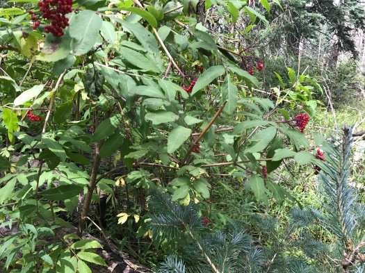
Chokecherries (right?) and fir
IMG_8428
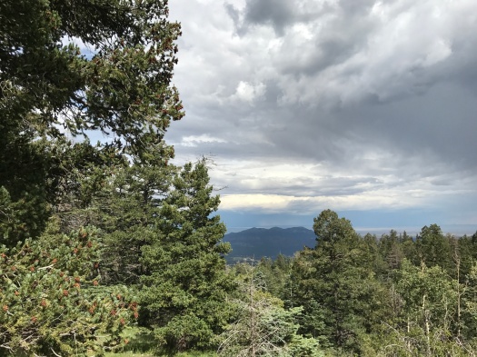
San Pedro Mountains getting rained on
IMG_8433
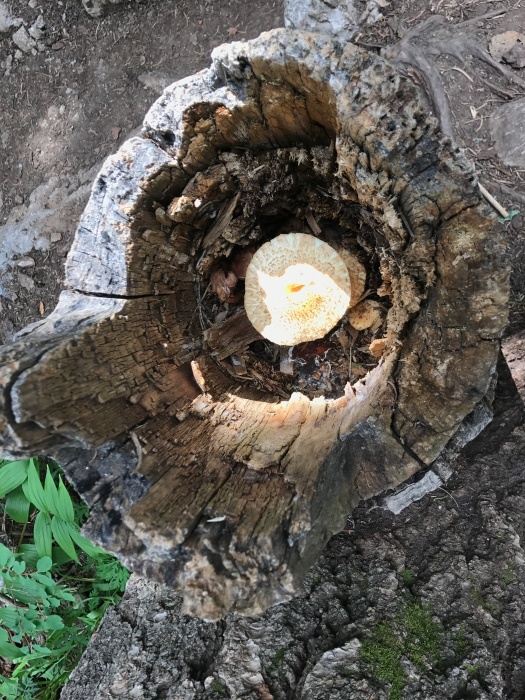
So many mushrooms, so little time…

IMG_8435IMG_8437IMG_8439

IMG_8442
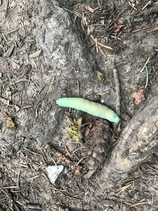
That is one hefty caterpillar.

IMG_8446IMG_8449

IMG_8453
SNACKTIME…jk
IMG_8454
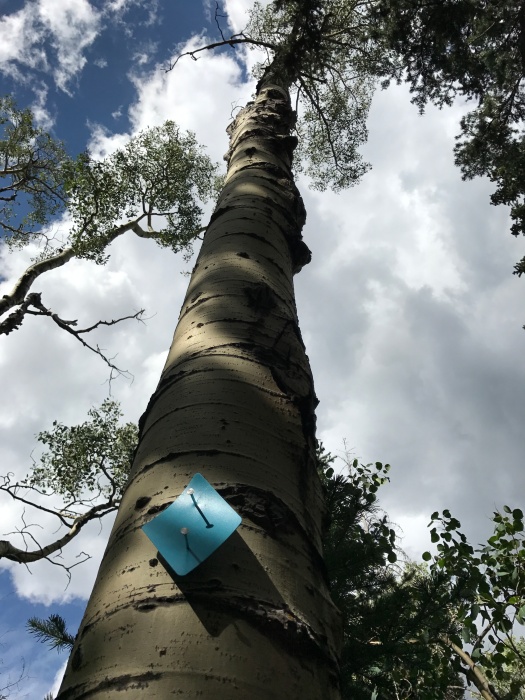
10K Trail blaze on an aspen
IMG_8455
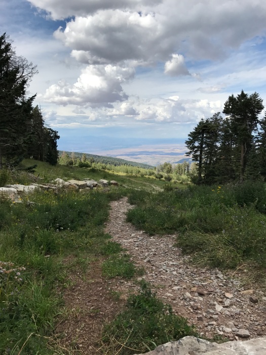
You can tell that the hills are alive with the sound of music down there, right? But the thunder was rolling and the sky behind us was black, so we kept going.
IMG_8458
Parting shot

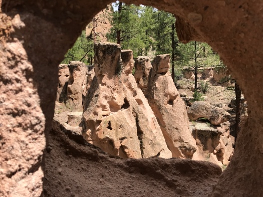
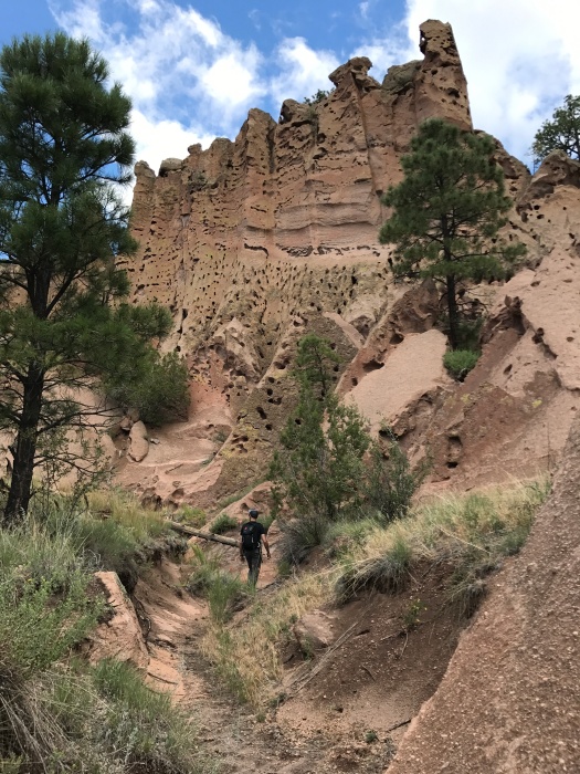
There will be goblins: The most delightfully weird hike in the Jemez

“Hey!” my husband yelled. “There’s a bunch of Swiss cheese penises!”

I’d already done more climbing and scrambling than I expected, and was ready to head back down.

But how do you not look at Swiss cheese penises?

I dug in my poles and pushed up the steep slope.

***

In fall 2015, my sister gave me the gift that started it all: Stephen Ausherman’s “60 Hikes Within 60 Miles of Albuquerque.”

When I opened it, the first thing I saw was a place called Paliza Canyon Goblin Colony.

Sold.

Upon our arrival there in November, a ginormous tarantula greeted us.

It’s my only hiking encounter with a tarantula. So far.

That day it was around 40 degrees, with a cold wind. We were eager to see the canyon in summer, and when we reached it today, the morning after an hours-long soaking rain, we were not disappointed.

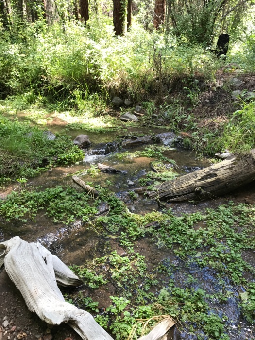
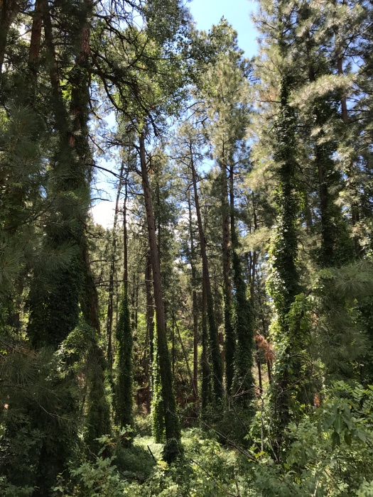
Paliza Canyon is seven miles up a narrow forest road from Ponderosa Winery. The hike is on another old forest road that winds along little Vallecito Creek. Brick-red dragonflies, a good 10 kinds of butterflies and little striped lizards darted across the road. Small electric-blue butterflies swarmed around what appeared to be elk scat. Ponderosa pines swayed in the wind above; thick vines wrapped around the trunks of the ones near the creek.

There are two gorgeous campsites tucked into the pines, right next to the gurgling creek. We didn’t see a soul there or anywhere on this hike, despite the full campground just a couple of miles away.

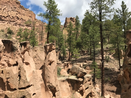
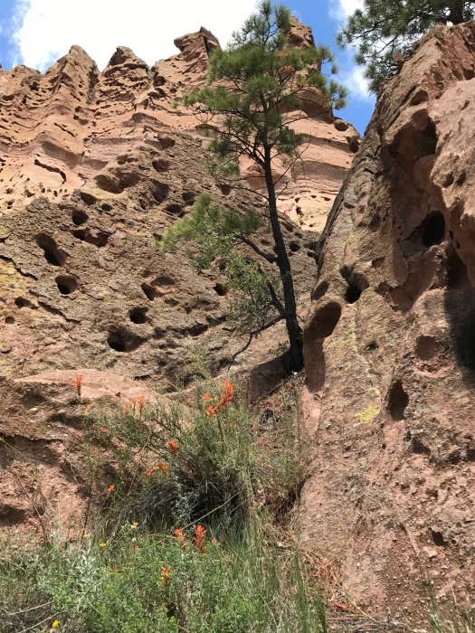
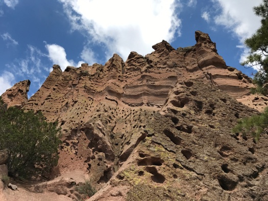
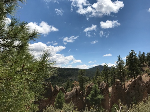
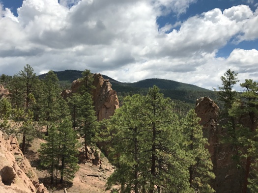
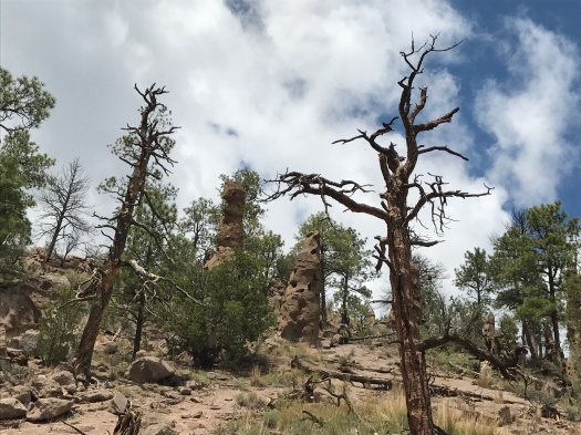
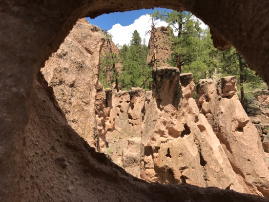
The road climbed gradually. Rock formations appeared. Then, a mile and a half up, the goblins. Acres of hoodoos, tombstones, fingers point into the sky. Your challenge: navigating the steep canyon for a closer look at them.

Bonus: As you climb, the view of the forested ridges around you just gets better and better.

Indian paintbrush and other wildflowers lit up the base of some of the goblins. Tangles of vegetation grew out of shaded spots in the rock in the big formations.

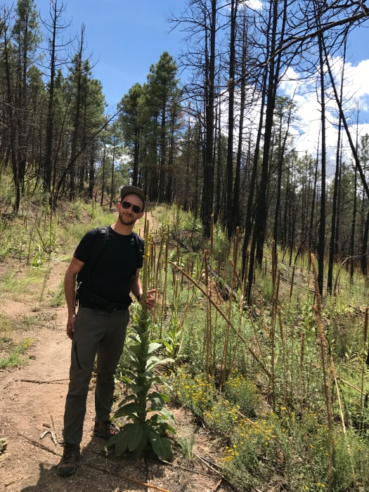
After a good hour of tramping around the goblins, we hiked further up the road. We passed through a small section of burned trees where new growth of wildflowers and vegetation carpeted the ground. A mullein plant stood as tall as my husband. We rounded a bend and views of mountain ranges and mesas opened before us.

So did a threatening bank of dark-gray clouds. We were running out of road. It was time to head back.

As we neared the creek again, I spotted an even smaller pocket of burned trees.

What kind of fire burns a few trees here and there? I asked my husband.

One that gets rained out, he said. The canyon serves as a natural firebreak too. (The area had been closed for remediation from the Cajete Fire when we tried to hike here three weeks ago.)

I stopped to take a picture of a butterfly on a bush, and thunder boomed in the black sky behind us. I abandoned picture-taking and hustled. Ahead, the sky was brilliant blue. There was no sign or sound of the storm when we reached our car.

As we drove back down through the valley, we admired a soaring ridge full of the same Swiss-cheese holes we’d seen on our hike.

No penises, though.

The goblin colony’s the only place I know of where you can see that.

Hike length: 5 miles

Difficulty: The hike’s easy; clambering around in the goblins is not

Trail traffic: none today

Wildlife spotted: bluebird, chipmunk, dragonflies, butterflies, nuthatches, jays, squirrels
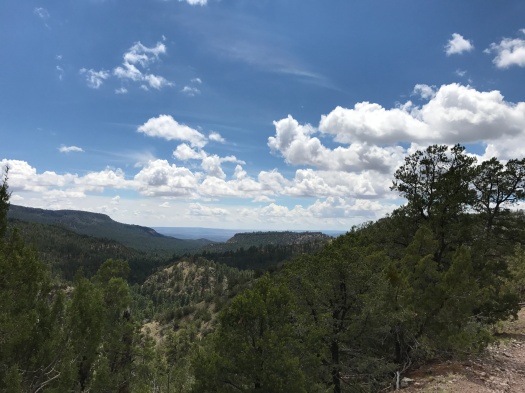
Tip: This is a beautiful hike in the summer, but go early in the morning. While some sections are well-shaded, the sun really beats down on that first mile and the ridge.

IMG_8338

IMG_8343
Vallecito Creek
IMG_8344
Vine-covered ponderosas by the creek
IMG_8347
THEY’RE EVERYWHERE

IMG_8348IMG_8352IMG_8358IMG_8360

IMG_8367
Welcome to Stonehenge.

IMG_8368

IMG_8397
Ladies and gentlemen, I give you…Swiss cheese penises.

IMG_8401IMG_8403

IMG_8409
New life in the burn zone: husband-sized mullein.


You have probably never been here in the summer. But you should.

I.
It was because I was going slow that I saw her.
It was a steep section of trail and I was huffing and puffing, lifting one foot in front of the other. I looked to my right and saw something tawny above a rock outcropping fifty feet away. My first thought was “oh shit, bobcat.” Fear began.
Then I looked into gentle eyes and saw a doe, staring right back at me.
We stared for what felt like several minutes, but probably wasn’t. She also looked at my husband, who was about five feet ahead of me on the trail. She slowly began chewing, as if she’d frozen midbite when she saw us. I saw her blink several times.
Then she turned and walked calmly away into the forest.
II.
“These are the mountains everyone knows about and few people really know.”
The New Mexico Wilderness Alliance’s Wild Guide entry for these mountains is mournful, lamenting how far away they are from Albuquerque and how much effort it takes to get to them.
Those are the exact things I love most about them.
I will tell you how to get there.
Get off I-40 at the Tijeras exit and drive south on Highway 337. Squeeze and wind your way up through narrow canyon walls, passing bicycles on your right. It’s dramatic and lovely, but also familiar. You’ve done this before, maybe for a picnic, maybe to reach trailheads in the Manzanitas. Maybe you’ve gotten lost on the trails in the Manzanitas. A lot.
Once the road’s steep climb levels out, you leave behind all that is familiar.
You are in a place densely forested with evergreens, but it is also a high, rolling green valley. Its settlements are named Yrisarri, Escobosa and Chilili.
No one hikes here. Signs along the road say things like “Land Grant Hiers’ Property! Not For Sale!” and “There is nothing beyond this fence worth risking your life for.”
You pass burn scars from the Dog Head Fire last year. Officials came to Chilili to evacuate it. But many people stayed. Those residents of this two-centuries-old land grant would rather risk fire than leave.
This morning, the entire populace of Chilili stands under the back awning of a small church, where the dance of Los Matachines is taking place. The dancers wear tall, dark headdresses and scarves.
South of the villages, the salt lakes in the Estancia Basin glimmer into view on the horizon. White wind turbines turn on a faraway mesa as you turn onto NM 55. You’re almost there.
If you had land here, you’d face off with a fire to keep it, too.
III.
The last time our car climbed the seven-mile dirt road to the trailhead, it was one of a line of dozens of cars doing so. The overflow from the hiker parking lot at the campground spilled onto the road.
As soon as we arrived, it was obvious that it was worth it.
Fourth of July Canyon in the Manzano Mountains is the site of New Mexico’s most spectacular display of fall foliage. We were there several days past its peak, and it was still astonishing. We hiked seven miles and every step was a fresh riot of reds, yellows and oranges.
We didn’t mind the crowds; all the people were happy, nice New Mexican leaf-peeping families, and the crowd thinned after about a mile and a half.
But to be there today, the forest a riot of sunflowers and wildflowers and foliage, and have it all to ourselves was exquisite.
The campgrounds were nearly deserted. My husband said it looked like someone had sent out a memo and we were the only ones that hadn’t gotten it. In four hours of hiking, we didn’t see another soul on the trail. The silence was a living thing. Even with a trickling spring, and later a creek, and pines sighing, and birds and squirrels chirping, the silence was a sound right there among the rest.
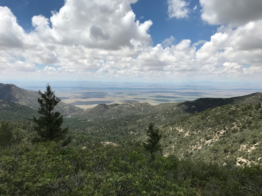
The forest is so lush – especially today, fresh off a rain last night, parts of the trail still damp – that at times it’s like you’re in the jungle, and daylight is far away. At one point, near the top, the trail is so overgrown with spiky honey locust that you can’t see your feet beneath you as you push through it.
Then glimpses of the very tops of the peaks above, or the brilliant blue sky, or the fluffy clouds, or the salt lakes, or the rolling valleys, remind you where you are and how you got there.
At the overlook at the top, a cool wind blew with ferocity and the clouds scuttled by fast, their shadows dotting the plain of Los Lunas and Belen far below.
A thousand feet below that, we closed the loop of this hike by walking along the forest road we drove in on. That’s where my husband spotted another deer and pointed. He was an adolescent, with small antlers, still growing. He watched us for a moment from a ridge across the creek.
We’d never been that close to a deer on the trail. The solitude of Fourth of July Canyon in August allowed us to experience it – twice.
All this hike has to offer could be yours and yours alone, for the day, or the night, if you go in the summer.
Do it.
Hike length: 6.5 miles (this spectacular route, and the tip to do it in summer, came from “60 Hikes Within 60 Miles of Albuquerque” by Stephen Ausherman)
Difficulty: moderate
Trail traffic: none
Wildlife spotted: doe and buck, woodpecker, jay, bluebird, vulture, crow, eagle (we think), squirrels, prairie dog (we think)
IMG_8280
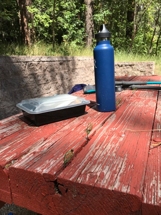
Even the picnic tables are green…check out the sprigs growing out of them!
IMG_8281
You weren’t gonna get out of a hiking blog about the Manzanos without a picture of a butterfly on a sunflower.

IMG_8297IMG_8306IMG_8307

IMG_8310
Dead center below: Los Lunas, home of a Facebook data center under construction.

IMG_8316IMG_8320IMG_8323

IMG_8325
High mountain meadow
IMG_8327
Welcome to the jungle…

IMG_8328

IMG_8329
Field of sunflowers along Forest Road 55