On some maps of the Manzanita Mountain trails, it just appears as “Gnasty.” Which is eye-catching enough.
On others, its moniker is even more in-your-face: “Gnasty with a G.”
I hadn’t thought I would ever end up there. It’s a mountain bike path, and part of the warren of Manzanita trails where we tend to get lost.
But I was destined for Gnasty today, though I didn’t know it.
Our hike began at Otero Canyon, the second pulloff where you can hike on Highway 337 south of Tijeras. I’d seen a friend post a beautiful picture of it and was intrigued.
I’d slept late, and by the time we dawdled to the trail, it was nearly 11 a.m. We had three cool, cloudy days in Albuquerque this week, and the sky was that punch-me-in-the-face blue you get in fall.
But within our first steps onto the trail, it was obvious that it was still summer. There are many unshaded sections of this hike and the sun was absolutely blazing.
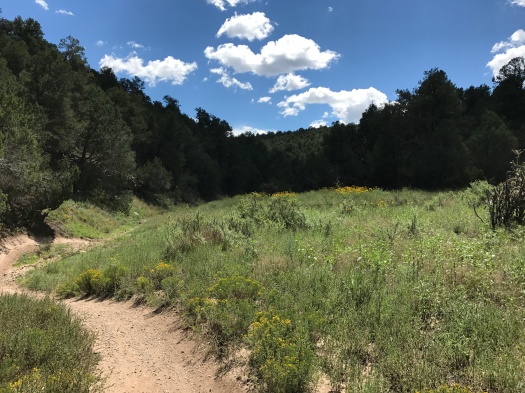
So were the wildflowers. If there is a better place within 20 miles of Albuquerque to see wildflowers right now, I don’t know of it. Sunflowers and yellow daisies danced in the wind, while red Indian paintbrush, lavender asters and tiny white flowers we couldn’t identify carpeted the ground. We saw every color of the rainbow and then some in wildflowers along the trail. All sizes and colors of butterflies danced around the canyon. The most plentiful were black, orange and white.
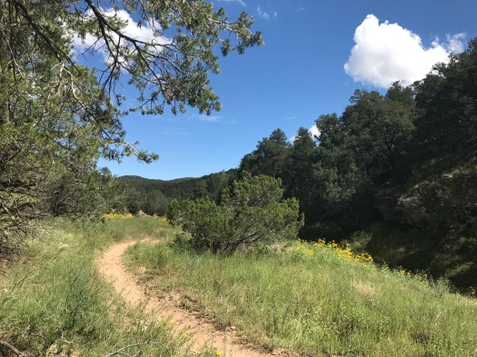
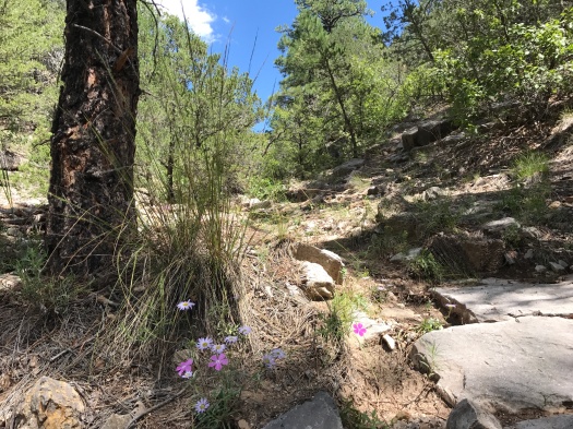
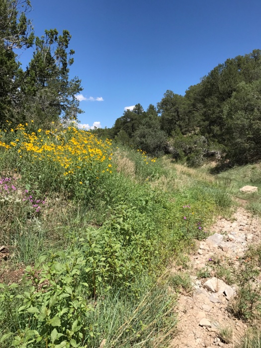
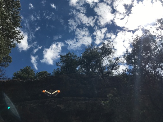
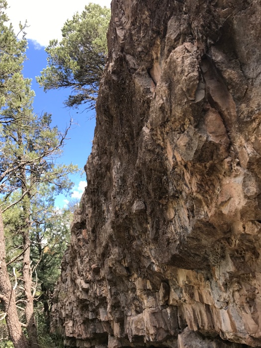
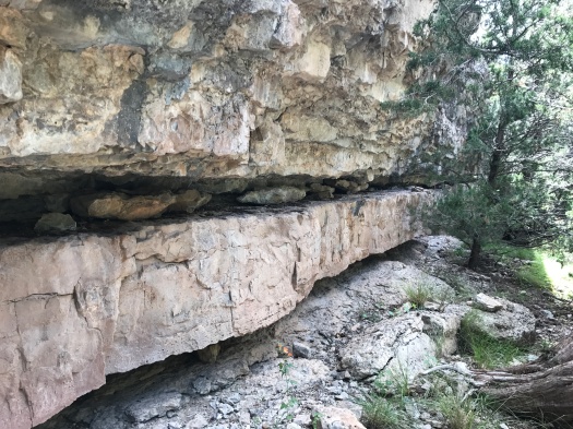
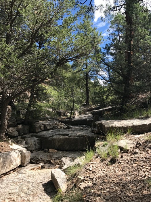
The Otero Canyon trail winds through stacked limestone formations. We saw no other hikers, but tons of mountain bikes and a few motorbikes. Luckily, there was pretty much always an arroyo when we needed to scoot off the trail.
We watched two Abert’s squirrels chase each other up and down a tree, and later, we saw a Cooper’s or sharp-shinned hawk chase another along a ridge. I knew I was anthropomorphizing them, but it was hard not to. There was no obvious evolutionary benefit to what they were doing; it seemed it had to be play.
The maps showed the Otero Canyon trail extending nearly four miles. But two miles in, we came to a blatant Department of Defense stay-away-from-our-unexploded-bombs sign.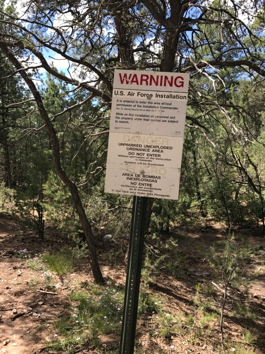
Plenty of bikes were whizzing in and out of that area, but I didn’t want to get arrested or exploded today.
However, the trail climbing up a ridge just north of the unexploded-ordnance area was – you guessed it – Gnasty. Trail signage confirmed it, and there was even a hand-carved wooden sign, the kind you’d see on someone’s front porch, hanging from a tree: Gnasty with a G.
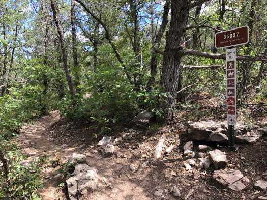
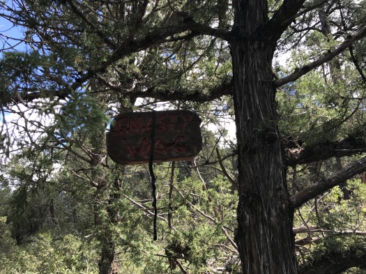
Gnasty is lovely, though challenging. It’s steep, rocky and narrow, with Gambel oak squeezing in on both sides. Ridgeline vistas quickly come into view through the trees.
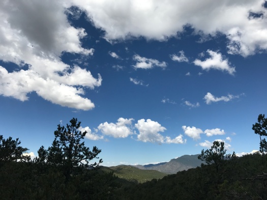
As we ascended, a couple of folks on mountain bikes were descending. We watched a ripped 70-year-old man steer his bike rapidly and with complete control down a stepped hairpin turn.
We went about a half-mile up Gnasty, then reversed course. When we got back to Otero Canyon, we stopped at the first limestone arroyo for a snack.
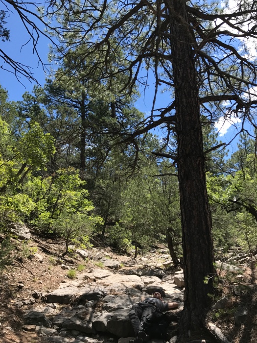
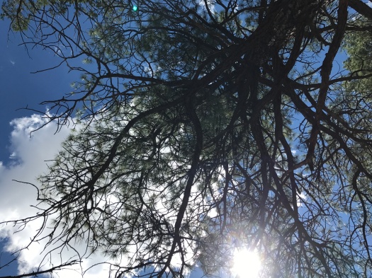
We lay on the cool rock beneath a giant ponderosa, watching clouds scuttle across the sky, listening to silence until the buzzing of flies overtook it.
That’s when it hit me: I could get used to Gnasty living.
Hike length: 5 miles
Difficulty: moderate
Trail traffic: moderate
Wildlife spotted: jays, crows, hawks (Cooper’s or sharp-shinned), butterflies, canyon towhees (we think), Abert’s squirrels

2 Replies to “I didn’t plan to get Gnasty on this hike, but I don’t regret it”