Rerouted: A tale from the west face of the Sandias

We were not lost.

To be lost implies that you have been where you needed to be, and strayed from that place.

We had yet to be anywhere.

We were trying to access Movie Trail in the Sandias from the Piedra Lisa trailhead.

IMG_8733

Signs at the parking lot proclaimed that Piedra Lisa Trail had been rerouted, and the new route was across the road from the old trailhead. But when we walked up the road to the old trailhead, it was blocked, but there was no alternative across from it. We walked further, inspected a path into the woods, but it dead-ended.

Finally we walked back to the parking lot to start over, thinking we must have misread the signs.

There we saw the new route, well marked, right across from the parking lot. We’d walked right past it.

IMG_8734

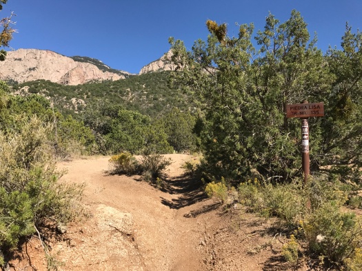
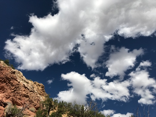
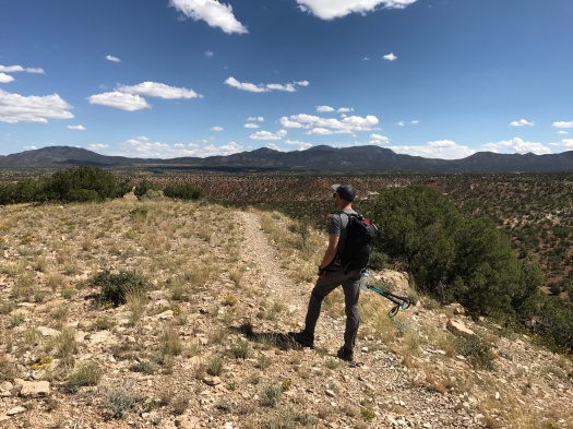
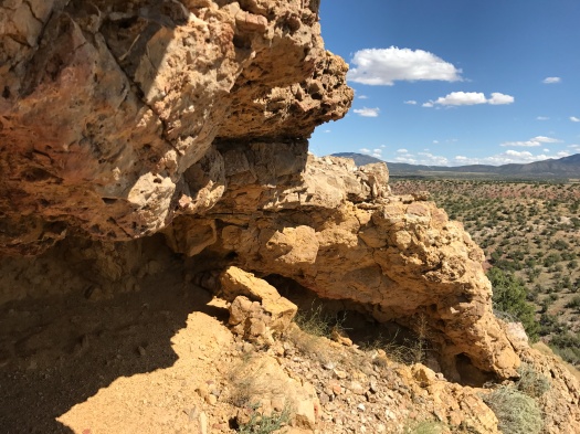
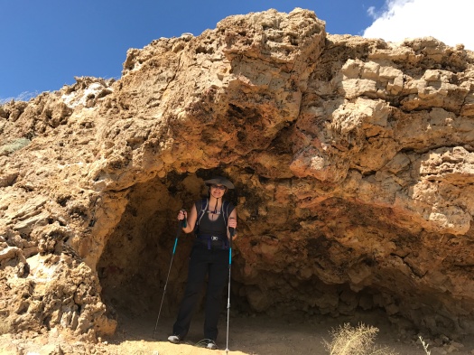
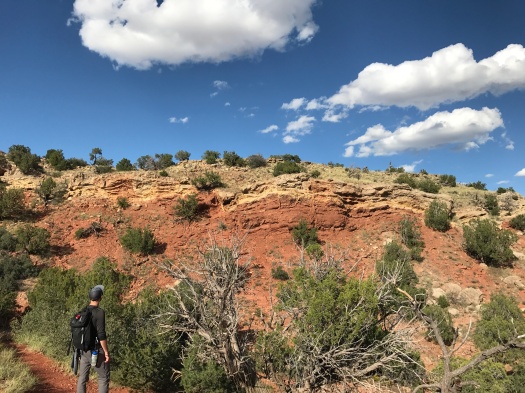
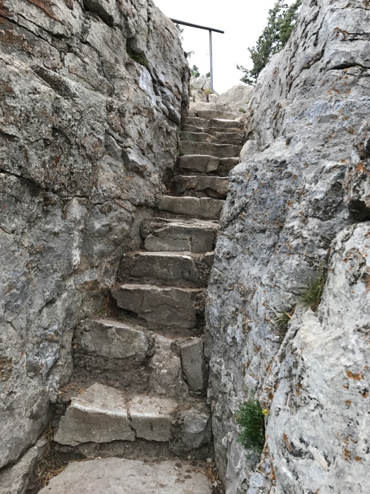
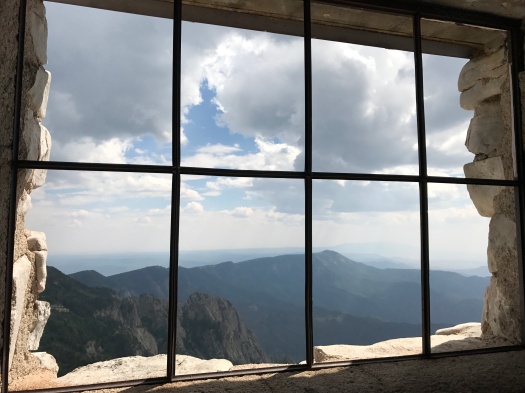
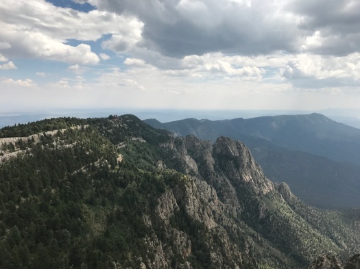
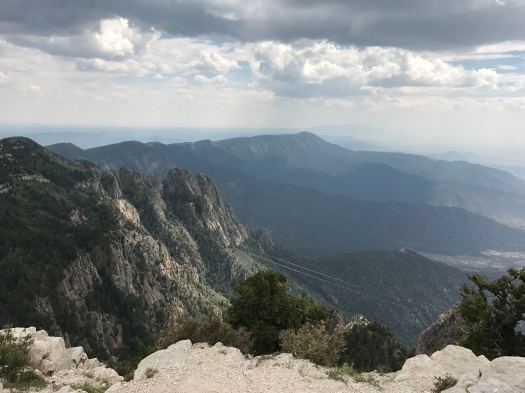
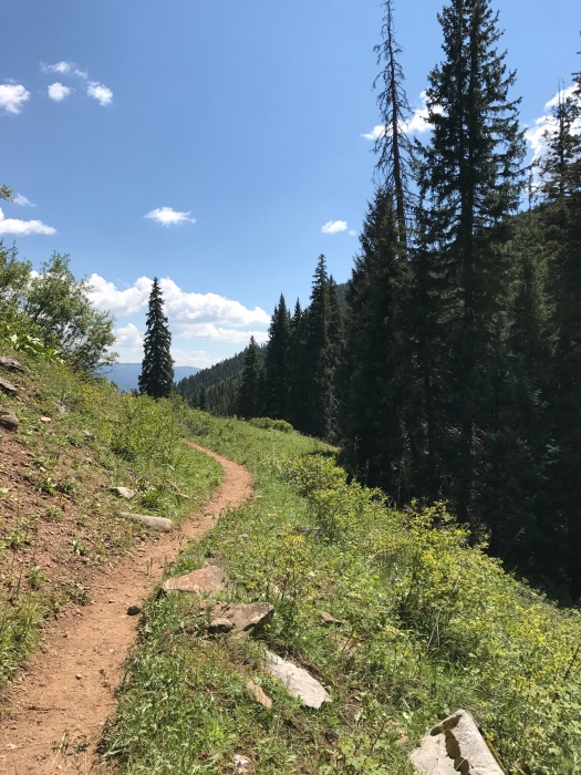
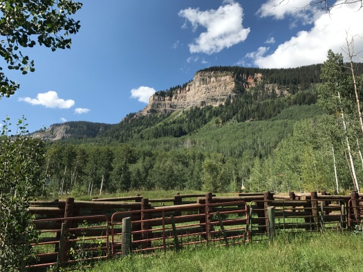
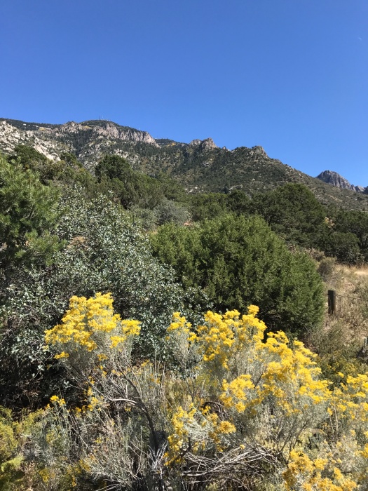
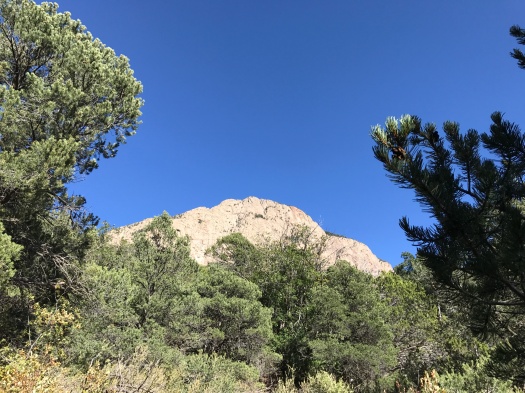
I was annoyed with myself as we began to climb. Piedra Lisa is steep, rocky and brilliant on a clear blue fall day like today. It has killer views of three of the main features of the western face of the Sandias: the Shield, the Prow and the Needle. We were headed up to the base of the Prow.

IMG_8746
This is as close as we got to the Shield today.

Or so we thought.

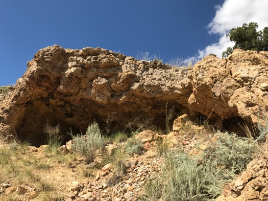
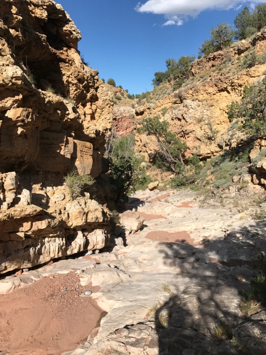
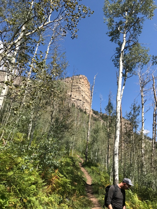
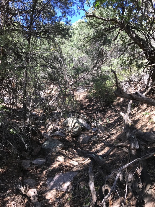
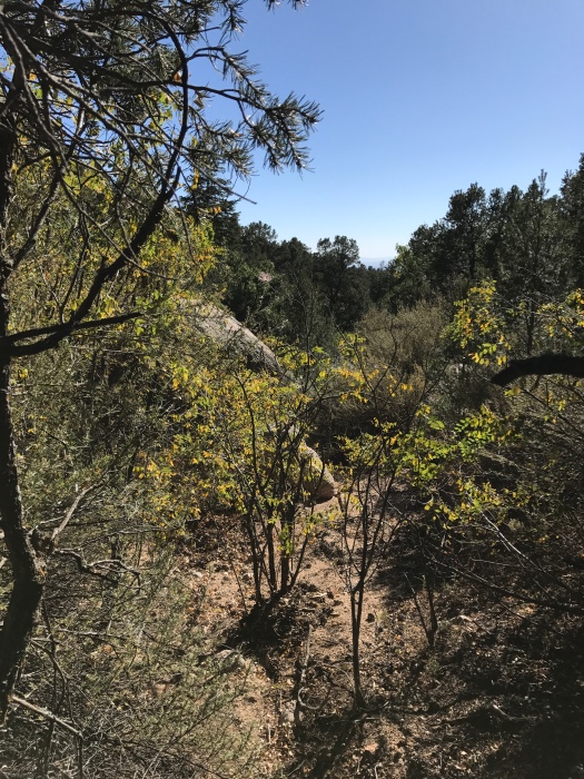
We made the turn we believed our trusty guidebook was telling us to make, but we found ourselves in an arroyo. A sign informed us we were in Upper Juan Tabo Canyon, and we deduced from our guidebook that we were on Fletcher Trail, an unmaintained route that follows an arroyo to the base of a rock formation called UNM Spire. It’s only accessible six months of the year; the rest of the time it’s closed to protect bird habitat.

Since we’d already burned an unnecessary mile of walking on the road and we were on an identifiable trail, we stuck with it, even though it wasn’t the one we intended to hike.

I’ve done a lot of arroyo hikes. But until today, I’d never done one that climbed 1,000 feet. Spoiler alert: It’s hard.

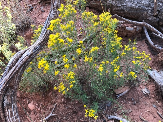
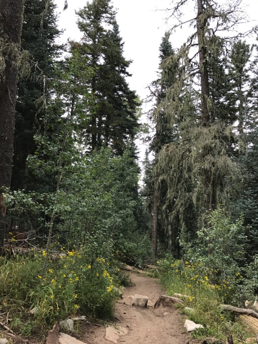
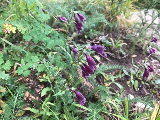
The sandy surface made climbing slow going. Brush taller than my husband choked the trail in some spots. At times we were climbing on rocks, ducking under tree branches and pushing aside brush all at the same time. All the Sandia butterfly greatest hits darted through and above the brush, from the orange, black and white ones to small ones in yellow, lavender and white. In spots where the brush was thick, flies swarmed us too.

It was clear pretty quickly we weren’t going to get to UNM Spire. Just under a mile into the arroyo, we encountered a thick tangle of tree branches. Rather than pushing through it, we sat down under it. In the shade, the breeze felt crisp and cool.

IMG_8739
View above our resting spot.
IMG_8740
View of the trail above us.
IMG_8741
View back at the trail where we’d been.

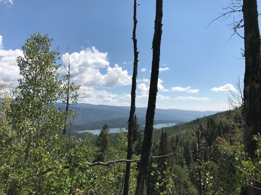
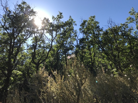
The hike back was much easier, and not just because it was downhill. You could see further; twists in the path that we could barely see on the way up were discernible on the way down. The falling autumn sun waved through the leaves and brush, lighting up thistles.

IMG_8748

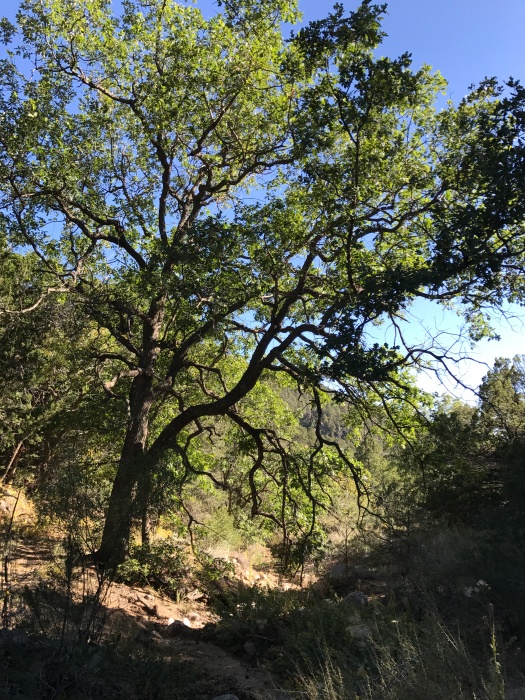
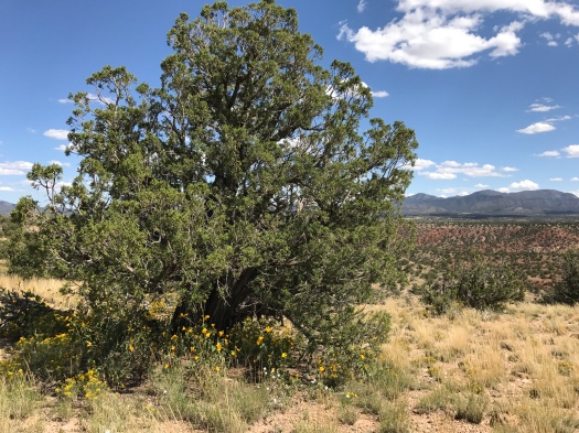
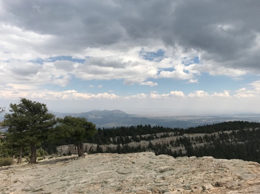
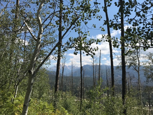
We walked through big stands of oak, a rare sight in the Sandias, where the tree is usually of the Gambel oak scrub variety.

IMG_8752

Despite the double rerouting, I’d gotten my wish for the day: to explore a trail I’d never seen.

But for now, UNM Spire remains a mystery.

Hike length: 4.3 miles (including unintended 1-mile detour)

Difficulty: moderate

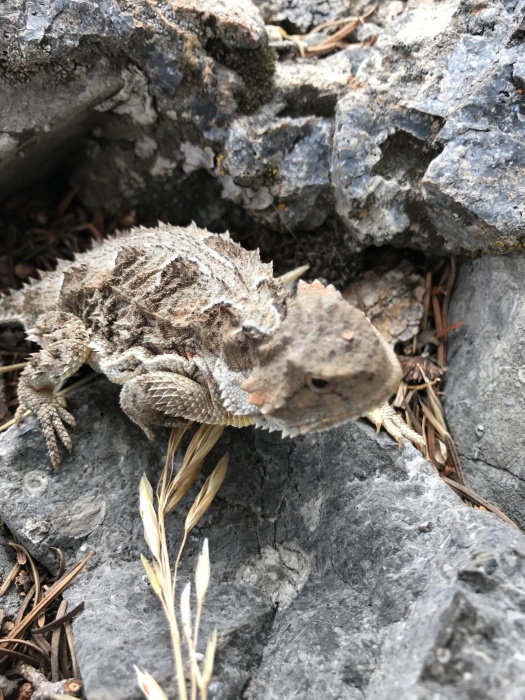
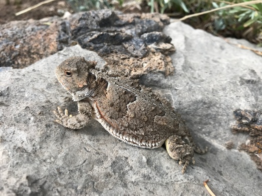
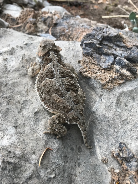
Wildlife spotted: bluejays, butterflies, dragonflies

Trail traffic: moderate on Piedra Lisa, none on Fletcher Trail

Disclaimer: I may have hallucinated this entire hike

The sky’s so blue it’s pulsing.

Giant cotton-candy clouds unfurl above us. One cloud is a dragon crossed with a seahorse. It spins off wisps that float and disappear. A hole opens in the cloud, swirls, then closes again. Two birds fly just below the cloud, so high they are specks.

IMG_8704

Gradually, I notice my surroundings other than this cloud. A small white butterfly dances around wildflowers growing out of red and beige rock walls. A breeze brushes my skin. I’m almost chilly. One hour ago, that was a feeling I thought I’d never have again.

We’ve been lying on rocks staring at this cloud for 30 minutes.

What is this trip we’re on?

***

This was a “Clerks” hike: “I’m not even supposed to BE here today!”

We were headed to hike in the San Pedro Mountains for the first time, a route out of Stephen Ausherman’s incomparable “60 Hikes Within 60 Miles of Albuquerque.”

But the dirt road to the hike was chained and padlocked.

We were less than a quarter-mile from the hike’s start, and it was our understanding that it was on public land, but we didn’t want to cross the padlocker, who clearly thought otherwise.

The only other hike we knew of in the area: Golden Open Space, an oasis in the Sandoval County hills owned by the City of Albuquerque, also a route we found in Ausherman’s book.

So we headed up lovely, twisty La Madera Road (even its name is glorious), notching three wrong turns even though we’d already been there.

We arrived at the open space just as some cyclists were leaving. They were the last souls we saw.

We followed a loop to an overlook with killer views of the Sandia, Ortiz and San Pedro Mountains. We could see the road we’d just driven in search of the San Pedro hike. The forested hills below us glowed brick red. A cottontail noticed us and bounded for cover, and a bluejay swept by.

IMG_8668

At least four kinds of yellow wildflowers covered the ground, and some looked almost chartreuse in the bright sun. We noticed yellow daisy-like flowers sprouting from the ground beneath the branches of twisty cedar trees.

IMG_8675

We set off for a shelter cave at the end of the loop. It takes some scrambling to get there, and though I’d done it before, I couldn’t look down.

IMG_8676

As cool as caves are to look at, they freak me out, because creatures live in them. I hadn’t gone inside the cave on our last visit. But that was before I had a hiking blog. People with hiking blogs don’t pass up the opportunity to take pictures in caves. So I climbed in.

IMG_8678

I liked it, actually. I could see the whole cave; I had room to stand up in its mouth, though it quickly tapered to a couple of feet high behind me.

IMG_8681

When I climbed down, I realized I was roasting like a chicken kabob.

The upper loop of this hike has no shade, and the lower loop doesn’t have much. It was a glorious day, about 76 degrees, but 76 degrees with the sun high in the sky and no shade at 7,000 feet is blistering. I reapplied sunscreen, we headed for the lower loop and left the trail for an arroyo in search of a little canyon shade. The arroyo quickly met a larger one, and my husband built a cairn so we’d recognize where the little arroyo that would lead us back to the trail branched off.

The big arroyo was pretty sunny. It was also pretty trippy.

Corrugated red rocks undulated beneath our feet. Stepped layers of rock stretched down one side of the arroyo. Far above, the shelter cave we’d climbed into shimmered.

IMG_8687IMG_8714IMG_8719IMG_8720IMG_8708

At the end of the arroyo, where it met another, came cloudland. When I got up from our cloud hallucination to get a peek at the next arroyo, my husband saw a tarantula hawk walking along the rocks.

That next arroyo was a rock garden, the walls on each side twice as high as the channel we’d just been in.

I was too tired to explore it today.

But I can’t wait to see what kind of trip awaits us there.

Hike length: 5 miles

Difficulty: moderate

Trail traffic: nope

Wildlife spotted: blue jay, cottontail, tarantula hawk, dead rat in arroyo, violet gray swallow, finch

This hike’s only three miles, but it took me eight years

Before today, I had never been to the Sandia Crest.

That’s right. In eight years of living in Albuquerque, I had never had the quintessential local experience, the thing many visitors do within a few hours of arriving.

I can’t really say why. I’d hiked all over the mountain, including to the tram terminal at 10,400 feet. But I’d never made it up to the top, two trail miles and 300 feet higher.

Today was the day.

If you are beginning your hike from the Crest House, your first impression of the Crest Trail is staggering. I’ve hiked steep trails on many mountains, but none with such a steep dropoff so close on one side.

IMG_8575

The scene is breathtaking. With the dropoff and the elevation, I didn’t have much breath to spare.

“CAW!” hollered a crow cruising just above us, closer and louder than I’d ever heard one. Then, as we stared up, five vultures wheeled into sight, riding the wind.

I hoped they weren’t circling because of an instinct about my ability to keep from plunging over the edge.

It was 65 degrees, sun and clouds regularly trading off, as the temperature climbed to 90 on the valley floor below. A gentle rain fell.

We climbed a short and narrow rock stairway, the limestone cool under our hands.

IMG_8648

As we headed into the darkness of the tree cover, I felt steadier and more secure on my feet. Moss dangled from fir trees around us. The familiar scent of the forest filled my nostrils.

IMG_8581

The sky ahead grew brighter, and a huge, lush meadow came into view on our left. It was closed to hikers, so we admired it from afar. The rain lessened, then stopped.

IMG_8644

We spotted our destination: the Kiwanis Cabin, a stone cabin built by the Civilian Conservation Corps in the 1930s.

The cabin is amazing. It stands at the edge of a rocky limestone hill, sturdy and strong. Birds flutter onto its sills and into it.

IMG_8608IMG_8605IMG_8606IMG_8611IMG_8617IMG_8619IMG_8616

But as awesome as the cabin is, the view is even more incredible.

IMG_8589IMG_8592IMG_8595IMG_8622IMG_8633

It offers a perfect vantage of the long limestone ridge where the tram terminal sits and the Ortiz and San Pedro mountains beyond. We could see the tram making its slow way down the mountain. It was hazy below because of smoke from the Oregon fire, but on most days, you’d be able to see the Jemez and Ladrones mountains, too. The cloudy, hazy sky created an incredible play of light and shadow on the ridge and the steep, rugged canyons below. I could have watched it all day.

I climbed down to get a better view of the meadow. As I climbed back up, my husband exclaimed, “Hey! I almost stepped on you.”

Luckily, he wasn’t talking to me. It was a horny toad, nosing around for a rock crevasse to disappear into.

IMG_8636IMG_8639IMG_8638

We headed back through the forest and emerged on the edge of the mountain. It started to rain again, or maybe it had been raining up there the whole time. But now that I had my bearings, I carefully explored the detours that ran a little closer to the edge than the main trail.

As I stood by our car stretching, a crow flew into a fir tree above us. It began a low, steady bleat from its spot within the branches.

On our way down the mountain, we saw two deer on the side of the Sandia Crest Highway, and a bluejay flew overhead.

I still don’t know what took me so long, but the view from up there was worth the wait.

Hike length: 3 miles

Difficulty: easy

Trail traffic: heavy

Wildlife spotted: horny toad, crows, ravens, vultures, towhees, chipmunk

TIP! The pit toilets at the Crest are super gross. They just get such heavy use that it’s kind of hopeless. The Tree Springs trailhead at 6 miles up the Crest Highway and the 10K trailhead at 10 miles have perfectly acceptable pit toilets. Go there.

IMG_8647

Durango, where we found the great cow crossing in the sky

As I made my way cautiously along the side of the steep mountain, the sloping green meadows, soaring stand of fir and jagged peaks nearby kept catching my eye.

So did the fresh – and enormous – cow patties underfoot.

It blew my mind that a 1,000-pound creature could not only navigate the narrow path, but could relieve himself (or herself) there without toppling off.

I saluted that cow.

IMG_8562
Cows pretty clearly had rocked this path. And left their mark.

***

When I searched for a hike near Durango, the options overwhelmed me.

I found exactly what I wanted in a little guidebook in Maria’s Bookshop downtown: Castle Rock. A hiker stood triumphantly atop the rock in the picture, taking in 360-degree views.

IMG_8542
Where the climb to Castle Rock begins.

The hike was only 6 miles. Yes, it rose 1,600 feet to top out at 10,000 foot elevation, but I’d done a similar hike in length and altitude at home. No sweat.

Actually, sweat was one of the defining features of this hike. Copious amounts of it.

It was hot this Labor Day weekend in Durango, much hotter than when a thunderstorm chased us down from Engineer Mountain the same weekend last year.

On this day, it was 80 degrees even at 8,500 feet. The brilliant sun blazed down as the first two miles of the trail switchbacked through some of the tallest aspens, spruces and firs I had ever seen.

IMG_8546
Looking up at Castle Rock from the trail

The tall, thin trees meant few sizable patches of solid shade.

Electra Lake glimmered into view across Highway 550 as we climbed, followed by rocky peaks. The sounds of the highway began to fade.

IMG_8563
Electra Lake through the trees

IMG_8550

When we finally reached a cabin at the edge of a meadow, I wolfed a sandwich from the co-op and guzzled water.

IMG_8555

I knew I wouldn’t stand atop Castle Rock this day – the tree cover was basically finished, the steepest climb lay ahead and the day just kept getting hotter.

But before we turned back, we couldn’t resist climbing across the meadow to see what views lay around the bend. That took us out to Cow Patty Ledge.

IMG_8559IMG_8560

As we descended, the will-I-make-it-to-the-top chatter stilled, I focused on getting into a rhythm so my senses could engage more fully: with the scent of fir, the sound of crows in the trees 60 feet above us, the chickadees flitting from one side of the trail to another.

This is probably the last week heat will be a factor on that hike for a long time. Patches of aspen leaves already glimmered golden, and some swept down in the breeze around us as we descended.

I still want to see what southwest Colorado looks like from the top of Castle Rock.

Maybe I can catch a ride with a cow and see how they do it.

Hike length: 5 miles

Difficulty: moderate

Trail traffic: a bunch, including horses

Wildlife spotted: finches, chickadees, crows, butterflies, grasshoppers