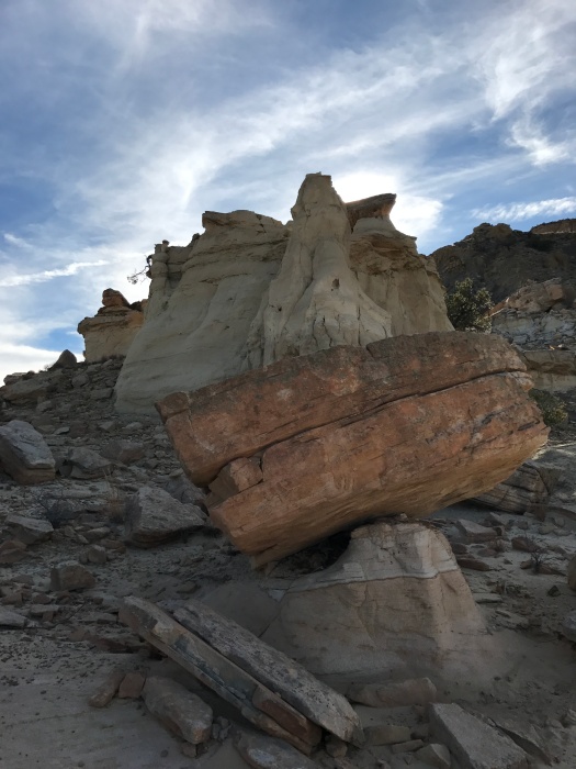
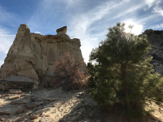
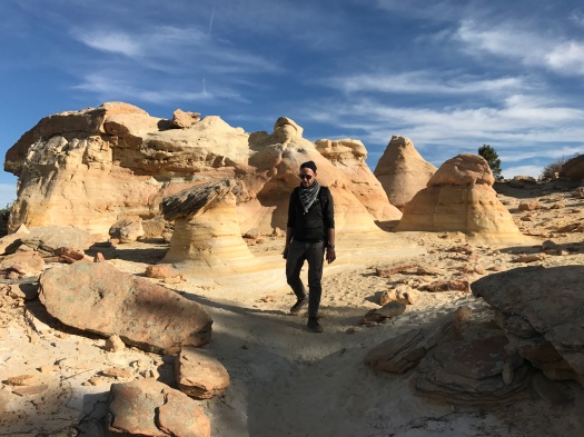
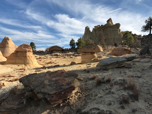
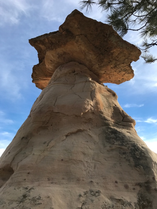
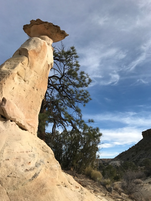
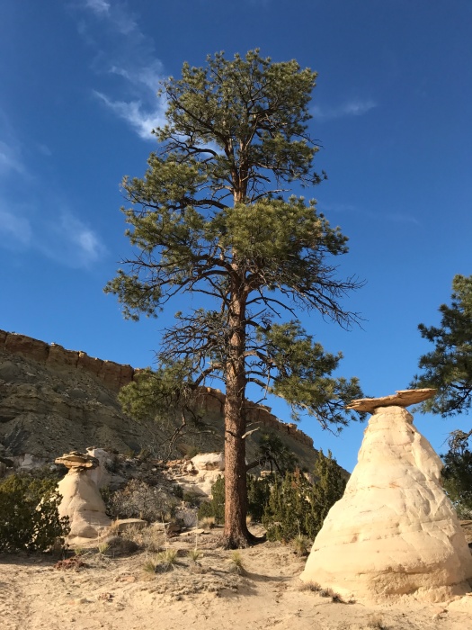
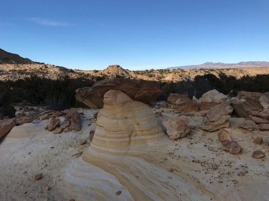
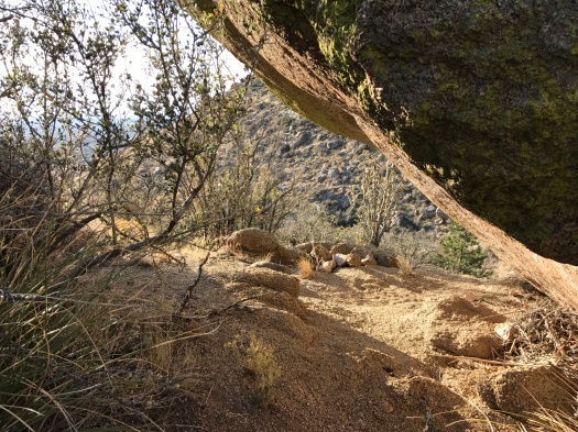
I thought about doing something like that with the word “hoodoo” for my post about hiking Hoodoo Pines in the Ojito Wilderness. But it doesn’t work without intonation.
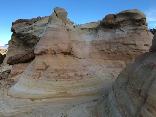
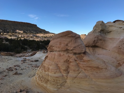
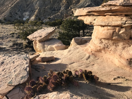
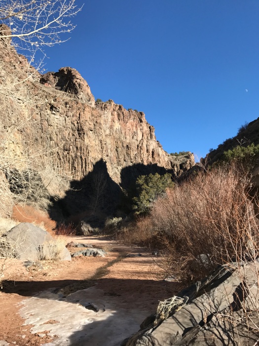
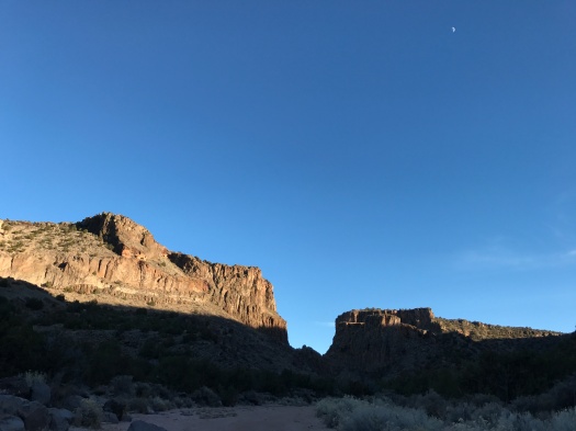
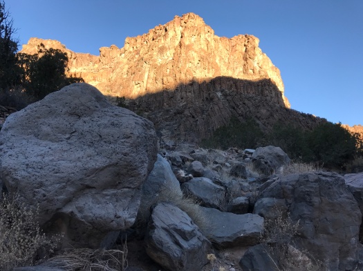
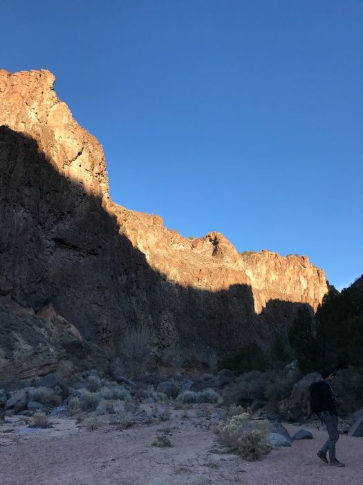
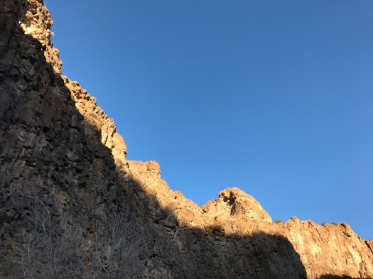
So, instead, here are the many faces of the Ojito hoodoos, in pictures. (For the uninitiated, Merriam-Webster defines a hoodoo as “a natural column of rock in Western North America often in fantastic form.” Word.)
We stepped off the trail just in time for two mountain bikers to whiz past.
“Just out enjoying a beautiful spring day!” one called to us, laughing.
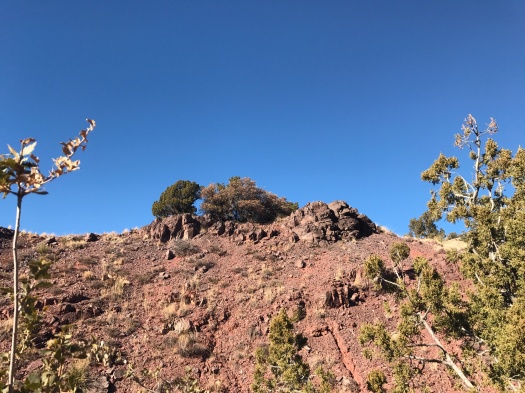
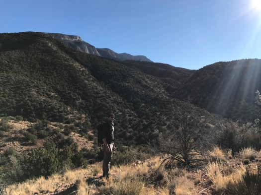
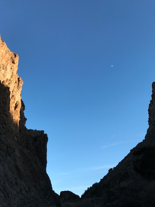
It’s Dec. 28. One minuscule patch of snow graces the Sandia foothills in Placitas. I was hiking in short sleeves.
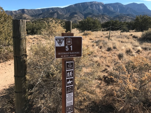
We were soaking up the sun and the breeze on the Strip Mine Trail.
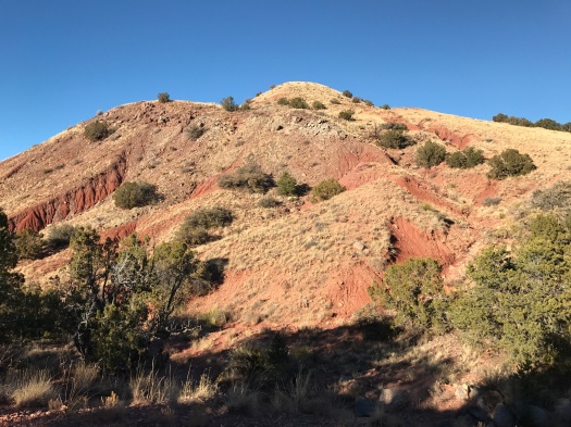
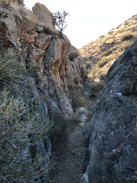
What they mined there, I can’t say. The Sandia Mountain Hiking Guide promised an abandoned mine. We never saw one. But we soon saw, amid the pinon-juniper hills, veins of deep red and purple earth winding through the arroyos.
At points the rocks underfoot were black and hollow.
An unmarked side trail took us higher, a minefield of loose rock all the way.
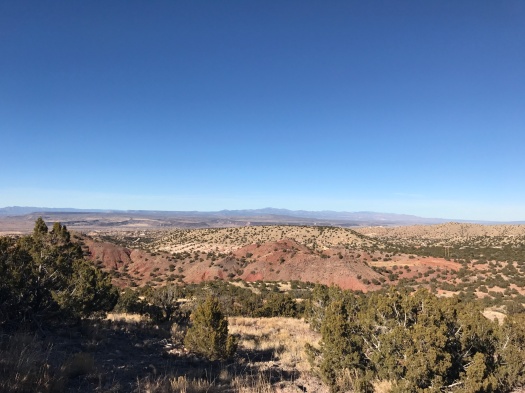
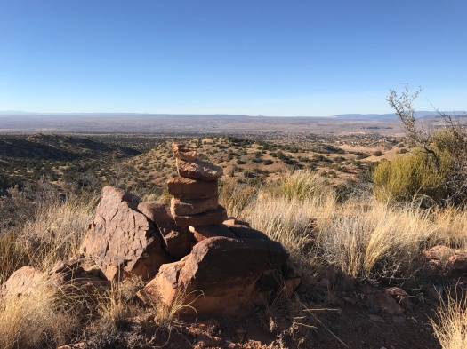
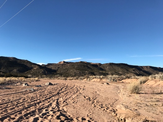
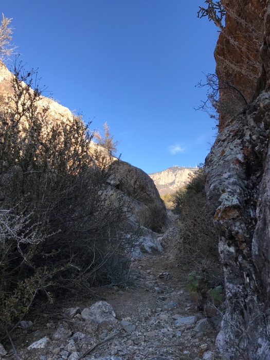
As we climbed, Cabezon Peak quickly came into view on the horizon, then White Mesa, the Jemez Mountains, the Sangre de Cristo Mountains, Mount Taylor and the green mesa tops on Santa Ana Pueblo.
We reached a clearing where the trail led deeper into the evergreen-dotted hills.
A bird of prey swooped over a canyon, wings fully extended, intricate patterns on display. We watched it until it flew behind a ridge. My husband pulled out the binoculars and waited for it to reappear, but it never did.
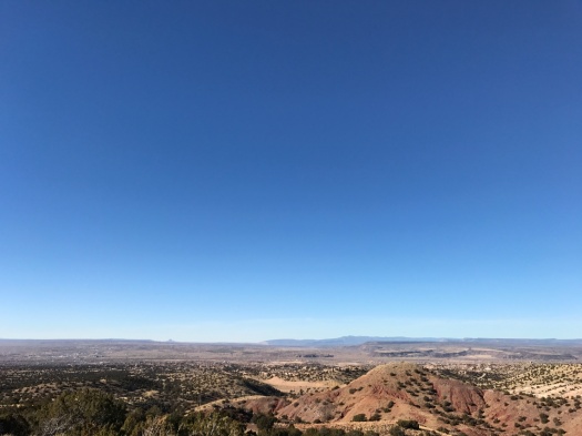
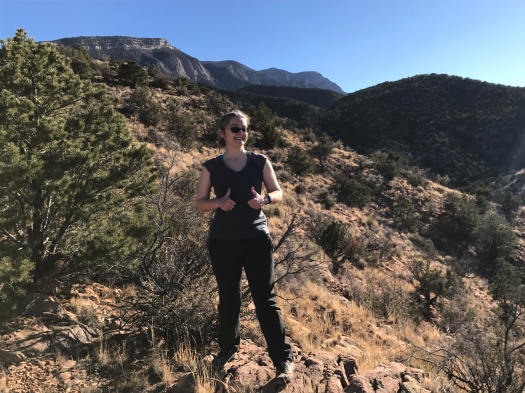
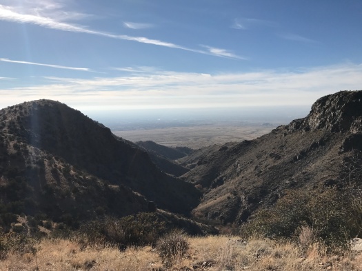
We climbed higher, nearing 7,000 feet, the wind picking up and growing cooler. Still, the sun kept me comfortable.
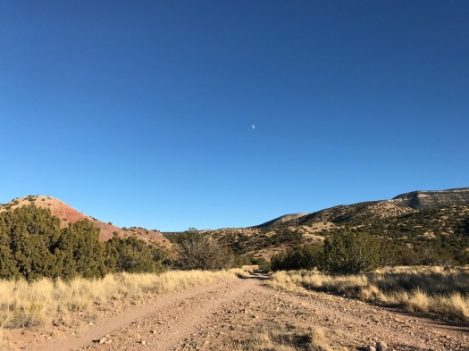
On our way back, we explored part of a side trail, trying to figure out how all the pieces of the trail network fit together.
This hike was an unexpected gift, a Thursday afternoon in the last week of the year alight with sun and wind, coolness and warmth, blue and green and red and purple.
The real gift – the blanket of snow that will keep the cycle going – has yet to arrive.
Hike length: 4.5 miles
Difficulty: moderate
Trail traffic: moderate
Wildlife spotted: bluejays, mystery hawk or falcon, crows
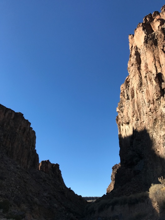
There is no lengthy climb to a dramatic viewpoint in Diablo Canyon, no delayed gratification. You’re face-to-face with some of the most eyeball-stretching sights nature has to offer the second you get out of the car.
Columnar basalt towers hundreds of feet into the sky on both sides of a narrow canyon. I tilted my head back as far as it could go, seeking the best possible view of the formations. (Luckily, the canyon is basically flat, an excellent attribute in a place where a hiker will be focused on what’s above her instead of what’s under her feet.)
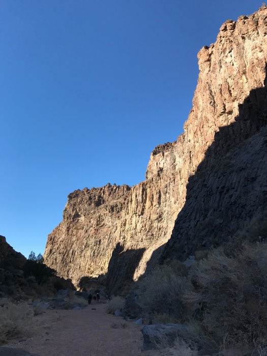
There were no bandits on Christmas Day, but as we examined the walls around us, we spotted climbers scaling the rock. Several were still going when we left the canyon two and a half hours later.
When we finally managed to take our eyes off what was above us and focus on what was in front of us, we realized we were hiking among some of the biggest, smoothest basalt boulders we’d ever seen.
Alternate headline for this post: Basalt with a Deadly Pepa.
A natural spring trickled through the sandy canyon bottom, ending in a patch of ice.
It was the only piece of ice or snow we encountered in two days in Santa Fe at the end of December.
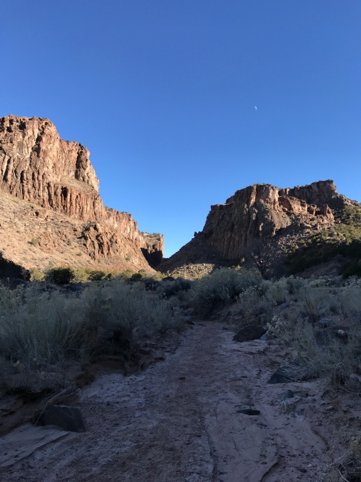
Even in a snowy year, this would be a killer winter hike. Once you’re through the throat of the canyon, it widens, becoming a massive arroyo that leads you toward the Rio Grande. The sun pours onto that arroyo at midday.
The ecosystem of the canyon creates 20-degree temperature differentials. As we came out the neck of the canyon, a wave of warmth washed over us. It was coming from a rock and sand wall that had been soaking up sun all day. And while the flat arroyo was in full sun, when we came back through the narrow canyon at 4 pm, all but the tops of the walls were in shadow, and it felt more like 40 degrees than the high-50s air temperature.
Though it was flat, hiking a sandy arroyo is always more work than it looks like. We turned around about two and a half miles in, knowing daylight and warmth were growing short. Later, we realized we’d only been about half a mile from the river.
The steady flow of families and groups of friends we’d seen as we started our hike slowed to a trickle. The falling sun cast a shrinking slice of light on the top of the canyon walls, shading them deep red.
By the time we returned through the chilly canyon, our only companions were a few climbers and a black-capped chickadee drinking from the spring.
Getting there: The price you pay for enjoying a free visit to this fabulous public land just outside Santa Fe: You have to drive on Old Buckman Road. We have been on a lot of rough unpaved roads in search of remote hiking spots. This is the worst road I have ever driven on – not the most dangerous, but the most uncomfortable. “Washboarded” is an understatement. When we drove to the end of this road in my husband’s little truck to hike along the Rio Grande, my Fitbit measured my time rattling around the cab as an “outdoor bike ride.” Beg or borrow the biggest, most heavy-duty vehicle you can. We borrowed my father-in-law’s Toyota Tacoma this time and it made a world of difference.
The forest road we finished our hike on yesterday was probably the most dangerous thing we traversed. It was narrow Forest Road 333, with trucks coasting up and down from higher trails in the Sandias, no shoulder or room to get over. Luckily, we were only on it for a few hundred feet.
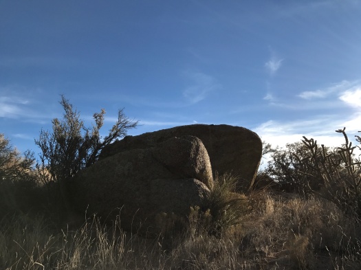
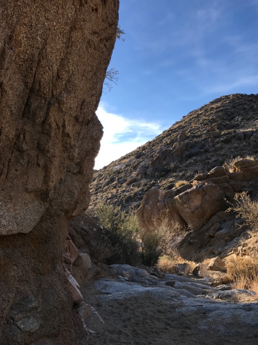
We’d come off the Boundary Loop Trail in the foothills north of Sandia Casino. Completing our loop, we stumbled into the wrong canyon. It was fabulous, with swirling humps of stone like those we’d encountered on last week’s hike. Luckily, this time the stone was stepped, with some purchase for feet.
We were confident we could find our way back down this canyon. But then we came to a barbed-wire fence. Rather than trespass on Sandia Pueblo land, we backtracked up the canyon.
We’d made the right turn when it counted earlier. From the highest point of the hike, we picked the correct fork of four to lead us down a dirt trail to the arroyo we’d entered when we began.
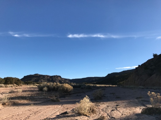
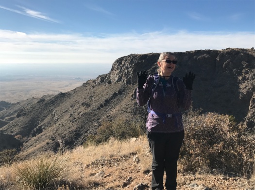
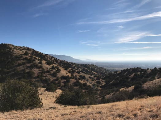
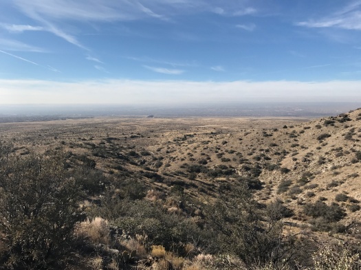
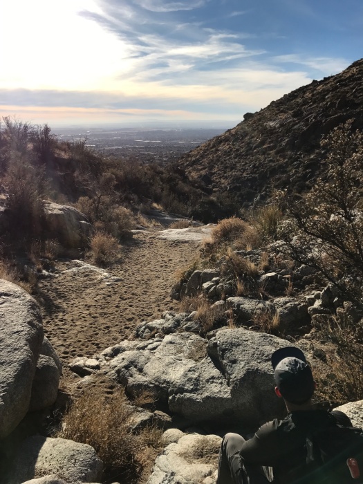
Before that, we chilled out for a while atop a ridge. Juan Tabo Canyon yawned before us, a mesa’s flat top on the other side.
Haze filled the valley below; we could barely see the Albuquerque skyline. But up here, the sky was blue and clear, the warm sun offset by the cool wind.
The first arroyo we navigated corkscrewed through high-desert hills. Jays squawked and wrens called as we passed. The sand kept our pace to a steady beat.
A quick, steep climb from the road to a ridge had brought us into quiet Jaral Canyon. A steep trail perched on the edge of the canyon wall led us into the arroyo.
This hike feels different than any other I’ve done in the Sandias. The terrain is less mountainous than classic high desert, not unlike Cerrillos Hills.
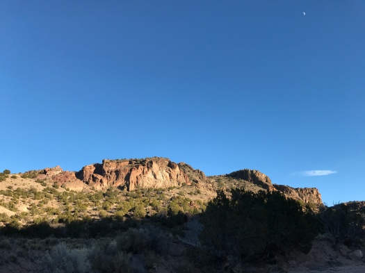
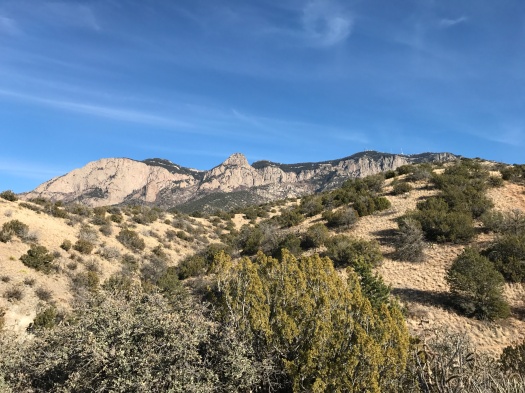
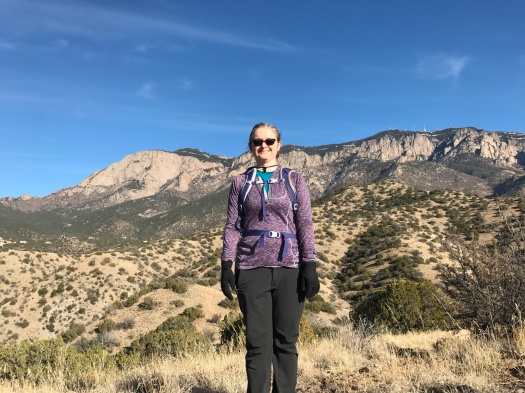
And the deep, wide canyons tucked into the hills take you by surprise. Yet the Sandias’ famous Shield, Prow and Needle formations frequently appear beyond ridges.
There is the familiar stacked form of the casino as you top the first ridge.
Some of the best hiking on the west face of the Sandias can be found in Embudo and Embudito Canyon.
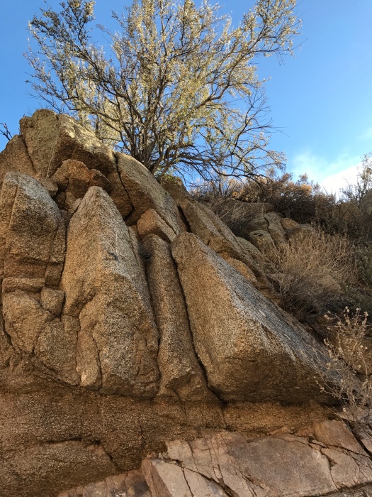
Both involve climbing lots of slick Sandia granite, making your way from one rock to another.
I usually need a boost or a hand, but I’ve tackled some of the most challenging parts of those trails (and Waterfall Canyon, too, where the rock is not only slick in nature, it’s frequently wet.)
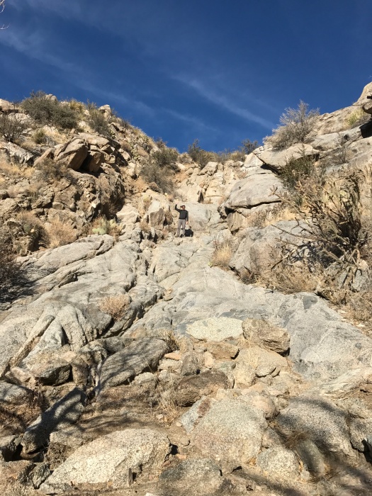
But today, in a canyon that looked deceptively similar, I met an obstacle I wasn’t ready to field: slick Sandia stone stretching upward at a 45-degree angle.
We were on the Whitewash Trail, an undesignated trail leading to a ridge. We’d climbed familiar terrain to get there, but the sand and stepped rock came to an end, and only smooth stone remained.
We could see our destination ridge silhouetted against the blue sky, so close. We began heading up, my husband leading the way and pulling me up the hill. It was working. But he wouldn’t be able to give me the same kind of assist down the steep, slippery incline, and I didn’t know how I would make it down.
After a short distance, I gave up and slid back down on my butt. It was surprisingly easy, but not a feasible means of getting all the way back down from the ridge.
I sat on a rock while my husband climbed to the ridge. He’s much more comfortable on boulders and steep slopes than I am, but he slipped and gashed his hand on the way down. While we doctored his wound from the first aid kit, he told me about the meadow he’d seen on the ridge. I wanted to see it and I’d been thinking of trying again, but when the descent tripped even him up, I reluctantly accepted that I wouldn’t see the meadow today.
The path back down the steep, stepped rocks seemed easy by comparison. We explored boulders and game paths on the way down and took side trails.
As we exited the canyon, we could see clouds surrounding the arrowhead ridge of the Sierra Ladrones 70 miles away. It appeared to be levitating.
We could even see the cloud-wreathed Magdalena Mountains south of the Ladrones, a rare sight that had me questioning my geographic awareness.
What goes up generally must come down. But if one had the stamina and daylight for a 9.5-mile hike, one could go up the Whitewash, then return via much easier Embudo Canyon.
Stay tuned.
Hike length: 3 miles
Difficulty: difficult
Trail traffic: lots in the foothills, none in the canyon
Wildlife spotted: butterfly, chickadees, one really irritated jay