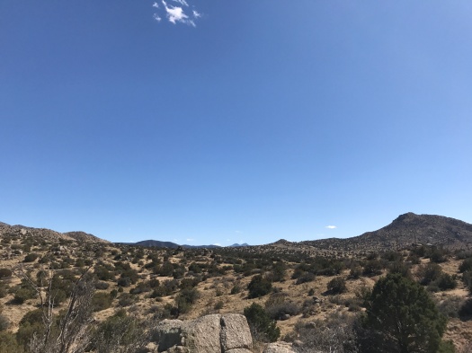
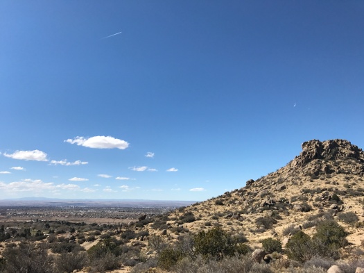
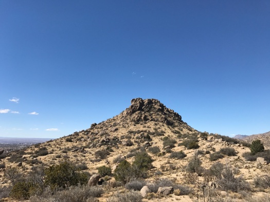
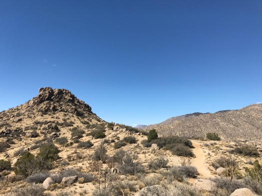
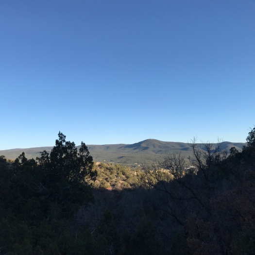
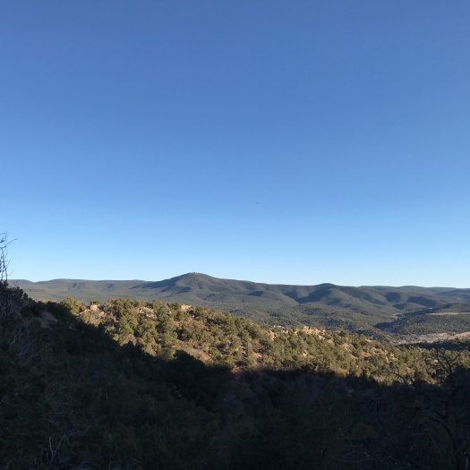
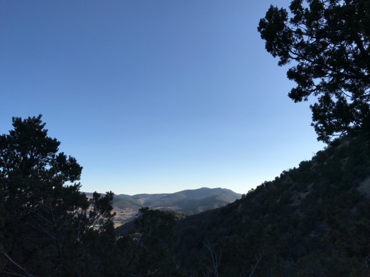
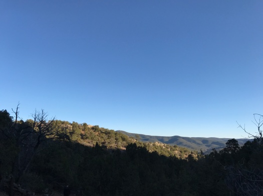
20 miles outside ABQ, there’s a land you could roam all day

Before today, every hike I’d done in Placitas was a destination: I went out there to hike Las Huertas Creek, or Piedra Lisa Trail, or the Strip Mine Trail, or Tunnel Spring.

Today we learned Placitas could just be a journey.

We started at the main Placitas-area trailhead two and a half miles east of I-25. We worked our way south on a couple of mountain bike trails. (How you know you’re on a mountain bike trail: 1) you frequently have to jump out of the way of mountain bikers; 2) there are tons of banked corkscrew turns.)
IMG_0045
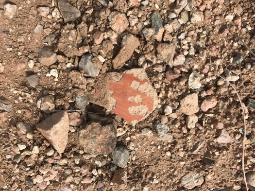
First potsherd I’ve ever seen on a hike.
IMG_0083
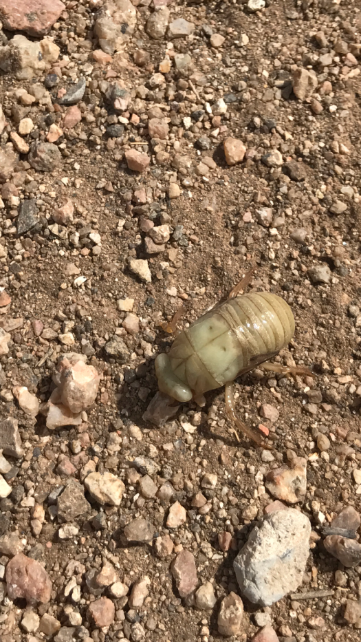
Can anyone confirm or deny that this is a cicada larva?

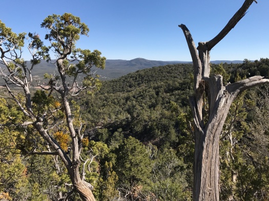
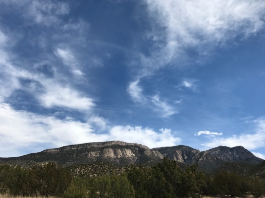
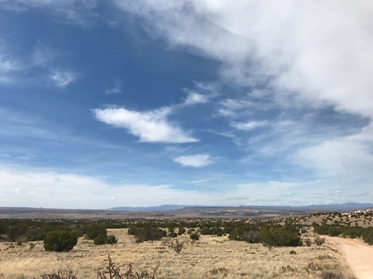
A blanket of clouds covered much of the Rio Grande Valley, muting the colors of the mesas and mountains. But as we gradually climbed up and east, the sky above the Sandia Mountains began to clear to a brilliant blue.

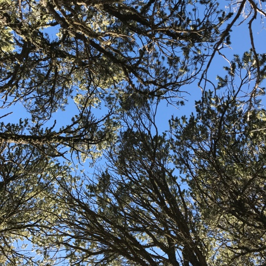
The trail we were on dead-ended at a Forest Service road, and that’s when the possibilities for just wandering began to multiply. First we realized we could use the Forest Service road to make a loop back to the trailhead. I scrambled up a steep side trail just to get closer to the brilliant sky.
IMG_0057

IMG_0061

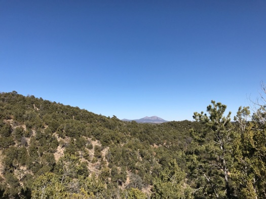
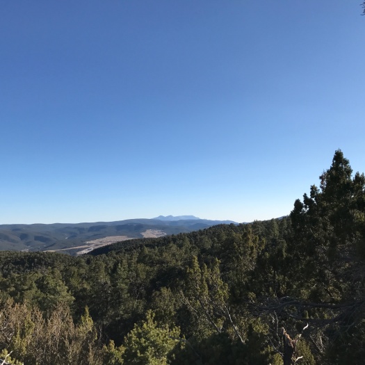
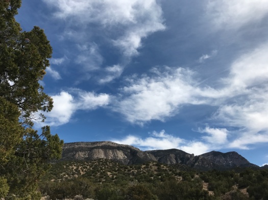
As we headed back, the cloud cover did a 180. The green tops of the mesas on Santa Ana Pueblo began to glow, while behind us, the mountains dimmed as the clouds blocked their light. We could see all the way to St. Peter’s Dome in the Dome Wilderness, 30 air miles away.
IMG_0072

IMG_0076
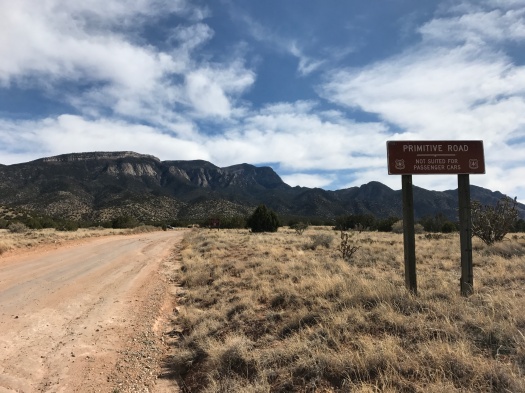
Though we saw some passenger cars parked on this road, the sign is accurate.

I eyeballed the many side trails leading into the Sandia wilderness on our way back. Using the full Placitas and Sandias trail networks, plus the entire forest road, someone on foot could ramble for an entire day.

One of these days, someone on foot will.

Hike length: 5 miles

Difficulty: moderate

Trail traffic: moderate

Wildlife spotted: chickadees, cicada larva (?)
IMG_0082
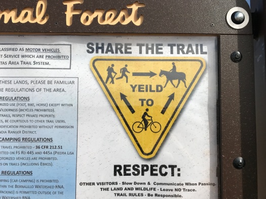
National forest typo. Everyone needs an editor.

You can get your hiking kicks right on the side of Route 66

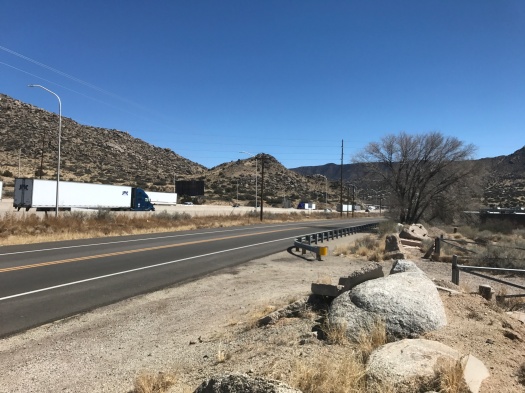
We peered into the little-known open space we’d chosen sight unseen to hike today. A wash of gravel and concrete stared back at us. Semi trucks roared by on Interstate 40 just a few hundred feet away.

IMG_0003

I was having second thoughts, but here we were, so off we went.

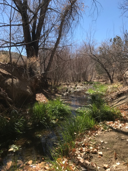
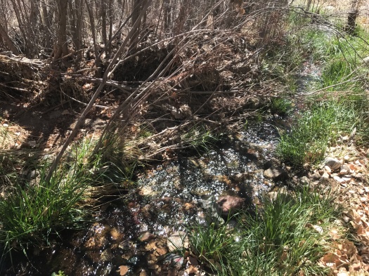
Twenty minutes later, we were crossing a swiftly flowing stream in the shade of cottonwoods.

IMG_0006IMG_0009

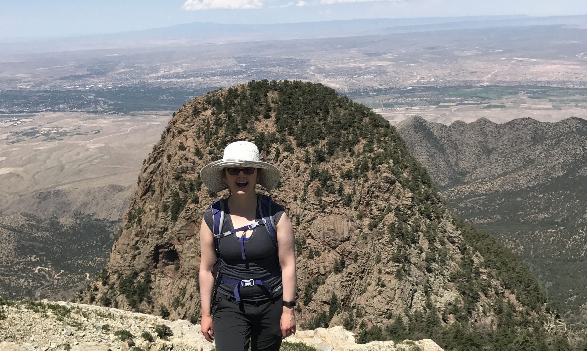
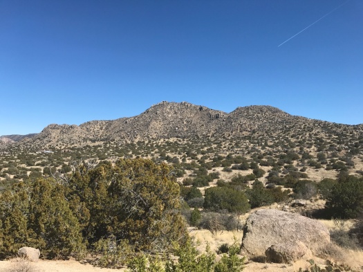
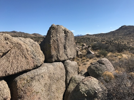
Just over an hour after that, we were standing atop a ridge at the base of a towering granite hill.

I could have wandered there all day.

Route 66 Open Space belongs to the City of Albuquerque. I could find no maps of its trail system.

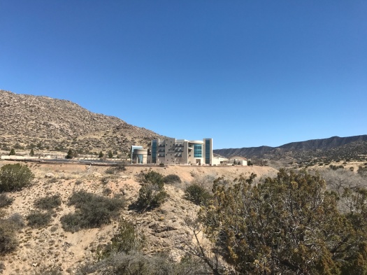
From its concrete-and-gravel beginning, you clamber down a steep and rocky path to what qualifies as a sizable New Mexican stream. As you leave the creek bed and enter the foothills, the American Society of Radiologic Technologists headquarters comes into view above you.

IMG_0004

I toured the building when it opened years ago. It has stunning views, but the ones in the open space are even better.

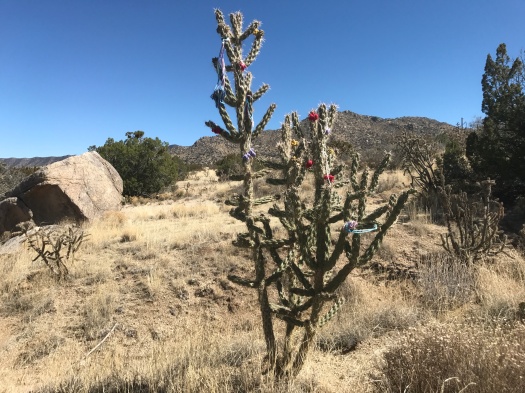
We corkscrewed up steep paths that appeared to be leading us right up the giant granite pile. On one of those paths, we encountered an array of fluttering birds and a tent tucked into a tree. It looked like someone’s illegal living quarters.

We skedaddled, taking a sunny doubletrack that wrapped around the foot of the granite hill, then climbed what seemed to be a neverending ridge.

IMG_0018

“I’ll stop up there,” I said repeatedly, and more ridge would come into view above us.

IMG_0021IMG_0023

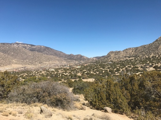
We pushed up one long, steep incline that truly did look like it ended in the sky. Atop it, we could see the foothills stretching to the next ridge, the Manzanos’ Guadalupe and Mosca Peaks in the distance, and the plains rolling away to the west. An oasis of stick-like trees clustered in the foreground; my husband guessed it was the UNM golf course.

IMG_0027IMG_0034IMG_0035IMG_0036IMG_0041

We explored the back side of the granite pile’s base, peering into the south side of Tijeras Canyon from what appeared to be a giant throne of boulders.

It had felt like it took a long time to climb up, but coming back down went quickly.

As we crossed the little creek and clambered up the rock path, I looked behind me. Clouds cast a dramatic shadow over the granite hill. I grabbed my phone, but my storage was full and I couldn’t take a picture. I’ll just have to remember it.

It’s a memorable place, and there’s plenty more to see. Seemingly dozens more paths sprout through the foothills to the east and south.

Though you start out on the side of a highway, you end up in a fascinating landscape, and you have it mostly to yourself.

Hike length: 4.5 miles

Difficulty: moderate

Trail traffic: low

Wildlife spotted: flicker, jays, rabbits, butterflies, velvet ants


Sometimes, you have to go to where it all begins. In Albuquerque, this is that spot.

Everything has to start somewhere.

The South Crest Trail, the hiking spine of the Sandia Mountains, starts at the Canyon Estates trailhead in Tijeras. The North Crest Trail ends at Tunnel Spring in Placitas 26 miles north.

I’ve hiked both the northern and southern extremes of the trail, and covered some ground in the middle, too.

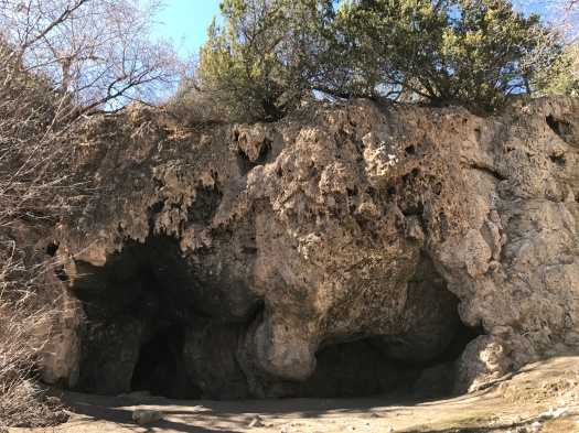
Starting at the trailhead of the South Crest Trail on a weekend, your first landmark is a travertine cave with a tiny natural spring spilling over it.

IMG_9897

On a beautiful day like today, it’s overrun with families trying to corral their kids.

You sure are prepared,” said a little boy, looking at my hiking poles.

“I’m going to try to go a long way,” I told him.

Then the Crest Trail climb begins, and the big groups with kids fall away.

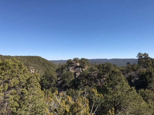
The trail switchbacks up from Hondo Canyon, yielding views of the surrounding foothills and San Pedro Mountain. The sun beams down on the lower part of the trail, but cool shade spells it the higher you climb. On a day like today, with a southwest wind gusting to 40 miles an hour below, the mountain shields you from the wind’s worst.

IMG_9904IMG_9909IMG_9911IMG_9917

The first time I hiked these switchbacks, they were covered with ice. That climb was glacial. The 1,000-foot elevation gain was plenty challenging enough today in the sun. It’s the classic climb where blue sky peeks through and you’re sure you’re almost there; then, that experience repeats itself over and over as you huff and puff.

At the top at last, we quickly found a group of rocks to rest on, sun warming our backs.

IMG_9963

When we stepped onto the shaded Upper Faulty Trail, the afternoon had changed. The sun had fallen enough that we were chasing it instead of seeking respite from it.

Upper Faulty and Faulty Trails flirt with views for the length of this beautiful loop, teasing us with glimpses of the Ortiz, San Pedro and Manzano mountains. While Upper Faulty rolls gently, Faulty plunges, sending feet scrabbling on loose rock.

IMG_9965IMG_9975IMG_9978IMG_9982IMG_9985

We arrived back at the Crest Trail, and the cave, in the late afternoon. There wasn’t a soul there.

We finished the last mile of the trail where it all begins in quiet, setting sun rippling over the foothills.

Hike length: 5.7 miles

Difficulty: moderate

Trail traffic: moderate

Wildlife spotted: mountain bluebird, butterflies, nuthatch