

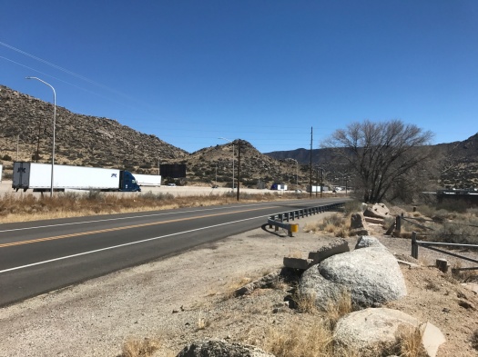
We peered into the little-known open space we’d chosen sight unseen to hike today. A wash of gravel and concrete stared back at us. Semi trucks roared by on Interstate 40 just a few hundred feet away.
I was having second thoughts, but here we were, so off we went.
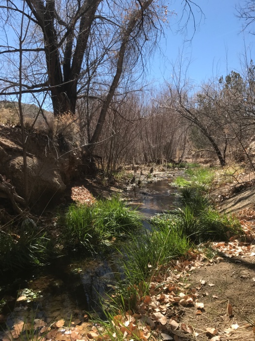
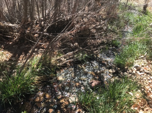
Twenty minutes later, we were crossing a swiftly flowing stream in the shade of cottonwoods.
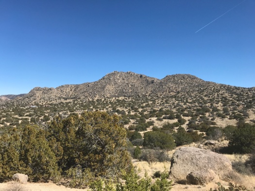
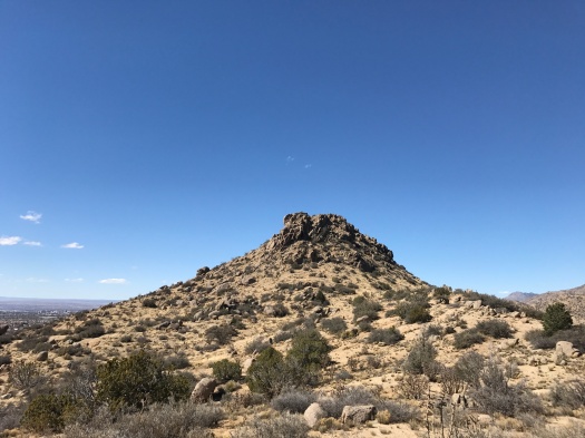
Just over an hour after that, we were standing atop a ridge at the base of a towering granite hill.
I could have wandered there all day.
Route 66 Open Space belongs to the City of Albuquerque. I could find no maps of its trail system.
From its concrete-and-gravel beginning, you clamber down a steep and rocky path to what qualifies as a sizable New Mexican stream. As you leave the creek bed and enter the foothills, the American Society of Radiologic Technologists headquarters comes into view above you.
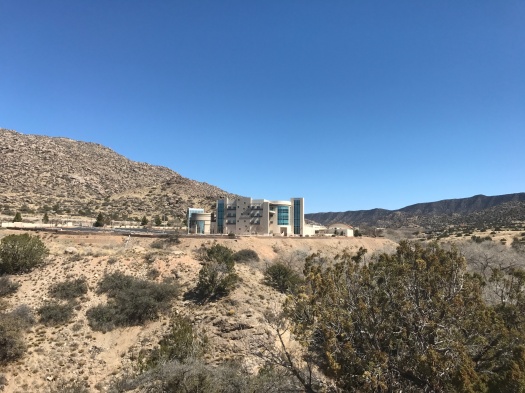
I toured the building when it opened years ago. It has stunning views, but the ones in the open space are even better.
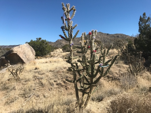
We corkscrewed up steep paths that appeared to be leading us right up the giant granite pile. On one of those paths, we encountered an array of fluttering birds and a tent tucked into a tree. It looked like someone’s illegal living quarters.
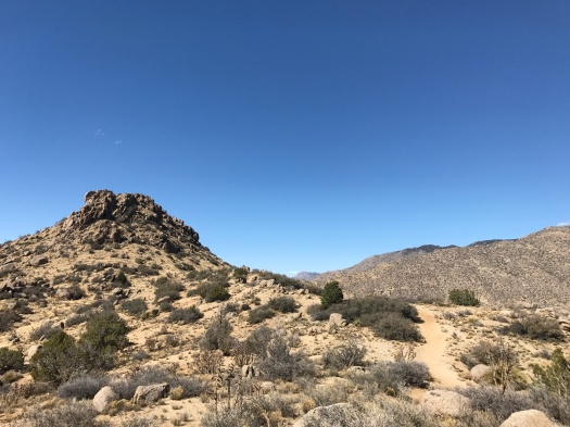
We skedaddled, taking a sunny doubletrack that wrapped around the foot of the granite hill, then climbed what seemed to be a neverending ridge.
“I’ll stop up there,” I said repeatedly, and more ridge would come into view above us.
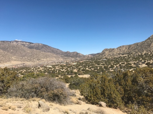
We pushed up one long, steep incline that truly did look like it ended in the sky. Atop it, we could see the foothills stretching to the next ridge, the Manzanos’ Guadalupe and Mosca Peaks in the distance, and the plains rolling away to the west. An oasis of stick-like trees clustered in the foreground; my husband guessed it was the UNM golf course.
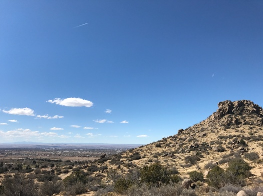
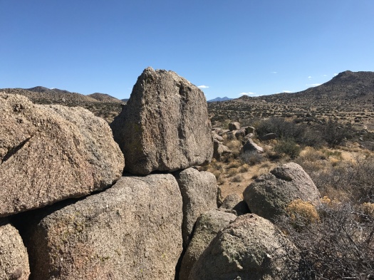
We explored the back side of the granite pile’s base, peering into the south side of Tijeras Canyon from what appeared to be a giant throne of boulders.
It had felt like it took a long time to climb up, but coming back down went quickly.
As we crossed the little creek and clambered up the rock path, I looked behind me. Clouds cast a dramatic shadow over the granite hill. I grabbed my phone, but my storage was full and I couldn’t take a picture. I’ll just have to remember it.
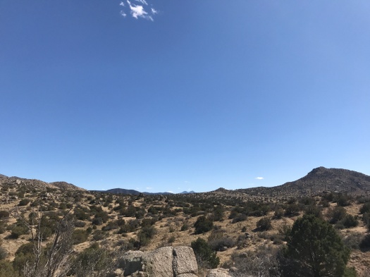
It’s a memorable place, and there’s plenty more to see. Seemingly dozens more paths sprout through the foothills to the east and south.
Though you start out on the side of a highway, you end up in a fascinating landscape, and you have it mostly to yourself.
Hike length: 4.5 miles
Difficulty: moderate
Trail traffic: low
Wildlife spotted: flicker, jays, rabbits, butterflies, velvet ants

3 Replies to “You can get your hiking kicks right on the side of Route 66”