

Getting down that is going to suck.
I’d just scrambled up one level on the side of a cliff with the assistance of my husband and some rocks. I’d scrambled up worse, but never with such a steep dropoff on one side. I knew I could get back down it, but I also knew doing so would trigger my fear of heights.
Once I was up, looking down wasn’t easy, but it was productive.
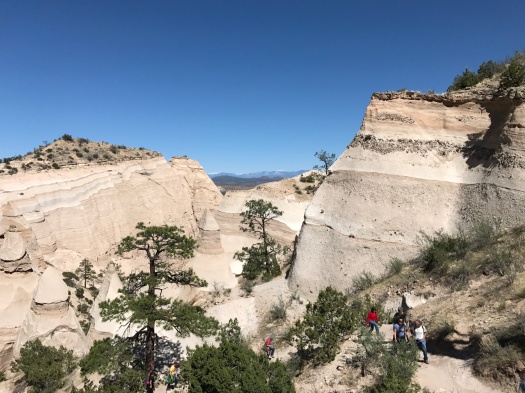
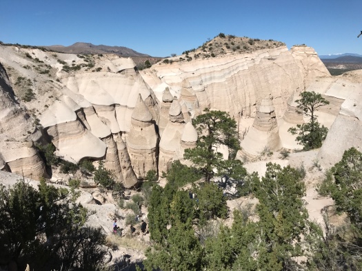
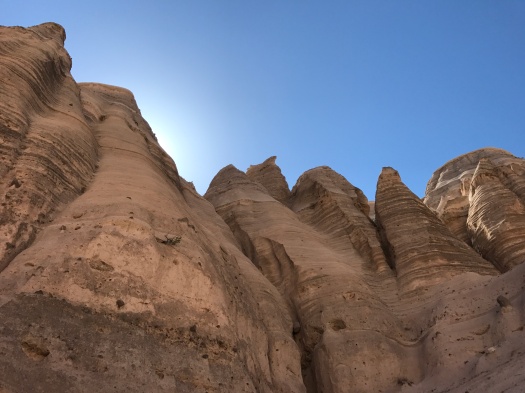
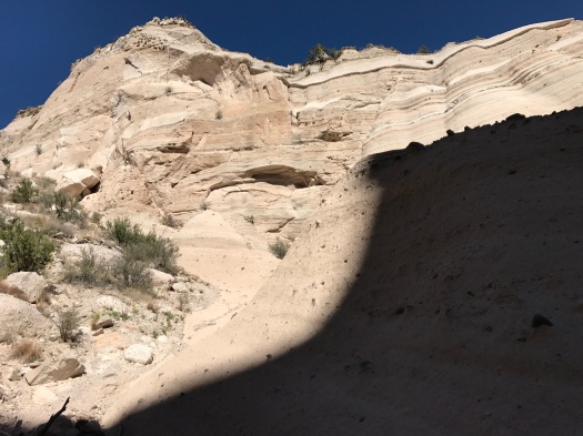
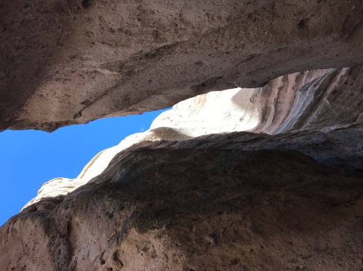
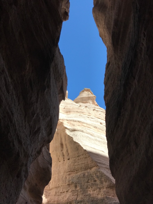
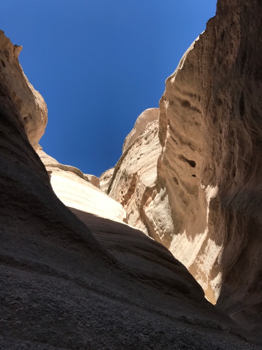
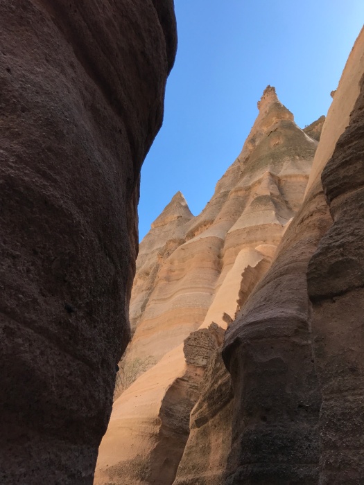
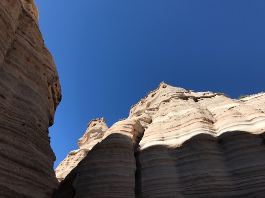
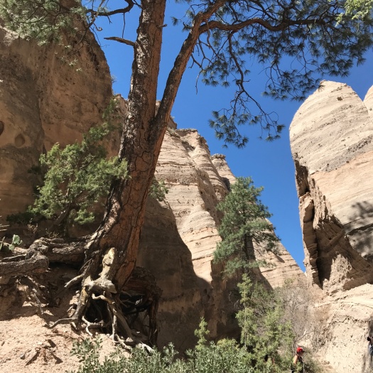
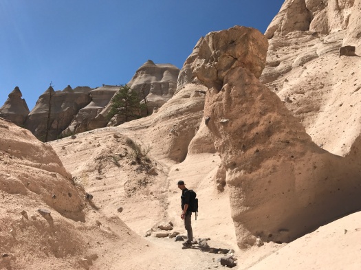
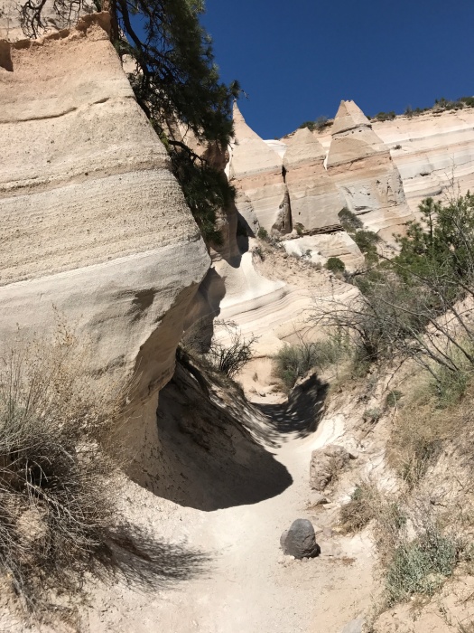
I was staring down at 90-foot-tall hoodoos sprinkled with ponderosa pines. We’d traveled through a 1,000-foot-long slot canyon before we began the climb.
My legs were rubbery, but as the trail switchbacked further up, the snowcapped Sangre de Cristo Mountains came into view behind the hoodoo field.
And at the top, I could see into the Jemez Mountains, the Dome Wilderness, Tetilla Peak and back to the Sandias, too.
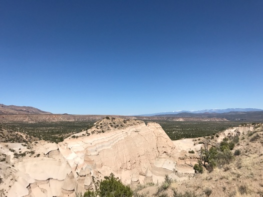
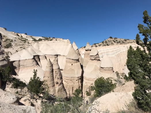
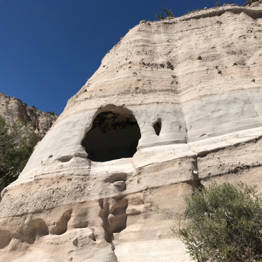
I was standing at the highest point of Tent Rocks National Monument (Kasha-Katuwe in the Keresan language, and a place of great significance to the people of Cochiti Pueblo). We have a six-million-year-old volcanic eruption in the Jemez to thank for the existence of the hoodoos, formed of soft volcanic tuff that’s eroded over millennia.
On a clear and brilliant blue day, Tent Rocks also provided a spectacle we rarely see while hiking in New Mexico: crowds. It’s one of the most-photographed destinations in the state, and over 130,000 people visit every year. On summer days, you might have to wait up to 90 minutes until a parking space opens up. We had no wait to get in, but at one point, we waited as a group of seven people squeezed through a particularly tight spot in the slot canyon one at a time.
Given how popular this hike is with tourists, I was surprised by how challenging it is in spots. The slot canyon and the path through the hoodoos rise gradually, but the trail up the cliff rises 200 feet in 0.3 mile.
Oh yeah, scrambling down that cliff. I tried to back down; I thought it would be physically easier, but I could not make myself do it. We regrouped and let some less acrophobic people by. When I saw one go down facing forward, I did the same, finding enough footholds and handholds to land solidly.
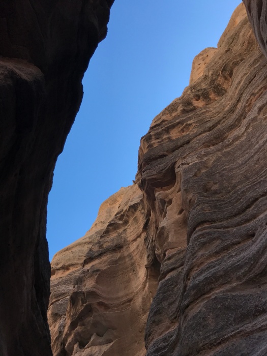
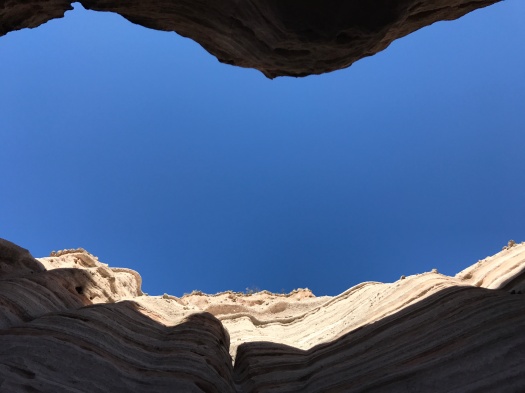
From there, a passage back down and through the slot canyon, all cool rock, light, shadow and sky.


Hike length: 4 miles (including the Cave Loop)
Difficulty: moderate
Trail traffic: busy
Wildlife spotted: bluejay, white-throated swift, crow, bald eagle?!? (sitting on a power line above the Rio Grande just outside the monument boundary)
Thanks: I’m grateful to the people of Cochiti Pueblo for allowing the public to use its land to access this amazing place.
Want more hoodoos? I got more hoodoos.
*Note: The Veterans’ Memorial Overlook loop, which we’d also hoped to hike today, is closed until Tent Rocks can hire another ranger to patrol it. There were only two working the busy park today.
