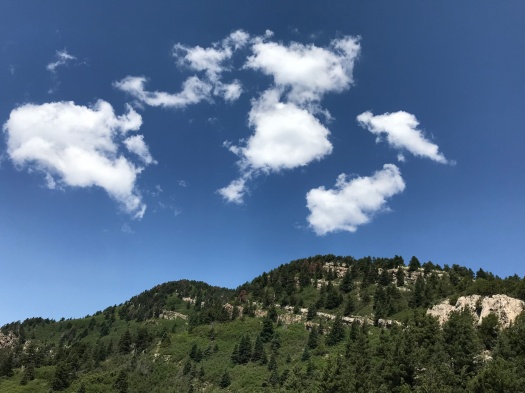
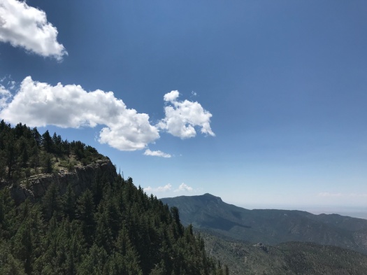
Go to the top of Piedra Lisa Trail. Turn right. Commence scramble.

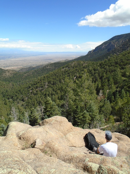
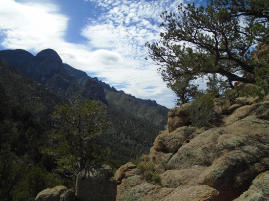
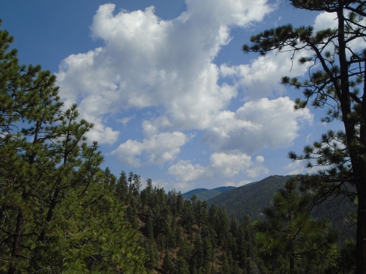
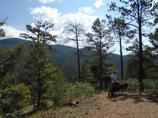
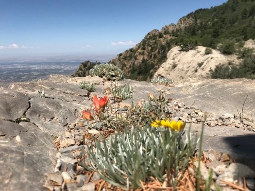
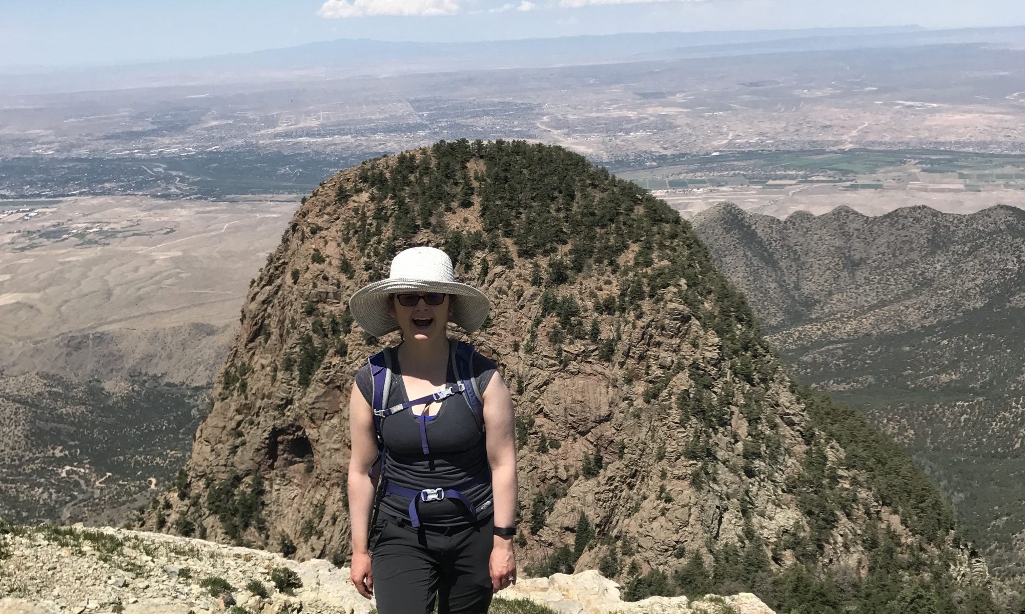
I stopped on Rincon Ridge to eat my sandwich. But the real feast was in front of me.

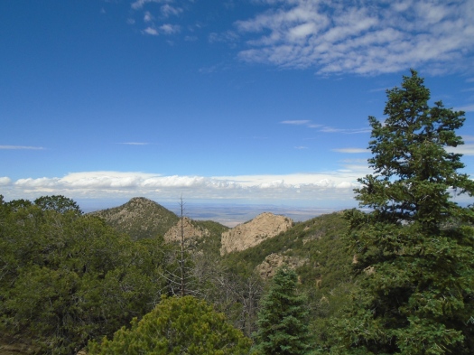
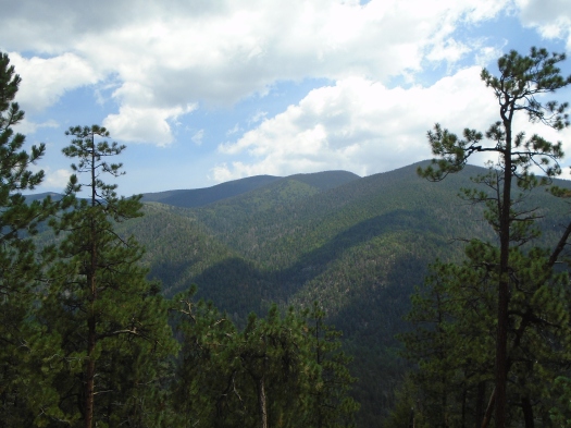
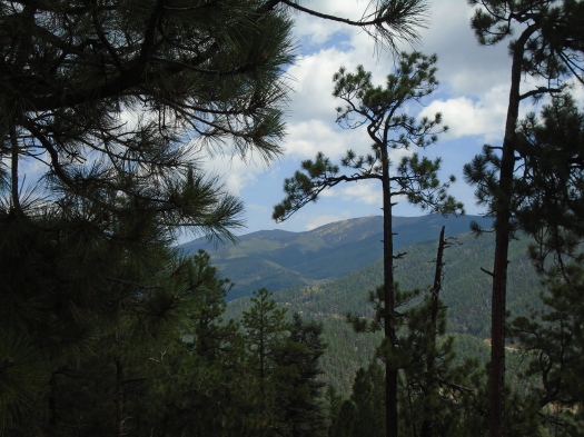
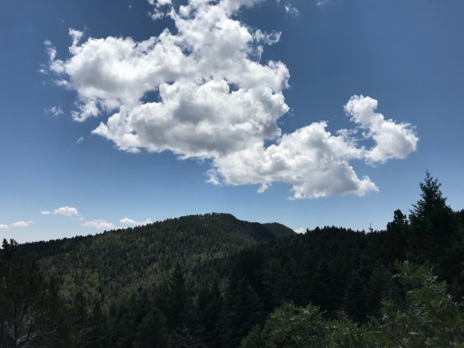
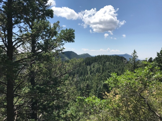
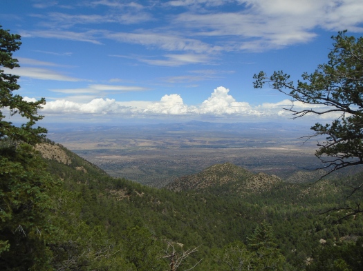
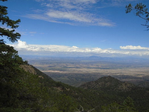
I could see deep into the Jemez, all the way to Redondo Peak. Between me and it, the Jemez’s drainages cut deep clefts through the Santa Ana Pueblo, the tops of its mesas glowing green.

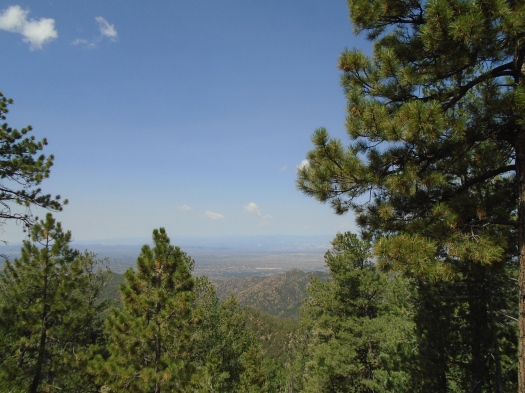
A glimmer of the Rio Grande on Santa Ana came into view as clouds, then sun, then clouds bathed the valley.
DSC00188

DSC00180

DSC00189

DSC00145

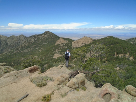
A couple of steps to my left, and the volcanic neck of Cabezon Peak came into view.
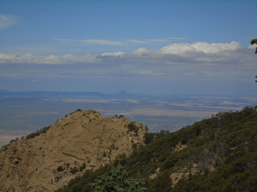
DSC00152

Over my right shoulder, the Knife Edge of the Shield, one of the Sandias’ most famous rock formations. And, yes, the Needle – the rock dome I’d become smitten with at the top of the mountain earlier this summer.
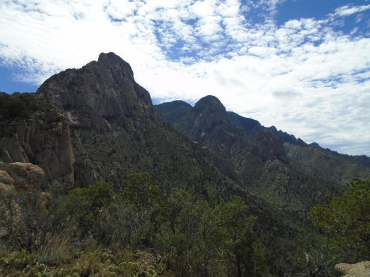
DSC00159

We watched a raptor soar impossibly high above, so high we couldn’t be sure what we were looking at even with binoculars, but guessed a red-tailed hawk or golden eagle.

We’d reached this spot with a 1,500-foot climb up Piedra Lisa Trail, one of the most popular in the Sandias. But we’d had the ridge to ourselves since another pair of lunchers left half an hour earlier.

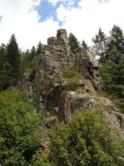
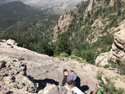
A short, faint trail and a little scrambling had brought us here. I warily eyed the steep, trailless slope between us and the highest rocks on the ridge. A brief stalemate ensued in which I repeated that I knew I could get up, but I didn’t know how I would get down. But ultimately I couldn’t resist checking out the top, and I did, after all, know how I could get down (I’ll scoot down a short slope on my butt if I think it’s too steep for me to stay upright on.) The green slopes of Juan Tabo Canyon came into view.
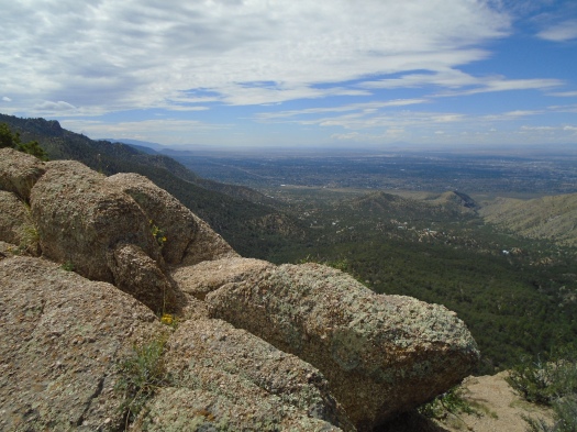
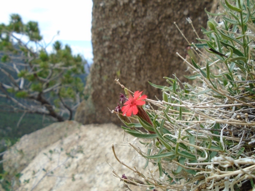
DSC00169

DSC00174

DSC00166

DSC00154

DSC00143

My husband found us a more challenging but less steep way down, and within minutes, we were back at the busy Piedra Lisa juncture.

When we last hiked Piedra Lisa, two years ago, we skipped this ridge. We were doing the whole six-mile trail with a car at each end, and I didn’t think I had the leg power for a side trip. I was probably right; the back side of the mountain is even steeper than the front, and I slipped and gashed my leg on the way down.

But I missed the best part.

Hike length: 6 miles

Difficulty: moderate

Traffic: popular on Piedra Lisa, light on Rincon Spur

Wildlife spotted: dragonflies, butterflies, lizard, blue jays, black-capped chickadee, raptor, swifts
Hyde Park’s ridges look so gentle, but its switchbacks don’t feel that way

This is torture. With really great scenery.

I was navigating a mile-plus of extremely steep switchbacks up West Circle Trail in Hyde Memorial State Park.

There are strategically placed benches at a quarter-mile up the trail and a quarter-mile from the top. I took advantage of both, plus a rest on the ground.

As I pushed and pulled myself up the trail, yellow and purple wildflowers flashed by. Rolling green ridges stretched above and below. Glimpses of Santa Fe and the Rio Grande Valley began to appear.

My husband spotted nine horny toads. One was the big-fellow-in-shades-of-gray type we’ve seen so often around Albuquerque. The rest were thumb-sized, rust-red, barely distinguishable from the mica-flecked rocks around them.

The switchbacks mellowed slightly as we got closer to the top. A sign marked the 9,440-foot high point of the trail. A little further, two picnic tables and a jaw-dropping view into the Jemez Mountains, complete with its drainage network of ridges and canyons. We could see the Santa Fe Opera, Los Alamos and the brown snake of the Rio Grande. A raven ripped through the air just above us, cawing, wind whistling through its talons.

DSC00115DSC00102

DSC00093
White structure at center of photo is the Santa Fe Opera.

DSC00089DSC00087

My husband broke out the binoculars, sure he’d be able to spot his parents’ house, but a ridge blocked the view.

The steep descent took us past two yurts, a recent camping upgrade at Hyde Park.

We headed for a spur trail to a waterfall, hoping to catch it flowing, but red caution tape blocked the trailhead.

So we watched a Stellar’s jay and wound past campsites and over the world’s smallest creek.

The circle was complete.

Hike length: 4 miles

Difficulty: moderate

Trail traffic: light on West Circle Trail, moderate on rest of loop

Wildlife spotted: horny toad bonanza, Stellar’s jay, ravens

TIP FOR CAMPERS! Whether you get on the yurt train or not, Hyde Park has the prettiest, most well-kept campsites I’ve ever seen.

Red Canyon is purple on a rainy day. Or is it pink?

It’s raining on us.

It’s been two years since we got rained on during a hike, and that one wasn’t even in New Mexico. This is momentous.

It’s a light, steady rain, stirring the smells of fir and pine from the forest floor.

And it pisses me off.

Where the hell is Red Canyon, anyway? It’s been at least a mile since the junction and everything looks just like it did before.

And no overlook on the last part of the Crest Trail? After climbing 2000 feet, I want a damn 50-mile view.

I want to cry. I want to chuck my hiking poles into the canyon below us.

It’s not about the hike, of course. It’s this godforsaken year that just keeps knocking me on my ass and there’s nowhere to hide from your feelings in the damn Manzanos and –

Suddenly the rock under my feet, soaring above me is purple. Or is it pink?

I had remembered this stretch of the Manzanos as one of the most beautiful places I’d ever hiked. But I didn’t know why it was called Red Canyon. I remembered the grottolike stone as a deep, rich gray, and my old photos back me up.

But the sun peeking in and out from layers of clouds, the moisture in the air, show the rock’s true colors – for the moment, at least.

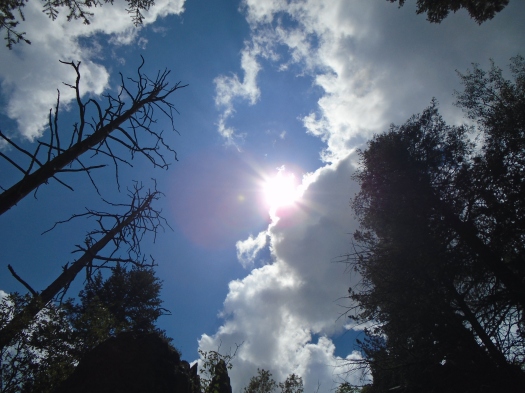
The scale of the rock towering above can’t be conveyed. I even brought a real camera, albeit small. I lie down, cool stone under me, and aim skyward. What I capture looks tiny.

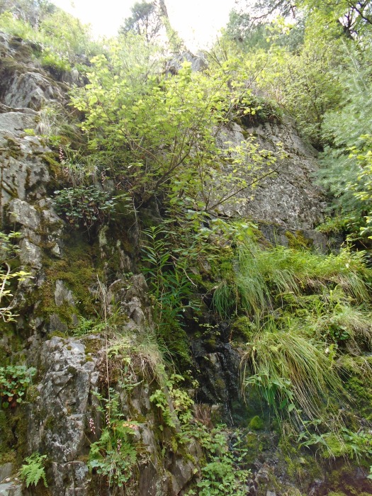
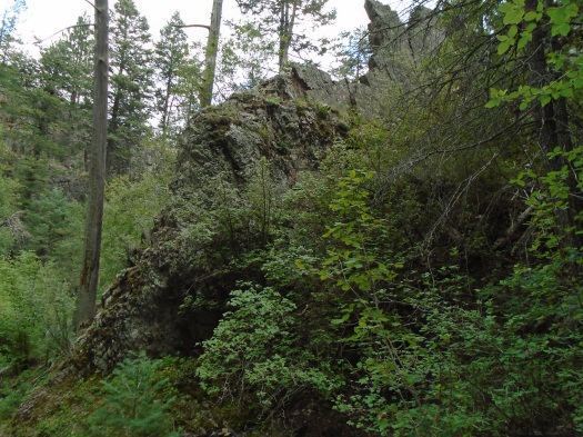
We slowly make our way down the trail, a steep chute of pink rock. A cornucopia of things grow in the rock – moss, ferns, many kinds of wildflowers; it’s the Hanging Gardens of Babylon up there. Sometimes the rocks stack neatly, cubes on cubes, sometimes jagged fingertips jut into the sky.


DSC00058

DSC00080

DSC00068

DSC00050

DSC00030

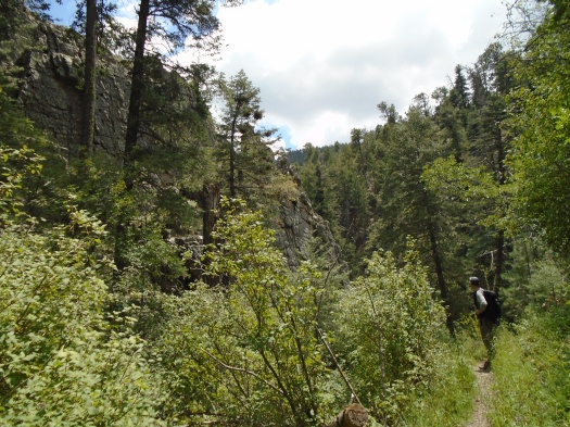
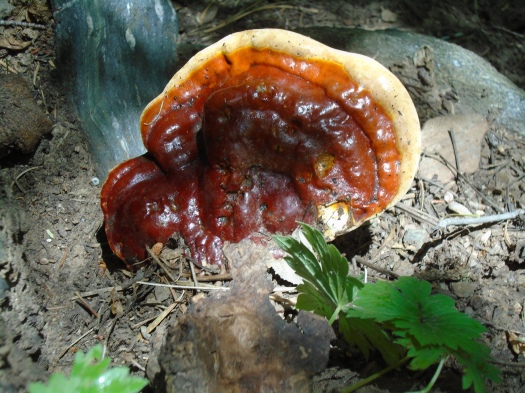
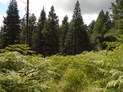
Before we reached the rock, there was only forest. Bright spruce and aspen commingled, sunlight pouring through. Ponderosa so thick on the north side of a ridge the temperature dropped 10 degrees and it began to look like dusk. Deadfall, giant trunks to climb over and under and around. Mushrooms making homes among the living and dead. And, as we emerged at the top of Spruce Spring Trail, a grove of ferns as tall as my shoulder.

DSC00038

DSC00054

DSC00025

DSC00020

DSC00017
Land of the Ferns

And yes, truth be told, there were views. Through trees and of trees. The Estancia Basin’s salt lakes glimmering in the distance. The pyramid of Mosca Peak. Ridges saturated with multiple shades of green.

DSC00015

IMG_1464

The Manzanos demand commitment. You want to summit by noon starting from Albuquerque, you will get up very early. You will drive winding roads, many of them unpaved. You will hike a long way; trailheads are few and far apart. You will be self-sufficient, as you rarely pass other hikers on the trail.

And when the experience gets emotional, you will be grateful for it, even if you didn’t start out that way.

Hike: Spruce Spring-Red Canyon loop, Manzano Mountains

Length: 7 miles

Difficulty: moderate

Trail traffic: none

Wildlife spotted/heard: nuthatches, finches, mountain bluebird, butterflies, black-capped chickadees


That moment on a familiar trail when everything around you starts to look alike (in a good way)

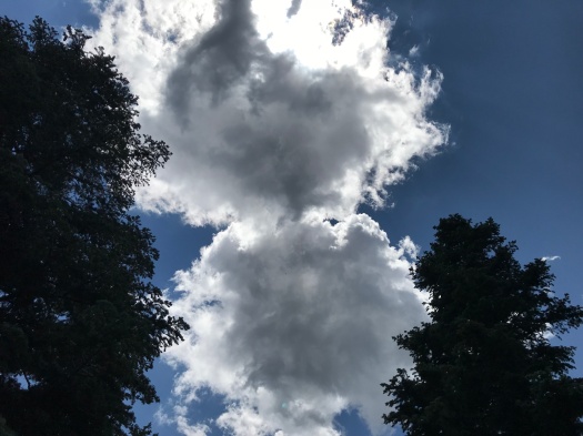
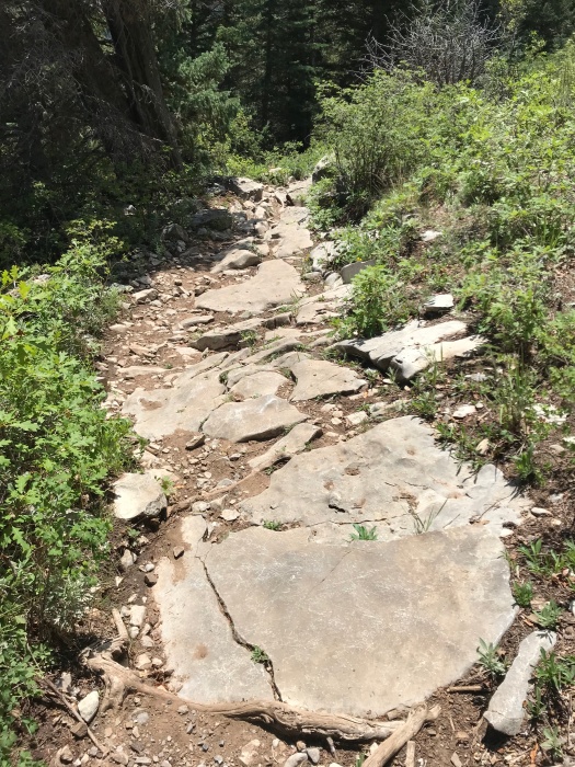
What’s above me and what’s under my feet have begun to look the same.

I crane my neck to see two giant clouds melting together, gray and white, light beaming through the space where they meet.

Their pattern echoes the patches of limestone embedded in the trail.

IMG_1421

IMG_1418

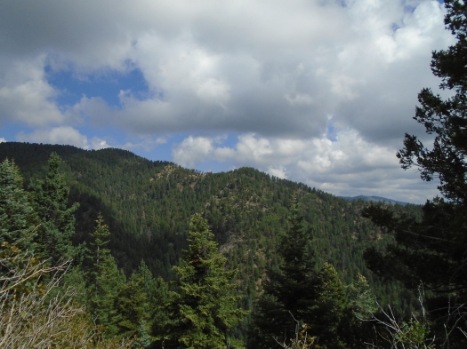
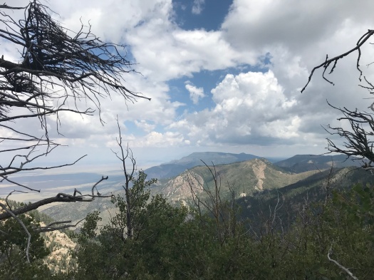
We take the gorgeous Tree Springs Trail from 8,500 feet through spruce and fir to an overlook of rugged rock.

IMG_1409

IMG_1374IMG_1381IMG_1398IMG_1399IMG_1402

Then we head north on the Crest Trail, about 1,000 feet lower in elevation and several miles from where we hiked the past two weeks.

The tang of evergreen needles fills my nostrils, mixed with a hint of dampness, the packed trail below redolent of mud from a monsoon storm now forgotten. As we climb, the evergreens get taller and fatter, and copses of aspen appear.

I knew as soon as I got out here, I’d want to go all the way to the upper tram terminal, a more than 7-mile roundtrip hike with 2,000 feet elevation gain. I also knew we’d started too late, it was too hot and too humid.

I make it about a mile up the Crest Trail – let’s just see how far I can get! – before assenting to the conditions, to my thigh and ankle muscles, and heading back.

On the return, we take a side trail to revisit the overlook, seeking a promontory that was occupied by lunchers earlier. The trail’s so thick with Gambel oak that I hold my hiking poles in front of my face to keep branches at bay.

My husband tells me later that as I crashed through the undergrowth, a small white butterfly with black-pepper spots danced circles behind me.

Some things are graceful, even when others are not.

Hike length: 6 miles

Difficulty: moderate

Traffic: moderate

Wildlife spotted or heard: Abert’s squirrel darting across the Crest Highway, woodpecker, butterflies, blue dragonflies, dove, chickadee, coyotes (heard in the distance), horny toad