Ojito de San Antonio: small but mighty (plus, fruit)

The whine intensifies, as if someone were drilling nearby.

It’s a cicada, half a note higher than the drone of his brothers and sisters all around us.

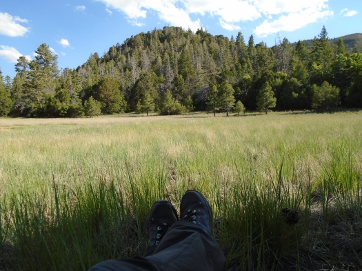
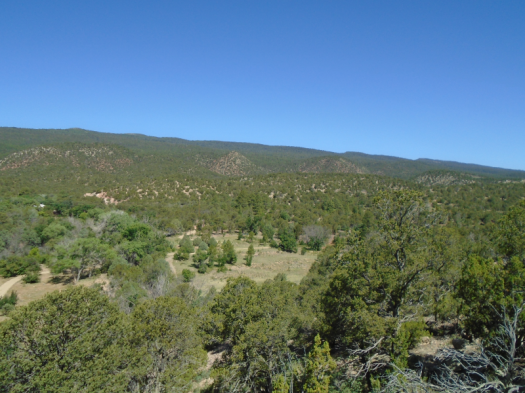
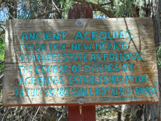
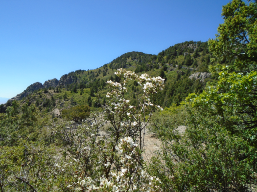
It’s a hot morning at Ojito de San Antonio, a small Bernalillo County open space near the East Mountains. The trail begins in a meadow where a historic acequia feeds an orchard, and the orchard feeds birds. Then the trail climbs through rocky juniper, and, this time of year, cicadas.

DSC02001.JPG
This lovely fellow was lying on the trail, recently deceased.

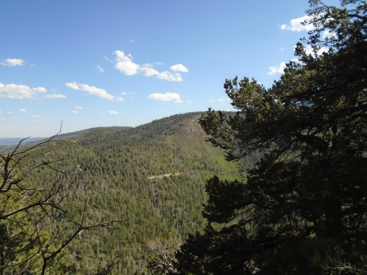
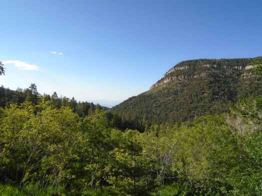
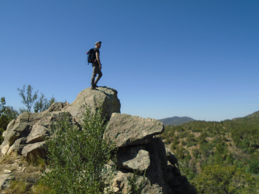
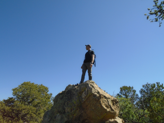
At the top, stacks of boulders look down on the meadow tucked into evergreen hills, and down on Highway 14 (conveniently located is, well, conveniently located). A single violet-green swallow swoops above us.

DSC02004.JPG

DSC02005.JPG

DSC02006.JPG

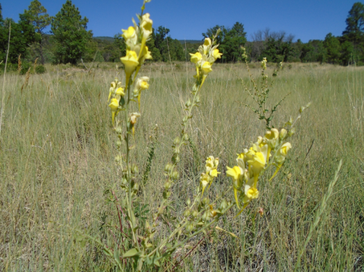
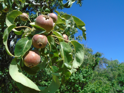
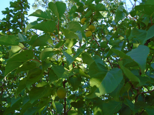
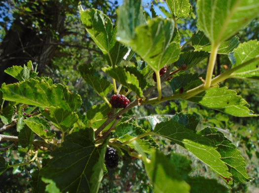
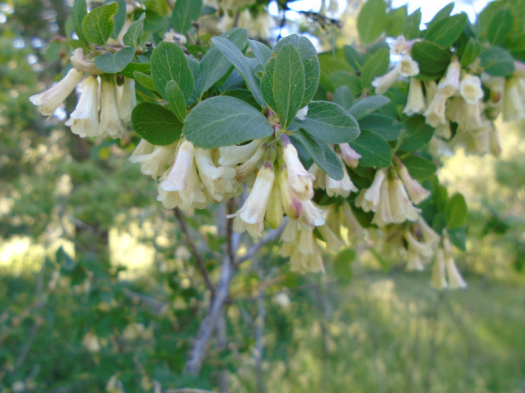
We emerge back into the meadow, counting wildflowers, butterflies and fruits. We spot apples, pears, apricots and mulberries.

DSC02017.JPG

DSC01994.JPG

DSC02022.JPG

DSC02023.JPG

Those who want to see the bounty this year have exactly one month to do so. Ojito de San Antonio reportedly closes from August to November so the East Mountains’ bears can have the fruit all to themselves before hibernation.

Hike length: 2 miles

Difficulty: easy

Trail traffic: very light

Wildlife spotted/heard: sparrows, bluejays, bluebird, violet-green swallows, nuthatches, butterflies, beetles, cicadas

DSC02025.JPG

Tree Springs Trail: the coolest place around (if you can stay upright)

We step into gale force wind.

The first time I stood on this spot, I understood every bumpy plane ride I’d had over the Sandias on a clear day.

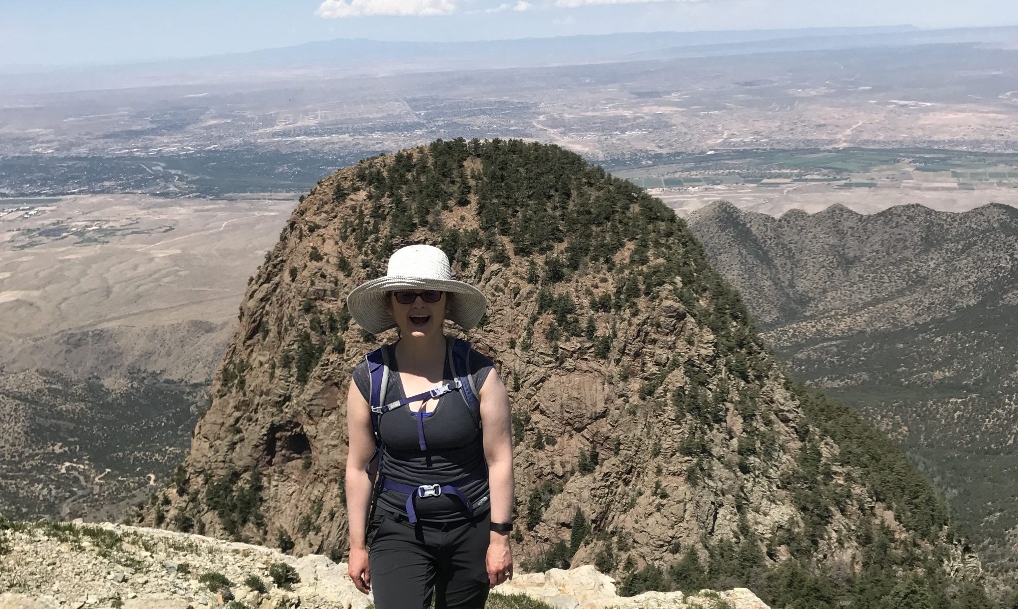
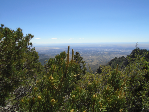
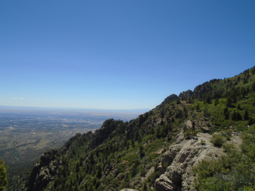
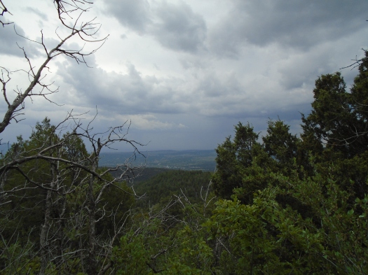
The overlook at the top of Tree Springs Trail provides one of the best panoramas you’ll find of Albuquerque. And, like many a bare rock ledge at 9,500 feet elevation, it gets a daily whipping from the wind.

DSC01968.JPGDSC01972.JPGDSC01975.JPG

Tucked under a tree, we found enough stillness to eat a snack and soak up the sun. My husband explored a rocky promontory we often check out, but the footing’s a little precarious, so I didn’t chance it. Gusts had me listing even when taking a photo well back from the ledge.

Tree Springs Trail traverses high-elevation meadows and ridges, mostly in the shade of fir and spruce, with an occasional sunny climb. It’s a haven for wildflowers, hikers and dogs. Today we witnessed a first: four guys on fat-tire unicycles.

DSC01983.JPG
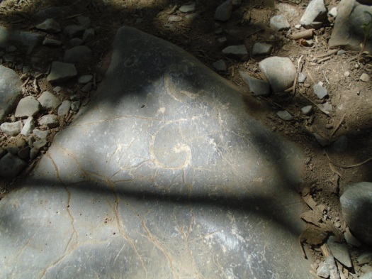
Fossil in the limestone

We usually flee to Tree Springs when the mercury nears 100 in the valley. Today, unseasonably cool in Albuquerque, felt even more spectacular up here: the temperature on the trail never climbed above 70, and a cool breeze bathed the trail. A brief windstorm had blown away two nights of heavy smoke from Arizona’s Woodbury Fire, leaving fierce blue skies behind.

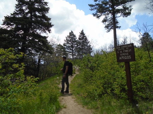
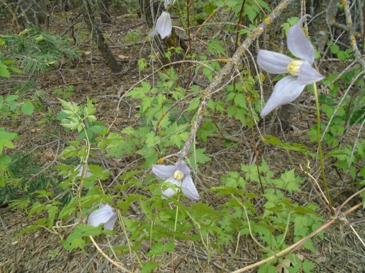
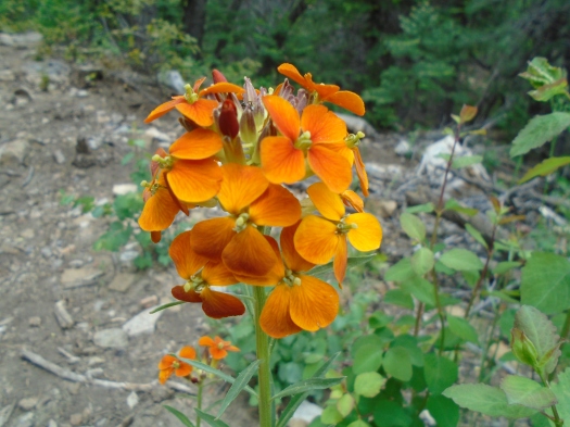
We capped off our hike with a detour on a side path of Oso Corredor Trail to check out more wildflowers.

DSC01990.JPG

DSC01991.JPG

I don’t know how the Duke City managed to steal this day from early May, but I sure am glad it did.

And, as always, grateful that we didn’t blow away up there.

Hike length: 4 miles, plus side trip

Difficulty: moderate

Trail traffic: popular

Wildlife spotted/heard: vulture, flicker, butterflies, caterpillar, cicadas


Borrego Trail: the power of the creek

“Is that the wind or the creek?”

“It’s the creek,” my husband said.

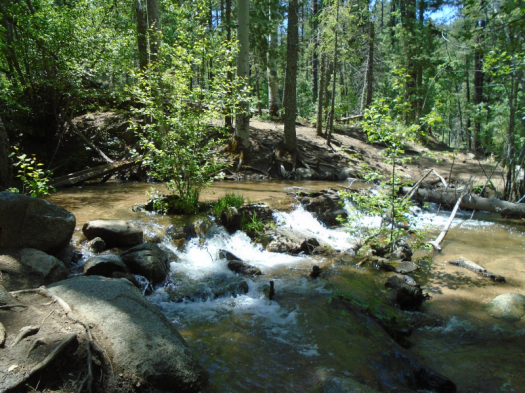
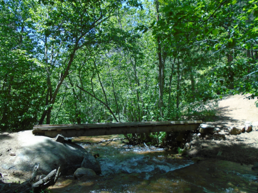
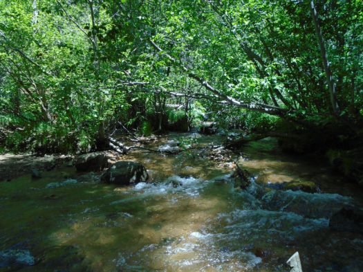
Sure enough, as we descended, the roar grew louder. A switchback, and the water appeared: wide, deep, fast-flowing. Froth built and dissipated around rocks. Butterflies darted.

DSC01939.JPG

One electric lavender butterfly swooped, landed on a rock and promptly disappeared, camouflaged by the mottled gray on the backs of its wings.

We turned from Borrego Trail onto Winsor Trail, which forms the spine of many a hike or bike ride from Tesuque to the Pecos Wilderness. We walked the Winsor for less than a mile, most of that in sight of the rushing creek, and all in earshot of it.

We emerged from a meadow at Winsor’s junction with our return trail, Bear Wallow. The relatively short distance and the creek make this a very popular loop hike, but we managed to snag a shaded log above the creek for our lunch spot.

DSC01943.JPG

DSC01957.JPGDSC01960.JPG

A hiker and his dog approached the creek, the dog curious but hesitant. He lapped water, dipped his paws in, then retreated up the bank before returning to try it again.

Suddenly, he galloped away and leapt on us, desperate to sniff and share his wet paws. His owner apologized profusely. All we could do was laugh.

We hiked downhill to reach the creek, so there was no escaping the fact that the hike back to the trailhead was all uphill.

The temperature was in the low 70s, a good 15 degrees cooler than Albuquerque.

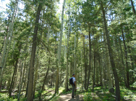
The landscape changed from the ponderosas around the creek to cool, lanky aspens as we climbed.

DSC01934.JPG

Still, I sweated my way up the many sunny ridges.

I find it harder to motivate for a climb when there’s a hot car waiting at the top instead of an overlook, but it was more than worth it to see and hear the creek’s power.

Hike length: 4 miles

Difficulty: moderate

Trail traffic: plenty

Wildlife spotted/heard: butterflies, hawk, cicadas


The rugged Sandias where few travel: Palomas Peak

I. Capulin Peak

We step onto the overlook and into a bird ballet.

Vultures and hawks soar above us, riding the cool breeze that whips at the overlook.

The Estancia Valley rolls away to the east. Veins of red soil ripple the green plains between us and the San Pedro and Ortiz mountains.

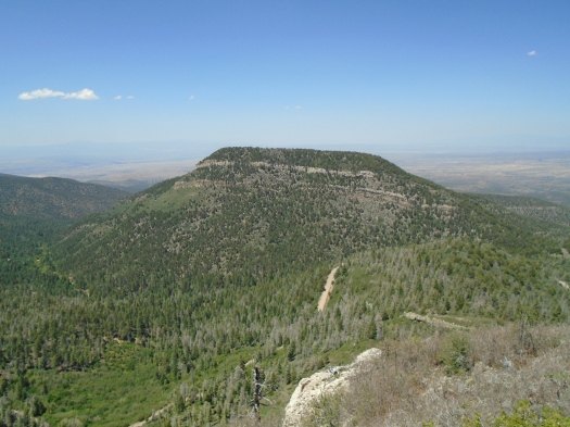
We stare out at a giant obelisk, a Titanic of rock, pale cliffs rising from forested slopes.
DSC01906

Between us and the obelisk, a wooded valley. A dirt road plunges into the valley, rolls around it, then climbs out the other side.

I want to go there, I think.

Then I realize that’s the place we already planned to go next.

II. Palomas Peak

My knees scream.

Something screams louder.

“Is that a mountain screamer?” I ask my husband, trying to make light of the sound. I’d learned from a dialect quiz that in some places in the U.S., people call mountain lions “mountain screamers.”

He laughs.

Some kind of bird we can’t see is making the sound, an eerie one I’ve never heard, and it doesn’t let up. I wonder if it’s in distress, or distressing something else.

I wonder if it’s at the edge of its capabilities.

I’m pretty sure I am.

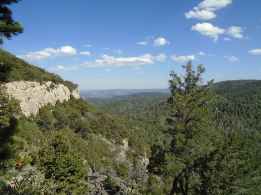
The Palomas Peak ridgeline twists and bumps along, tight against the bands of limestone we’d seen earlier.
DSC01922

DSC01918

DSC01917

Splintered and fallen rock litters the trail. Just a couple of steps beyond us, the slope plunges into the canyon.

My husband spots climbing pitons in the rock wall above us. I don’t see any of them. I’m mostly watching my feet.

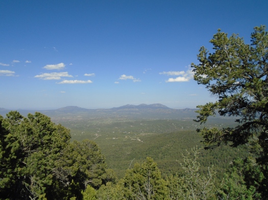
But from our spot near the ridgeline’s end, we can look back at the cliffs we just walked under, the endless green ridges.

We navigate the rugged ridgeline back to the steep trail that brought us here.

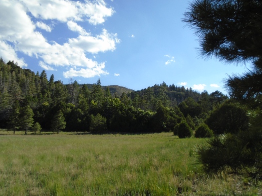
At a junction, we visit Lagunita Seca meadow, which we bypassed on the way up.
DSC01926

DSC01927

We sit under a tree, eat a snack and look out at all the shades of green.

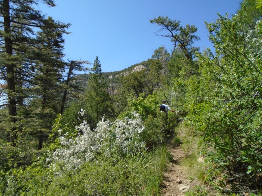
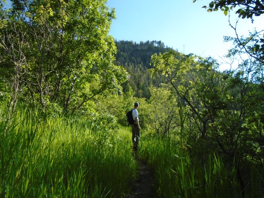
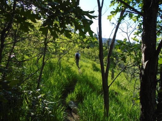
We head back to our car on a path that’s nearly swallowed by waist-high grass and wild rose and head-high Gambel oak.
DSC01915

DSC01929

Palomas Peak’s rock bands and evergreens, now high above us again, peek through the growth.
DSC01931

DSC01930

We saw many things on the Palomas Peak Trail. They did not include footprints. It’s the wildest place we’ve seen in five years of hiking the Sandias.

Hike length: Capulin Peak Trail 1.6 miles, Palomas Peak Trail 2.5+ miles

Difficulty: Capulin Peak Trail – easy; Palomas Peak Trail – moderate (the ridgeline is strenuous)

Wildlife spotted/heard: grasshoppers, cicadas, crows, vultures, hawks, jays, butterflies

Trail traffic: none on either trail

Things to know:

-Palomas Peak Trail is unmaintained; the ridgeline is rough, as noted above; and about a quarter mile from the trailhead, multiple partially fallen dead trees present a serious hazard. Hike at your own risk.

-I’ll save you a half-hour of wandering around parking lots and roads by telling you that Capulin Peak Trail begins at the snow play area, not the picnic area.

-Capulin Peak Trail would be an outstanding hike for small children, but keep them very close at the end of the trail. The dropoffs from the overlook are steep.

-The dirt valley road noted above is Highway 165 West to Placitas. It is stunning, especially this summer with the creek running. If you have a truck, take it. If you don’t have a truck, you can still drive this road, but take it very slowly.

-Both of these hikes are from the Sandia Mountain Hiking Guide.
It’s evergreen (and heavy machinery) season on Oso Corredor Trail

This trail smells like the inside of a jar of apple-cedarwood moonshine.
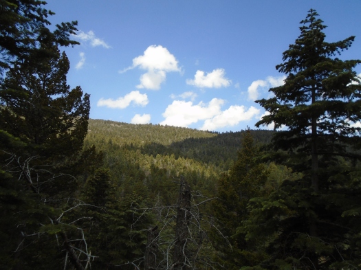
I know this because we recently received one of those from a friend. (It tastes as good as it sounds.)
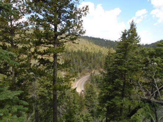
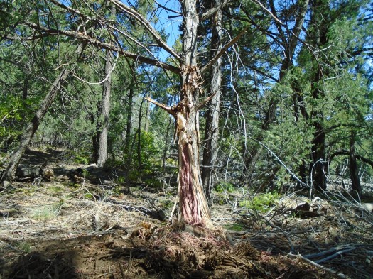
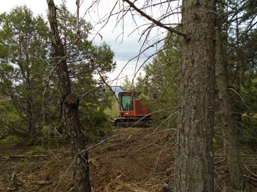
We showed up at Oso Corredor Trail in the Sandias to find a serious forest-thinning operation taking place. Heavy equipment buzzed just beyond the trail, reducing swaths of trees to splinters. I stuck my nose in the deep red heart of a masticated cedar trunk.

DSC01852

We left the heavy machinery behind as we climbed into the spruce-fir zone. We heard a couple of rumbles of thunder, but the sun stayed strong.

DSC01859

DSC01863

DSC01864

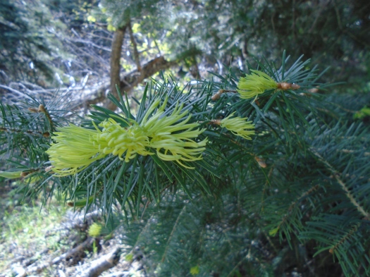
My husband lightly brushed the trunk of a spruce tree and sap shot onto his hand. The sap smelled exactly like tangerines and made us both crave an IPA.

DSC01857

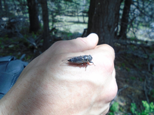
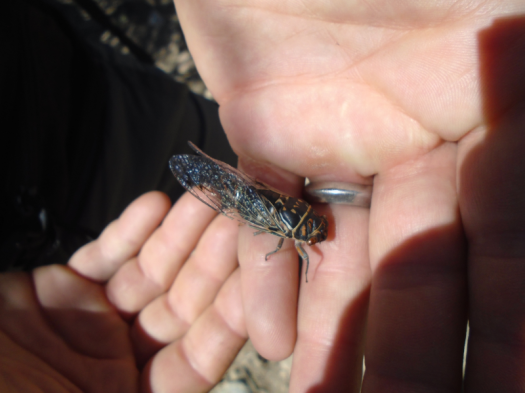
A cicada landed on his sappy hand and hitched a ride for almost the entire hike.

The climb up the trail from a popular picnic area had challenged me, but as the trail leveled out near the top, I started to feel like I could hike forever.

This is not a feeling I get often, and when we reached the junction with Tree Spring trail, I was tempted to keep going.

DSC01870

But we’d already hiked four miles with four to go back, and I wanted to explore an electric-green meadow we’d just passed. When we reached it, we found huge stands of wild rose. We’d seen wild rose in full bloom a week earlier on a trail at 1,500 feet lower elevation, but this had yet to bud.

DSC01879

As we descended, clouds moved over, darkened, and thunder rumbled again. The grass looked even greener and the wildflowers pulsed brighter under the dark sky.

DSC01872

DSC01877

Raindrops polka-dotted the limestone under our feet. As they came faster, my husband offered me a poncho. I declined, thinking the tree cover would keep me mostly dry for the hike’s final mile and a half.

10 minutes later, we descended the side of a steep ridge in a dark, driving rain, ice-cold hail pellets pelting us. Thunder boomed, and a flash of lightning blinked nearby. I was soaked and cold, longing for the dry clothes in my pack. I decided I would put them on in the restroom at the trailhead.

But the rain slowly lessened. By the time we reached Bill Spring Trail, an 0.75-mile path that would take us back to the parking lot, the sun returned to light a sparkling-wet canyon. My clothes were already mostly dry.

DSC01890

We passed a family who had heard the heavy machinery. My husband told them how we’d seen it rip cedars out of the ground. Their two little boys’ eyes lit up.

Both man and nature provide quite an experience on Oso Corredor Trail right now.

DSC01886

Hike length: 8+ miles

Difficulty: moderate

Trail traffic: moderate

Wildlife spotted: crow, robins, lizard, butterflies galore, cicadas galore, Abert’s squirrel, hummingbird