

This climb appears to end in the blazing blue sky.
That’s OK with me, as long as it ends.
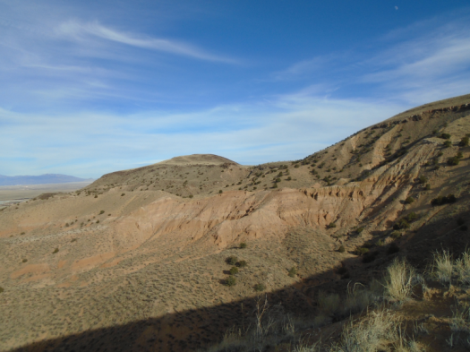
We began in the “sherbet bowl” at El Cerro de Los Lunas preserve. The trail there weaves drunkenly through stripes of peach, cream and pink sand, changing course to avoid erosion.
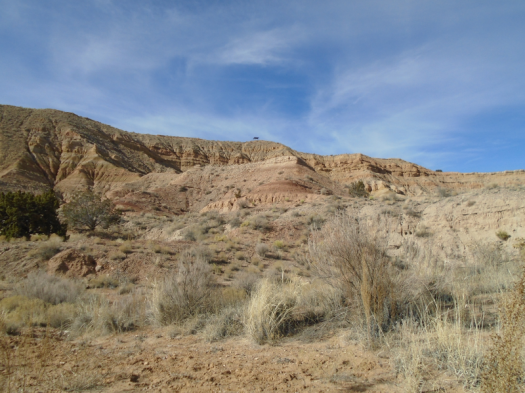
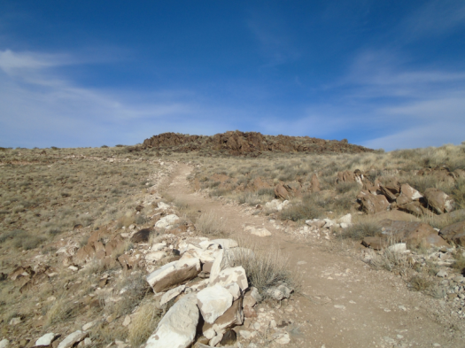
The trail meanders up some hills, then forces your body to downshift for what feels like an endless section of 45-degree slope. On sand.
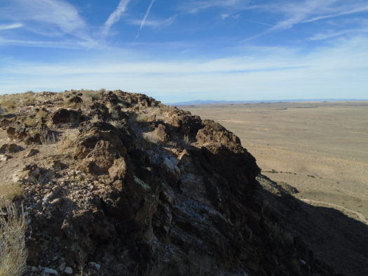
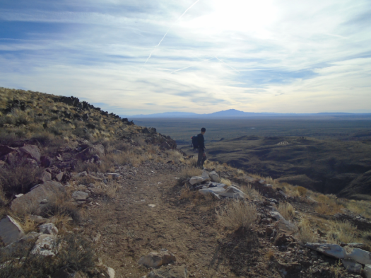
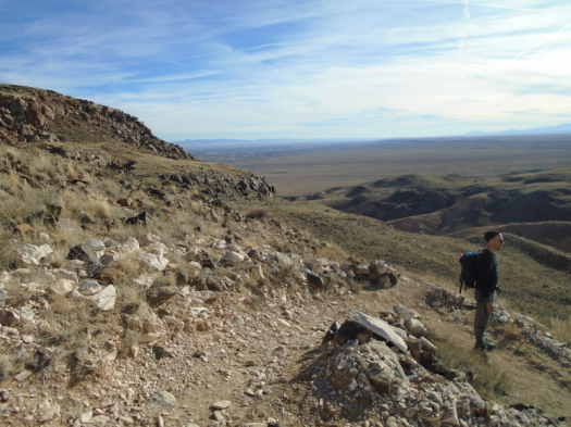
Finally, solid rock appears underfoot, the grade lessens and the climb ends in the sky. At the preserve’s northern summit, a jaw of volcanic basalt, a view straight down into a chunk o’subdivision. From here, four separate mountain ranges look like one unbroken chain: SandiaManzanitaManzanoLosPinos.
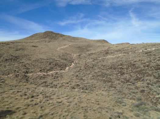
The trail plunges into a valley inside El Cerro’s volcanic cone. This means – you got it – another climb out.
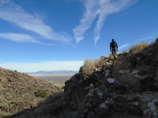
The landscape’s changes take my mind off my thigh muscles. Creosote waves break all the way down to the ribbon of I-25.
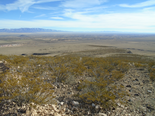
We crest and descend again. More basalt teeth, undulating gray hills, freight train whistles from the BNSF switching station in Belen.
We make a long loop around the far edge of the sherbet bowl, hear laughter from inside it. Two women on horseback navigate the bowl’s curves.
The steep descent goes quickly, helped by wooden steps pressed into the sand.
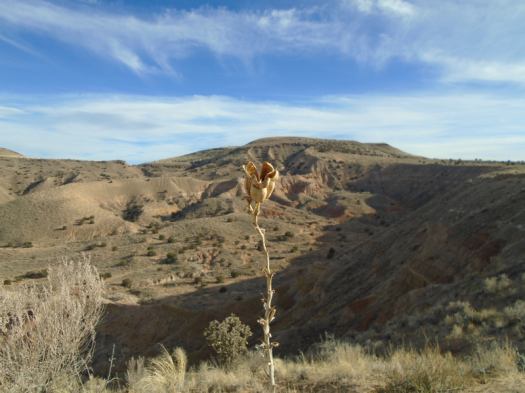
My husband dawdles on the long hike out of the preserve, volcanic rocks constantly catching his eye.
I keep looking back up at the northern summit and thinking, “I was up there.”
Hike length: 7.7 miles
Difficulty: moderate
Trail traffic: moderate, light on upper slopes
Wildlife spotted: jackrabbit, flicker, crows
TIPS: One of the first things you see when you enter the preserve is a sign warning you to stay on the trail because of rattlesnakes. And it’s not labeled on the trail itself, but the steep connector we took to the northern summit is called Rattlesnake Trail. This hike is best in the cold months when rattlers aren’t out. Unless it is actively snowing, it will be hot.

Sounds exhilarating!!!!
LikeLike