Winter solstice at Golden Open Space

Rust and purple underfoot, cut with white.

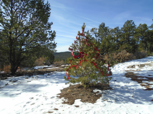
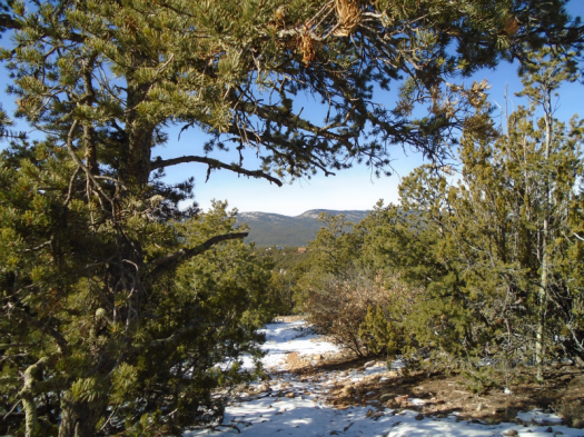
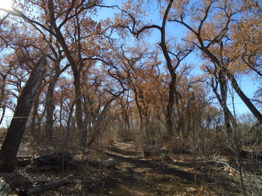
Snow doesn’t last long in the sun-baked hills of Golden Open Space. But north-facing hills haven’t yet cast off their last blanket. A few icy spots in the shade of a juniper’s twist dot the trail.

We climb the mesa on the far side of the Arroyo Seco and keep going out to a point. When we’re in these multicolored sandstone canyons, they’re eye-popping. “Tortured,” my husband calls the rock.

But from up here, hues meld and deepen: watercolor, mostly peach.

We chase the sun, our longest hike of the year on its shortest day.

Hike length: 8 miles

Difficulty: moderate

Trail traffic: light

Creatures seen/heard: blue jays, crows, ravens

An East Mountain snow day in two acts

I.

Snow is glistening.

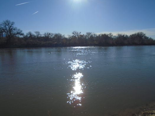
For the first time, on a quiet morning at Sabino Canyon, I can see it. Maybe it’s the sun’s angle, the snow’s consistency. Several inches blanket the ground.

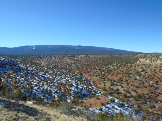
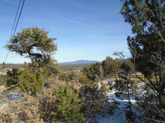
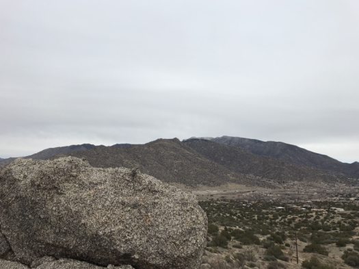
An interpretive sign informs me that I stand on the Manzano Mountains’ northern plateau. I would have told you I was in the Manzanita Mountains, but I accept the serendipity of my first winter visit to my favorite mountain range.

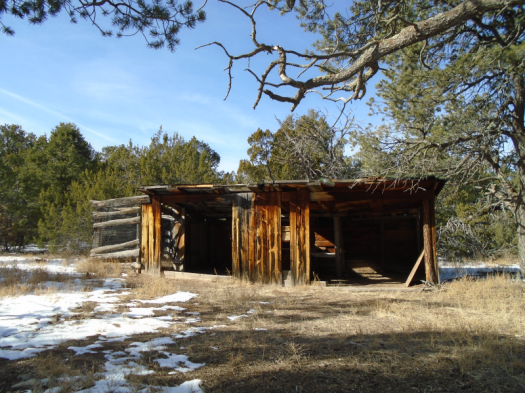
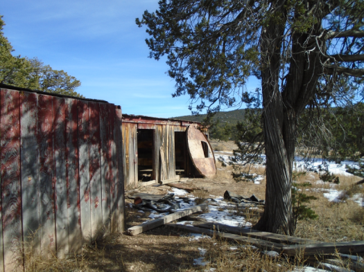
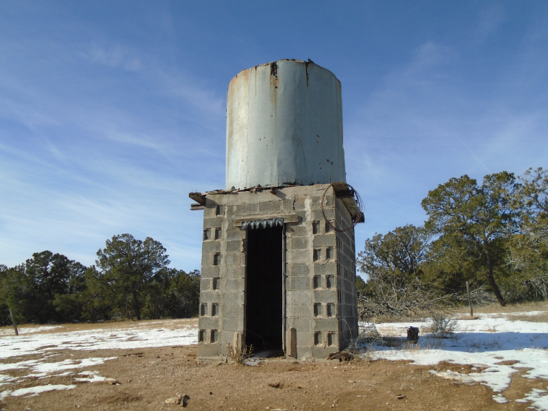
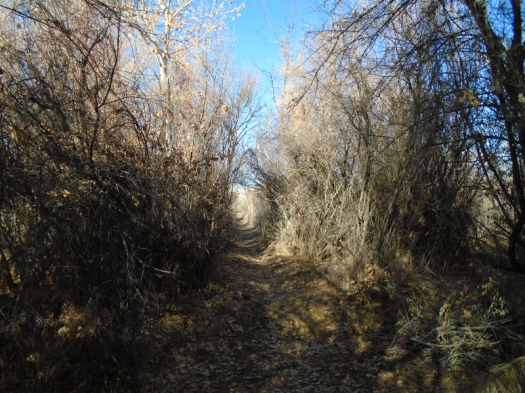
The trail passes the ruins of an old fur farm. Spotted towhees flit where foxes and minks once were caged.

The old fur farm’s water tower

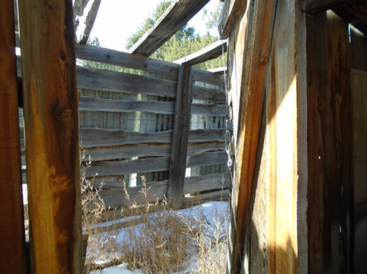
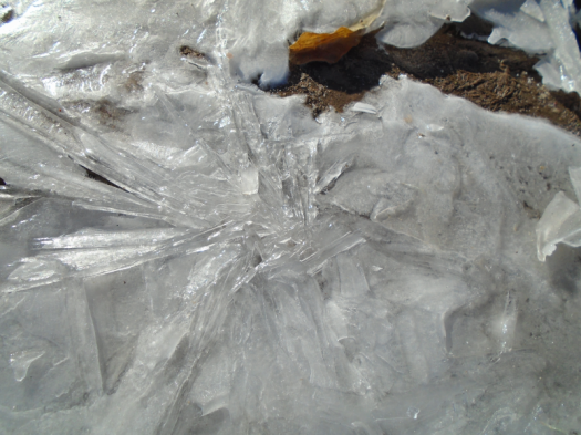
An icicle in a corner of a farm building makes me shiver. Something about the corner’s green patina from age and lack of use.

Still, I feel safe alone out here.

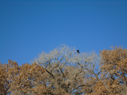
An enormous hawk swoops toward me. I think it’s an owl before I register its raptor-face staring into mine. It banks twice. Striped wings glow in sun.

I consider hiking the whole loop again, but I couldn’t improve on it.

Hike length: 2 miles

Difficulty: easy

Trail traffic: none

Creatures seen/heard: dark-eyed juncos, spotted towhees, crows, hawk, woodpecker

II.

I can no longer deny that I’m not on a trail.

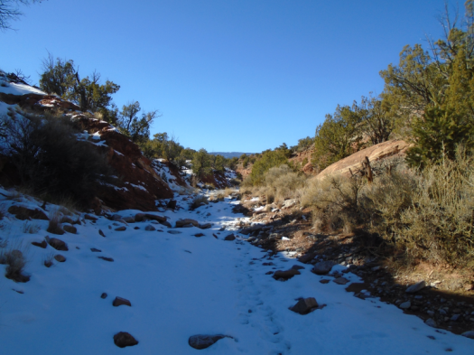
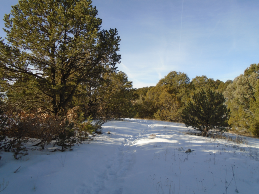
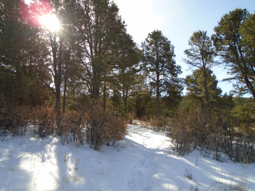
I’ve denied it for a very long, cold half-mile since the last junction. Followed footprints into deeper snow, steeper terrain. Postholed. Slid on the occasional sunny slope of pure mud.

But the footsteps I followed have ended.

I retrace the steps, this time uphill, sweat through my fleece.

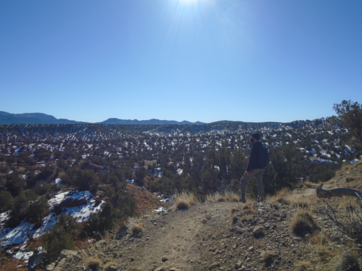
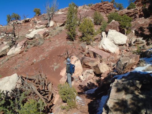
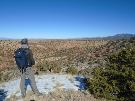
I knew the score as soon as I looked at the map of San Antonito Open Space.

The city owns several more open spaces like it in the East Mountains. Places where mountain vistas and overlooks of the plains butt up against big houses and bigger yards. Places with many ways in and out. With unsigned trails, and a lot of them.

These open spaces are compact enough that I’ve never been close to getting truly lost, but my reality often has not matched the maps.

That’s why I’d passed up a perfectly good trail that would take me back south, the general direction of my car. I sought a different trail on the map that would take me directly back to my car.

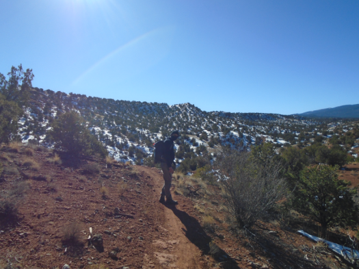
But that trail was somewhere under snow on a north-facing slope. And I’d left my poles in the trunk because this would just be a short outing.

I reach the perfectly good trail again and take it. At the bottom, little trails cherry-stem out to the road.

None of the first little trails I try are the right one. But I’m close. I hear the dog that barked its head off when I got out of the car.

After at least six wrong turns, I reach my vehicle.

I drive away, and a worry that’s chewed at me for a week pokes its head up. Then I realize: this worry surfaced earlier, during Sabino Canyon bliss.

But I didn’t spare it a single thought as I slipped, slid, postholed and backtracked across one of those confounding East Mountain open spaces.

Hike length: 2.5 miles

Difficulty: moderate, without the detour

Trail traffic: almost none

Creatures spotted/heard: crows, Northern flickers, woodpeckers, dark-eyed juncos

A river can

A river can shine

in winter sun

reflect it

to warm you

A river can shiver

in winter wind

A river can sustain

multitudes

with a trickle

A river can comfort

even

as it suffers

A river can spin

a tornado

of ring-billed gulls

glide them

back to splashdown

A river can defy

all known color palettes

charcoal?

in the desert?

A river can teach you

one squawking, flapping species

from another

Canada goose

from wood duck

from great blue heron

A river can do all this

in sight of

in spite of

heavy machinery

an inflatable car wash dinosaur

three-car pileups

belching fumes

record heat that breaks

record heat

A river can show you

how cheap

you’ve made the word resilience

A river can show you

how deep

you’d have to go

to begin to begin

in mere inches of water

a river can

The hike: The Rio Grande from Calabacillas Arroyo to the Alameda Bridge

Trail traffic: none

Difficulty: easy

Length: 4 miles

Creatures seen/heard: sandhill cranes, ducks, geese, doves, finches, starlings, crows, great blue heron, ring-billed gulls

Go play in traffic (and broken glass, and rocky cliffs, and a riparian ecosystem): Route 66 Open Space

Semi truck rattle. Airplane roar.

Beer bottle shards. Discarded masks. Spent shell casings.

Cottonwood. Tamarisk. Smell of water.

Juniper. Jay squawk. Bluebird swoosh.

Manzano diamonds frosted with snow.

Boulder field, cactus forest.

Gray sun ball.

Trucks and logs.

Acorn innards bleached by sun.

Icy rock pools.

There is nothing quite like a City of Albuquerque open space.

Hike length: 5 miles

Difficulty: moderate

Trail traffic: light

Creatures seen/heard: crows, blue jays, bluebirds, northern flickers

If this sounds like fun, here are the only directions I know of to this place.

The other Jaral Canyon (the one without people)

Looks like forever’s rolling away from us.

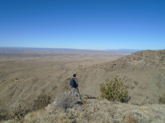
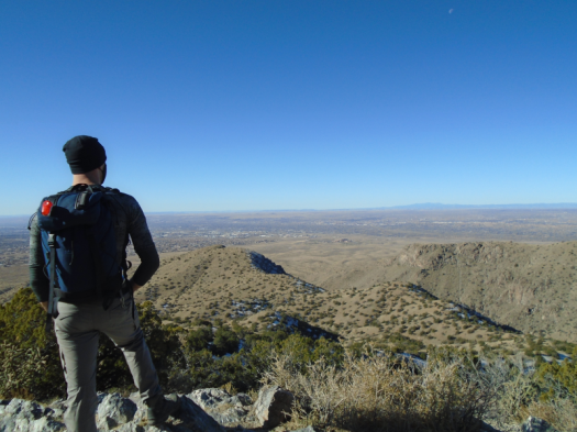
Long exposure of beige hills, crest to mountains, frame. Look right, deep into Juan Tabo Canyon’s gullet, frame.

Cabezon Peak is framed by the notch in Juan Tabo Canyon’s wall.

One human, a trail runner cresting a saddle below.

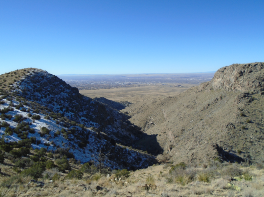
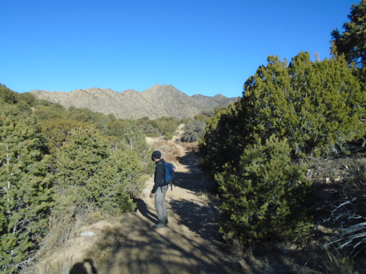
We can’t see them from the southwest corner of Jaral Canyon, but humans and their structures surround us. Sandia Casino. Subdivisions. The crowded trailhead for this hike, where Tramway meets the forest road.

We bypassed that busy spot. Drove north on the forest road to the quiet Juan Tabo trailhead. Hiked into Jaral Canyon from there. Met only one other person, the trail runner.

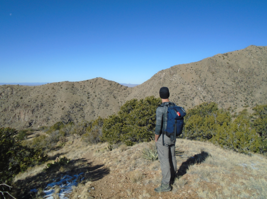
The route: doable, but steep and rugged up-and-down, starting with a 45-degree leg-burner.

We did not want to hike down that. And with all the trails that crisscross these canyons, some not on any map, there had to be an easier way back.

Right?

Riiiiiiiiiiiighht.

False starts. Turnarounds.

We get most of the way back on a rough path, but it dumps us into a brush-choked arroyo.

We backtrack to the forest road. My husband huffs up the road half a mile to the car.

I look up at the Shield, Prow and Needle rock formations. Snow clutches north-facing slopes. Jays rustle in the pinons.

We reached our goal: finding a socially distanced route into Jaral Canyon.

And after all the detours, I think I’ve actually satiated my appetite for this canyon for a while.

Hike length: 5 miles

Difficulty: moderate

Trail traffic: light

Wildlife spotted/heard: blue jays, doves, crows, spotted towhees, nuthatch