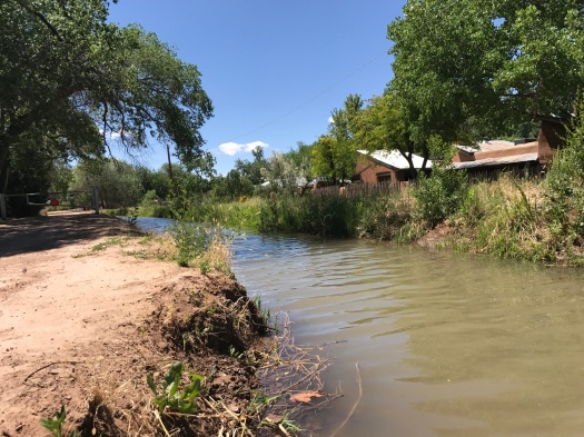
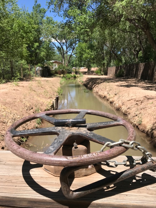
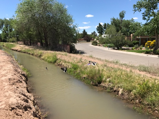
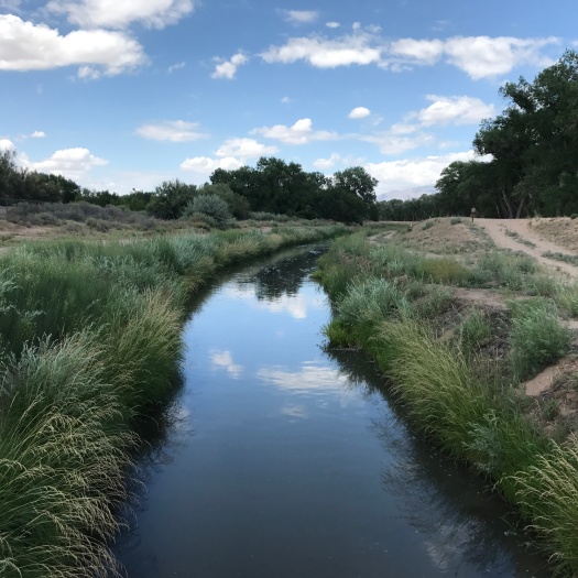
Everything is happier when it’s had a drink

Saturated colors.

Flowing ditches.

Hawks calling to each other.

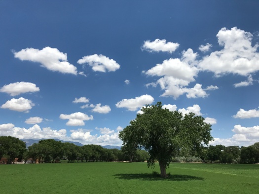
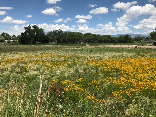
Abundance abounded when we arrived at the Open Space Visitor Center less than 24 hours after the city’s drenching. We received nearly an inch of rain Saturday.

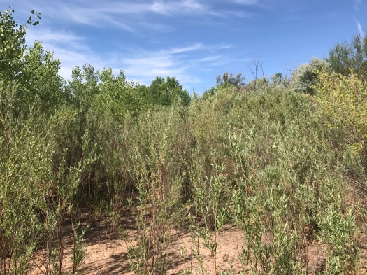
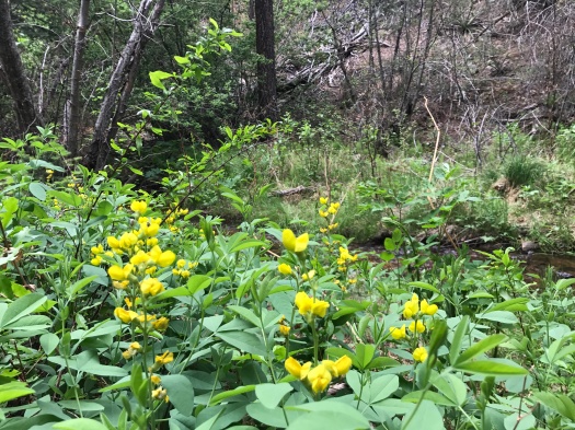
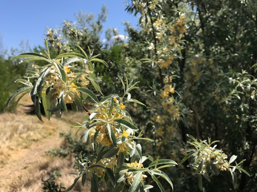
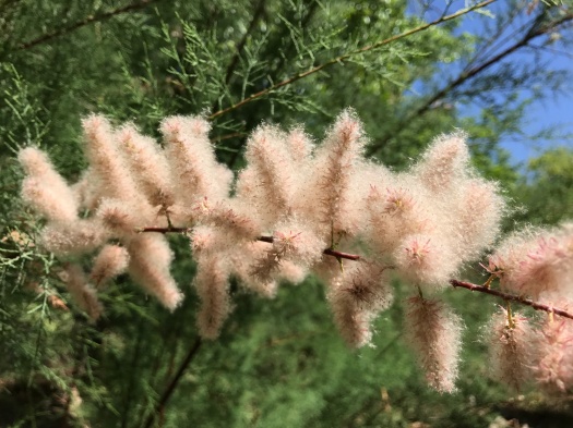
Agriculture and permaculture fields pulsed deep green, a scattering of yellow wildflowers breaking the monochrome.

IMG_0756IMG_0755

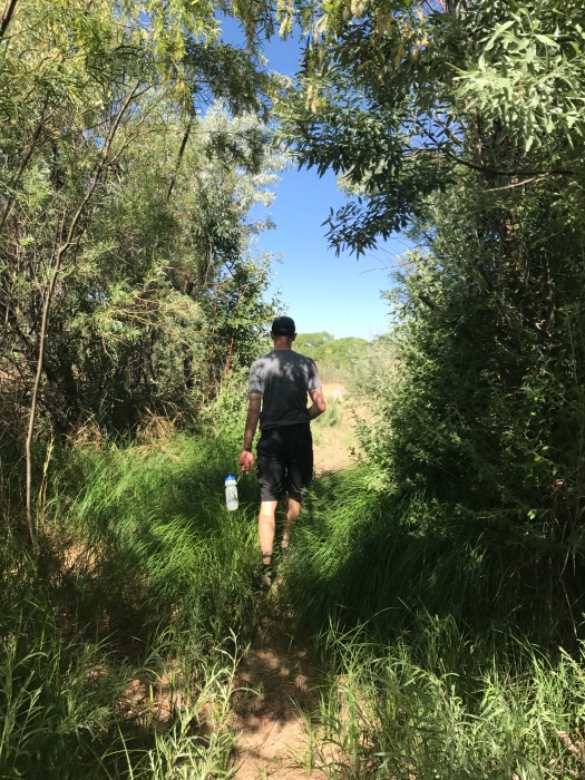
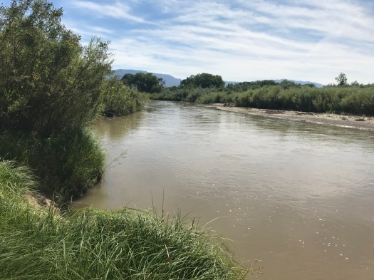
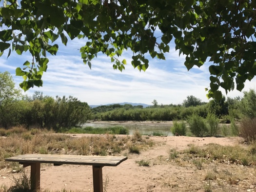
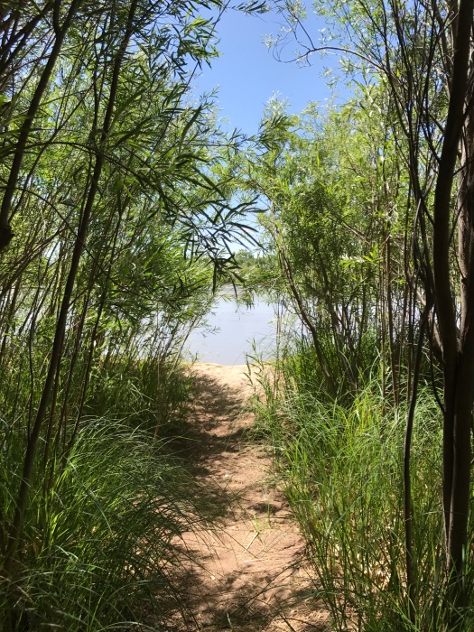
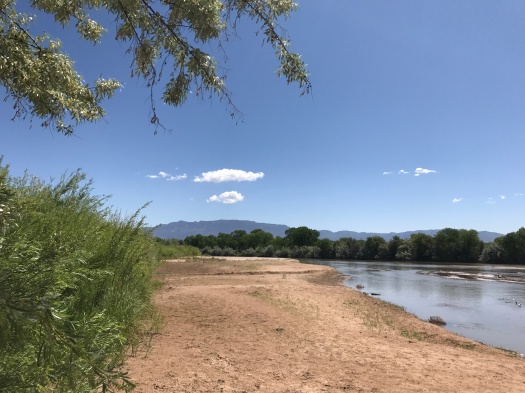
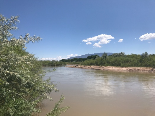
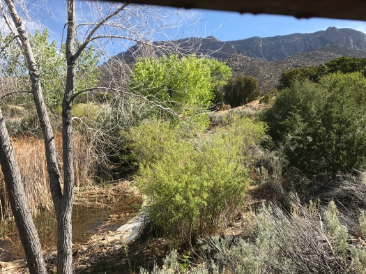
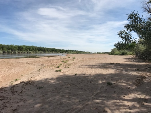
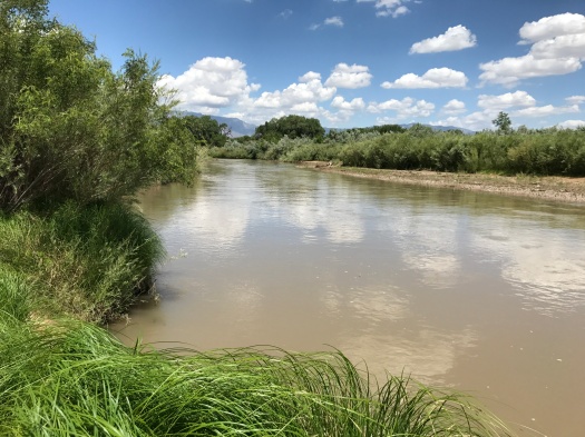
We walked into the bosque, squeaked through a path of rushes and cattails, and came to the fast-flowing river. On a sandbar, barn swallows bum-rushed a Cooper’s hawk till he fled the scene.

IMG_0775

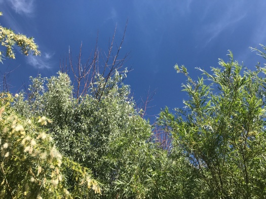
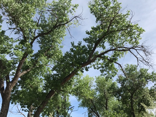
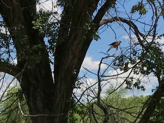
Hawks were everywhere today – bouncing from branch to branch at a fancy house along the ditch, chasing each other up into the evergreens.

IMG_0770

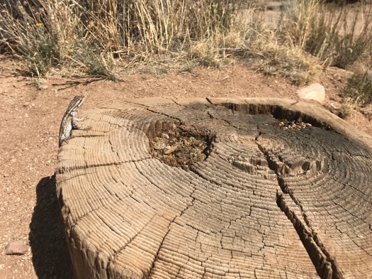
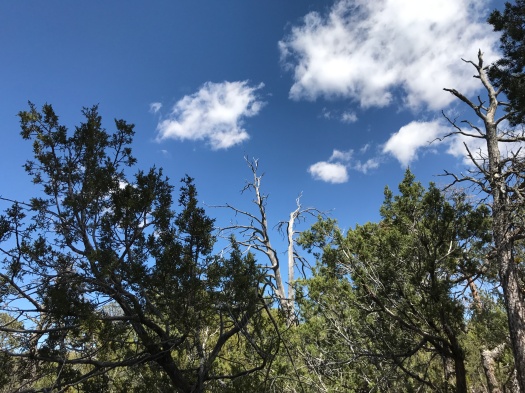
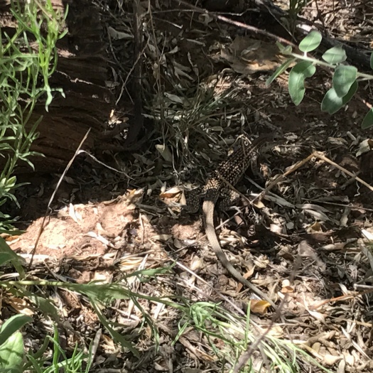
Butterflies cavorted. A striped lizard climbed up a cottonwood trunk and did push-ups.

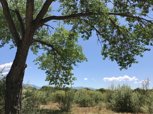
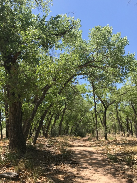
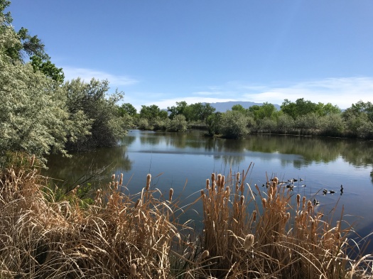
We had the bosque almost to ourselves this afternoon. The sun beamed down and humidity (humidity!) still hung in the air.

IMG_0781

IMG_0783

IMG_0800

IMG_0806

As we walked back to the visitor center, the same hawk bounced from branch to branch at the same fancy house.

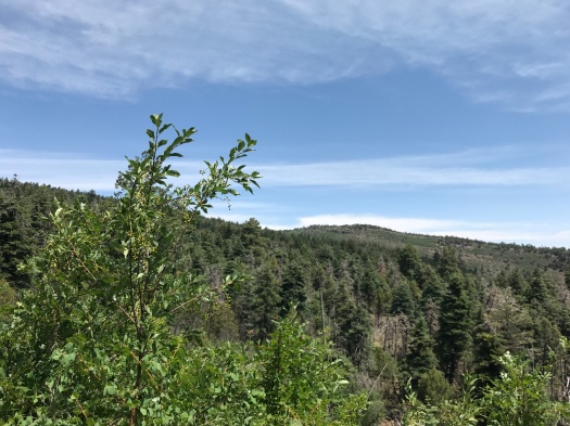
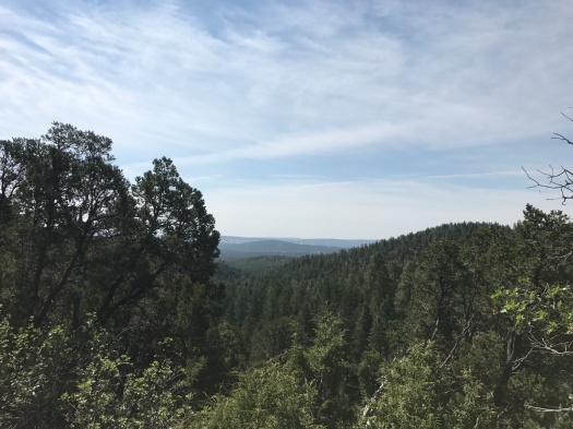
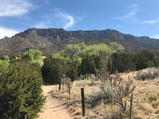
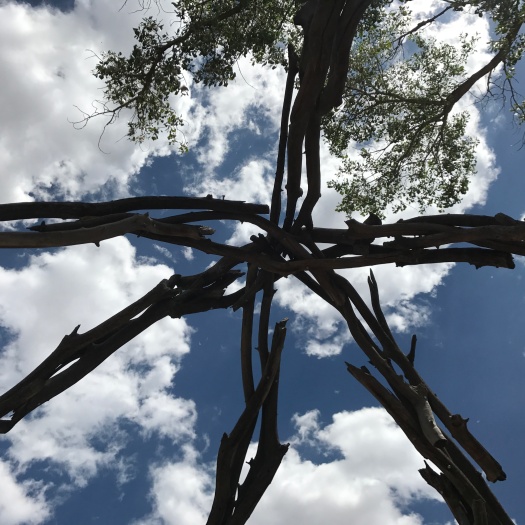
We climbed the observation tower to see the color show from a slightly higher elevation and watch wind ripple the grass.

The desert is a miracle in all seasons, but I have spent so much of this dry year longing for color. I’m grateful that I got to soak it in today.

I wasn’t the only one.

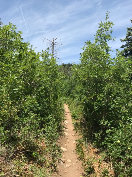
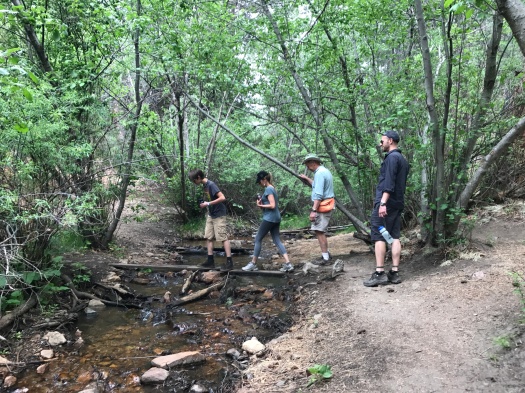
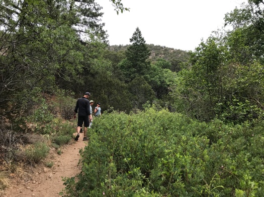
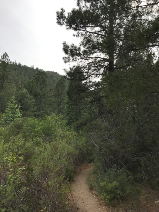
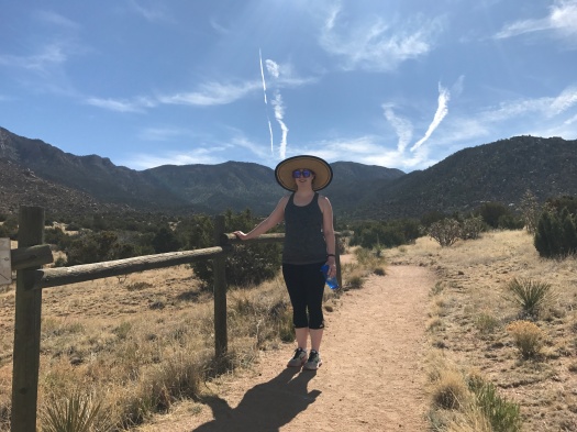
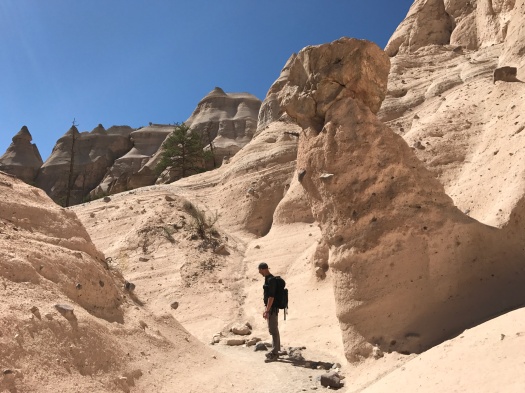
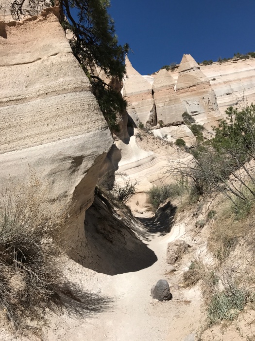
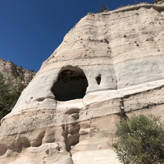
Hike length: 3 miles

Difficulty: easy

Trail traffic: light

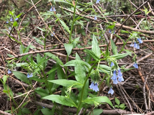
Wildlife spotted: Cooper’s hawks, herons, spotted and striped lizards, butterflies, dragonflies, grasshoppers, barn swallows, hummingbirds


This hike was faulty, but I’m OK with that

I suffer from Next Ridge Syndrome.

I see a glimpse of clear, open blue through the trees, and I just know there’s a vista spreading out in all directions a few steps ahead. No matter how tired I am, I push on.

A quarter-mile later, I’m still in the trees. My body’s more than ready to turn around and head back. My mind? Please. I see another glimpse of blue, seemingly just ahead, and the cycle repeats itself.

Today this game played out in the delicious-smelling spruce-fir forest at the top of Oso Corredor Trail (that really is an “e” in “corredor,” believe it or not.) I finally gave out at a semi-clearing, right where brilliant green trees crowded close against the trail.

IMG_0734

I would have liked to explore that, but the partial view from where I sat was pretty darn good. The grass-green, limestone-capped, rounded peaks that remind me of castles were in view. The birds were singing, a giant ponderosa offered tons of shade, and none of the other hikers and bikers out today had made it this far up this side trail.

IMG_0740

IMG_0744

As we walked back, we saw two tanagers, brilliant in orange, yellow, black and white, flitting from branch to branch. A fat Abert’s squirrel hustled down the trail in front of us, brandishing its bushy tail.

From Oso Corredor we headed back toward our car on Faulty Trail, which runs practically from I-40 to the Sandia Crest Byway. This stretch of Faulty boasts views of the San Pedro Mountains, Ortiz Mountains and the Estancia Valley below.

IMG_0730

IMG_0737

We hadn’t meant to wander around this bend in the Sandias today. I had in mind a 2,000-foot climb straight up Cienega Trail to the Crest Trail. But at the junction at the trailhead, we never located Cienega. We couldn’t figure out our mistake, even with the map, but perusing the map later, I think we just should have gone left on Faulty instead of right.

But our mistake was serendipitous. As we walked the last half-mile to our car, I ran into an old friend with her family. We hadn’t seen each other in years, and they told us all about raising two little kids in the East Mountains.

We wondered how many other people we knew were scattered around the Sandias’ 140 miles of trails on a Saturday morning.

You’d probably have to get lost to find out.

Hike length: 6 miles

Difficulty: moderate

Trail traffic: moderate

Wildlife spotted: caterpillar, butterflies, Western tanagers, crow, vulture, dark-eyed junco, Abert’s squirrels, carpenter ants at work

How to disappear completely, bosque edition

The thicket of green quickly engulfed us.

Eerie squeals nearby filled the air. At first I thought a family with toddlers was on the trail nearby. Nope. Coyotes.

We’d entered the thicket on the hunt for a lightly-trod trail hugging the west bank of the Rio Grande, about half a mile north of the Montano bridge.

Two weeks ago, we’d walked that trail as it glowed with yellow Russian olive blooms, sparkling against the reflection off the river.

Today we started on a doubletrack baking in the sun. One faint path headed toward the river – and straight into the thicket. We were mere yards from the river, but as we went deeper into the growth, the path faded and the brush closed in, becoming impassable without seriously trampling vegetation (a bad idea anywhere, but especially in the desert.)

IMG_0697

It was incredible to realize you could be swallowed up by nature, until your entire vision was blue and green, so very close to one of the most high-traffic roads in town. It was a thing worth celebrating.

IMG_0707

But the sun was already beating down at 9:30 a.m., and I wanted to see more than the thicket before the heat became unbearable.

IMG_0708

And we did. A cottontail bounded away from us. We heard dozens of lizards skittering in the leaves lining the trail. We saw at least 10 lizards, several striped or spotted, one at the edge of an irrigation ditch, so brown and gray he was barely visible.

We saw a hawk sitting on a cottonwood limb that bent all the way to the ground, then watched it fly away.

We watched a water bird flap over the river.

IMG_0718

We saw two turtles basking in the detritus at a spillway, soaking up the sun.

I’ve heard the Rio Grande is likely to run dry through Albuquerque this summer. I’ve also heard water managers are likely to release just enough water that it won’t, in order to keep residents from wigging out at the sight of a dry riverbed.

I wonder how long there will be vegetation in which someone could disappear completely, if the river is allowed to go where nature seems to be taking it this year.

IMG_0723

Hike length: 3.5 miles

Difficulty: easy

Trail traffic: light

Wildlife spotted/heard: rabbit, coyotes, dragonflies, grasshoppers, butterflies, hummingbirds, lizards, water bird (heron?), hawk, black phoebe


There’s still a river in the middle, even now

We drove the steep and winding road even though we thought the falls would certainly be dry.

But as soon as we stepped onto the trail, we heard it: the sound of abundance.

Water. Rushing, gurgling, bubbling water.

It was a rare cloudy day at Rio en Medio, near Tesuque. The trail wound along a mountain stream, bridged at times by slippery rocks or boards.

IMG_0654

Wildflowers and wild roses, just beginning to bloom at the end of spring, lined the path.

IMG_0648
This field of wild rose will be off the chain in about three weeks.
IMG_0657
Bluebells?

IMG_0658

The trail headed gently but steadily up. Five members of our family ranging in age by more than 50 years climbed it. At times we all came to a halt in succession, without discussing it, to look at each other and take a breather, yet we set the fastest pace I’ve done on a hike in a very long time (I’m a slow hiker.)

IMG_0656

IMG_0660

About two miles in, we reached the little canyon leading to the waterfall. We gave each other a hand up and down rocks and tree roots, finding a comfortable seat to watch the falls. It roared down between towering rock faces. We waited out a large group of young people splashing in it while my husband and nephew scrambled to the top of the falls.

IMG_0663
Mid-scramble.

IMG_0665

IMG_0668
Husband offers scale
IMG_0673
There was a single patch of columbine at the waterfall.

When the traffic cleared, I waded ankle-deep over moss-covered rocks to get behind the waterfall. The water shot out in an intense spray and pooled over my feet, absolutely frigid, despite the 80-degree air temperature.

IMG_0680

IMG_0688

We spent a good 30 minutes exploring at the waterfall, then walked back down the trail. We didn’t stop, but our pace left room to breathe in the blooming trees and bushes around us, to watch black-and-white butterflies and a mountain bluebird.

IMG_0690

I just finished this book. What I learned, combined with the desire to get a picture for this blog, pushed me into the cold water behind the falls, where I didn’t even consider going the last time I visited Rio en Medio.

There with our family yesterday, I marveled at how cold the water was on a warm day. But it wasn’t until last night that I started to wonder what made it so cold, and long to go back, so I could climb to the top of the falls and explore its origin. My husband reported that the stream narrowed as the rocks funneled it over the lip of the cliff, amplifying its power. That helped me understand its force, but not its temperature.

We all know water in the desert is a miraculous thing.

Each time we see it in action, we learn a little more about why that is so.

Hike length: 4 miles

Difficulty: moderate

Trail traffic: moderate

Wildlife spotted: butterflies, Western bluebird, Say’s phoebe (?), crow, lizard or small fish in the stream

TIP! This isn’t an issue many places in New Mexico, but there are mosquitoes at Rio en Medio. I have long used a natural sunscreen that reeks of lemongrass and claims to be mosquito repellent. After returning unbitten while my hiking companions did not, I have to believe it.


How do you process grief? One foot at a time

Yesterday morning, we put our 16-year-old cat to sleep.

After lots of crying, my husband wanted to take a walk, so we did, wandering new and old paths in our neighborhood and sitting in the park for a long time.

I don’t know exactly what it is about a hike or a walk that’s most healing: the physical motion, the time to think, the reminder that there’s a whole world going on around you.

But I’ve found solace in hiking before, and so have the two of us together, and certainly plenty of famous people have too.

It was tempting to sit in the house and stare at the walls today. But it was empty in here, too. We knew being outside again would be good for us.

We ended up right back where we were last weekend, in the bosque, this time on the west side of the Rio Grande.

When we got out of our car midmorning, the parking lot was mobbed, and it was loud. But after we passed under the Montano Bridge and began walking north, we saw only a few people.

The narrow path flirted with the river’s shore, gaps in reeds leading to a grassy spot on the bank, or to a sandbar.

IMG_0606

The leaves of the sweet-smelling, invasive Russian olives glinted in the sun.

IMG_0609

Mountain views opened up as we passed through meadows.

IMG_0619

IMG_0605
Is this salt cedar? (Cotton candy would be my next guess.)

IMG_0616

IMG_0627

We saw a dog chasing a coyote. (This will probably betray the gaps in my animal behavior knowledge, but I thought that would work the other way around.)

A few minutes later, we watched a coyote (maybe the same one?) run, then swim across the shallow Rio. Two orange-and-black butterflies danced across our path.

We saw two egrets wing across the water and above the trees. They’re the only water birds I can remember actually seeing on the water in New Mexico.

We watched a bluebird, a bright flash amid the green cottonwood leaves.

After about a mile, a side channel of the river blocked our progress along the trail on the bank, at least momentarily. We headed back on a shadier path through the cottonwoods.

IMG_0634

Our cat loved being outside. As sick as he was, he insisted on stumbling outside Thursday night and again Friday morning before we took him to the vet for the last time.

When he was young, he was a fierce predator who once killed two hummingbirds in one day and severed more than one lizard’s tail.

At the end, he spent much of his outdoor time sitting in the grass, watching his fellow creatures instead of trying to devour them.

Always, he loved the world around him.

Our walk this morning reminded us how much there is to love.

Hike length: 2.4 miles

Difficulty: easy

Trail traffic: light north of Montano Bridge, heavy elsewhere

Wildlife spotted/heard: lizards, egrets, Western bluebird, coyote, butterflies, dragonflies, bees (some REALLY HUGE bees), nuthatches, sparrows, Cooper’s hawk


Three hikes with someone I love reminded me why ABQ is home

It’s been a rough year already, Albuquerque, in a lot of ways. Like many places, the issues we face here are deep, and they can feel insurmountable.

This week I got the chance to see my city through fresh eyes, and to remember why I fell in love with it and why I stay.

My sister visited from New Orleans this week. She wanted to experience Albuquerque the way my husband and I do. That meant hikes.

That meant getting up as early as we could to visit Elena Gallegos Open Space in the Sandia foothills before the sun pouring down on it grew too hot to enjoy.

That meant watching a frog bask in the tiny wetland on Cottonwood Springs Trail, interrupting a lizard doing his daily push-ups on a stump, crossing bone-dry arroyos and talking about what it looks like when they flood.

IMG_0484

IMG_0489

IMG_0490

IMG_0493

That meant getting up as early as we could again the next day to visit the bosque. It meant watching blue dragonflies dart by. It meant stopping in our tracks to watch three robust-looking coyotes lope toward the jetty jacks, and talking with people on horseback who’d been close enough to see a fourth. It meant walking out onto a drying riverbed to see the Rio Grande. It meant stopping by the visitor center to see 17 turtles chilling in a wetland.

IMG_0500

IMG_0507

IMG_0509

IMG_0523
Turtles at 4 o’clock

After we took my sister to the airport this morning, my husband and I squeezed in a North Valley ditch walk before the afternoon heat settled in.

IMG_0530

IMG_0548

IMG_0579

I stalked ducks with my camera; every time I got close to them, they flapped out of the ditch to put some distance between us, showering me with water. I texted my sister a picture of the ducks.

IMG_0561

We’ve made our home in a hard place. All the local landscape and food and art and architecture and culture and history we soaked up this week doesn’t change that.

It reconnected me to why we do it.

IMG_0498

Hike 1: Elena Gallegos loop

Distance: 1.2 miles

Wildlife spotted: lizards, frog, bluejays, butterflies

Trail traffic: moderate

Difficulty: easy


Hike 2: Bosque loop (Bosque Loop Trail + River Loop Trail)

Distance: 2.3 miles

Wildlife spotted: coyotes, lizards, dragonflies, butterflies, turtles, hummingbirds, geese

Trail traffic: popular

Difficulty: easy


Hike 3: North Valley ditch loop

Distance: 2.2 miles

Wildlife seen or heard: donkeys, peacocks, ducks, lizards, butterflies, grackle, doves, horses

Trail traffic: light

Difficulty: easy

This spot is crispy as a potato chip, yet it’s still overflowing with life

When we pulled into the parking lot of today’s hike, our first sight was a Forest Service hotshot firefighting crew.

Thankfully, they were just patrolling. This time.

The last fire in David Canyon was three weeks ago. We walked through embers so fresh we could still smell them, and blackened tree limbs that glowed silver in the sun.

IMG_0449

One canyon wall resembled an eyebrow, fire-stripped trees like sticks from an older blaze.

Yet we saw and heard more birds there than almost anywhere we’ve ever hiked. Every time we stopped to rest under a tree, we heard only two things: the wind and birds chattering to each other and us.

David Canyon sits on the edge of a residential area in the Manzanita Mountains. A couple of lucky souls live in houses perched atop the high canyon walls. As you wind your way down through the forest, killer views of the Guadalupe and Mosca peaks in the Manzanos appear. Those mountains are just 12 miles away, according to our guidebook.

IMG_0442

The steep descent put us exactly at eye level with a pair of nuthatches as they looped around a tree trunk, chattering.

We stopped to rest when we reached the canyon floor, a meadow running both north and south.

IMG_0447

Then a climb up through thick forest eerily spotted with burn scars. Rocky ledges crossed the trail. Two large lizards with distinctive gray stripes darted along the rock.

The climb took us to a forest road winding along the ridge. We could see the top of the opposite canyon wall. As the road grew steep and rocky, we gained an unobstructed view of the Manzanos behind us, and the Sandia foothills peeked into view in front.

IMG_0454

IMG_0461

The final section of this hike took us down into David Canyon again, following two rugged forest roads. Ponderosa pines towered overhead, late-afternoon light slanting through them, bird cacophony cascading down.

IMG_0464

If you look at your feet on this hike, it’s pretty monochromatic. Dry grass lines the path; in some spots, the pine needles we sat on to rest were so dried out they were gray.

But if you look up, color saturates your vision: deep green pines wave in the wind, blue sky above, a violet-green swallow flashing overhead.

Hike length: 8 miles

Difficulty: moderate

Trail traffic: minimal

Wildlife spotted and/or heard: lizards, crows, hawk, raven, violet-green swallows, black-capped chickadees, vesper sparrows, nuthatches, hummingbirds, woodpeckers

TIP! One of the best things about this hike is that, with the extensive network of trails and well-marked forest roads in and surrounding David Canyon, you could easily change your mind en route about what you wanted to do here. This excellent route, which I would never have found otherwise, comes from Stephen Ausherman’s “60 Hikes Within 60 Miles of Albuquerque.”

The many moods of the Manzanitas

IMG_0372IMG_0374IMG_0382IMG_0385IMG_0391IMG_0402IMG_0412IMG_0422IMG_0435

Trails hiked: Birdhouse Ridge-Tunnel Canyon loop, plus a little bit of West Ridge

Hike length: 6.4 miles

Difficulty: moderate

Trail traffic: moderate

Wildlife spotted: many kinds of butterflies, vulture, crow, lizard

This is what awaits you behind the Cedar Crest post office

I wasn’t sure where to begin today.

Like all of Albuquerque, I was grieving the loss of a beloved woman, a mother, wife, businesswoman and community service leader, in an unspeakable accident. With my colleagues, I’d written an obituary and created a tribute to her this week.

My spirits low, I dawdled getting to the trail. But when I got there, I could see that what this place had was good for me.

IMG_0286

IMG_0290

IMG_0295

A fragrant green tangle of pinon and juniper. Blue sky and clouds sliding by. A gradual but steep climb to a rock shelf with a sweeping view of the deeply forested East Mountains and faraway Guadalupe and Mosca peaks.

IMG_0317

IMG_0331

IMG_0337

This place is the Milne/Gutierrez Canyon Open Space, accessed behind the Cedar Crest post office. It’s close enough to Highway 14 that you can hear some level of highway traffic throughout most of the space. But the higher you climb, the more that’s overtaken by bird song, the wind and the squeaking of branches. The trail network is well-marked and lightly traveled, especially on the upper trails. We found no map of the full trail network online or at the information board, but it was easy to choose your own adventure.

A little brewery sits right next to the open space entrance. And a barbecue joint is close enough that the smell of smoked meat tantalized us as the sun fell and we meandered along an arroyo. You could stop at either or both to cap off an afternoon spent wandering high above the valley.

Or you could just head back to reality, feet aching, fortified with sunlight and gratitude.

IMG_0345

Hike length: 6.8 miles

Trail traffic: light

Difficulty: moderate

Wildlife spotted: jays, caterpillar, beetles, rabbit, hawk, lizard


It’s one of the most beautiful and famous hikes in New Mexico. And it’s harder than you think.

Getting down that is going to suck.

I’d just scrambled up one level on the side of a cliff with the assistance of my husband and some rocks. I’d scrambled up worse, but never with such a steep dropoff on one side. I knew I could get back down it, but I also knew doing so would trigger my fear of heights.

Once I was up, looking down wasn’t easy, but it was productive.

I was staring down at 90-foot-tall hoodoos sprinkled with ponderosa pines. We’d traveled through a 1,000-foot-long slot canyon before we began the climb.

My legs were rubbery, but as the trail switchbacked further up, the snowcapped Sangre de Cristo Mountains came into view behind the hoodoo field.

IMG_0206

And at the top, I could see into the Jemez Mountains, the Dome Wilderness, Tetilla Peak and back to the Sandias, too.

IMG_0208

IMG_0215IMG_0216

I was standing at the highest point of Tent Rocks National Monument (Kasha-Katuwe in the Keresan language, and a place of great significance to the people of Cochiti Pueblo). We have a six-million-year-old volcanic eruption in the Jemez to thank for the existence of the hoodoos, formed of soft volcanic tuff that’s eroded over millennia.

On a clear and brilliant blue day, Tent Rocks also provided a spectacle we rarely see while hiking in New Mexico: crowds. It’s one of the most-photographed destinations in the state, and over 130,000 people visit every year. On summer days, you might have to wait up to 90 minutes until a parking space opens up. We had no wait to get in, but at one point, we waited as a group of seven people  squeezed through a particularly tight spot in the slot canyon one at a time.

Given how popular this hike is with tourists, I was surprised by how challenging it is in spots. The slot canyon and the path through the hoodoos rise gradually, but the trail up the cliff rises 200 feet in 0.3 mile.

Oh yeah, scrambling down that cliff. I tried to back down; I thought it would be physically easier, but I could not make myself do it. We regrouped and let some less acrophobic people by. When I saw one go down facing forward, I did the same, finding enough footholds and handholds to land solidly.

From there, a passage back down and through the slot canyon, all cool rock, light, shadow and sky.

IMG_0230

IMG_0235

IMG_0245

IMG_0250IMG_0251

IMG_0260

IMG_0252

IMG_0263

IMG_0266

IMG_0190

IMG_0201

IMG_0203

Hike length: 4 miles (including the Cave Loop)

IMG_0186
Can you see the smoke on the roof of the cave from long-ago wildfires?

Difficulty: moderate

Trail traffic: busy

Wildlife spotted: bluejay, white-throated swift, crow, bald eagle?!? (sitting on a power line above the Rio Grande just outside the monument boundary)

Thanks: I’m grateful to the people of Cochiti Pueblo for allowing the public to use its land to access this amazing place.

Want more hoodoos? I got more hoodoos.

*Note: The Veterans’ Memorial Overlook loop, which we’d also hoped to hike today, is closed until Tent Rocks can hire another ranger to patrol it. There were only two working the busy park today.