It darts, resolving into a deep brown butterfly, wings tipped yellow.
These butterflies have been my constant companions on this hike. Occasionally, smaller orange and gray butterflies join them, often in pairs.
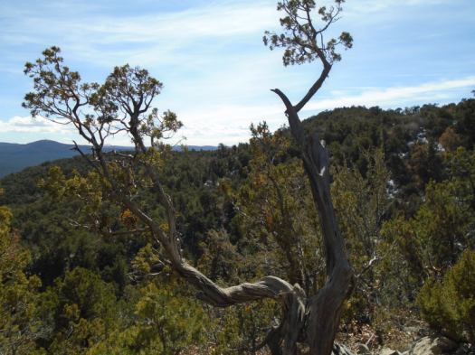
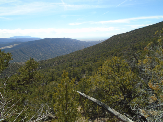
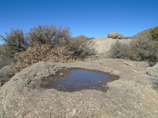
Spring hovers on the South Crest Trail. Mud puddles on shaded switchbacks two weeks after the last snow, the earth around the mud baked hard. Mountain bluebirds flock and chirp above canyons layered with evergreen.
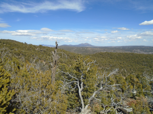
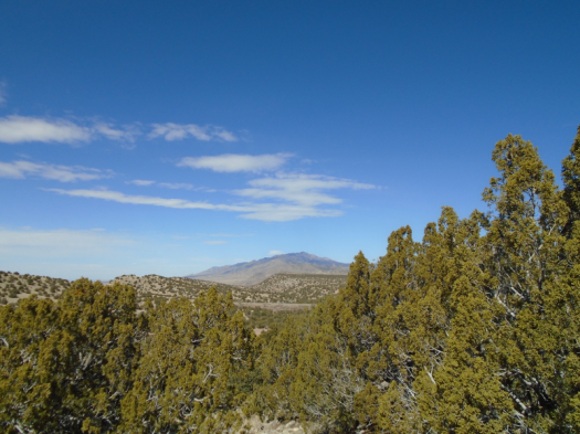
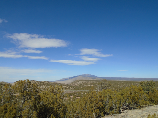
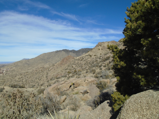
The bump on the horizon is Cedro Peak in the Manzanita MountainsSan Pedro and Ortiz mountains on horizon
West of the junction with Upper Faulty Trail, a tunnel of trees frozen in autumn. Dead leaves carpet a layer of ice.
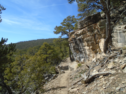
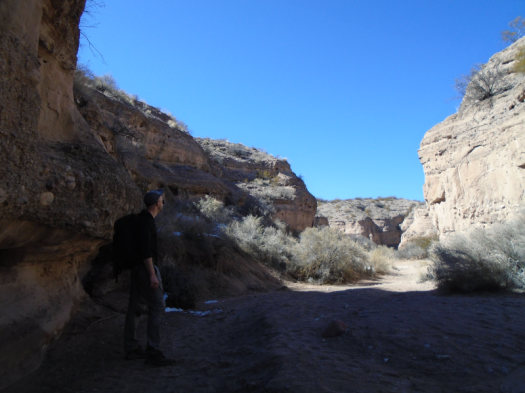
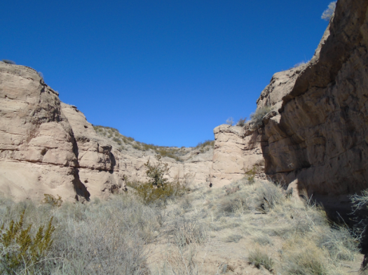
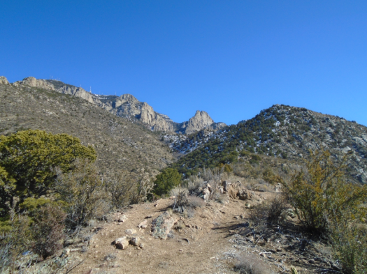
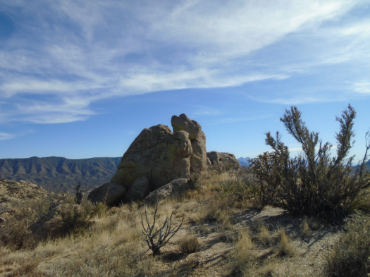
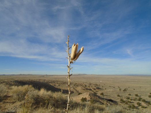
A short climb later, limestone cliffs ripple, chalky, like the ones we saw at Palomas Peak last summer. Green yucca blades stud the ivory rock.
Three miles into wilderness, I hear the whoosh of semis on Interstate 40 below.
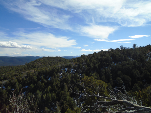
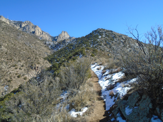
Snow caps the top of Tijeras Canyon’s walls. The Manzano Mountains, which looked naked as a jaybird from Abó Pass last week, are clearly snowpacked above 8,000 feet.
The sun inhabits every surface. My ears tingle in the breeze.
A day to linger, soak in warmth, stop at every overlook, breathe in the smell of spring mud.
And be frequently startled by butterflies.
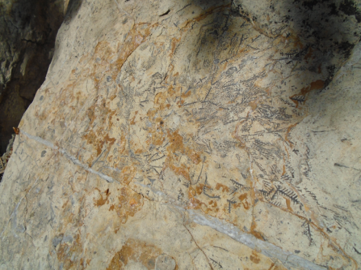
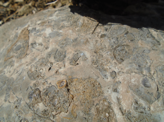
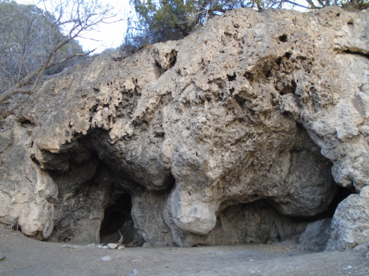
Marine fossilsMore fossilsTravertine cave
Hike length: 6 miles
Difficulty: moderate
Trail traffic: moderate, none west of Upper Faulty Trail
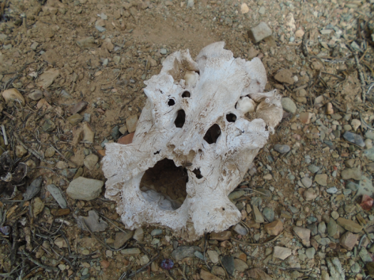
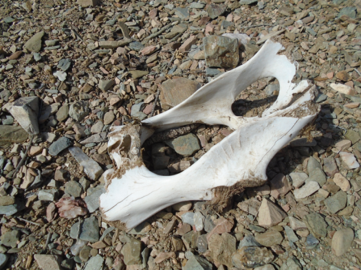
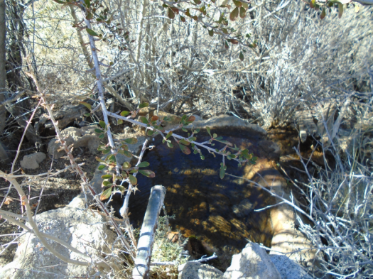
“Is that another bone?” I ask, squinting. We’ve seen a lot of bones today.
“It’s a foot,” my husband responds. “A fresh one.”
As in, not just bones.
“A human foot?!!”
“No, an elk foot.”
Strange things happen out here.
I told you…bones. And strange things.
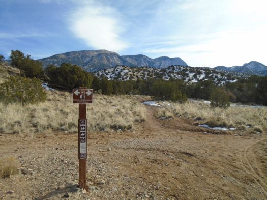
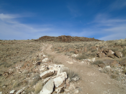
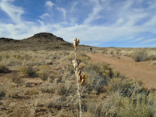
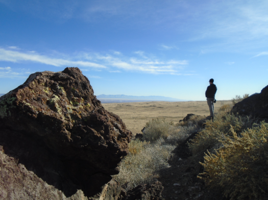
We came to the foothills of the Los Pinos Mountains for a four-mile hike using arroyos and old roads.
We used arroyos and old roads, and we hiked four miles, but we did not find the red rock butte or overlook that the route promised.
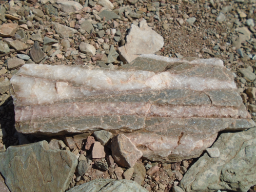
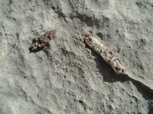
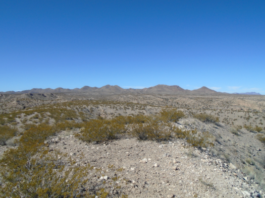
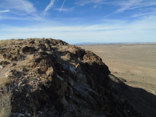
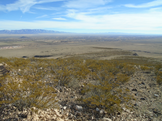
Now we look for fossils in the limestone layer on top of a ridge. Red fossils, with dissolved iron replacing rock.
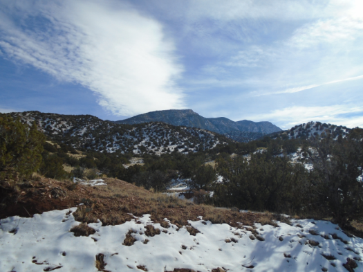
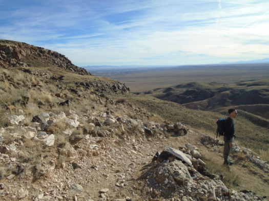
Rocks and slabs clunk under our feet. The Manzano Mountains stand tall and gray against blue sky. The sun rakes them. When you’re in the Manzanos, lush microclimates abound. But from here they look naked, barren. A huge plain slopes to the west.
The red fossils begin to appear. They’re tiny. Million-year-old tube worms?
We sit on a rock slab. Next to me, a tiny fossil edged in red. Its interior sparkles like a geode.
Red fossil on left, “geode”-ish fossil on right
The sun and the breeze lull. Clouds roll shadow over the Manzanos and the mesa next to them. Silence falls. Vehicles whoosh toward Abó Pass.
When we stand up, after a long time, I see another tiny geode fossil in the rock where I’d sat.
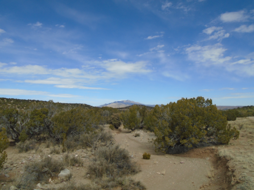
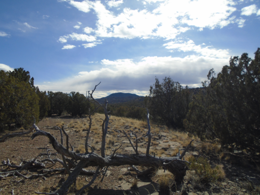
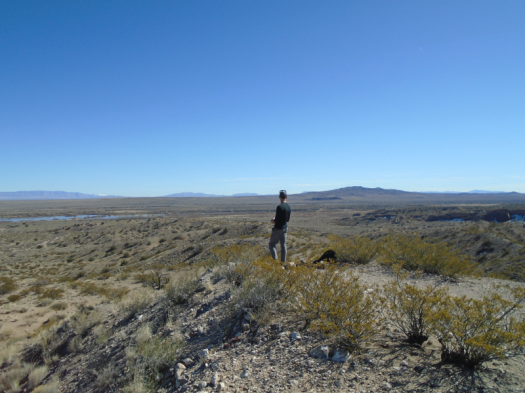
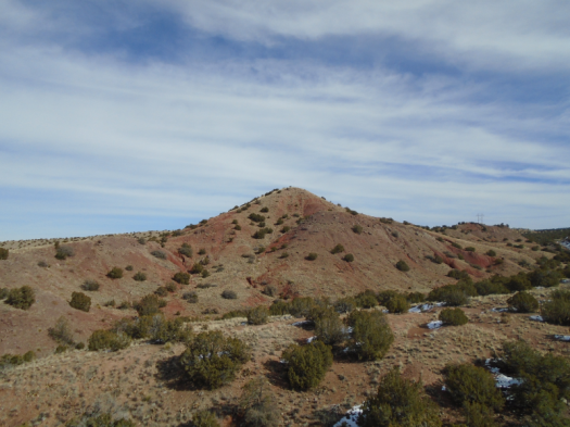
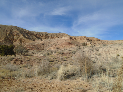
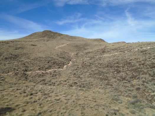
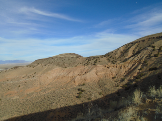
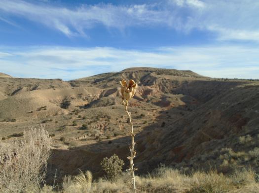
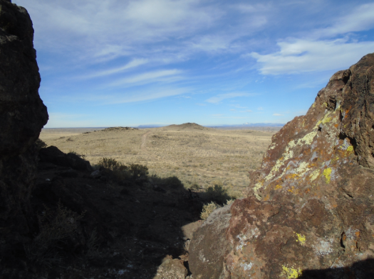
The walk back to the car yields an impressive view of Cerro Montoso. The hike I might never finish.
The mountain looks gentle, draped with evergreen. A seam bisects it: a fence running straight up. The Sevilleta National Wildlife Refuge boundary.
Cerro Montoso has another name in our house: “scary hike.”
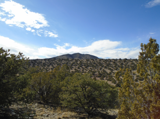
Cerro Montoso
We came out here years ago to hike it. We saw more scat than I had ever seen in my life, most of which we could not identify.
On the way up, we passed an elk carcass. A mountain lion had torn out its throat.
The strenuous climb up the mountain took us so long we feared we’d run out of daylight. The sky hung low, ominous, but too flat and lazy to even threaten rain.
About two-thirds of the way up the mountain, we decided to head back down.
The path up the mountain isn’t a trail. It’s a steep, uneven corridor a few feet wide, barbed wire at your right elbow, thick cacti at your left.
Your first move in a mountain lion encounter, if you want to live: back away slowly.
It would have been almost impossible on that steep slope, with obstacles on each side.
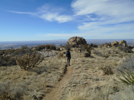
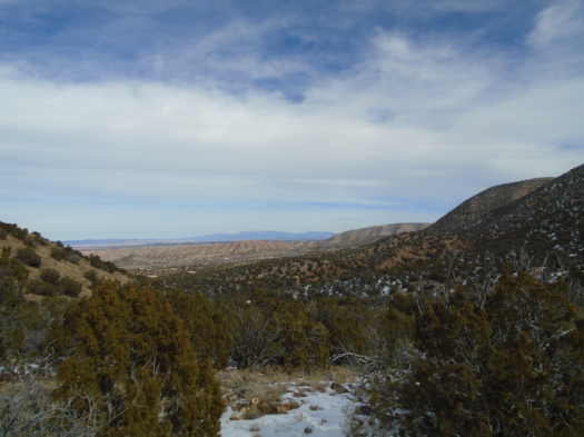
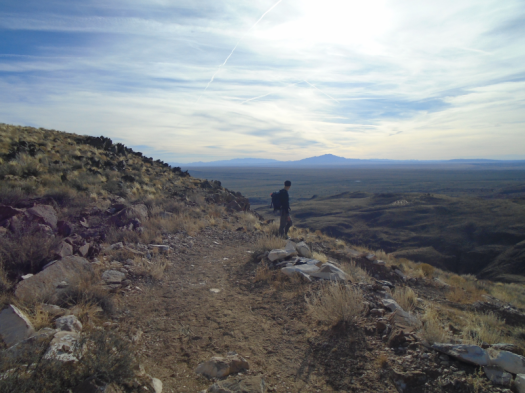
In hindsight, I was not ready for that hike. I may never be, though I think often about trying it again one day. We had an incredible view of those mountains and plains as we climbed. The view from the top would be incomparable, and it’s one very few people have had.
I’m glad we found another route to explore these irresistible pinon-juniper hills. One with wide-open vistas, where you can see what’s coming – and where you could find escape routes if you needed them.
And I’m very glad we didn’t see anything more threatening than an elk foot.
Hike length: 5.5 miles
Difficulty: moderate
Trail traffic: none
Wildlife spotted/heard: crows, blue jays, cottontail, chipmunk, mountain chickadees
Notes:
This hike is from “60 Hikes Within 60 Miles of Albuquerque,” by David Ryan and Steven Ausherman, and it is the source of my information about why the fossils on the limestone ridge are red. Cerro Montoso was in an earlier version of the book, but has been removed. Maybe it scared them too.
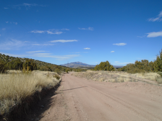
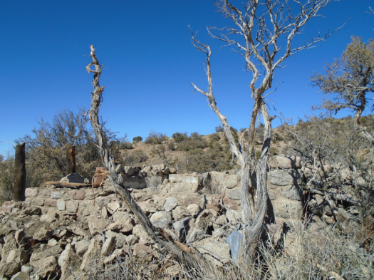
Abundant and beautiful primitive campsites line the road that takes you to the limestone ridge. The fire pits in the campsites we saw had not been used in quite a while. This land clearly gets very few human visitors, and we speculated most of them come to hunt.
Parting shot. I’d be scared to spend the night out here, but I hated to leave.
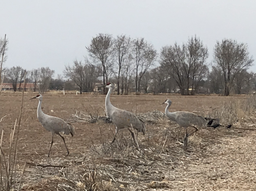
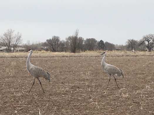
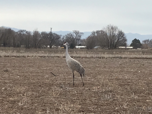
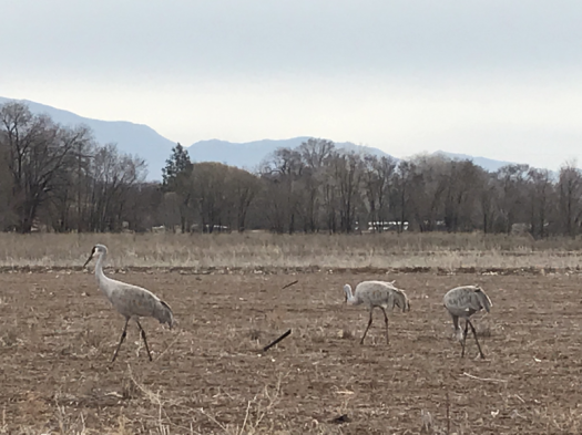
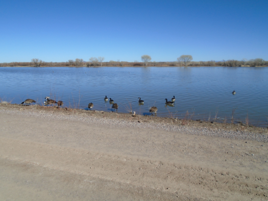
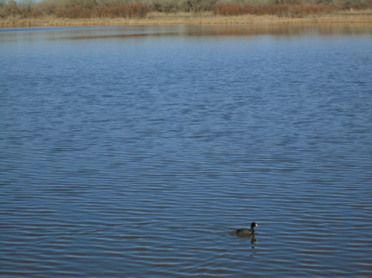
When I approach cranes, they usually sidle away in silence, as if someone had passed gas. These, though, stand their ground. Snacking, squawking, traveling slowly.
We’d heard their rusty call as we walked the Los Poblanos Open Space paths, but couldn’t see them. We figured they were high in the pre-storm atmosphere: cloud-cranes.
As we walk away, a bleat. We wheel. Five more cranes fly over, bank with wings extended for landing. Prehistoric frisbees.
More here than we saw 90 miles south, last week. A tractor traces neat rows on the field’s edge. The crops’ remnants will feed the cranes next year.
We reach the trailhead an hour after we begin our search.
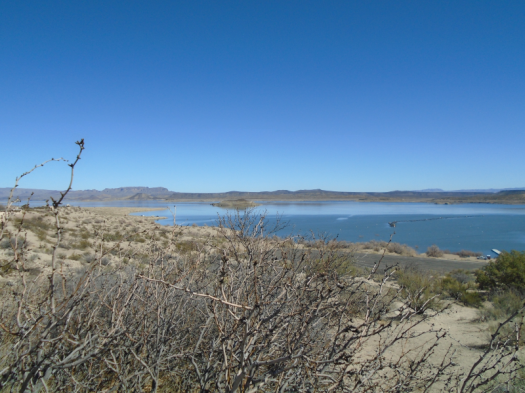
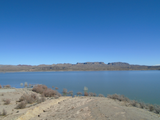
We’ve backtracked by car and foot on the back roads of Elephant Butte Lake State Park.
We hiked nearly half a mile from a campground to a cliff overlooking the Fra Cristobal Mountains. Lovely, but not the trail.
Near the visitors’ centerNope, not the trail
We get back in the car yet again to start looking for a different trailhead. My even-tempered husband’s level of grouchiness is now approaching mine. Then he spots our destination: West Lakeshore Trail’s northern terminus, tucked in the opposite corner of the campground from where we were searching.
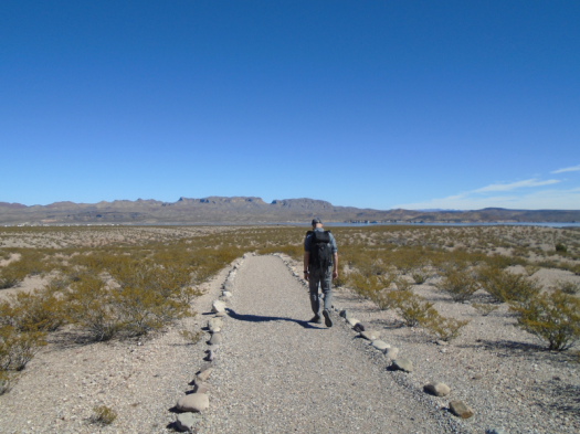
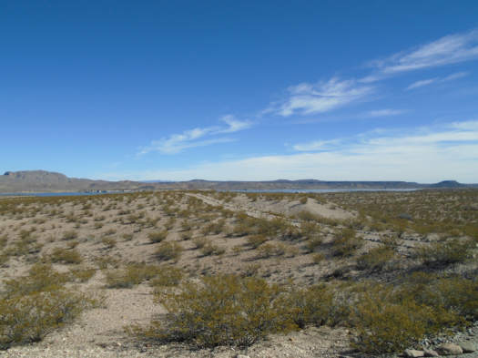
The trail snakes a neat, pristine rock line over mesas bushy with creosote. Except for the footsteps in the sand, it looks like the trail builders just finished yesterday.
We round a bend. The lake’s turquoise glints through a notch in the cliff. The trail winds over a ridge, then drops us into an arroyo. The creosote stands as tall as we do. Eight-foot yucca stalks loom.
We make the only visible creature movements on this treeless landscape. All others lie burrowed in the cool and dark. Sun rules the land. Occasionally, a lizard scrambles from one bush to another.
The sky hangs bright and cloudless. The air is so clear I’m sure I could reach out and touch the Fra Cristobals.
As we hike back, the other mountain ranges on the horizon slot themselves into my mental map. The San Mateos with their thumb of rock. The jagged Magdalenas, last week’s snow dusting the peaks.
Back at the trailhead, my husband cools off with a Santa Fe Pale Ale from the trunk.
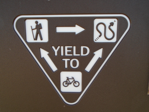
I take a picture of a sign honoring the unseen occupant who rules this landscape.
Hike length: 3 miles, plus .75 miles out to the cliff
Difficulty: easy
Trail traffic: only one other human
Wildlife spotted/heard: lizards, raven
TIP: The South Monticello campground is gorgeous, quiet and clean and would be a great base for doing this hike at sunrise or sunset when it’s cooler. You could go as far as you wanted – the trail is 12 miles.
Around us, mountains stand in states and shapes of erosion.
The Chupadera Mountains got tired of mountaining and relaxed into rock waves.
The San Andreas Mountains got tired of mountaining and let a giant creature take jagged bites off the top.
Unfamiliar mountains in every direction.
Sage plain pastels. Blue marsh.
360 degrees of stimulation.
We’re at the highest point of Canyon National Recreation Trail. Creosote and sand stretch back to the Chupaderas.
The Chupadera MountainsThe marsh is at left
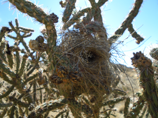
Solitude Canyon brought us here. Nests, burrows, bird droppings lined the ravine’s rocky walls.
It’s a holiday weekend, but the canyon earned its name.
Short, efficient switchbacks lifted us to a panorama that looks like it should have required way more than 30 feet of climbing.
Blue finds new gradients, unbroken by cloud.
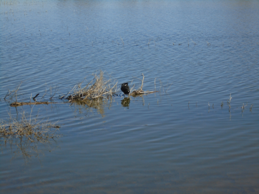
Silence. A few cranes call from the marsh. The end. In November there were thousands.
Later, at the marsh, two harriers wheel higher until we can’t separate them from the blue.
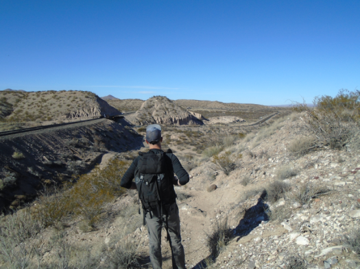
Coming down from the Marsh Overlook Trail; railroad tracks and Highway 1
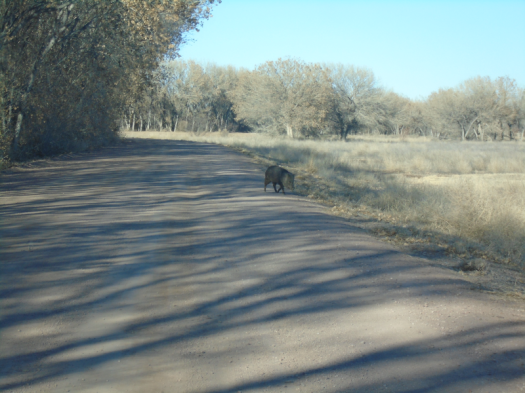
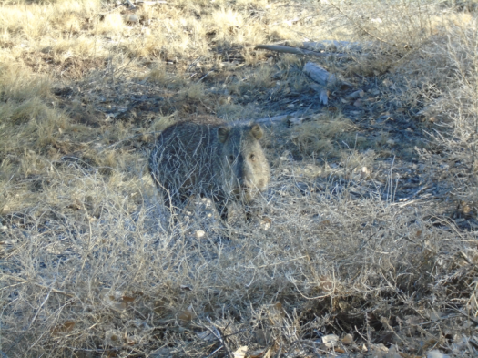
The first javelina we’ve ever seen trundles across the road in front of our car. He munches leaves on the shoulder, stares at us. We hear him snuffle as he walks away.
Why did the javelina cross the road?
The refuge is so vast, the land so open, you forget cities and towns and mountains that are tall. The entire world becomes creosote, rock, water and creatures.
I’m angry about the brisk wind shushing across the hills. The forecast called for zero wind. Being out in the wind is one of the biggest risk factors for me having a giant gusher nosebleed this time of year. Now I’m worried.
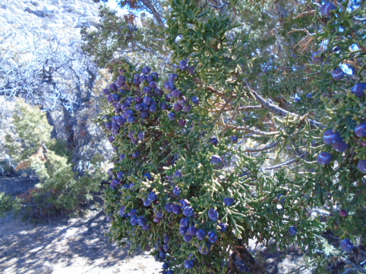
I’m angry because I’m tired of worrying about my health. Due to my extreme juniper allergy, I spent six days of January in bed, three with a fever.
I’m also angry at someone. Two people, actually, neither of whom are here.
But I have made it to a trailhead, so we’re going hiking, anger notwithstanding.
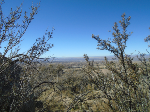
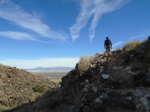
We’re in an open bowl, city on one side, the southwest flank of the Sandias on the other. Our destination is a human-painted eye on a rock reached by a steep climb. As we ascend, we pass a man huddled under a juniper.
We climb to a saddle, then make a long, steep corkscrew up. Tijeras Canyon and the Manzanitas and Manzanos emerge below. Two people in white T-shirts climb a red rock outcropping across the canyon.
The white dot on the red outcropping is a person
Blue blazes down on us. The sections of the climb surrounded by boulders warm us. The parts on a high ridge huff cold wind in our faces.
I crest another ridge, see a crumpled mass of clothing, and shudder. A sleeping man? A dead man? Just some sweatshirts someone, probably the man under the juniper, left behind.
We reach a high landing. What little vegetation exists here tosses in the wind like we’re on top of Everest.
I gauge the final climb to Eye of the Sandias. It will mean at least half an hour with that wind in my face. That doesn’t seem wise, and I don’t really care about missing the rock. I’m in the most compelling scenery.
Nothing looks the same going down through the warren of social trails. My husband and I argue about the right way back. I think he’s going too far south. We cliff out repeatedly, then descend a path steep enough that I slide down a decent chunk of it on my butt rather than even trying to stay upright. (Today may have been last rites for my five-year-old REI pants.) We emerge north of where we began this morning, indicating that my husband had been headed toward the right trail.
As we get close to the car again, I catch myself smiling. There are worse things than being out here under rock and sky.
That is, if you have someplace sturdier than a juniper to go when it’s time to get out of the wind.
I look out at a rust-red hill, streaked with more purple.
I’ve already seen one pinyon jay, then a flock of 20 or more, dart across the trail.
And I’ve questioned my decision to hike alone without bear spray, thanks to two big piles of bear scat. (I thought they were hibernating…)
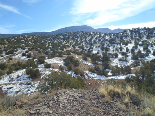
I’m hiking Strip Mine Trail in the Sandia Mountain foothills in Placitas. Another surprise: even this sunny, exposed trail has a good bit of snow and mud today. The snow probably totals two inches, but it’s enough to make the climb of about 1,000 feet a deliberate clomp.
Hills recede. The Jemez and Sangre de Cristo ranges, covered in snow, appear on the horizon. Watercolor Placitas below, mesas topped in green.
I take a wrong turn, end up on a path local residents take from home to wilderness (lucky them.) I retrace my steps, climb again. At last, a giant cairn, a lunch spot clear of snow.
I sat down to my sandwich wiped out, but fortified by peanut butter and honey, I want to go farther. I follow a few footsteps, then deer tracks, then nothing. A smooth curve of snow wraps around the side of the mountain. The ultimate temptation. But unsafe without spikes.
Another side path beckons as I head down. It’s sunny and relatively dry, but insanely steep.
Instead I return through the mud and snow only slightly faster than I went up. I sit on a rock in the winter sun until cloud takes over.
When I arrive at the trailhead, my boots are as purple, red and white as a Jackson Pollock painting.
This climb appears to end in the blazing blue sky.
That’s OK with me, as long as it ends.
We began in the “sherbet bowl” at El Cerro de Los Lunas preserve. The trail there weaves drunkenly through stripes of peach, cream and pink sand, changing course to avoid erosion.
Inside the sherbet bowl; overlook shade structure on horizon
The trail meanders up some hills, then forces your body to downshift for what feels like an endless section of 45-degree slope. On sand.
Finally, solid rock appears underfoot, the grade lessens and the climb ends in the sky. At the preserve’s northern summit, a jaw of volcanic basalt, a view straight down into a chunk o’subdivision. From here, four separate mountain ranges look like one unbroken chain: SandiaManzanitaManzanoLosPinos.
From the northern summit; Mount Taylor on horizon
The trail plunges into a valley inside El Cerro’s volcanic cone. This means – you got it – another climb out.
Trail we just descended from the northern summit is in the middle of this photo.Climbing out of the valley with a view of the Manzanos
The landscape’s changes take my mind off my thigh muscles. Creosote waves break all the way down to the ribbon of I-25.
We crest and descend again. More basalt teeth, undulating gray hills, freight train whistles from the BNSF switching station in Belen.
Sierra Ladrones on horizon, Magdalena Mountains behind them
We make a long loop around the far edge of the sherbet bowl, hear laughter from inside it. Two women on horseback navigate the bowl’s curves.
The steep descent goes quickly, helped by wooden steps pressed into the sand.
My husband dawdles on the long hike out of the preserve, volcanic rocks constantly catching his eye.
I keep looking back up at the northern summit and thinking, “I was up there.”
Hike length: 7.7 miles
Difficulty: moderate
Trail traffic: moderate, light on upper slopes
Wildlife spotted: jackrabbit, flicker, crows
TIPS: One of the first things you see when you enter the preserve is a sign warning you to stay on the trail because of rattlesnakes. And it’s not labeled on the trail itself, but the steep connector we took to the northern summit is called Rattlesnake Trail. This hike is best in the cold months when rattlers aren’t out. Unless it is actively snowing, it will be hot.
My husband feels warm air puff through the cave, sees condensation form on the barnacled green ceiling. He thinks it all stems from a volcanic vent.
I’m standing outside the cave. I don’t feel anything.
I’m standing outside the cave because I fear caves.
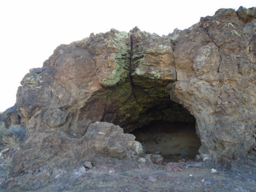
Its stacked black basalt entrance looks plenty dramatic enough for me.
But I’ve come all the way out here, and I’ve always wanted to experience a volcanic vent … oh, for God’s sake, I should just step inside the cave.
I do. Barely.
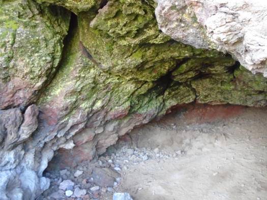
Warm air brushes my face. I move, and cool dampness drifts from the ceiling. My husband points out an opening, gaping red, that goes further back than we can see.
Green stuff and red rock
It’s a natural wonder to marvel at. But I’m way too creeped out to marvel.
I step back into the world, where sun, rock and air do the things I associate with sun, rock and air.
We’ve encountered the cave at Bond Volcano at Petroglyph National Monument. If you go to the Volcanoes Day Use Area, hit all the dormant volcanoes everyone else goes to and keep going, Bond stands about three miles from the entrance gate.
We tried to hike out here last year, but took the wrong dirt track. Today, we knew we’d found the right path.
On the road to Bond Volcano
We did not know it would put us on a collision course with the underworld.
“That’s one of the coolest caves I’ve ever seen,” my husband says. He’s always found hiking at the volcanoes boring, until today.
I have always found everything I needed here on bright winter days: warmth, sun-bleached grass, rock and views.
This cave encounter, though, has me so confused.
Is this an omen? Will my 2020 be marked by dark, scary things?
Will it be a year full of marvels my own mind couldn’t have conjured up?
Nature created this place with no thought of me, yet here I am, scrambling to locate myself in relationship to it.
Hike length: 6.5 miles
Difficulty: moderate
Trail traffic: moderate to Vulcan Volcano, very light thereafter
Wildlife spotted: crow, loggerhead shrike, sparrows, lizard scrambling into a burrow