I knew it was the last time.
Knew it as I rolled past the first trailhead. Eight cars already.
But there’s so much space once you get out there –
A ninth car pulled up.
No.
Knew it when I arrived at the second trailhead.
Empty.
Had I missed a closure order? I searched the Internet. Nothing.
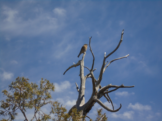
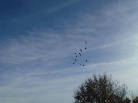
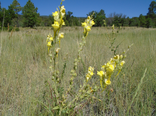
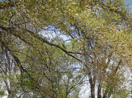
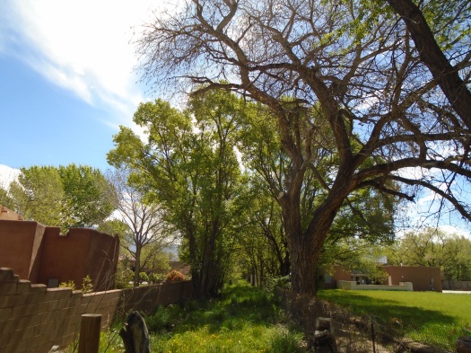
Knew it as I watched and listened to bluebirds and robins at the overlook.
Knew it as I counted the people I passed.
26.
They had reached the trail from other access points, or started after me.
The trail was wide. I could see who was coming and move aside, give us both six feet of distance.
But I knew the calculations would cease to add up.
The longer this lasts, the more people will be out here, unless trails are closed. It will become harder to keep distance, avoid putting myself and others at risk.
The beautiful 20-mile drive from my house to the mountains had become an ethical minefield, my body a potential vector for the spread of disease into a different community.
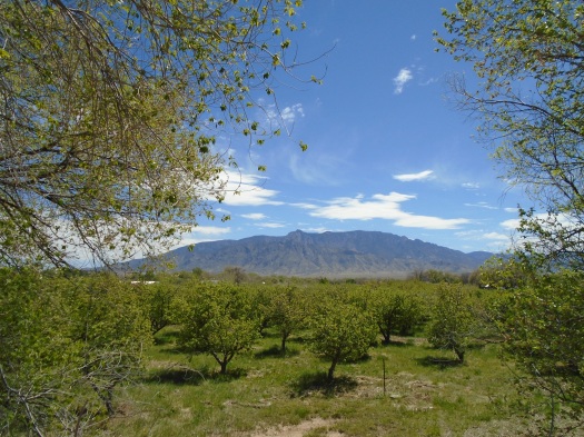
Of course, I knew places so far out the risk of meeting anyone would be low.
But the other risks of a remote trek right now are too great.
One misstep by a backcountry skier last week touched off a search and rescue that put more than 50 members of a rural community at risk of COVID-19 exposure.
So I knew it was the last hike, until social distancing ends.
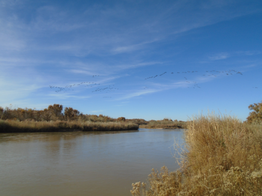
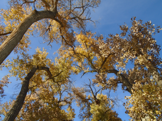
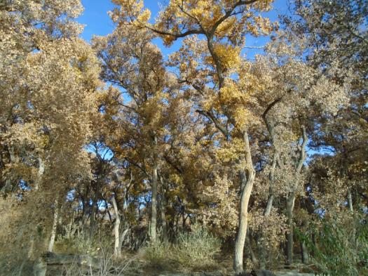
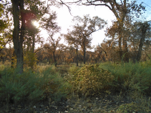
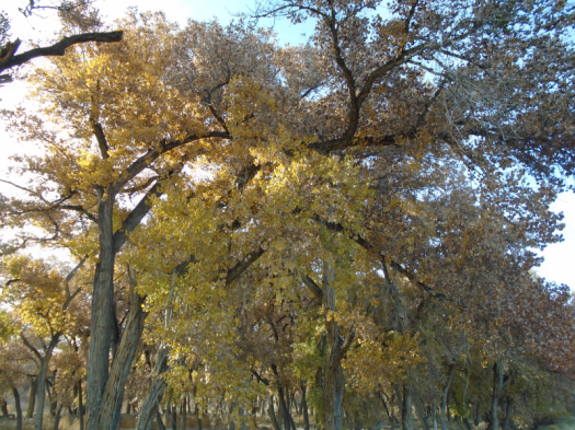
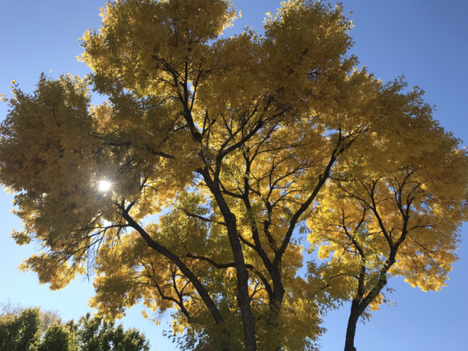
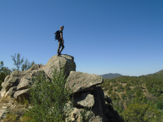
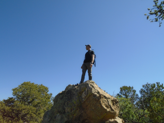
Goodbye mountains.
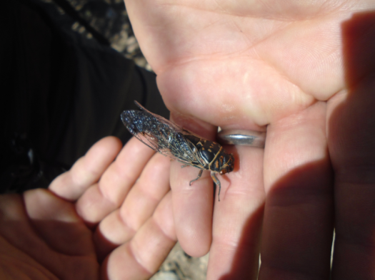
Goodbye bluebirds.
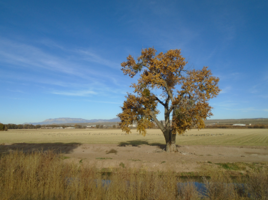
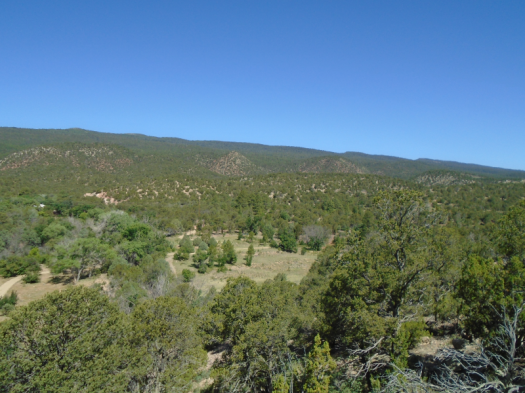
Goodbye pinon and juniper.
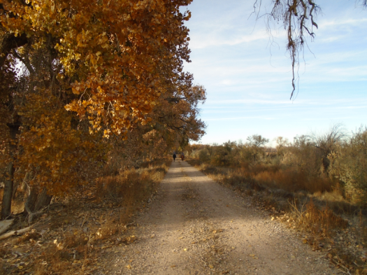
Goodbye, euphoria of a long solo hike.
Goodbye to one more outlet for the stress of leading a newsroom covering the hardest, most important story of our lives.
I said all those goodbyes.
Yet all week, I grasped for any way I could keep hiking.
I unraveled my decision, made it again.
But maybe –
Who am I if I don’t go to the mountains every weekend?
I need to keep my mountain conditioning, so I can jump right back in when this ends. Like it never happened.
But there will come a point when clinicians have to decide who will get lifesaving measures and who will not. I do not want to put myself or anyone else on either side of that equation.
There will never be a time when it is like this never happened.
Friday morning, the city sent a press release, urging residents to use lesser-known hiking trails instead of the jam-packed bosque and foothills.
Could I find a miracle in this list, a place where I could ethically go?
One trail listed was the quiet place with the empty parking lot where I’d seen 26 people.
One was the remote trail where, a week earlier, I’d seen 40 people.
I had to assume all would see their traffic at least double.
I could not in good conscience increase that number by one more.
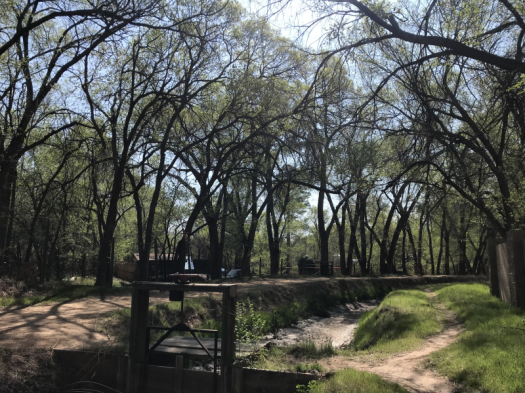
I would walk only places I could reach on foot from my home until social distancing ends.
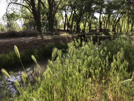
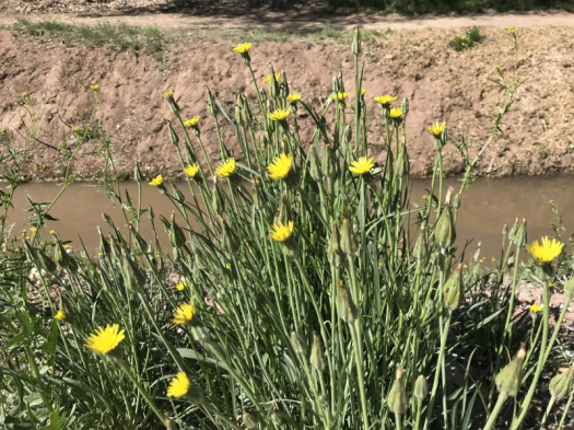
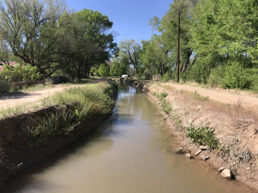
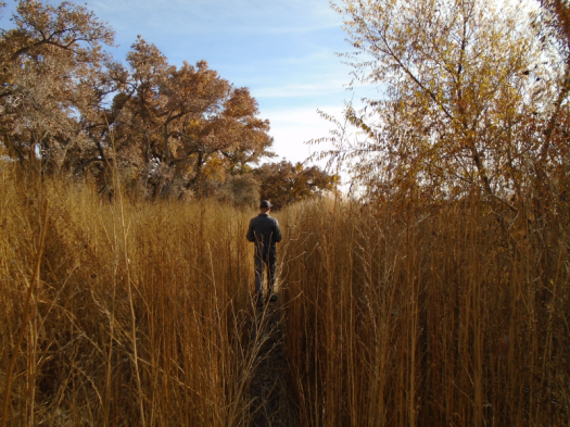
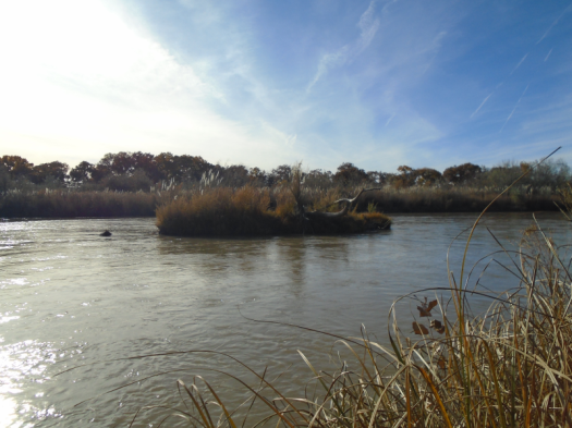
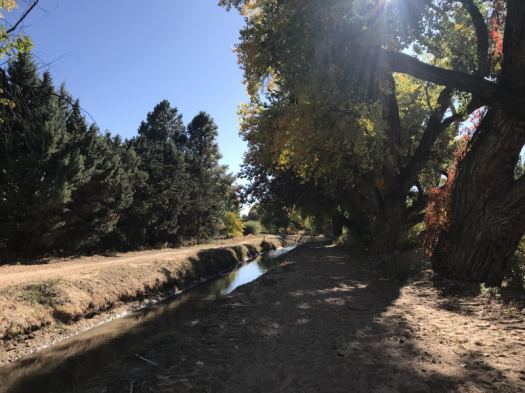
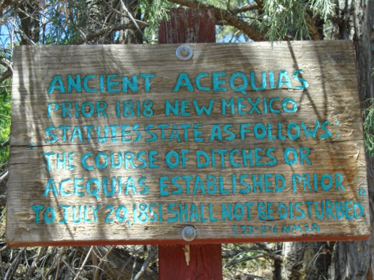
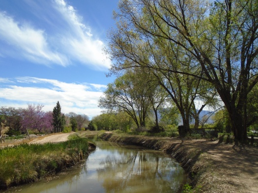
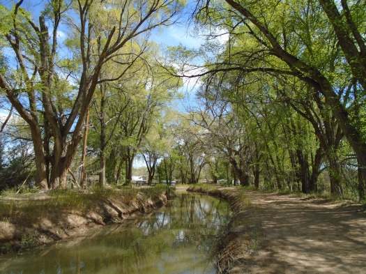
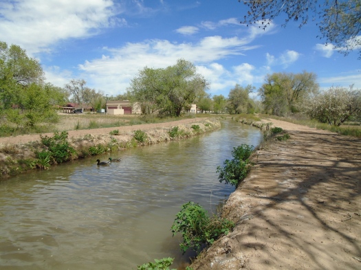
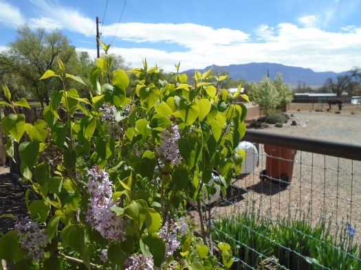
I live in the Rio Grande valley, bursting green with spring. I can choose paths with relatively low risk of crime. I can travel wide acequias with plenty of room to distance.
I wish I could tell you it didn’t feel like loss.
All my worries about walking in the city came true Saturday. Everyone was on the acequias. I pinballed like a video-game character to keep six feet of distance.
Runners appalled me.
I veered onto the lip of a ditch to avoid a runner coming from behind who wouldn’t yield six feet.
“I was looking at that wisteria!” she chirped.
That will be such comfort when we’re fighting over the last ventilator in New Mexico.
I spent most of the walk spitting fury, near tears, wondering if leaving my house for outdoor exercise could ever be safe or ethical during this time.
Sunday morning I woke thinking of a small open space in the East Mountains that hadn’t been mentioned by name in the city press release.
Wouldn’t it be safer…quieter…less crowded…
A column by the director of New Mexico Wild in the morning paper gave me the same answer, the only answer.
Stay hyperlocal. Walk in your neighborhood. Now is not the time for a mountain trek.
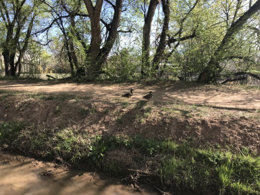
Sunday morning the acequias felt like church. Traffic on the paths had dropped 60 percent from the day before. Maybe everyone was streaming a religious service, or at Costco fighting over toilet paper.
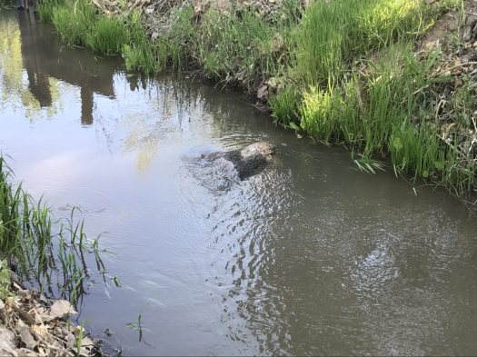
On a quiet, green path, a splash. Two ducks emerged from the water, clambered onto the ditch bank, waddled around the new world.
I’ll be tempted, again, by the illusion that there’s another choice.
At some point, I’ll give out, take a day off midweek.
It’s Wednesday morning. Maybe no one will be out there –
No.
It couldn’t hurt to just drive out and see –
No.
Goodbye, mountains.
Goodbye, bluebirds.
Goodbye, pinon.
Goodbye, juniper.
Goodbye, long solo hikes.
Goodbye.
Goodbye.
Goodbye.