A new mystery every time on North Mystery Trail

Leaves, wildflowers, grasses wrap around me.

Evergreens rise to a peak of punch-me blue.

I sit at the bottom of Madera Canyon on North Mystery Trail.

DSC03802.JPGDSC03796.JPG

We chose this path for its deep canyons, cool breezes and few visitors.

DSC03786.JPG

DSC03805.JPG

The tradeoff: we must hike nearly 1,000 feet back uphill to the trailhead on a rare 100% humidity day.

I set the pace – slow, after two long breaks from the trail during Covid-19.

An hour later, I shuffle my jelly legs into the most beautiful meadow in the Sandias, flop under the first flopping tree I see.

DSC03788.JPGDSC03790.JPG

DSC03816.JPG

Sky-sized cloud pillows glide over Palomas Peak, spread light and shadow.

A vulture wings. One jay bleats in the evergreen ridge below the peak. Cool air shakes loose.

It’s nearly monsoon o’clock in mountain time. We should get back to the car.

I stand, and my jaw drops (as much as a masked jaw can drop.)

We’d been sitting under a medallion tree. A mystery person took core samples from trees along this trail, then put up medallions naming events from the tree’s date of germination.

What are the odds that one of the few native Mississippians in New Mexico would happen to flop under the “Mississippi, the 20th State Tree?”

IMG_4110.JPG

I consider that on the last half mile of the trail. Wild grasses press in close. Trees tangle above. The undergrowth, the humidity and the mask fog my glasses so much the world around me blurs.

It looks like a mountain swamp, with peaks and steep canyons – a Mississippi fever dream that could only be found in New Mexico.

DSC03825.JPG

Hike length: 5+ miles

Difficulty: moderate

Trail traffic: very light

Wildlife spotted/heard: hummingbirds, butterflies, beetles, blue jays, harrier, downy woodpeckers, sparrow, chipmunk, cottontail, crow, vultures, doves

Gutierrez Canyon, changed and unchanging

6-17-20

Green tangles green.

Oak leaves pulse chlorophyll. Juniper twists. Ponderosa towers.

The Sandias roll emerald behind the trees.

DSC03757.JPG

I feel safe here.

Meditating at home this morning, knowing I would hike alone today at Gutierrez Canyon Open Space in the East Mountains, all I could think about was rattlesnakes.

But nothing rattles. Spotted lizards’ long tails slide through leaves.

I seek the fantastic overlook I’ve enjoyed here before. But new “private property – stay on trail” signs dot the upper path. Nearby, a dog barks so loud and long I fear he might faint.

The overlook eludes me. The valley a glimpse, instead of everything.

DSC03758.JPG

I see only five people. I stop mistaking bees and flies for human voices.

Heat builds. So does a breeze that remembers cool.

Cooper’s hawk, phoebe, butterfly.

I find no harm here.

Hike length: 5.5+ miles

Difficulty: moderate

Trail traffic: low

Wildlife seen/heard: phoebe, spotted towhee, Cooper’s hawk, butterflies, beetles, grasshoppers, doves, lizards

DSC03754.JPG

Angry Raisin seeks space at Golden Open Space: A social distancing story

Ten miles off Highway 14, down a long, narrow, twisty road, a full hour’s drive from Albuquerque, remote land beckons.

My little car crests a hill above the parking lot. It has at least 10 cars in it.

I burst out laughing.

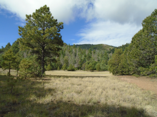
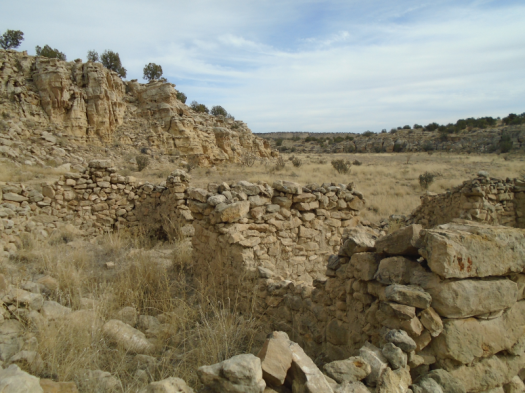
I’ve been down La Madera Road to Golden Open Space in the East Mountains at least five times. Four of those times we saw no other humans.

But every human in the world right now has the same need: to get the hell out of the house.

Last night, one week into social distancing, I flung a still-whirring electric toothbrush against the wall. It felt good, but nothing broke, so I went outside and hurled a commemorative glass from my college’s homecoming against the side of the house.

The sound of glass breaking brought enough catharsis that I decided I could get through one more night in my house.

Yesterday I saw a tweet: Your quarantine name is how you feel right now plus the last thing you ate from the cupboard.

I am Angry Raisin, in desperate need of a safely socially distant distraction.

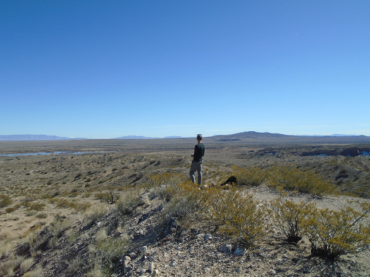
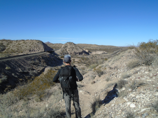
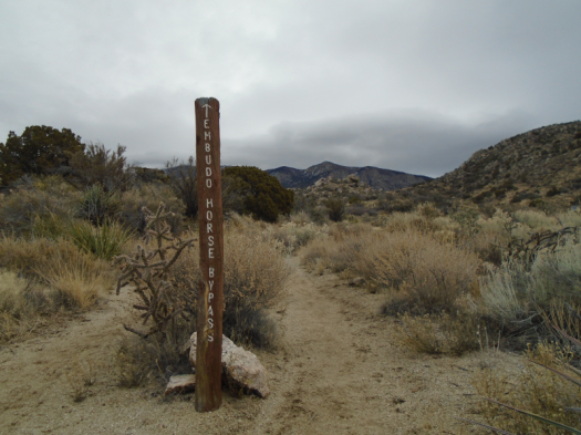
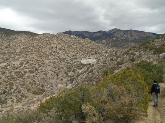
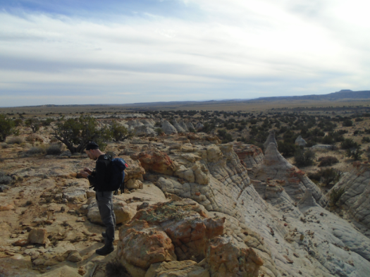
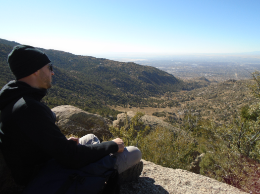
My hiking and life partner will not be traveling long distances on his left foot for a while. So I headed out for a solo hike at Golden Open Space, which turned out far from solo.

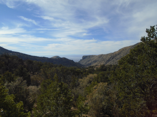
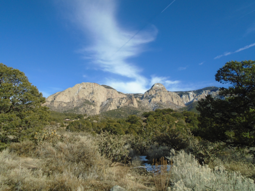
One moment I’m marveling at the fresh snow coating the Sandia Peak ski runs a few miles away.

The next I’m calculating how I will stay six feet away from all these people and their dogs. Thinking I should go much farther afield next weekend, farther than I should go alone, and who can I invite to go with me?

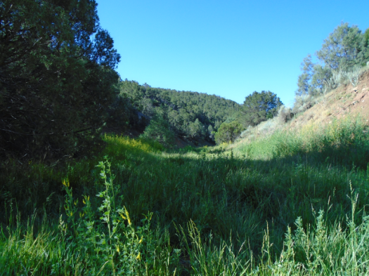
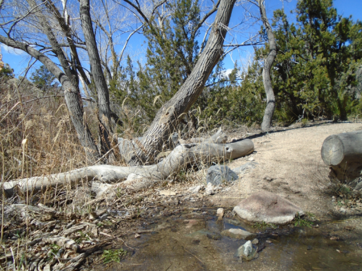
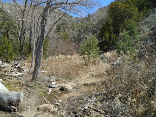
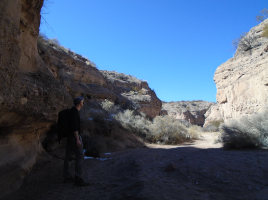
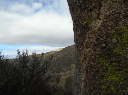
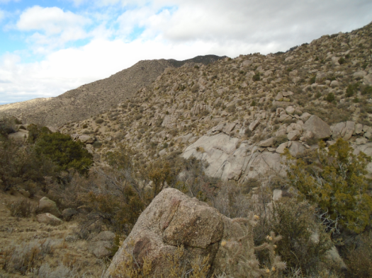
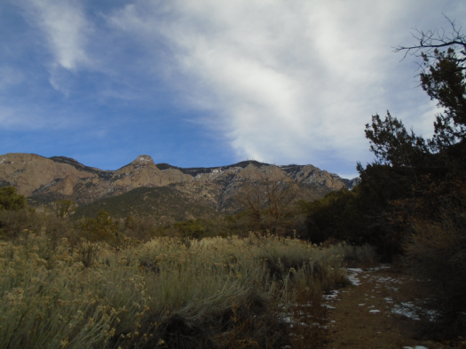
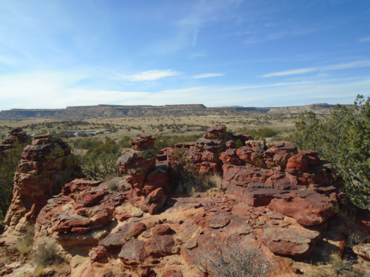
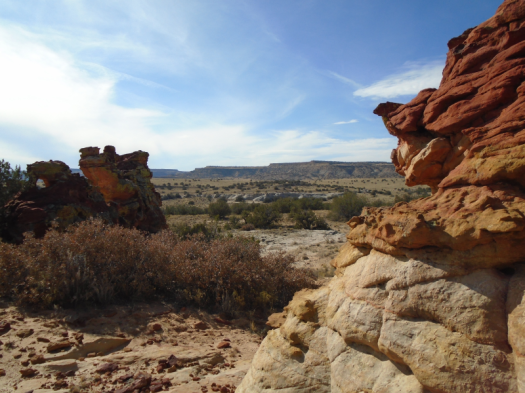
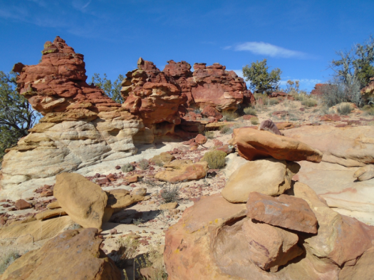
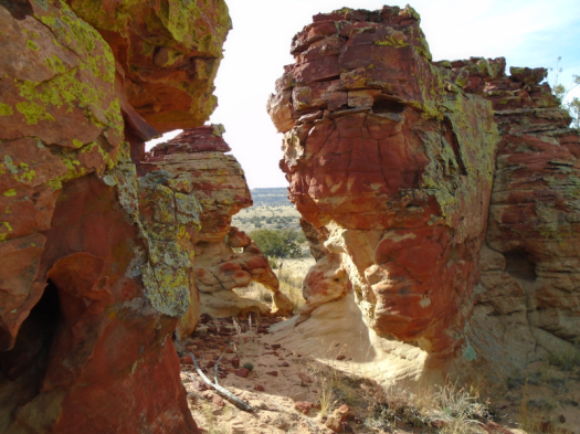
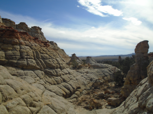
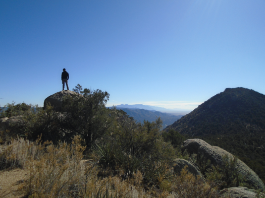
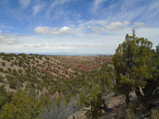
I drop into rust-red hills. Step six feet off the trail to let a man and his dog pass. Notice I’m right above the magical red-and-blue mystery arroyo. Clamber down, thinking I’ll shortcut to where the trail crosses the arroyo.

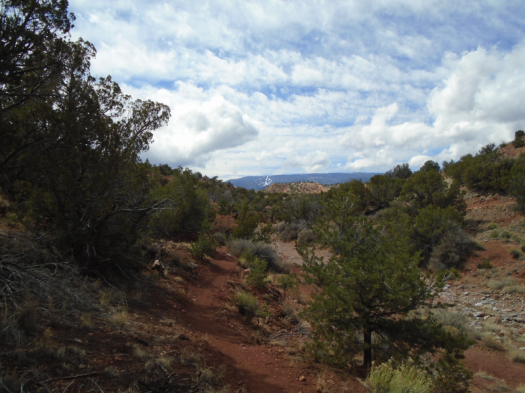
But that could take all day, as the trail slithers through a warren of arroyos. I retrace my steps, climb back up the bank to the trail, look down at the arroyo’s colors from above. Step aside for people and dogs and bikes.

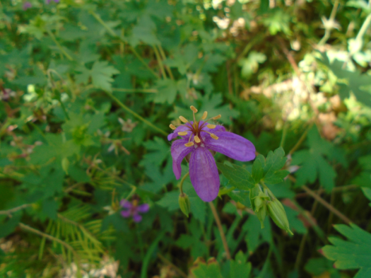
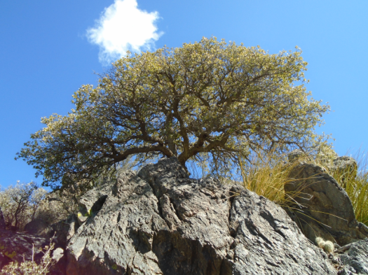
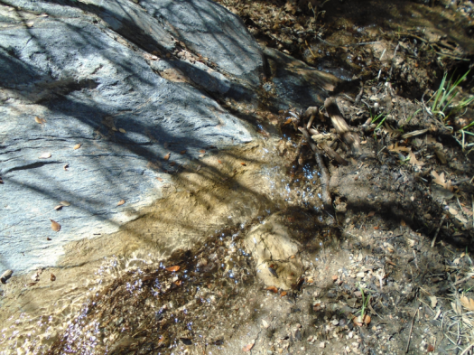
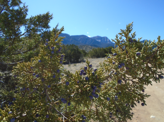
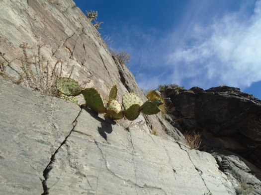
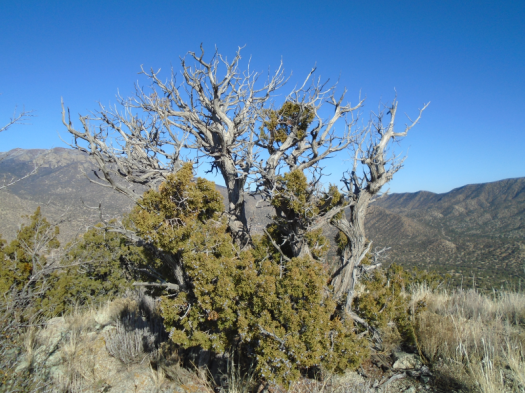
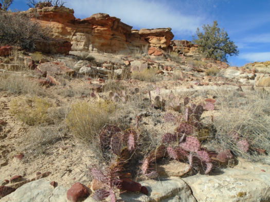
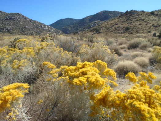
Colors pop under bright blue sky, puffs of cloud. Fallen juniper berries glow lavender on red ground.

DSC03581.JPGDSC03587.JPG

DSC03605.JPG

DSC03612.JPGDSC03615.JPG

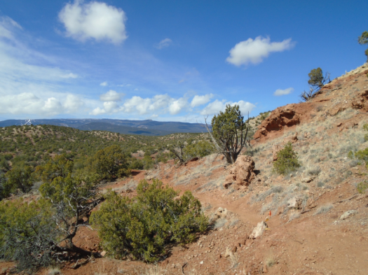
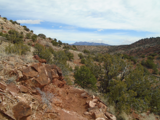
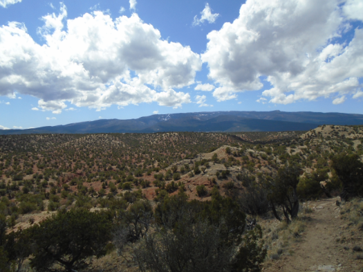
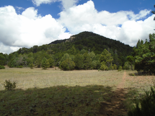
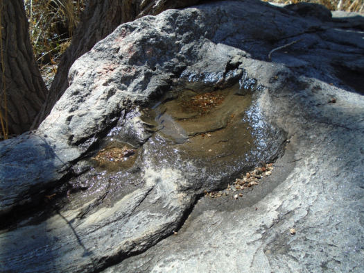
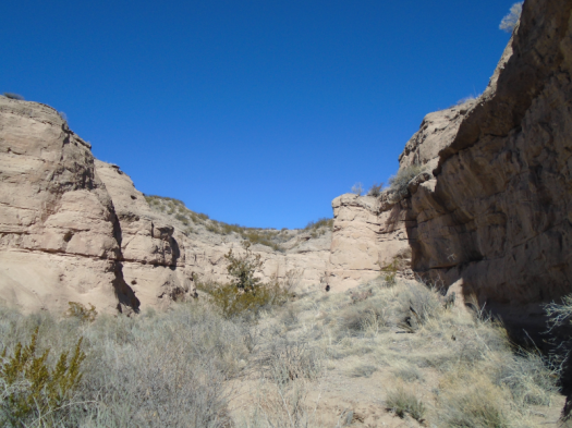
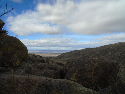
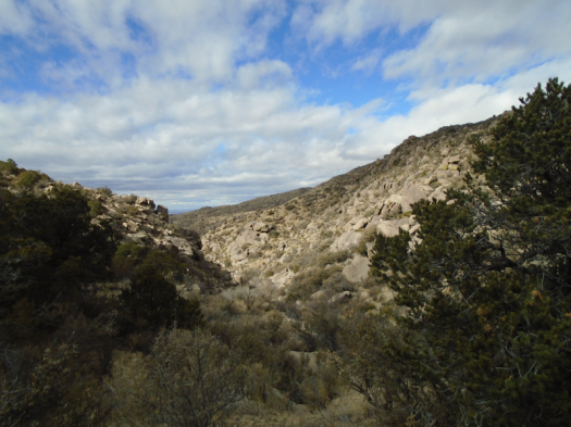
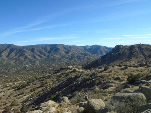
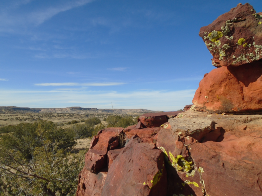
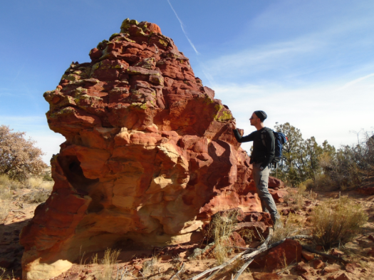
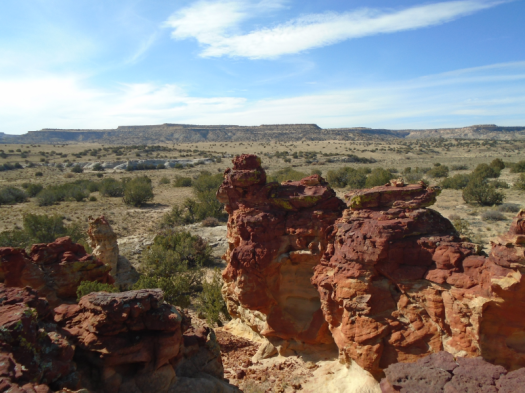
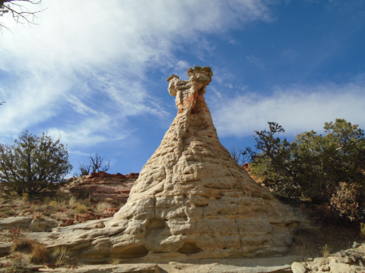
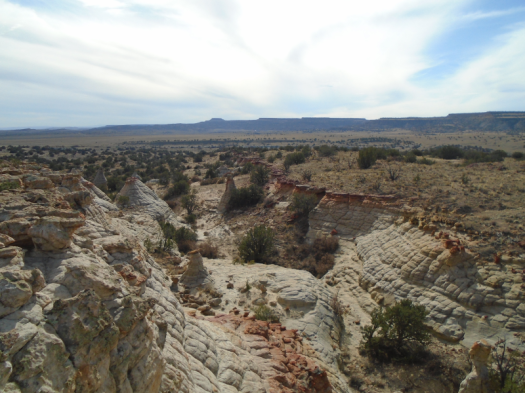
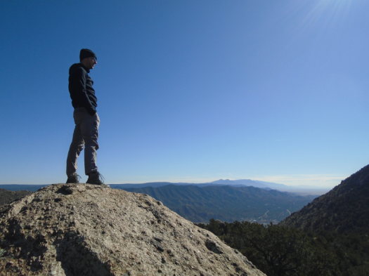
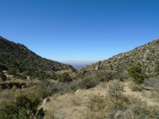
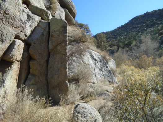
I reach the big, gnarly Arroyo Seco, the deep canyon yawning from the overlooks I passed. I cross Arroyo Seco for the first time. Navigate the trail up through red rock with white polka dots, deep-purple soil under my feet.

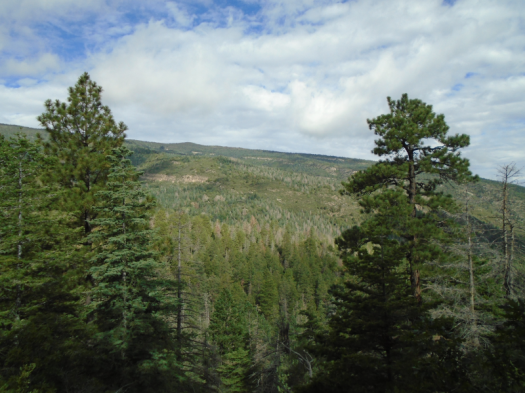
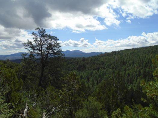
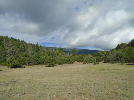
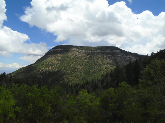
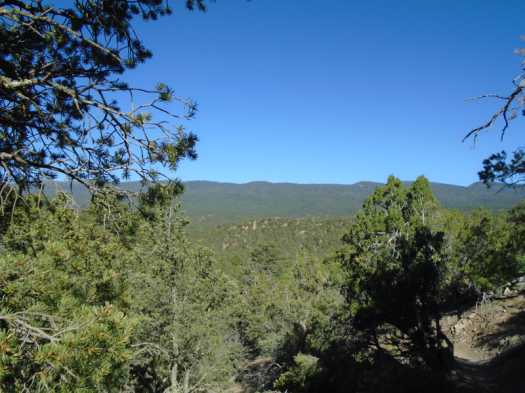
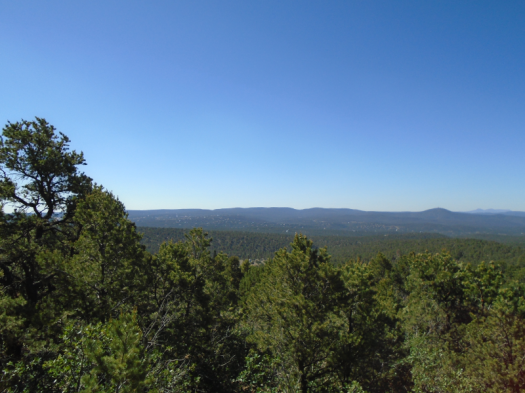
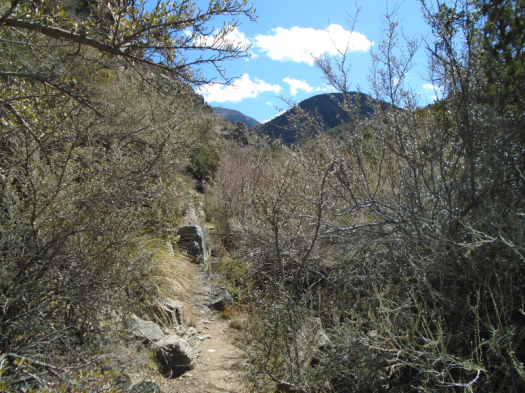
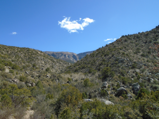
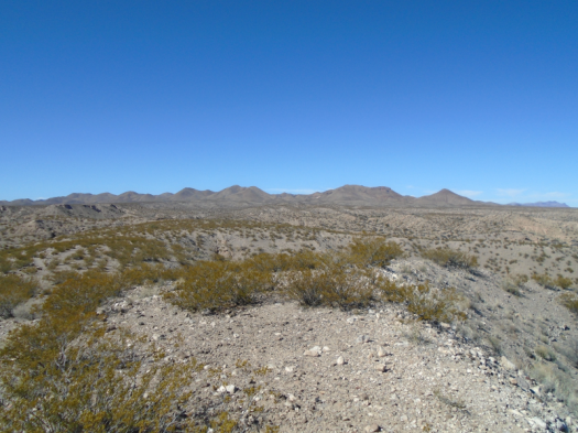
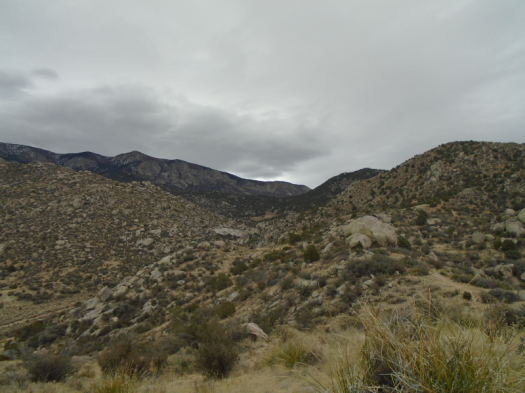
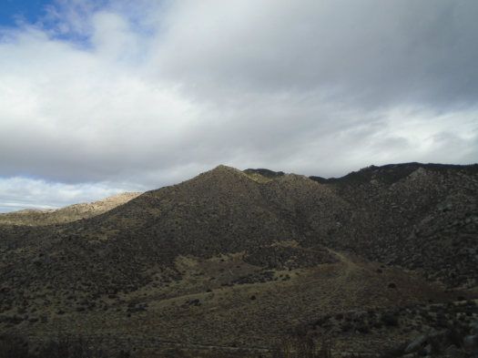
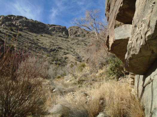
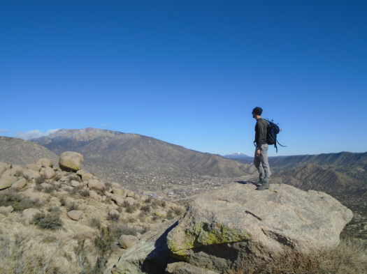
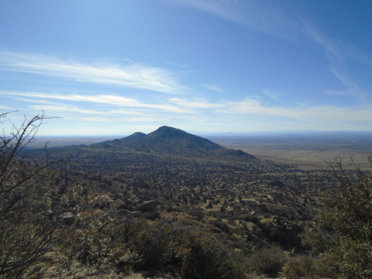
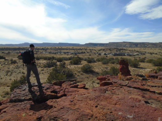
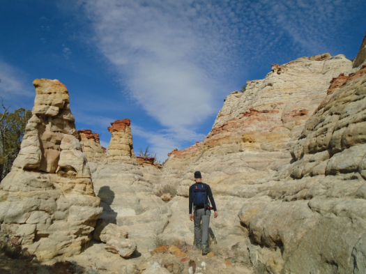
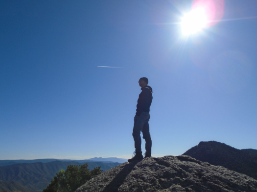
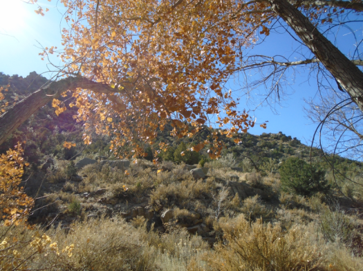
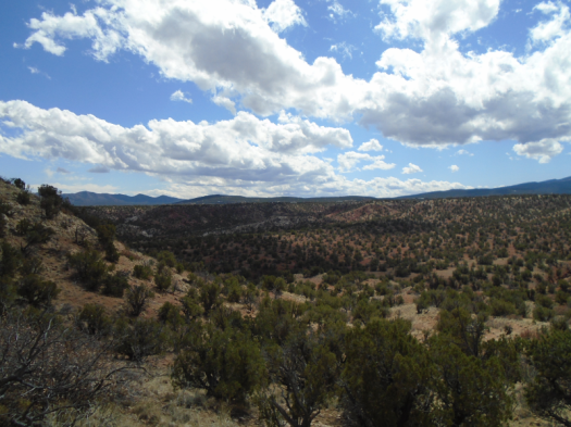
I’m alone on this side of the arroyo. I reach a mesa, break for lunch, ravenous. I’m looking directly at Tetilla Peak, the tan and black of the Dome Wilderness. Fresh snow coats Redondo Peak in the Jemez, the Sangre de Cristos.

DSC03593.JPG

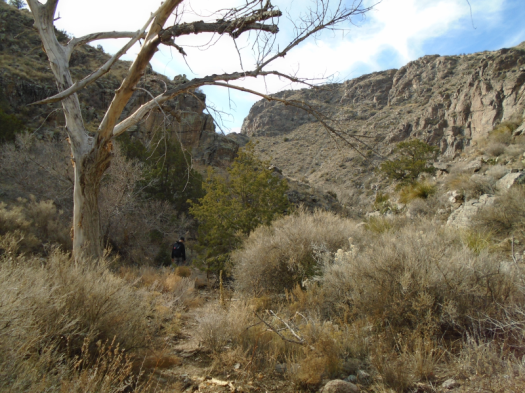
Wind whooshes. Birds chirp, tweet, caw. No other sounds.

Back on the near side of the arroyo, I stop at a plaque with a poem on it. It instructs me to take in my surroundings, read the poem, then sit or stand in quiet and use my senses. I am the creator of the experience of the art installation, it says.

DSC03608.JPG

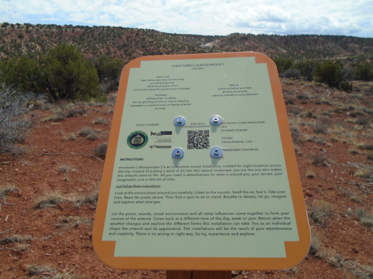
I look, listen, read the poem, close my eyes.

A breeze blows my hat brim back. I see only sun on the backs of my eyelids.

This sensation is what I seek, the feeling that the sun and warmth come with me when I go back into the house.

I open my eyes.

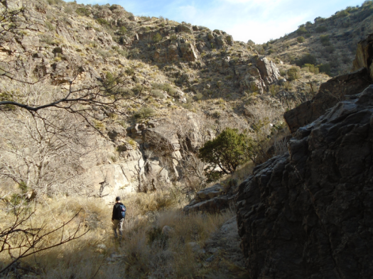
“Hoo!” yells a cyclist huffing up the hill I just huffed.

Time to move.

The smell of spring fills my nostrils. The smell that has comforted me, delighted me, for decades.

My mom fills our yard with it.

It brightened my desk all week during endless hours of reporting scary, heartbreaking news.

Daffodils.

In a pinon-juniper woodland, many miles from the nearest flowerbed, I smell daffodils.

It’s not the first hallucination I’ve had out here.

It will get me through another night in captivity.

Hike length: 7+ miles

Difficulty: moderate

Trail traffic: for this place, OMG

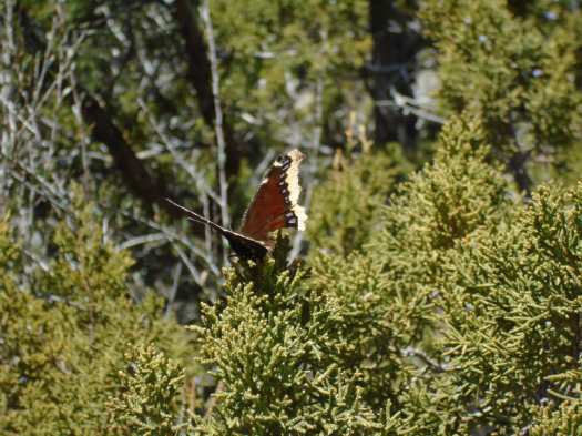
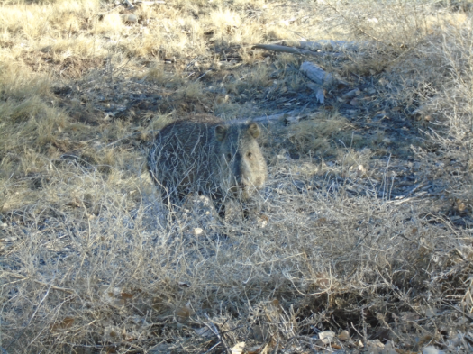
Wildlife spotted/heard: mountain chickadees, pinyon jays, crows, robins, Western wood-pewees, dead tarantula

O ye of little faith: Del Agua Trail after a storm will give you something to believe in

“Hear that?”

I do.

It rushes, trickles, gurgles.

I shouldn’t be surprised. We are, after all, on Del Agua Trail, at the north end of the Sandias.

But I live in the desert. Where a wet spot that flows a few weeks a year merits the name “spring.” Where even a rare perennial spring might be just a drip.

The day after a storm dumped half an inch of rain, we’ve found a gusher.

It sounds like a waterfall. It’s not. It’s a stream. It runs for at least half a mile. There, the trail and the stream cease crossing each other and become one. We turn around.

DSC03535.JPGDSC03537.JPGDSC03541.JPGDSC03547.JPGDSC03550.JPGDSC03554.JPG

DSC03559.JPG

DSC03560.JPG
The stand of cottonwoods where the stream lives is in the center of this photo

Miles inside granite, this stream nourishes a stand of cottonwoods, reeds, grasses. Birds call. Butterflies flutter.

Exodus 17: Strike the rock, and water will come out of it, so that the people may drink.

Tomorrow morning, Sunday, my church will have no services. It probably won’t have services for weeks, as public health officials urge us to avoid gatherings, keep “social distance,” and slow the spread of the new coronavirus.

I have been a churchgoer since I was a little girl. Nine years ago I left the faith I grew up in, but I didn’t leave church. I walked out those doors one Sunday and into other doors the next Sunday, and the next, until I found a church that felt like home.

Four walls do not make a faith. But without them, do I really have it?

I didn’t believe there was water in this canyon until I saw it, which is the definition of not-faith.

I sit beside the unbelievable stream. My husband leaps onto a giant fallen cottonwood trunk and walks down it.

He has leapt onto many less-advisable things with no consequences. But today his luck runs out. His foot slips and he lands with all his weight on his left ankle. A sprain.

Our car sits more than three miles away.

DSC03557.JPG
Tree my better half should not have walked down

If we can get to the bottom of this steep trail, I can walk the two miles of forest road back to the car and drive it down to the trailhead to pick him up. My little car and this rough road are not a great match, but I’ve driven it out here before.

We navigate the trail around ridges, through arroyos. I look back at my husband. He doesn’t want to throw me off balance on the narrow trail. Instead, he leans on one of my hiking poles for support, favors his right leg and braces himself on rock with his right hand.

He catches my eye and grins, despite the pain.

Fifteen years ago, when we were dating, we traveled from the East Coast to visit his family in Santa Fe. My husband and his dad got violently ill with a stomach bug. As weak as my husband was, as bad as he felt, he still smiled at me and spoke with kindness.

That’s when I knew.

I catch a glimpse of a vault toilet far below. I know this toilet; I call it “toilet in paradise,” because of its beautiful setting. At the trailhead.

If I can see the trailhead, we can reach it.

Here I go again, believing only what I can see.

Still, it feels like faith.

Hike length: 6+ miles

Difficulty: moderate

Wildlife spotted/heard/smelled: Western bluebirds, butterflies, skunk, pinyon jays, crow, box elder beetles

Trail traffic: light

DSC03524.JPG

Bosque del Apache: A world of birds, creosote, rock and water

Birdsong comes in layers.

Red-winged blackbirds call.

Doves coo.

Sparrows titter.

A northern harrier lords silent in a cottonwood.

And we haven’t even left the parking lot.

This is Bosque del Apache National Wildlife Refuge.

*****

Around us, mountains stand in states and shapes of erosion.

The Chupadera Mountains got tired of mountaining and relaxed into rock waves.

The San Andreas Mountains got tired of mountaining and let a giant creature take jagged bites off the top.

Unfamiliar mountains in every direction.

Sage plain pastels. Blue marsh.

360 degrees of stimulation.

We’re at the highest point of Canyon National Recreation Trail. Creosote and sand stretch back to the Chupaderas.

DSC03357.JPG
The Chupadera Mountains
DSC03363.JPG
The marsh is at left

Solitude Canyon brought us here. Nests, burrows, bird droppings lined the ravine’s rocky walls.

It’s a holiday weekend, but the canyon earned its name.

DSC03348.JPGDSC03350.JPG

Short, efficient switchbacks lifted us to a panorama that looks like it should have required way more than 30 feet of climbing.

Blue finds new gradients, unbroken by cloud.

Silence. A few cranes call from the marsh. The end. In November there were thousands.

Later, at the marsh, two harriers wheel higher until we can’t separate them from the blue.

DSC03379.JPGDSC03383.JPG

DSC03390.JPG
Coming down from the Marsh Overlook Trail; railroad tracks and Highway 1

DSC03394.JPGDSC03404.JPG

The first javelina we’ve ever seen trundles across the road in front of our car. He munches leaves on the shoulder, stares at us. We hear him snuffle as he walks away.

DSC03417.JPG
Why did the javelina cross the road?

DSC03420.JPG

The refuge is so vast, the land so open, you forget cities and towns and mountains that are tall. The entire world becomes creosote, rock, water and creatures.

From the top of Canyon Trail, you can see it all.

Hike length: Canyon Trail 2.2 miles, Marsh Overlook Trail 1.5 miles

Difficulty: Canyon Trail moderate-strenuous; Marsh Overlook Trail easy

Trail traffic: none on Canyon Trail, very light on Marsh Overlook Trail

Wildlife spotted/heard: doves, harriers, sparrows, red-winged blackbirds, crows, ravens, lizards, butterfly, flycatchers, heron, ducks, cormorants, cranes, eagle, javelina, geese, quail, roadrunners

Embudo Canyon from a horse’s-eye view

One can scramble up giant boulder slabs in Embudo Canyon’s throat.

Or one can make like an equine, take the Embudo Horse Bypass, and walk along ridges above the canyon.

Today we chose the latter.

Winter and the end of fall played silent tug-of-war. Clouds blanketed the foothills, cast cool light on granite and cholla. Sun bathed the valley and mesa below.

Sturdy pines, a flash of bluebird appeared in the yucca, cacti and stone.

DSC03070.JPGDSC03072.JPG

DSC03081.JPG
The boulder that ate my husband

DSC03082.JPGDSC03088.JPGDSC03090.JPG

Paths wrapped around gigantic boulders. From the ridge’s edge, we peered down on the canyon walls, stacked slabs of stone.

DSC03094.JPGDSC03096.JPGDSC03101.JPG

We took a side path up a steep ridge, gazed all the way to the Magdalena Mountains, 100 miles south. Cold wind whipped our faces. We retraced our steps and followed the bypass down to the canyon’s shelter.

I came to this trail today seeking winter’s endless sun.

But in the cool cloud light, I could see much more.

Hike length: 4.4 miles

Difficulty: moderate

Wildlife spotted/heard: bluebird, bluejay, crows, flycatchers, juniper titmice

Trail traffic: moderate (very light on the horse bypass)

Juan Tabo Canyon from the bottom up

I’ve climbed steep paths for a dramatic view into Juan Tabo Canyon.

But I’d never seen its rugged rock walls rise hundreds of feet above me.

Until yesterday.
You can get a good gander at the Sandias’ Shield, Prow and Needle from many spots near the canyon. Yesterday’s hike took us through the canyon’s less-traveled northern sections.
Down arroyos, following footprints and deer tracks. Through stands of bare trees and brush. Over damp rocks where a stream had recently flowed.
The sun and a light breeze warmed us. Still, our feet crunched snow in shady spots.
We squeezed against jagged slate canyon walls. The further south we went, the higher the rock rose above. Mountain chickadees and towhees darted from juniper to juniper.
It made me wonder if this canyon bottom would flourish green in a wet spring and summer.
DSC03057.JPGDSC03060.JPG

DSC03061.JPG
Tenacious.
DSC03062.JPG
A cavelike hole in the rock

DSC03064.JPG

Our first view into the canyon looked verdant even today, blanketed with evergreens.
DSC03051.JPG
The light and warmth shortened with the afternoon. Winter cloud cover built.
DSC03065.JPG
DSC03066.JPG
Time to go, taking a new view of the canyon with us.
Hike length: 6 miles
Difficulty: moderate
Trail traffic: very light
Wildlife spotted/heard: hawk, blue jays, spotted towhees, mountain chickadees, Jerusalem cricket
TIPS:
-I recommend this hike, like my other recent ones, November-March. It’s very sunny.
-This barbell-shaped route comes from Mike Coltrin’s Sandia Mountain Hiking Guide.

Everything shows its true colors at Manzano Open Space

South Sandia Peak stands rust red, dusted with white.

I’ve stared up at the South Peak so many times, from so many places. I would never have described it as red.

To see that requires being in the right place at the right time.

Early afternoon, late fall, atop an unnamed peak in Manzano Open Space.

DSC02994.JPG
Red ridge on the Sandias at 10 o’clock; snowy San Pedro Mountains on horizon

Rugged paths ramble through Tijeras Canyon, overlapping with Route 66 Open Space. I-40’s white noise rumbles by.

The steep climb up to the peak delivers a 360-degree view: the south Sandias, the rumpled canyon, the high plains rolling south, Mount Taylor with a solid cap of snow on the distant horizon.

DSC02991.JPG
From different vantage points this rock looks like an anvil, a bear, a bike helmet and Trump’s hairdo.

DSC02995.JPGDSC03002.JPG

Wind blows stronger up there. Snow covered the canyon two days ago, but it’s clear and dry below 8,000 feet. I soak up sun on a shielded boulder.

The boulders balance enormous against enormous. We climb down to get a closer look at one, covered with lime-green lichen, that must weigh three tons.

DSC03005.JPG
A mere corner of the boulder that ate Tijeras Canyon

We hike out to a knoll to look over the canyon. Mountain bluebirds spring brilliant from the junipers.

DSC03008.JPGDSC03011.JPG

A wrong turn on the way down dead-ends at a rusted, bullet-riddled truck chassis buried in the sand. Stumps of seatbelt remain.

DSC03014.JPGDSC03016.JPG

Both man and nature have shaped this rugged land on Albuquerque’s eastern flank.

Hike length: 5.5 miles

Difficulty: moderate

Trail traffic: light

Wildlife spotted/heard: blue jays, robins, mountain bluebirds, crows, grasshoppers

TIPS: Like last week’s hike, I recommend this one for November-March. It’s shadeless and looks very rattlesnake-friendly.

People have clearly partied out here; a few trails had quite a bit of broken glass. Watch where you step or ride.

Thanks to the Albuquerque Senior Center for posting a great description of this route!

Cañada del Ojo: An eyeful of hoodoos

We fly as only a wide, smooth dirt road allows a vehicle to do, then stop short.
Before us, more than a dozen horses trot across a junction.
When we park and open the car doors, silence engulfs us. Ravens break it to trade caws across the valley.
We hike to the ruins of two small stone houses. We have to strain our eyes to distinguish the foundations from the rock landscape as we approach.
DSC02918.JPGDSC02921.JPG
We walk a cow path through cholla cactus taller than most humans and sun brighter than most places on earth.
A short, steep track deposits us on a mesa. With the 100-foot elevation gain, wind emerges from the stillness. Juniper replaces cholla.
Rock twists red and rust and burgundy around us. We haven’t reached our destination, but I stop to clamber among the towers and peer through windows in the rock. Herrera Mesa looms tall and flat across the valley.
DSC02929.JPGDSC02931.JPGDSC02938.JPGDSC02941.JPGDSC02945.JPGDSC02946.JPGDSC02952.JPG
DSC02983.JPG
Beyond the red land, the arroyo we seek: sand, rock shelves, juniper branches.
We’re in it before we see it: Cañada del Ojo, a hoodoo garden on BLM-designated land near the To’Hajiilee Navajo Chapter.
The hoodoos rise bulbous, chalky, topped with the rich red we saw earlier. Balanced rocks. Moqui marbles. An arrowhead, chipped and discarded in the arroyo.
The drainage begins to resemble a slot canyon. We climb to a ridge, walk its edge to gaze down on the hoodoos and over the valley.
DSC02959.JPGDSC02961.JPGDSC02962.JPGDSC02964.JPGDSC02973.JPGDSC02980.JPG
The ridge holds numerous tinajas, rock depressions in the desert that can hold water, sometimes for weeks. All are bone-dry. The animals whose scat and sign dots this corridor must seek succor elsewhere.
Rather than retrace our steps, we descend the ridge’s stone shoulder, long and sideways.
Cloud wisps stretch across the sky. The sun’s blast becomes a glow. The ground beneath our feet reveals a chunk of chalcedony, a bobcat print.
We follow a long fenceline through cactus and sky to our car.
The horses run beside us as we drive away.
Hike length: 6 miles
Difficulty: moderate
Wildlife spotted/heard: crows, ravens, cottontail, chipmunk, butterflies, grasshoppers
Trail traffic: none
Tips: This route is from the latest edition of “60 Hikes Within 60 Miles of Albuquerque.” I recommend this hike November-March. There’s no shade and the terrain looks like prime rattlesnake habitat. As noted, the dirt roads to get here are mostly good in dry weather, but the last couple miles could get dicey quick with any rain or snow.

The view from the top of Embudo Canyon astounds no matter how you get there

The trail runner leapt onto the rock wall and raced up. His feet met every indentation like magnets.

This is not how I tackle the challenges of Embudo Canyon.

To climb its sloping boulder-shelves, I requested my husband’s assistance from above. To descend them, I scooted down on my butt.


When we got to a black diamond section of very steep switchbacks, I stopped frequently, laboring to push myself up to the next rock. Later, I moved down the switchbacks only slightly faster than a glacier, crouching to keep my center of gravity low, contorting myself into any position that would put a foot in contact with something semi-flat.

I did this even though I’ve been hiking long enough to know that climbing or descending a steep grade slowly taxes your muscles way more than walking briskly down it, planting confident heels into the earth.

Sure enough, after I descended the switchbacks, my legs quaked like aspens and I still had two more miles to hike, including the boulder descent.

But.

I reached my destination, a ridge steeped in sun and wind at nearly 8,000 feet. One mountain range after another rippled blue in the distance: Manzanitas, Manzanos, Los Pinos. I’ve hiked them all and seen them from many vantages. But I would never have guessed you could see them all from so far north and west.

DSC02819.JPG

DSC02820.JPG
Looking west over Albuquerque

DSC02822.JPGDSC02825.JPGDSC02830.JPG

Below us, a sunbaked valley alight with chamisa. A brown stand of cottonwoods’ final show of the year.

DSC02801.JPG

DSC02812.JPGDSC02816.JPG

DSC02808.JPG

I will keep working to build more confidence on steep trails, since many of the best places are at the top of them.

I will also celebrate when I get to the top my own way and at my own pace.

Hike length: 6.2 miles

Difficulty: moderate except for the black diamond section near the top

Trail traffic: moderate

Wildlife spotted: sparrows, blue jays, robins, crows, butterfly, beetles