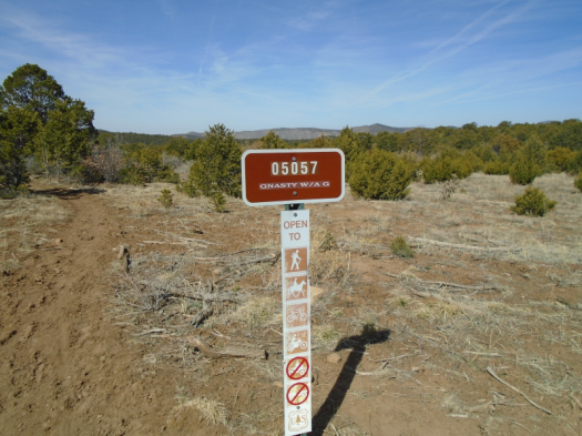
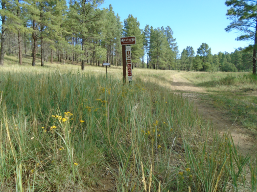
Had to stop and get a picture of the cross shadow made by this trail sign on Holy Thursday. It looks like “Gnasty Wag” here, but the trail sign says Gnasty with a G.
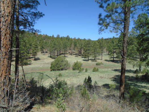
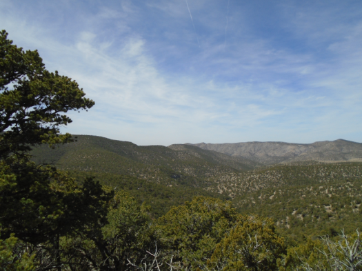
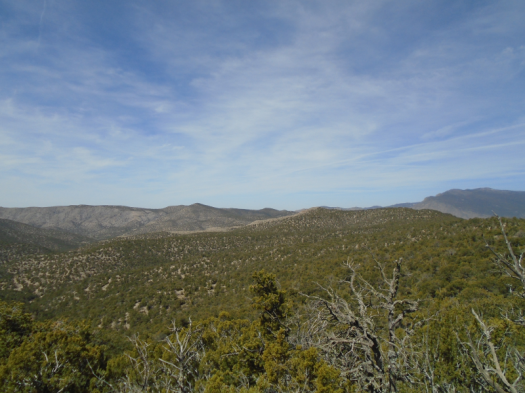
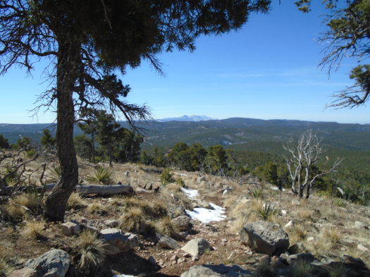
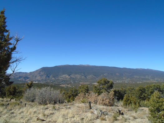
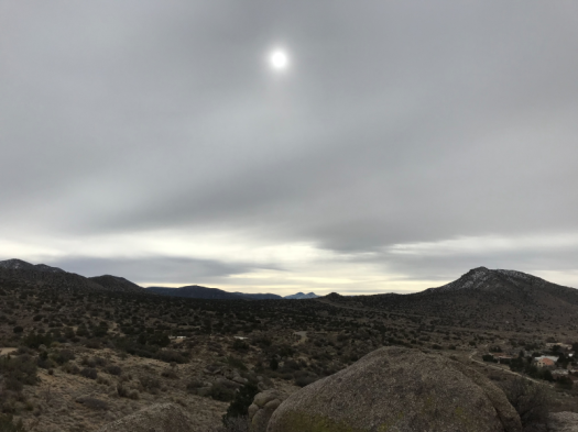
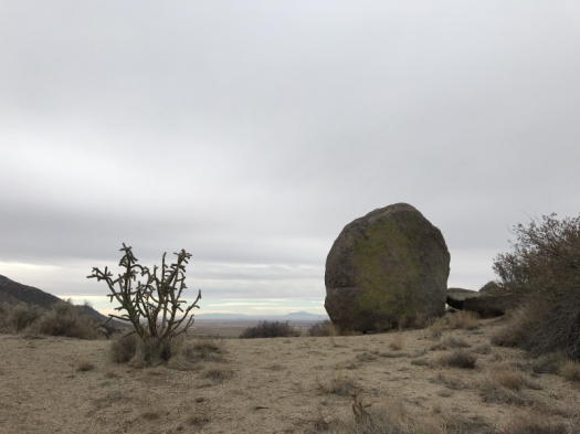
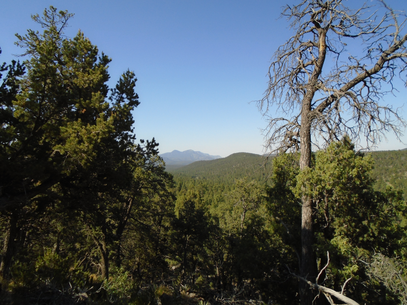
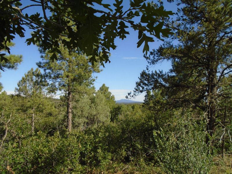
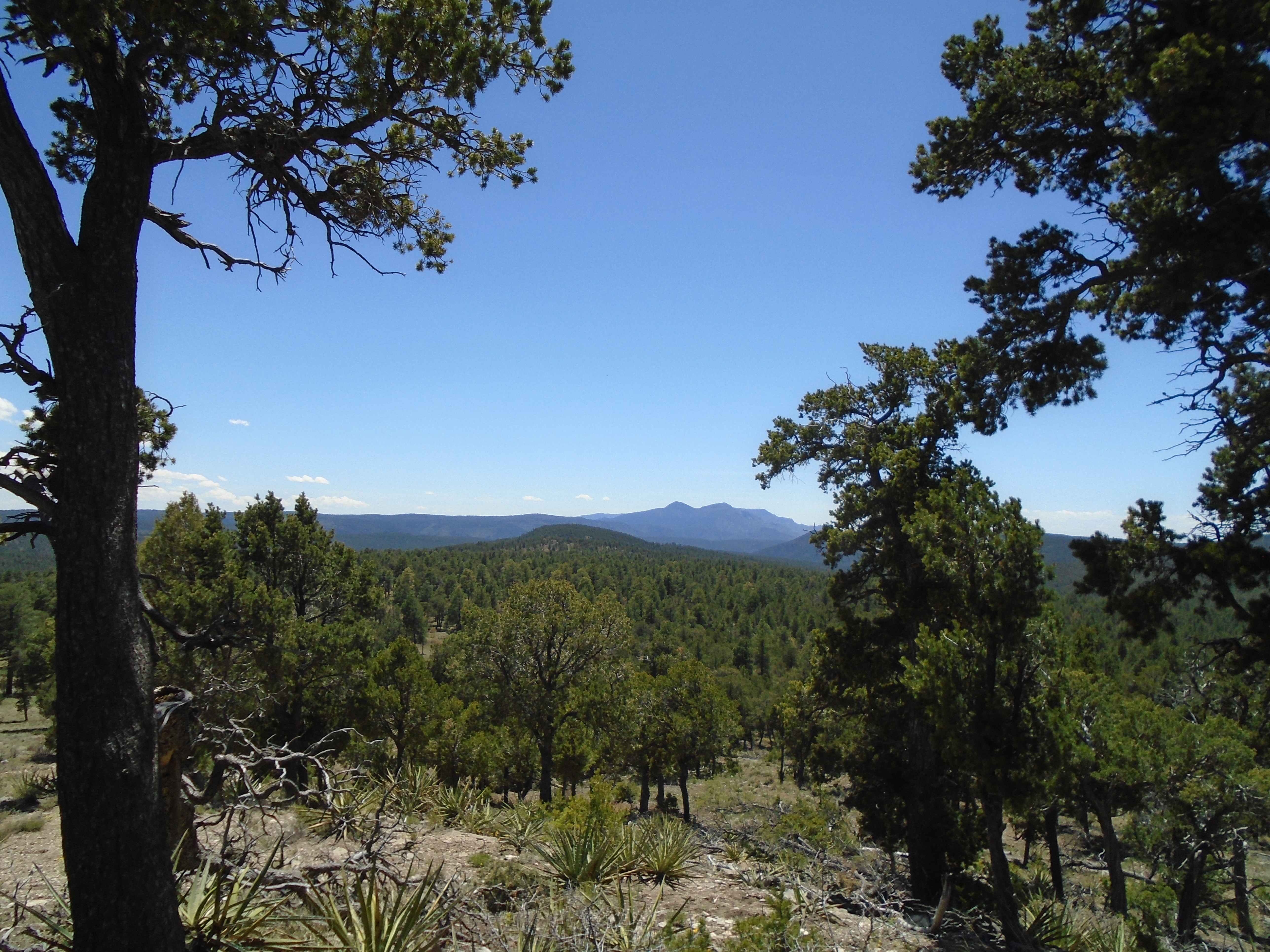
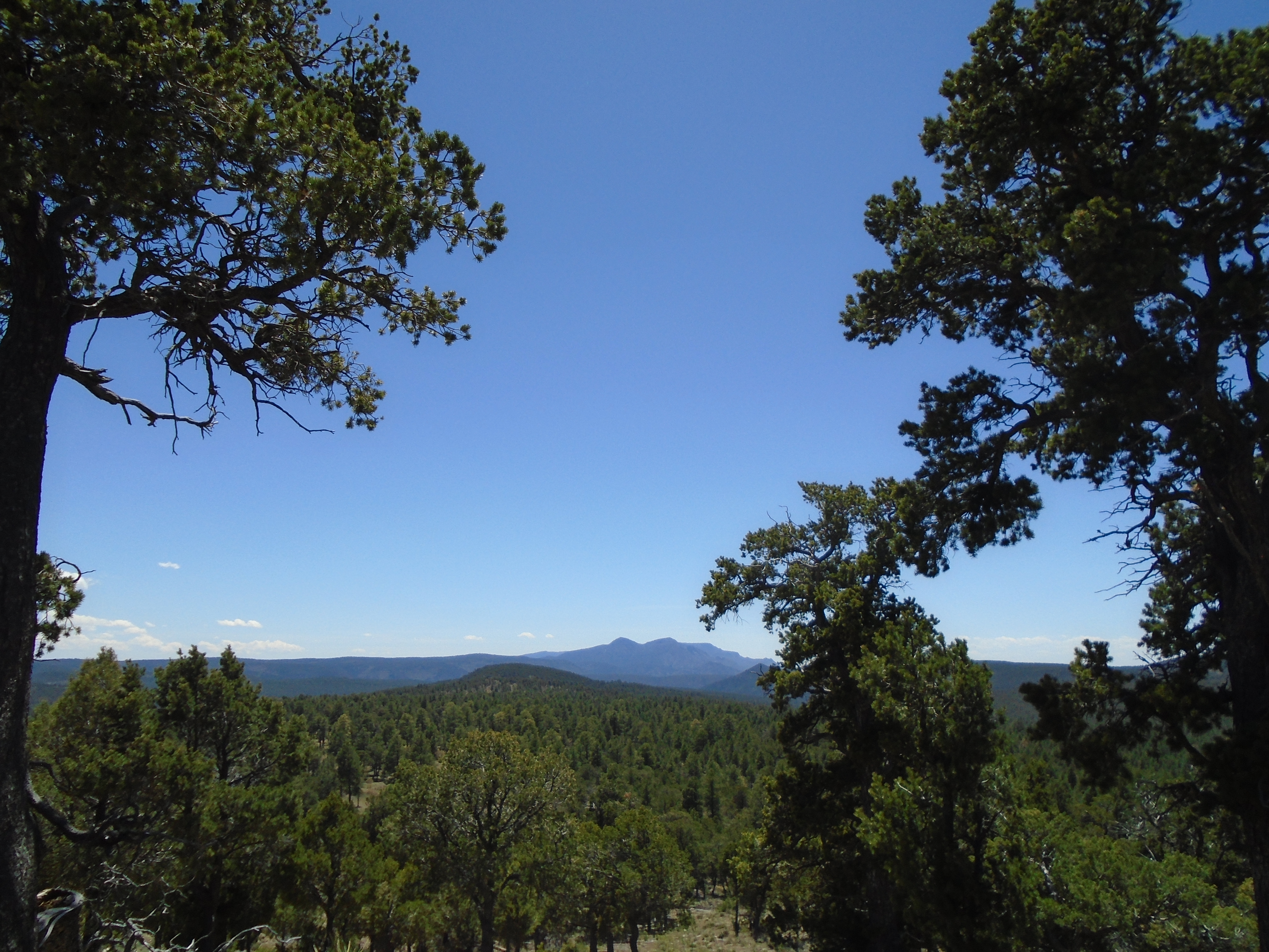
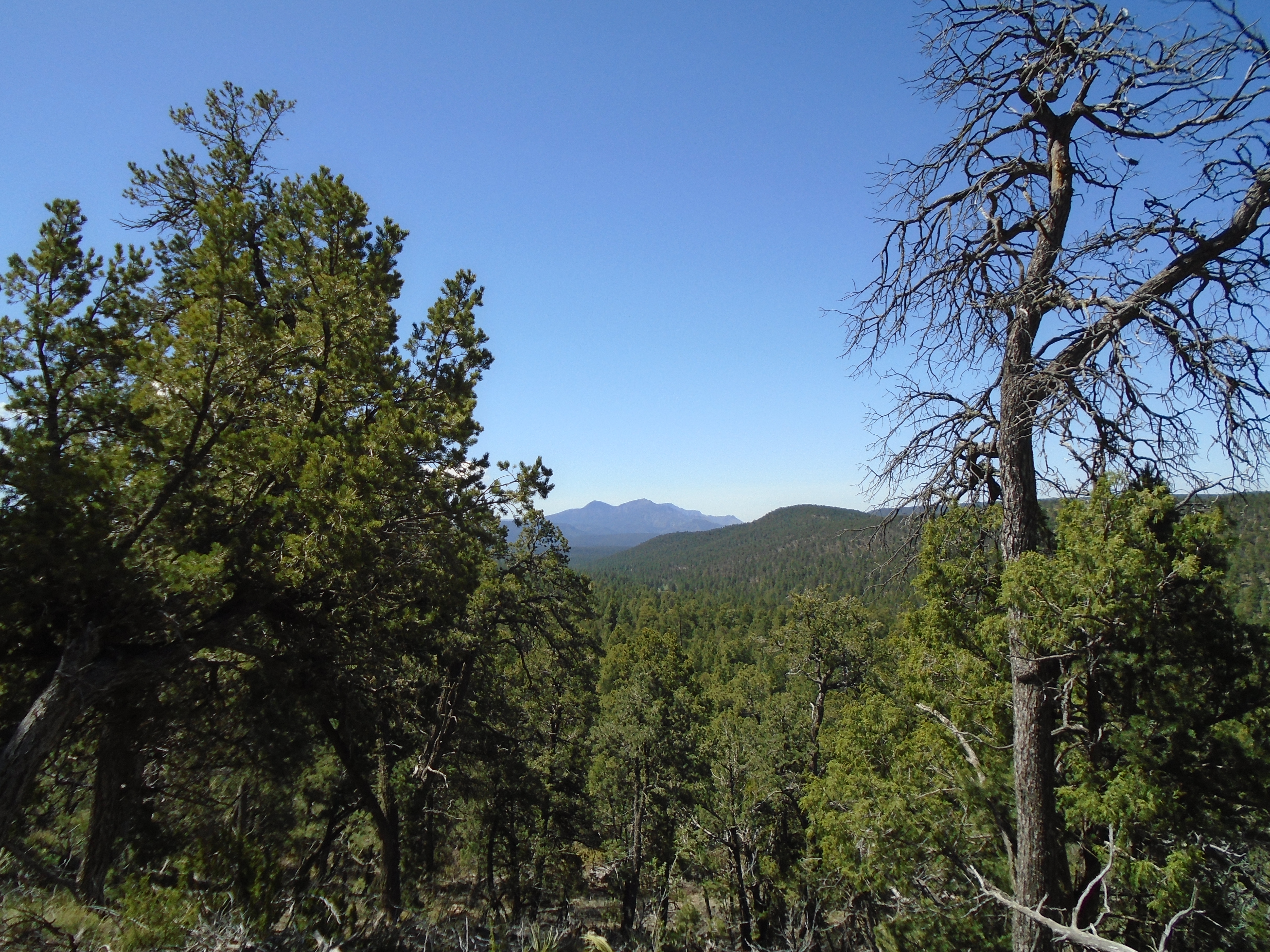
Cedro Peak, which I hiked Monday, at center of image
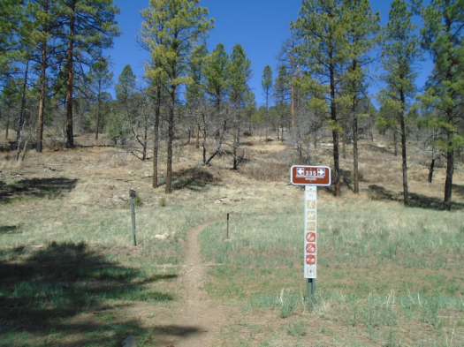
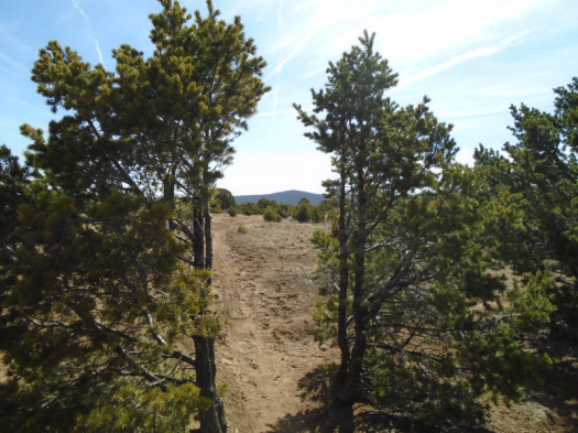
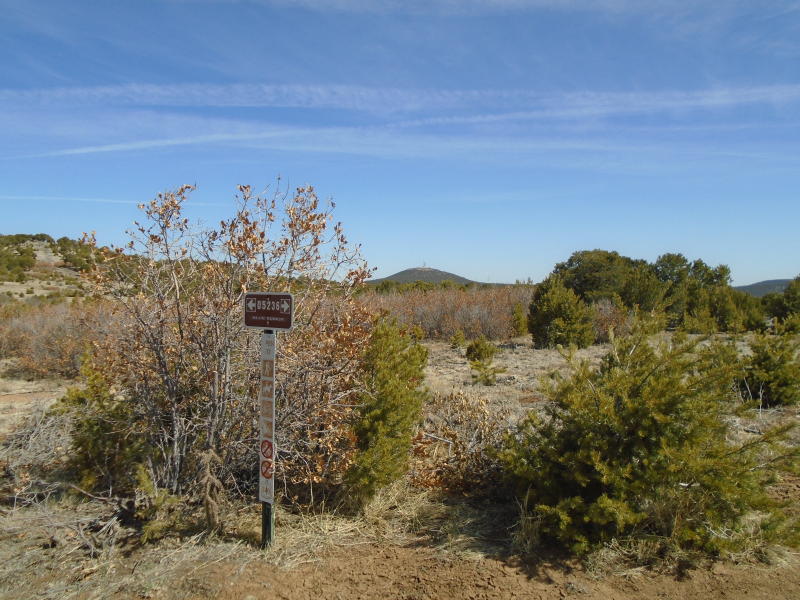
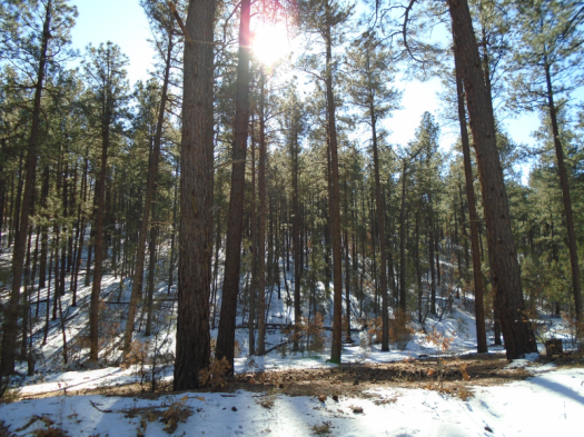
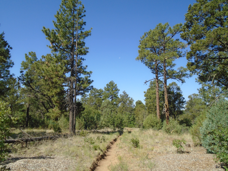
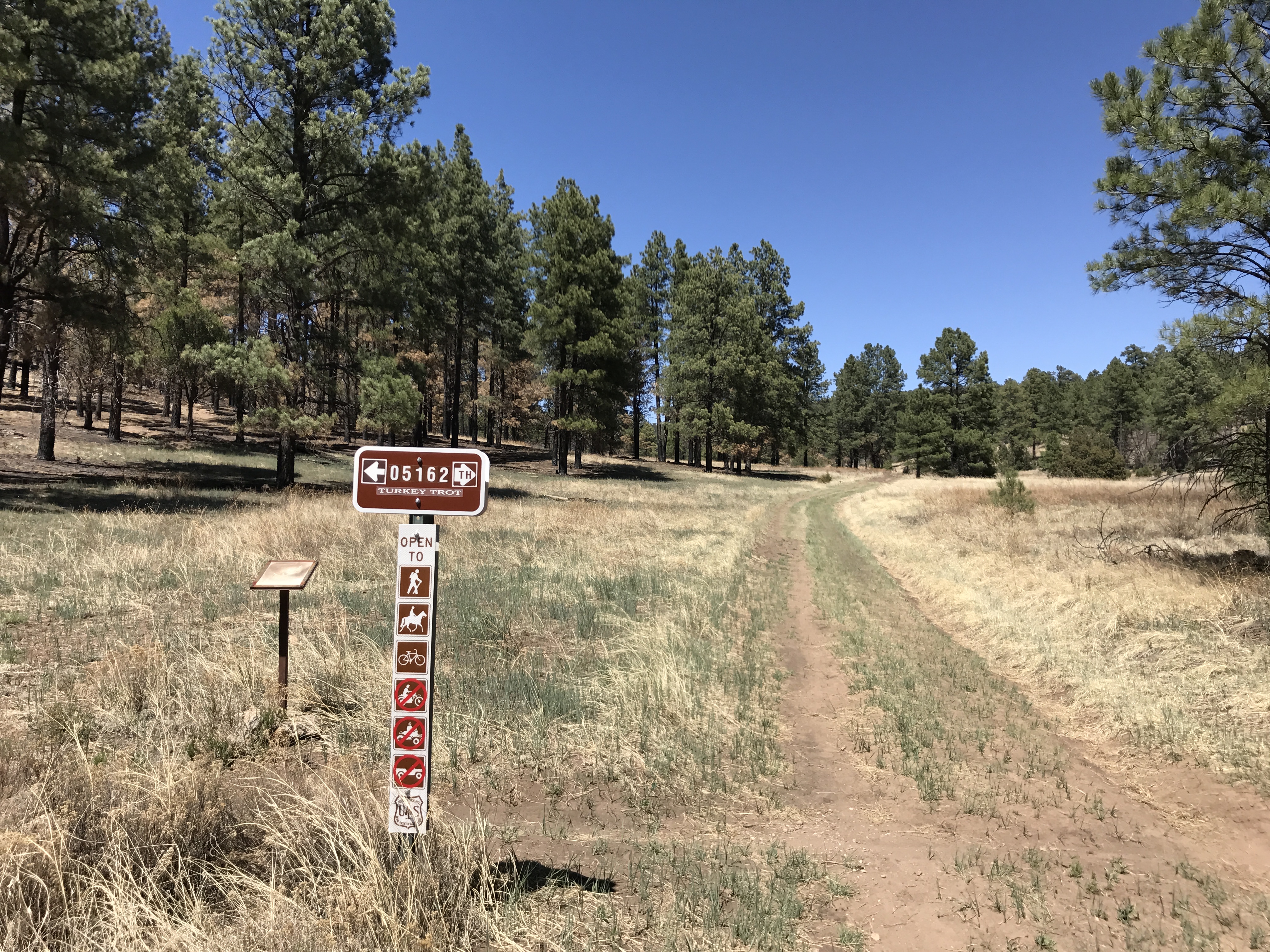
Hike: Blue Ribbon Trail + Gnasty + West Ridge Trail loop from Otero Canyon trailhead
On the other hand, the Manzano Mountains south of David Canyon rolled lush and green 10 days ago. All the fire danger arrows rested comfortably at “low,” and two epic storms pounded the area in the span of 18 hours.
David Canyon’s fortunes fall somewhere between those two spots.
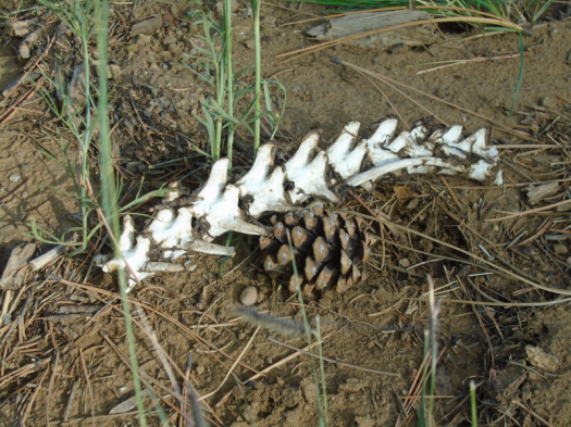
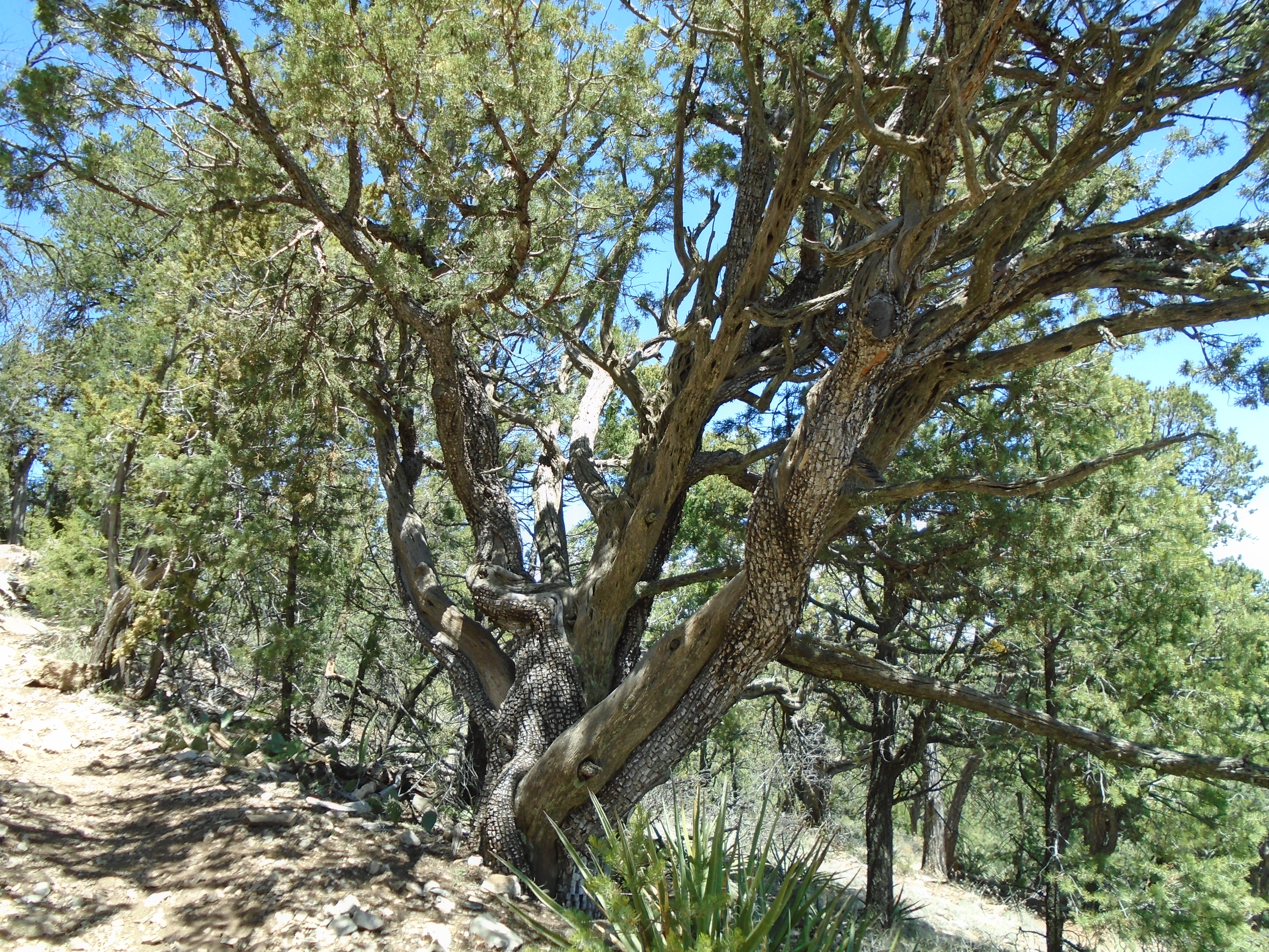
The canyon’s east rim, near the trailheadDeer spineAlligator juniper
The burn scar just west of the meadow barely resembles a burn scar. Sunflowers and asters peep out of the rocky soil.
The uplands on the canyon’s west rim look parched, but they probably always will.
Some oak leaves drifted brown and orange to the ground on Forest Road 530. I don’t know if that’s normal for mid-September at 7,500 feet, or prompted by drought.
All the more reason for another research trip soon.
Hike length: 6.8 miles
Difficulty: moderate
Trail traffic: light-moderate
Wildlife spotted/heard: hummingbirds, mountain chickadees, brown creepers, woodpeckers, bluebird, blue jay, nuthatches, crows, ravens, butterfly, beetles, lizards
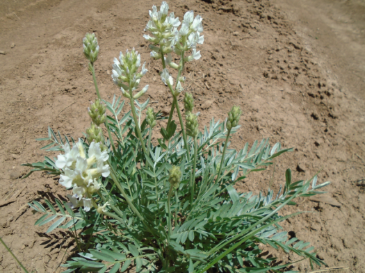
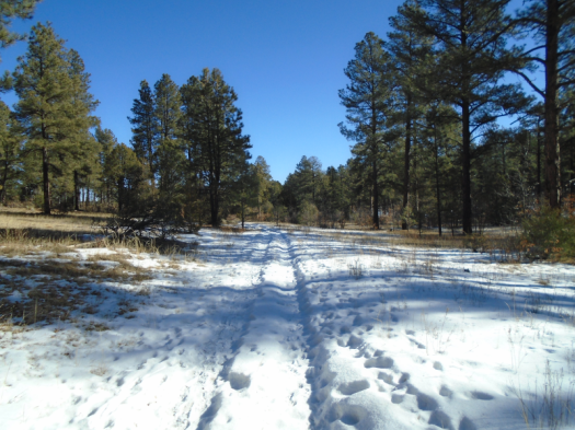
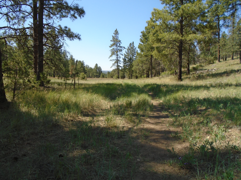
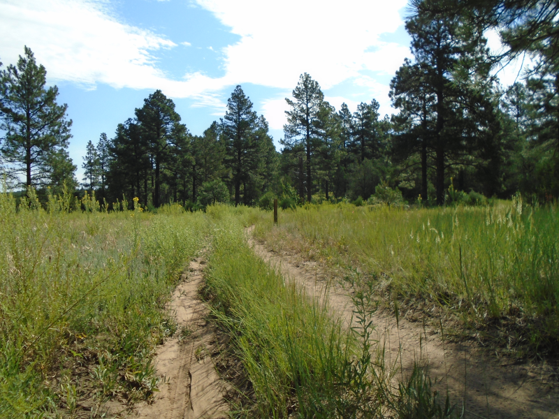
I walk the dusty track. Long stretches of naked meadow between pines. Wildflowers cup a side trail. A UFO-like structure squats in the grass. Water tank?
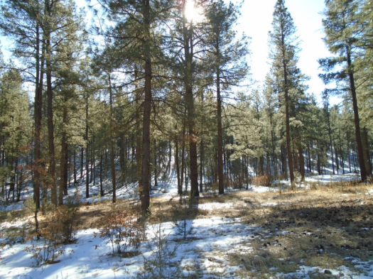
The ponderosas come closer together, closer, and a rock grotto appears. Lavender butterflies the size of a fingernail dance at my feet.
The last crossroads. I sit again.
Two chipmunks dart from a tangle of growth. They chase each other around a tree trunk, touch noses. One scampers into a field. The other huddles in a rock, munches something it’s saved there.
To watch a thought unfurl, curl in on itself.
To observe a scene.
To have canyon walls block the messages’ internal ping.
It was the best decision I could come to. I stuck with it for two and a half months. And then I could feel myself forgetting feeling, synapses sputtering.
So slowly, carefully, early in the morning, in the middle of the week, with multiple backup destinations in case the trailhead was crowded, with a mask, within 25 miles of home, I go back out.
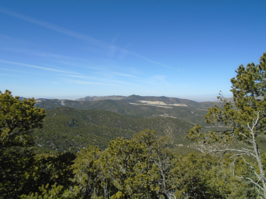
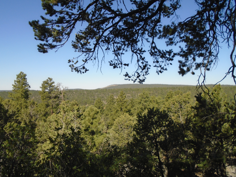
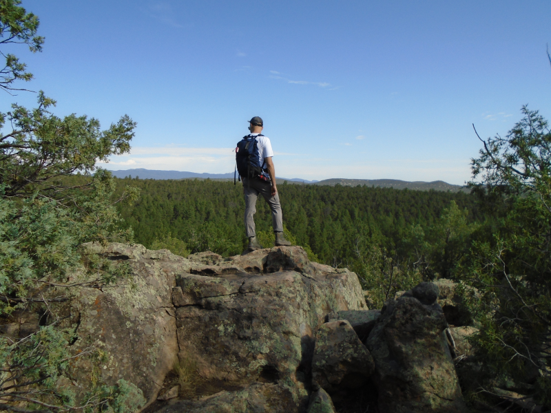
This overlook wasn’t here before. A halo of stumps circles the promontory. Forest thinning must have revealed it.
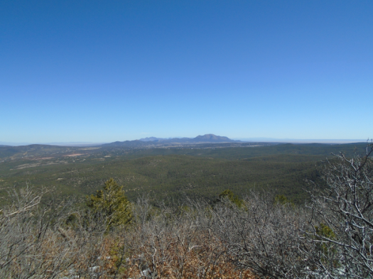
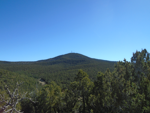
We climb lavender granite, just behind a chipmunk. A Western bluebird swoops into pine. Waves of forest break below us, all the way to South Sandia Peak.
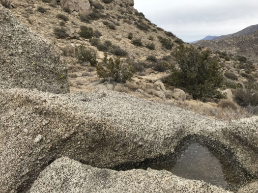
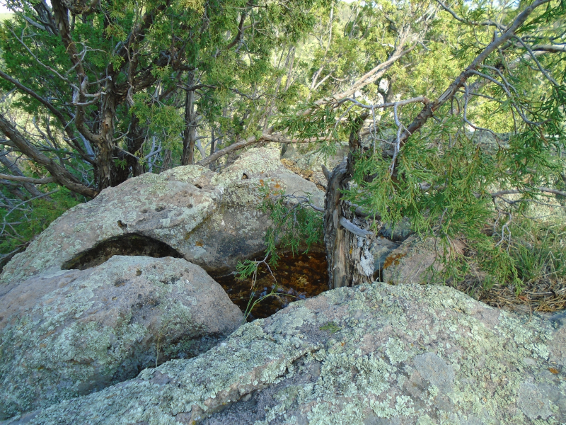
A sapling grows from a water hole in the rock
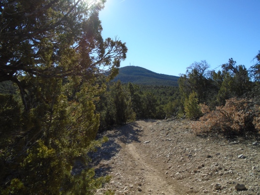
This is Juan Tomas Open Space, a city-owned property south of Tijeras. We’ll see no other hikers, but probably a dozen mountain bikers. The rolling hills offer plenty of room to move over.
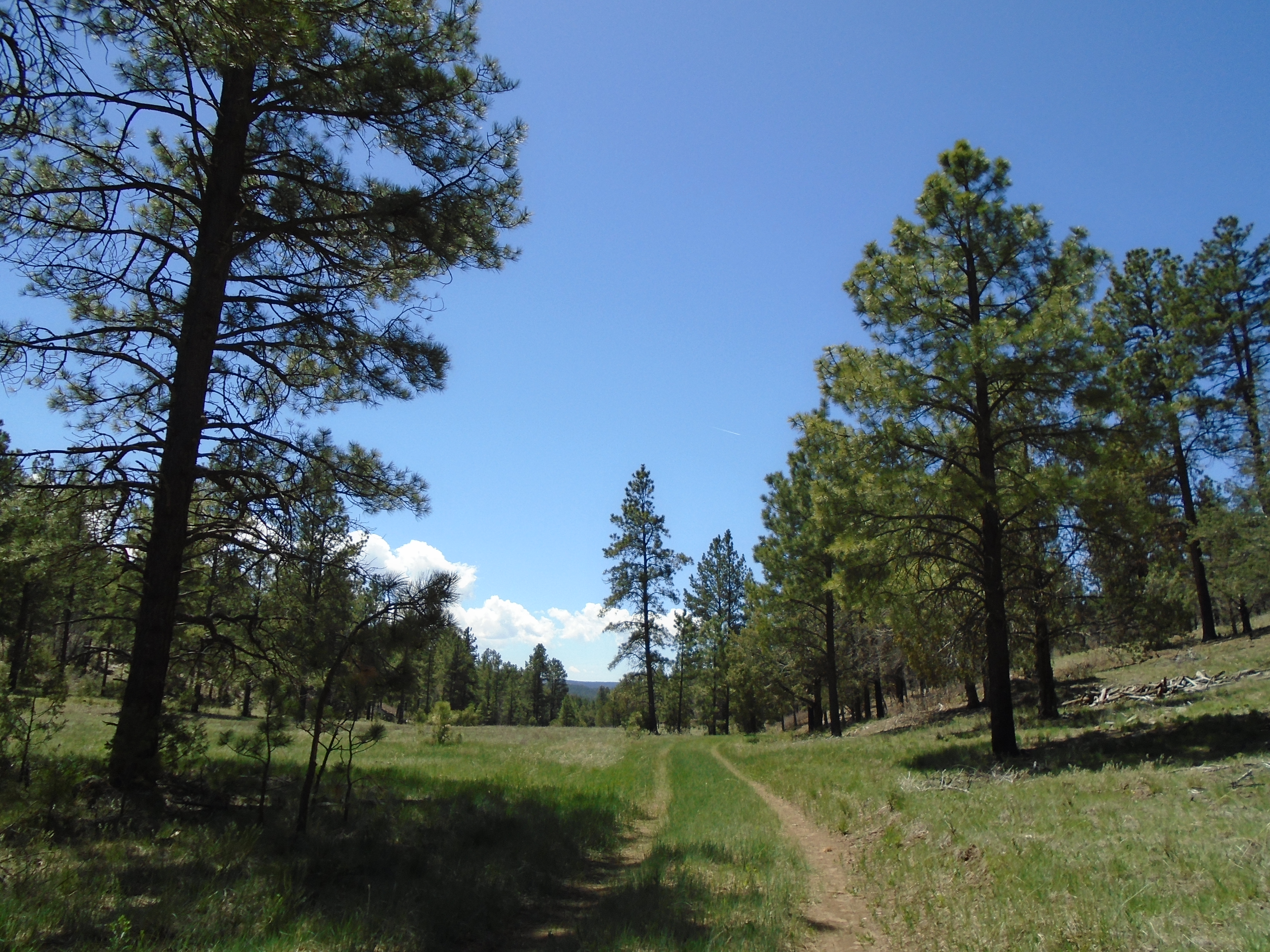
Ponderosas hover above, their enormity granting needed shade. In meadows, green competes with green, grass and wildflowers waist-high. Smooth logs rest in a trail rut, washed there by the most recent rain.
Driving down Oak Flat Road, I think I see my first Western diamondback, but it’s just a gopher snake. A four-foot gopher snake. My husband is compelled to rescue all road snakes, living or dead, so I put on my hazards while he jumps out, finds a branch to pick up the snake with, and relocates him (or her).
It’s my first live snake sighting in the West.
Even the most familiar locations in the forest have so many surprises.
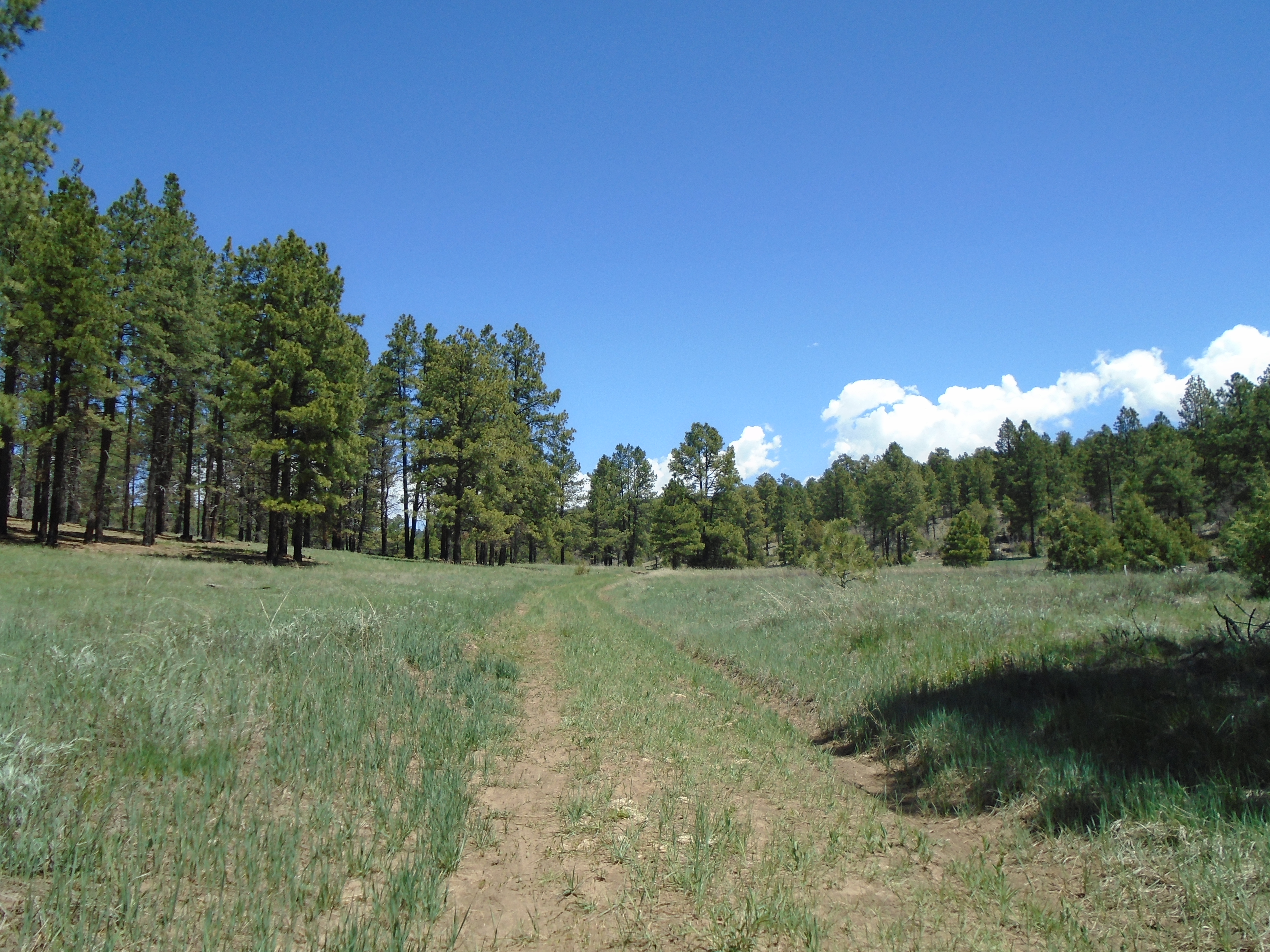
The meadow appears as we descend the steep trail. Grass dances in the breeze.
It’s green.
When we visited David Canyon one year ago, after the winter of no precipitation, we found a hotshot firefighter crew in the parking lot, babysitting the tinderbox. The meadow had parched to a washed-out beige.
But the wind never stopped sighing in the trees, and the canyon’s incredible bird lineup never stopped singing. Now, months of snow, more snow, rain and more rain have set the meadow’s colors free again.
The same spot one year ago.
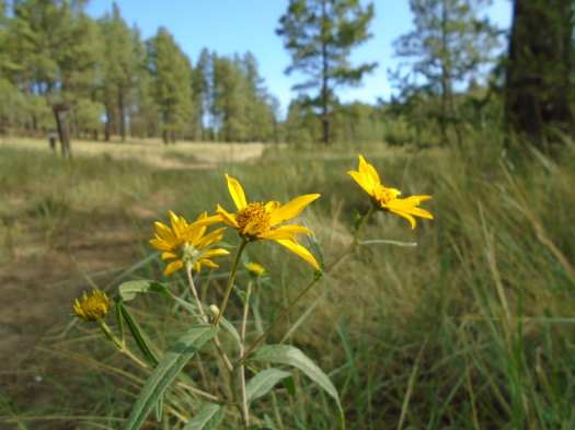
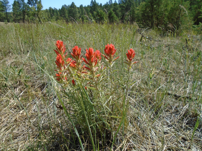
We hike up the other side of the canyon, traveling through a burn zone where embers still smoldered last year. The hillside remains naked in spots, but grass and little clusters of yellow wildflowers sprout along the path.
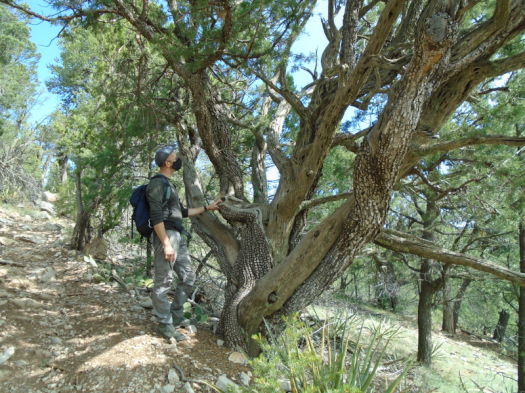
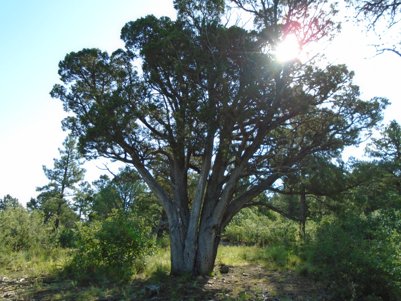
Alligator juniper
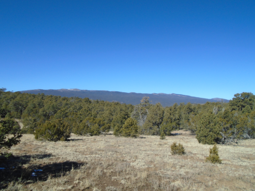
We reach the forest road that runs along the canyon’s rim. It’s still green up here, but more rocky than the meadow. From up here, the opposite wall of the canyon still looks dry and brown, fire-stripped trees visible in spots.
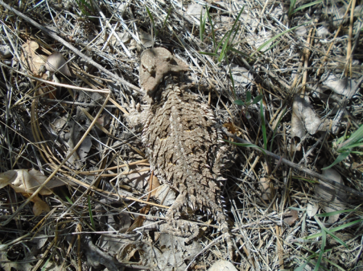
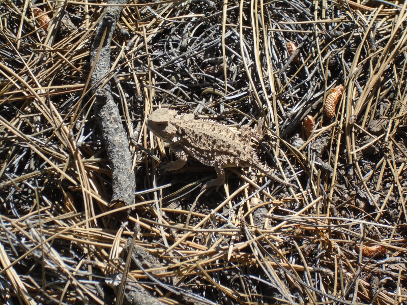
Can you see the horny toad? Every time I zoomed in I lost sight of him, he was so well camouflaged.
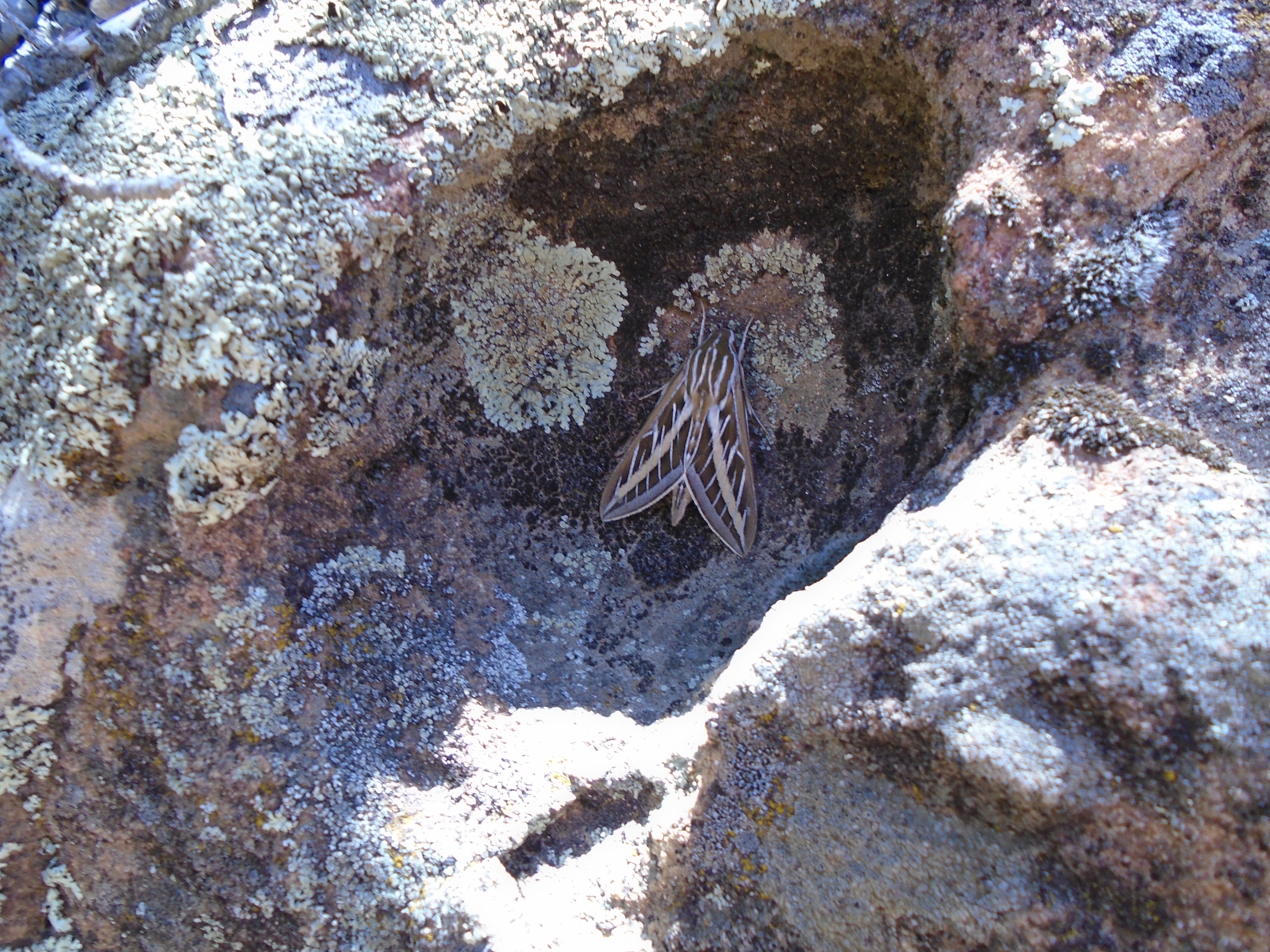
Arrowhead moth on a rock
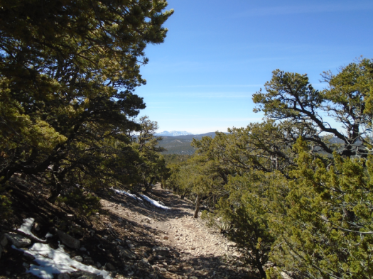
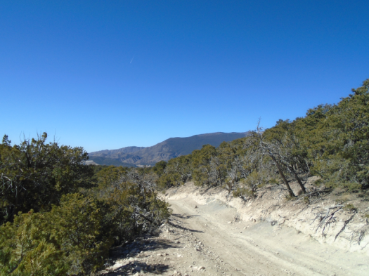
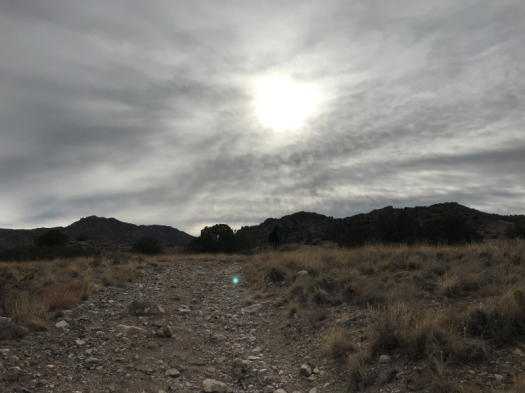
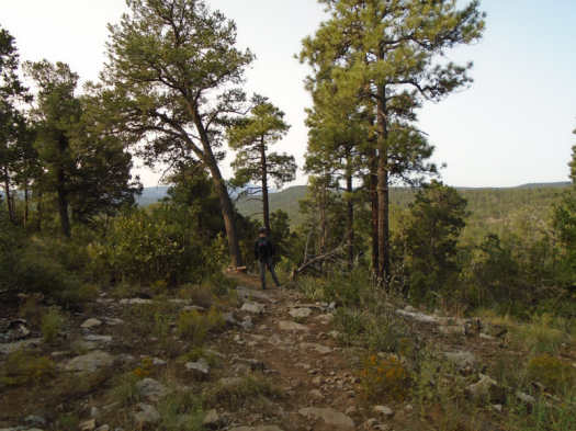
Another steep forest road leads to the highest point of the hike. The ponderosa pines and grass yield to twisty junipers, yucca and rock, baking in the sun. It’s the point in the hike where the landscape makes me wonder, “Am I in Egypt?” We’ve already hiked close to five miles, and my feet protest.
But I know what’s coming next, and I know how close we are. I resist the temptation to look behind me until we reach a rocky landing. I turn for the full effect of what the climb gained us: a stunning view of the Manzanos’ Guadalupe and Mosca peaks above forested ridges.
A little more climbing and a steep descent over red and orange rock lead to the narrow, shady trail that will take us back. We pause to watch a group of seven or eight Abert’s squirrels scamper up trees and over hills. Two skirmish in a tree scramble, and squawking ensues. I try to get a picture, but they’re so fast. I zoom in on one only to watch it take a flying leap out of the camera’s field.
I relish that pause, because we’ve now hiked more than six miles and have two more to go. As we close back in on the trailhead, we get one last glimpse of the Manzano ridgeline, shaped from here like a pizza cutter.
We saw so much today, and a whole lot of it was green.