Two dogs cover me with kisses.
I rarely pet other people’s dogs on a trail, but this is a love attack, and all I can do is respond in kind.
“Sorry!” their owner says, laughing. She’s ripped, panting, and quickly refocuses the dogs on slurping some water.
“I try to run as much of Three Gun as I can,” she says of this trail. “But you can’t run it! It’s too steep.”
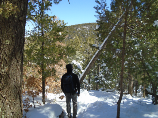
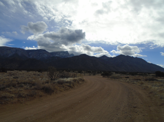
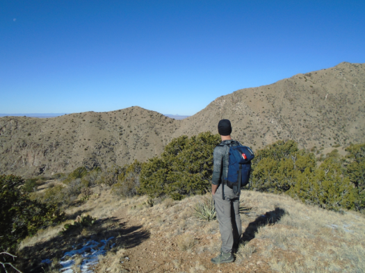
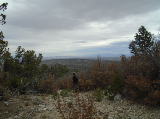
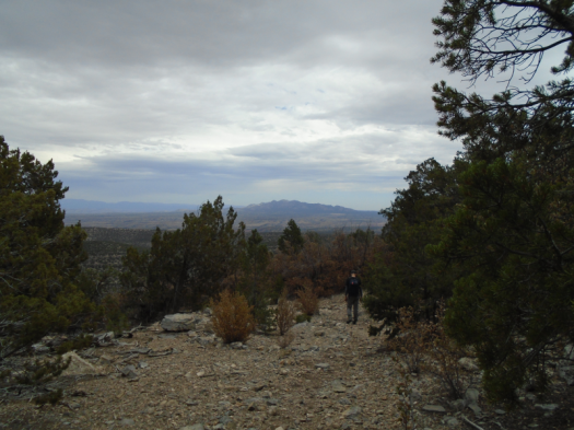
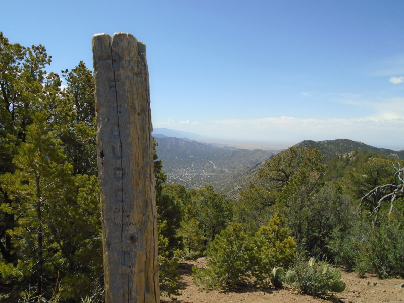
That’s why I’ve been resting my legs at the junction of Tres Pistolas (Three Gun Spring) and Embudo trails for half an hour.
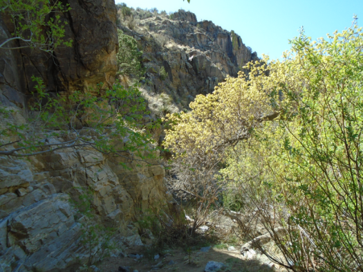
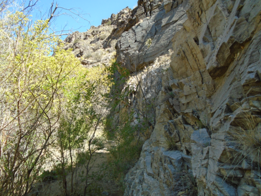
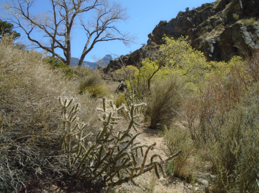
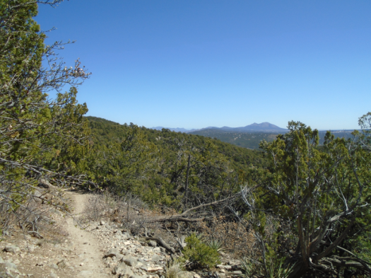
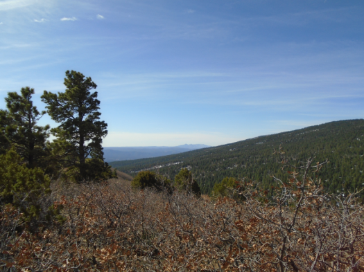
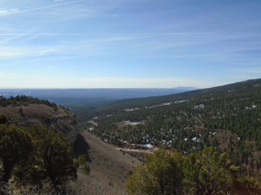
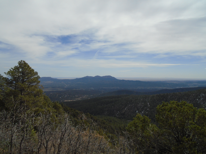
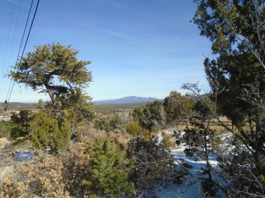
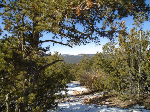
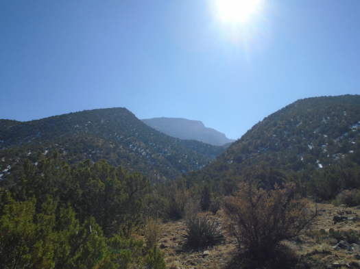
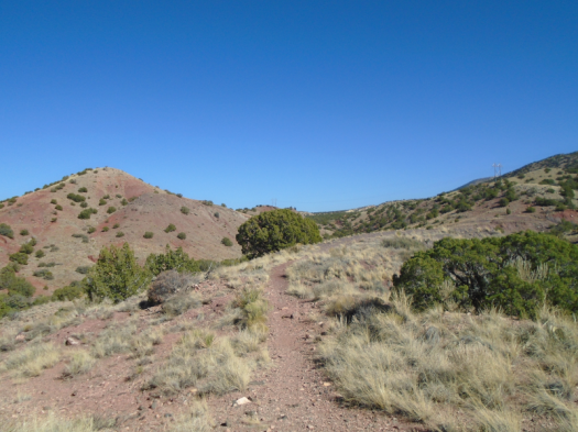
At the Tres Pistolas trailhead, I always think: I’ll keep going past Embudo! It’s so beautiful up there!
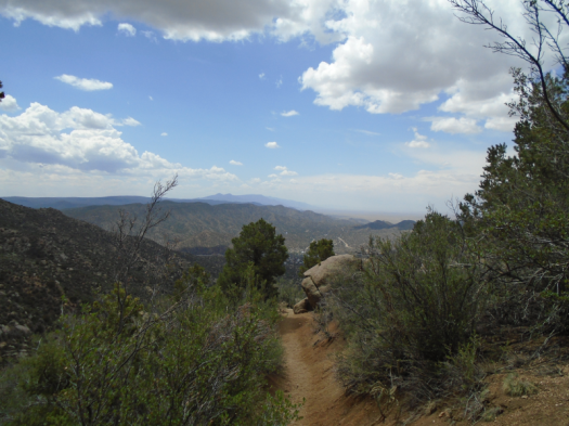
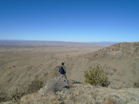
And at Embudo, I think: I need an airlift.
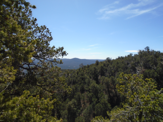
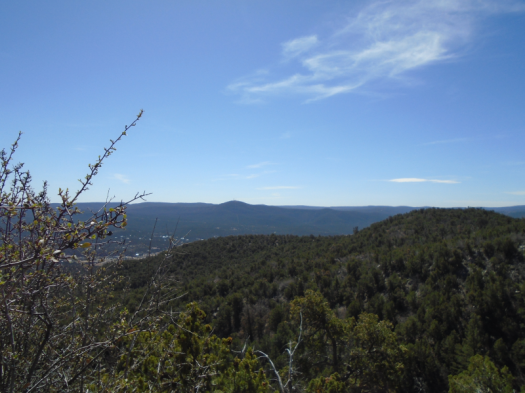
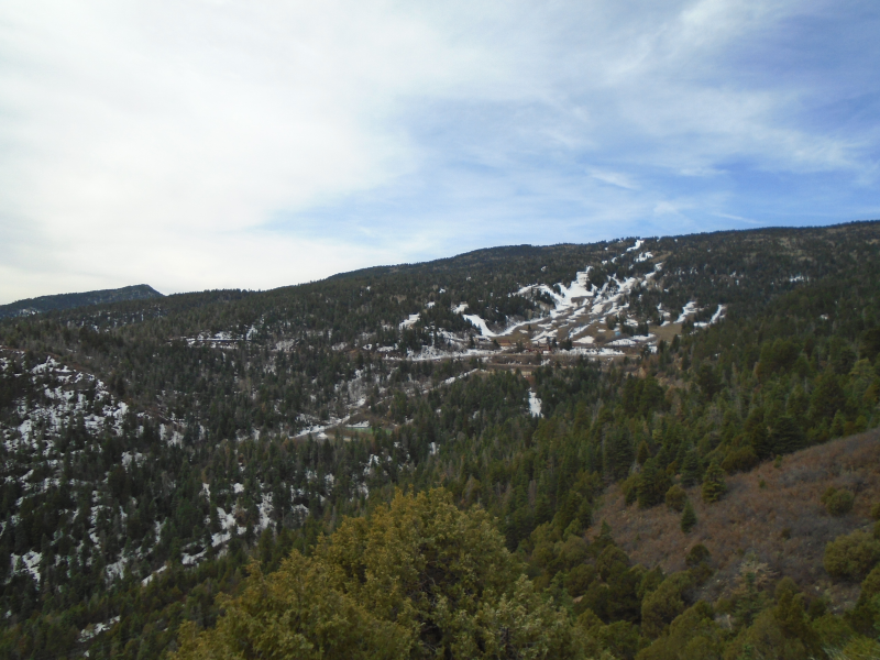
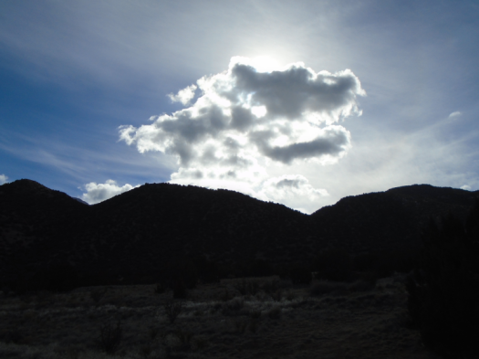
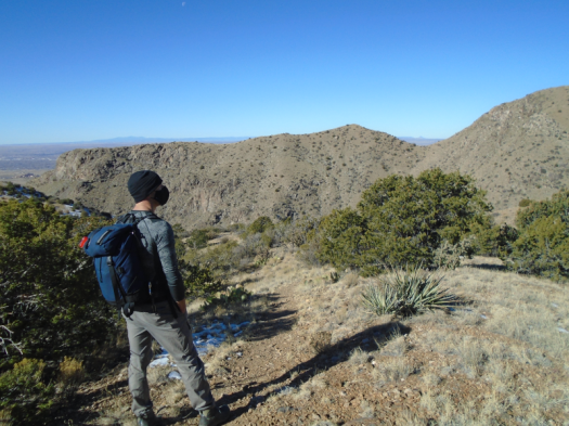
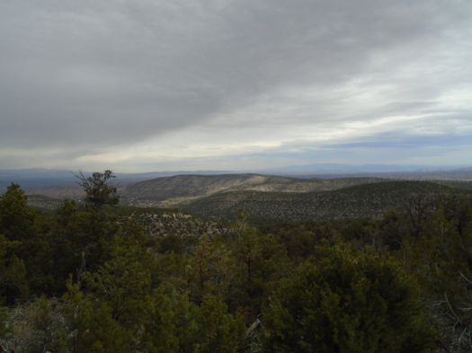
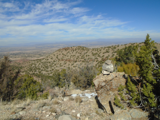
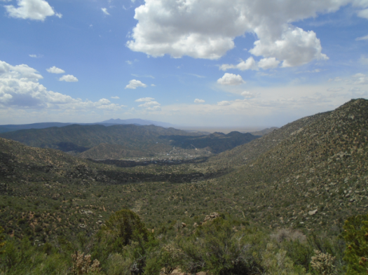
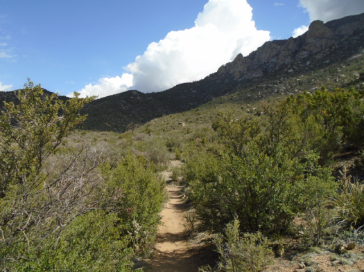
It’s supposed to rain tonight in the community where the trailhead sits. But 1,500 feet higher, the weather’s moving faster.
“I heard thunder on the way up,” the dogs’ owner says.
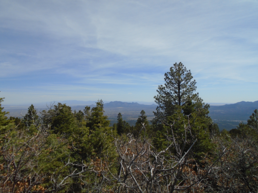
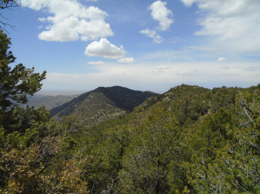
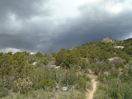
I heard only the sizzling of my leg muscles on the way up. But while I sat at the junction, I watched rain on a ridge a few miles away.
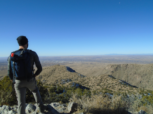
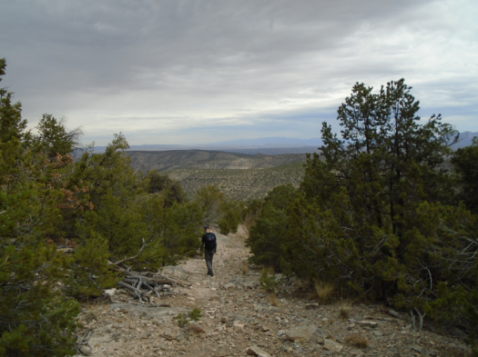
I head back down the trail just a couple of minutes behind the superfit dog owner. She’ll outdistance me in no time, and I need to get down the steepest switchbacks before rain makes them any more slippery.
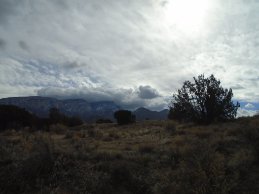
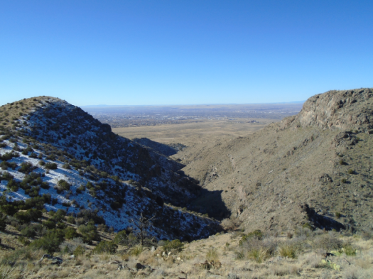
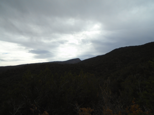
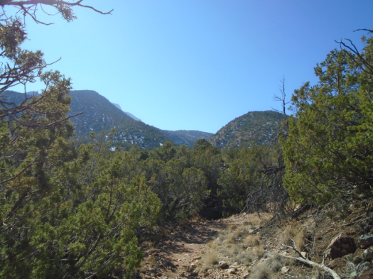
The sky has turned black over the junction where I just sat. Cold wind whips the top of the canyon.
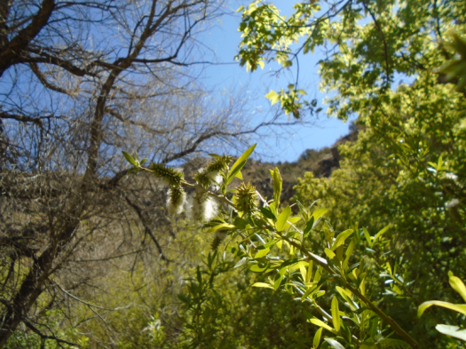
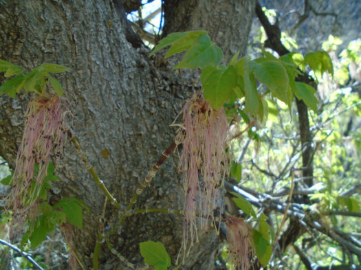
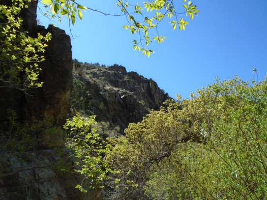
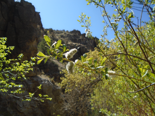
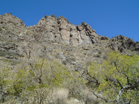
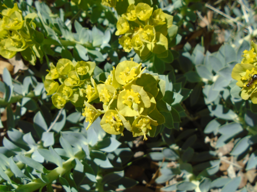
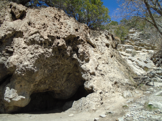
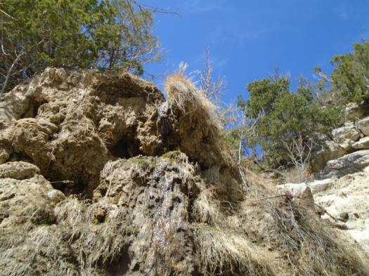
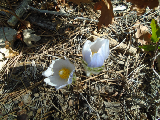
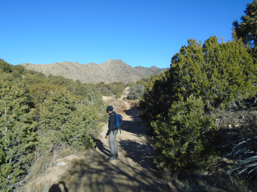
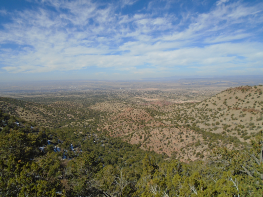
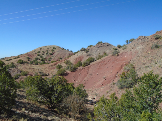
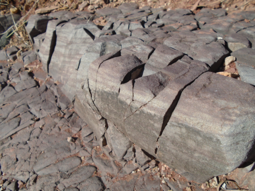
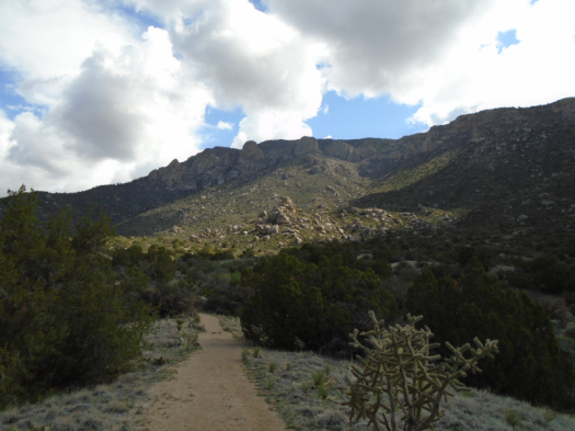
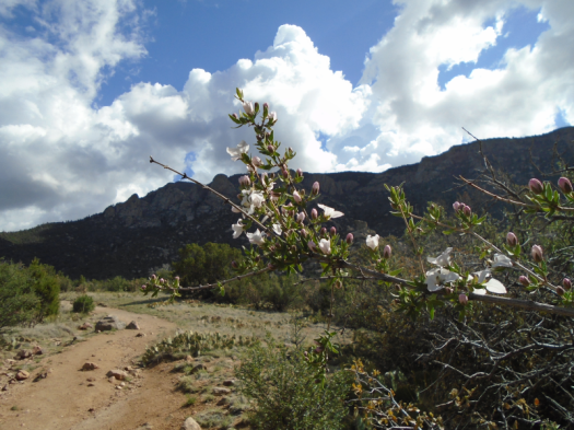
The breeze feels good on this hot, exposed trail, and I’m making decent time. I keep stopping to get pictures of spring light on flowers and canyon walls, one eye on the sky.
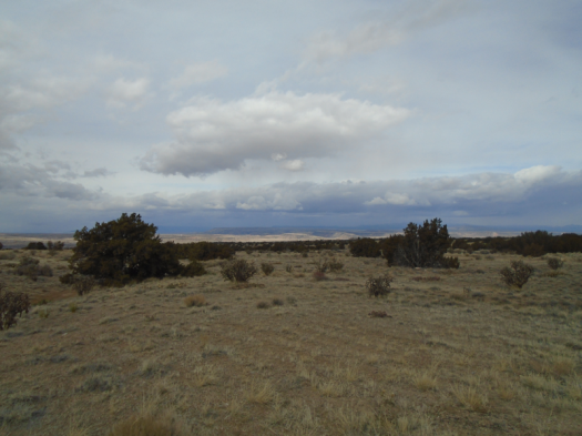
I feel a few drops of rain on the way down.
And I pass several people heading up, taking their chances.
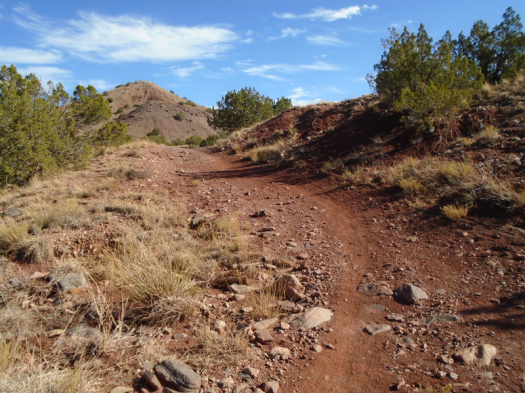
Hike length: 5 miles
Difficulty: the last mile before the junction is difficult
Trail traffic: light
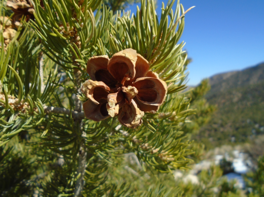
Creatures seen/heard: quail, curve-billed thrasher, blue jays, Stellar’s jay, juniper titmouse, robins, hummingbirds, butterflies, beetles, chipmunk, lizards, crows, raven, hawks