O ye of little faith: Del Agua Trail after a storm will give you something to believe in

“Hear that?”

I do.

It rushes, trickles, gurgles.

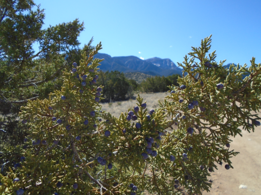
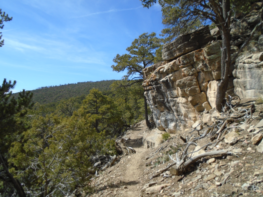
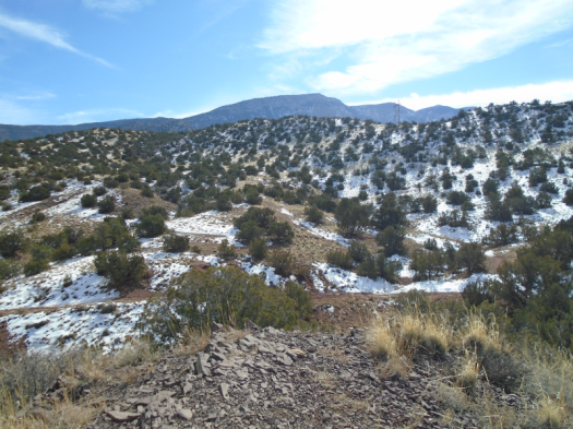
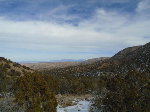
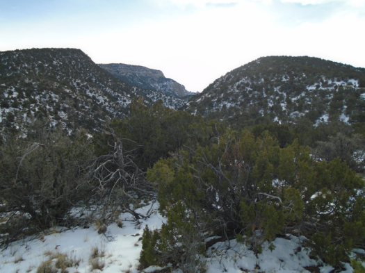
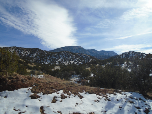
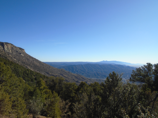
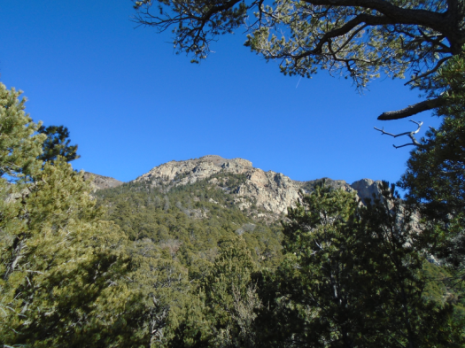
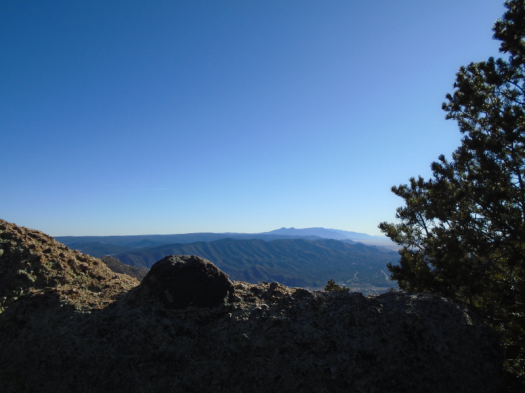
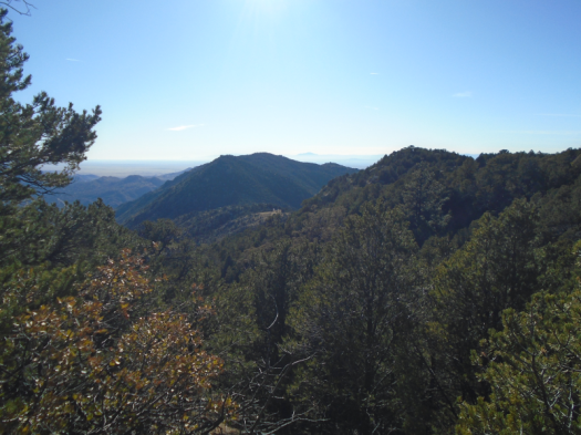
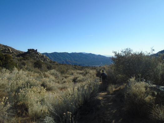
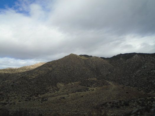
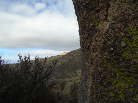
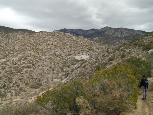
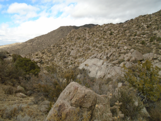
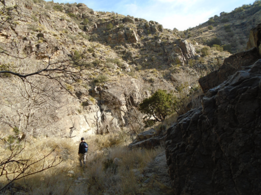
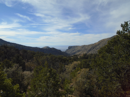
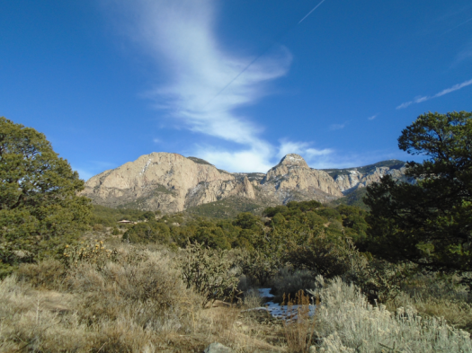
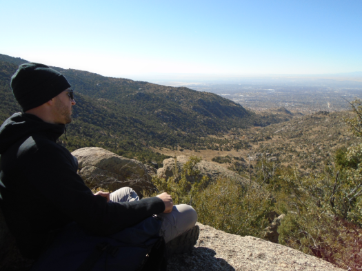
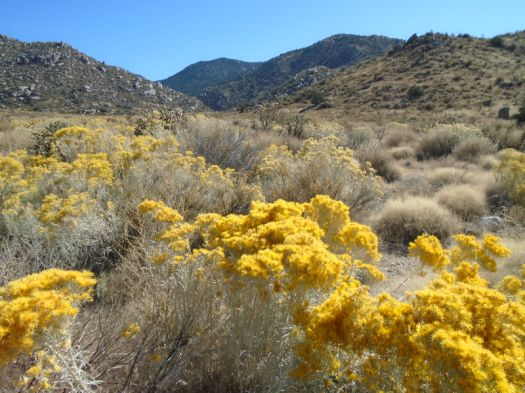
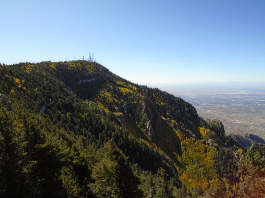
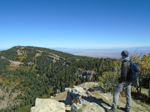
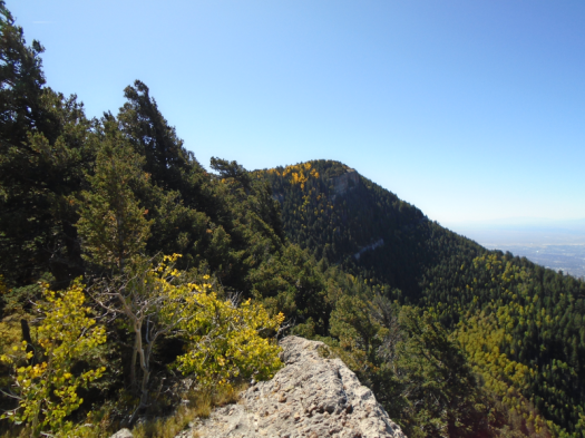
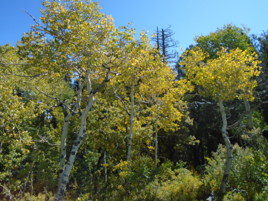
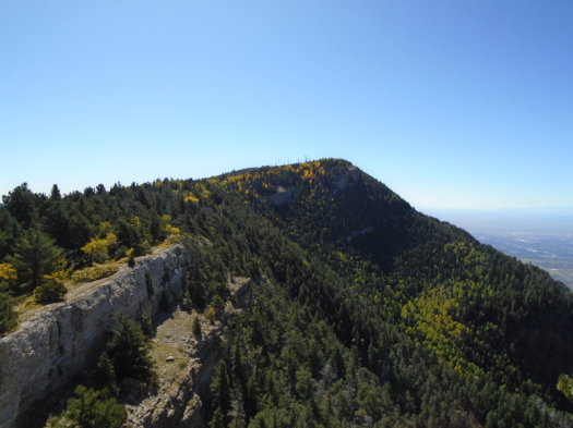
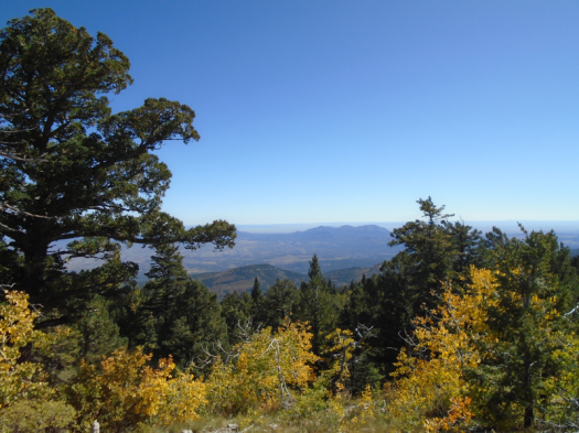
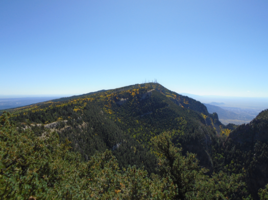
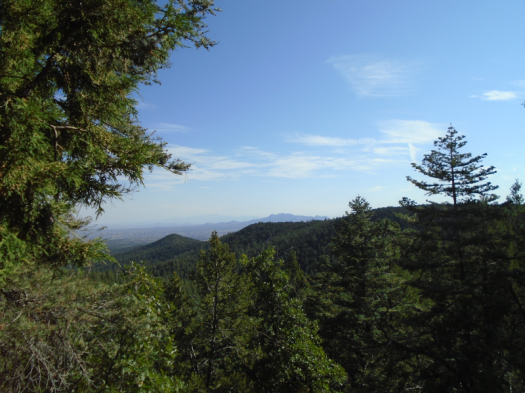
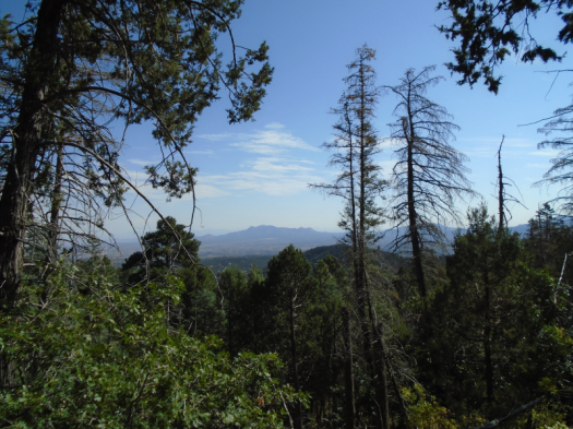
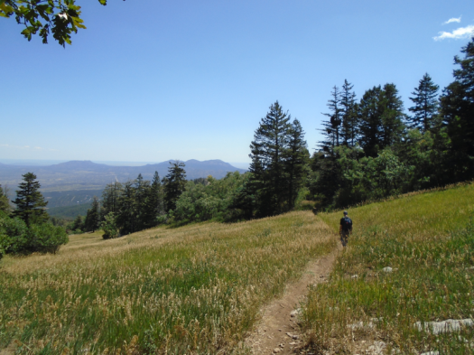
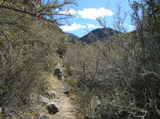
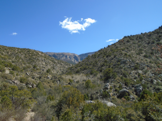
I shouldn’t be surprised. We are, after all, on Del Agua Trail, at the north end of the Sandias.

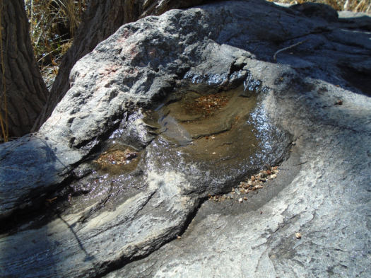
But I live in the desert. Where a wet spot that flows a few weeks a year merits the name “spring.” Where even a rare perennial spring might be just a drip.

The day after a storm dumped half an inch of rain, we’ve found a gusher.

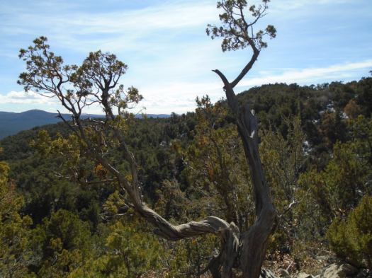
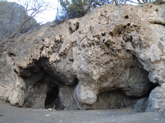
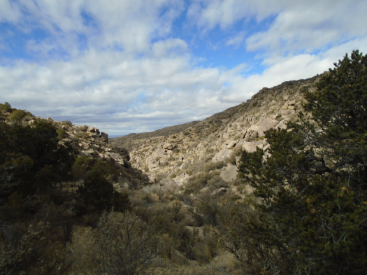
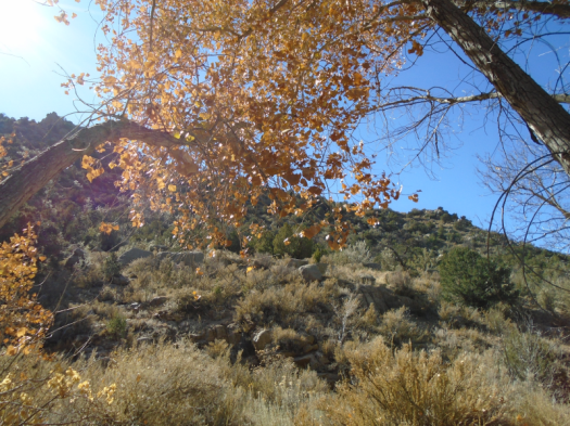
It sounds like a waterfall. It’s not. It’s a stream. It runs for at least half a mile. There, the trail and the stream cease crossing each other and become one. We turn around.

DSC03535.JPGDSC03537.JPGDSC03541.JPGDSC03547.JPGDSC03550.JPGDSC03554.JPG

DSC03559.JPG

DSC03560.JPG
The stand of cottonwoods where the stream lives is in the center of this photo

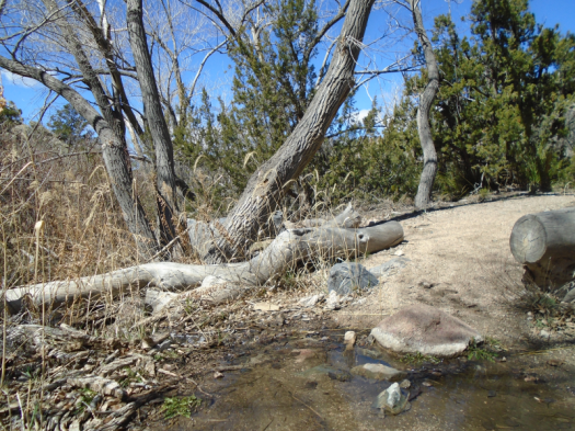
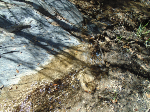
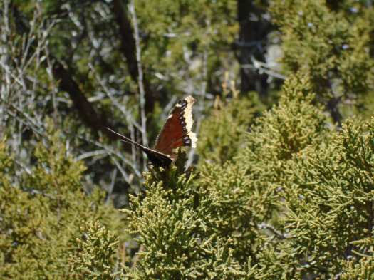
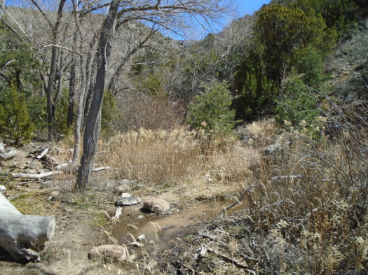
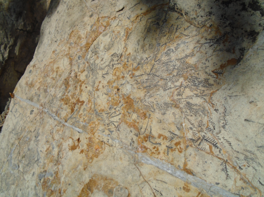
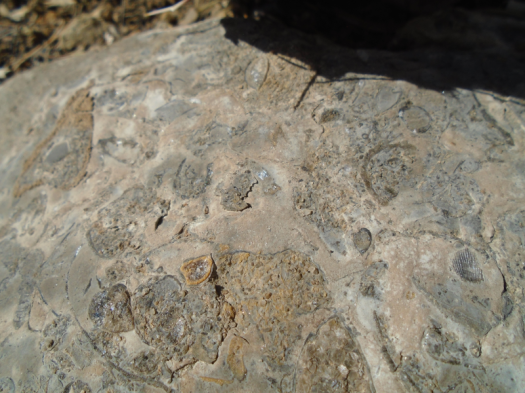
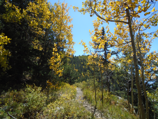
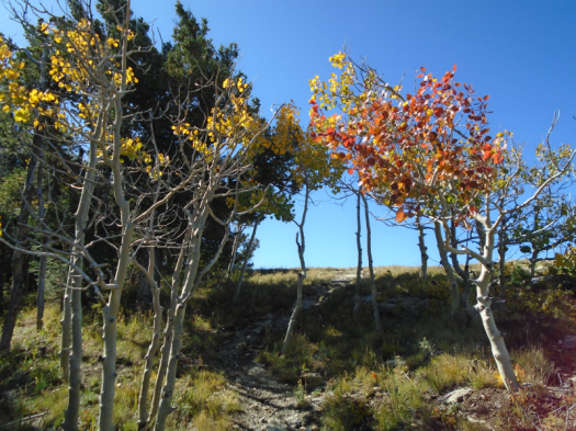
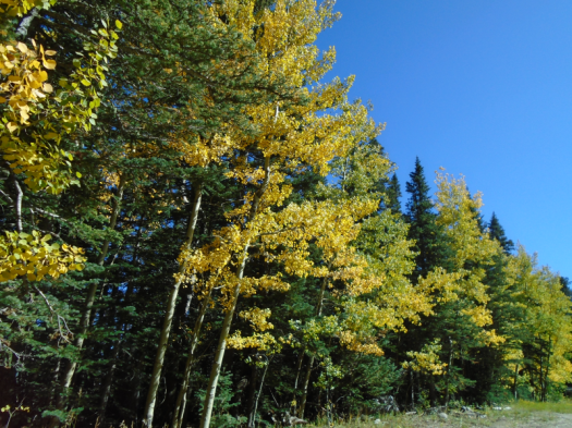
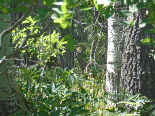
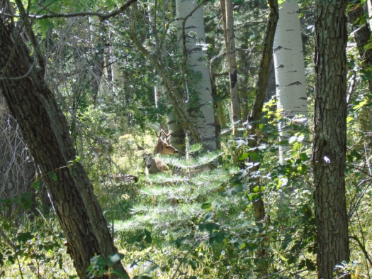
Miles inside granite, this stream nourishes a stand of cottonwoods, reeds, grasses. Birds call. Butterflies flutter.

Exodus 17: Strike the rock, and water will come out of it, so that the people may drink.

Tomorrow morning, Sunday, my church will have no services. It probably won’t have services for weeks, as public health officials urge us to avoid gatherings, keep “social distance,” and slow the spread of the new coronavirus.

I have been a churchgoer since I was a little girl. Nine years ago I left the faith I grew up in, but I didn’t leave church. I walked out those doors one Sunday and into other doors the next Sunday, and the next, until I found a church that felt like home.

Four walls do not make a faith. But without them, do I really have it?

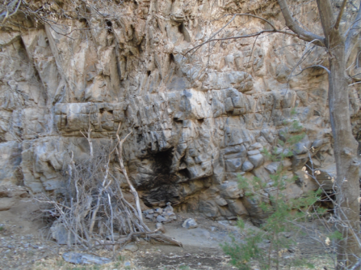
I didn’t believe there was water in this canyon until I saw it, which is the definition of not-faith.

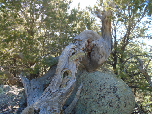
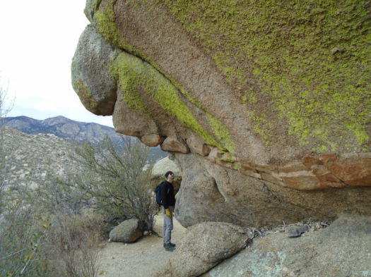
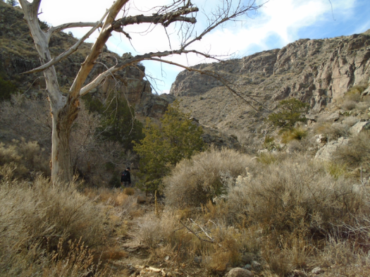
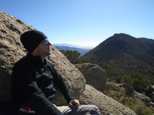
I sit beside the unbelievable stream. My husband leaps onto a giant fallen cottonwood trunk and walks down it.

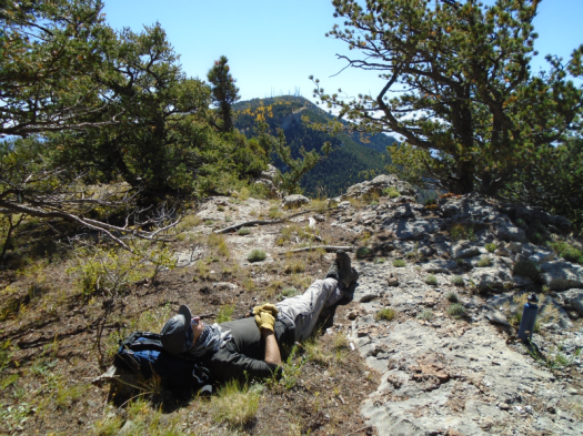
He has leapt onto many less-advisable things with no consequences. But today his luck runs out. His foot slips and he lands with all his weight on his left ankle. A sprain.

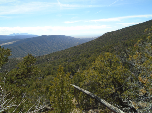
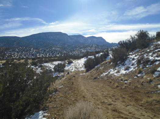
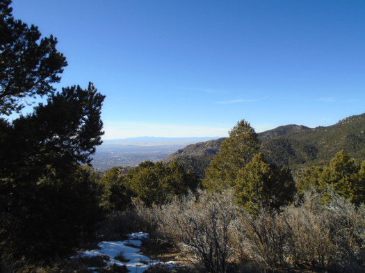
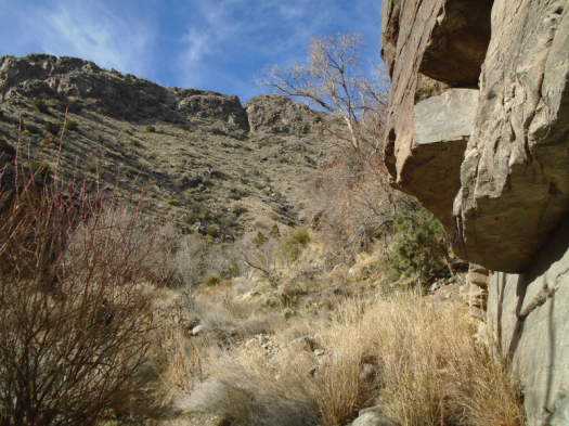
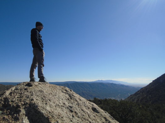
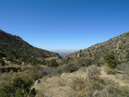
Our car sits more than three miles away.

DSC03557.JPG
Tree my better half should not have walked down

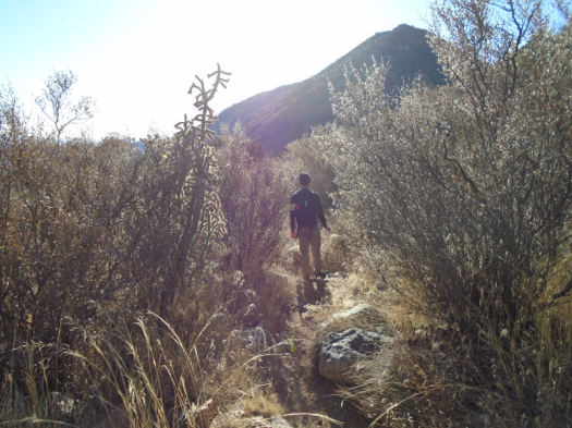
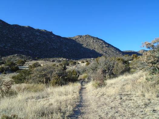
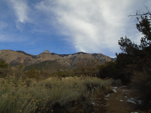
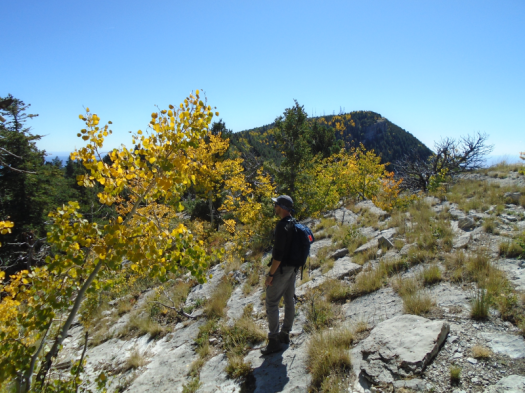
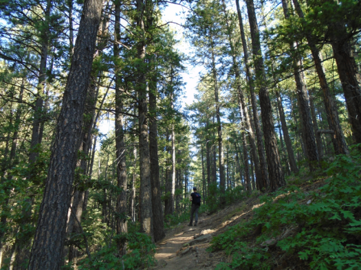
If we can get to the bottom of this steep trail, I can walk the two miles of forest road back to the car and drive it down to the trailhead to pick him up. My little car and this rough road are not a great match, but I’ve driven it out here before.

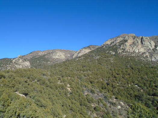
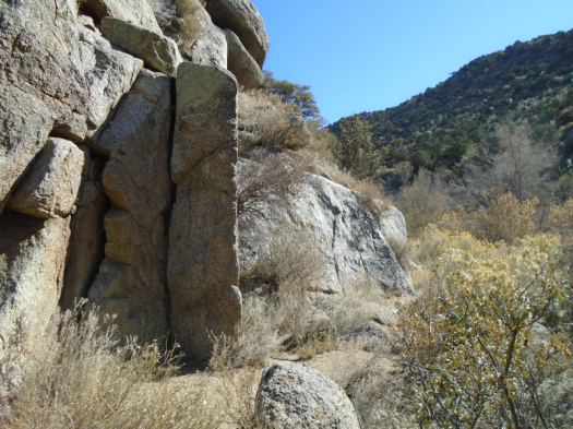
We navigate the trail around ridges, through arroyos. I look back at my husband. He doesn’t want to throw me off balance on the narrow trail. Instead, he leans on one of my hiking poles for support, favors his right leg and braces himself on rock with his right hand.

He catches my eye and grins, despite the pain.

Fifteen years ago, when we were dating, we traveled from the East Coast to visit his family in Santa Fe. My husband and his dad got violently ill with a stomach bug. As weak as my husband was, as bad as he felt, he still smiled at me and spoke with kindness.

That’s when I knew.

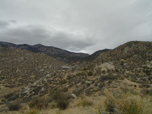
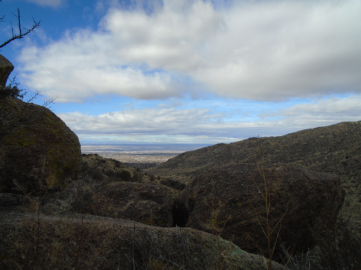
I catch a glimpse of a vault toilet far below. I know this toilet; I call it “toilet in paradise,” because of its beautiful setting. At the trailhead.

If I can see the trailhead, we can reach it.

Here I go again, believing only what I can see.

Still, it feels like faith.

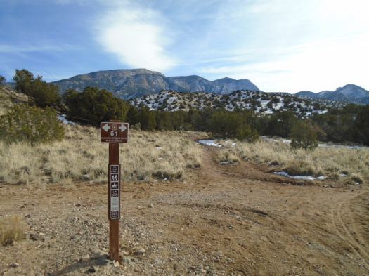
Hike length: 6+ miles

Difficulty: moderate

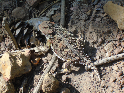
Wildlife spotted/heard/smelled: Western bluebirds, butterflies, skunk, pinyon jays, crow, box elder beetles

Trail traffic: light

DSC03524.JPG

Butterflies and chalky cliffs on the South Crest Trail

Something dark moves. I jump.

It darts, resolving into a deep brown butterfly, wings tipped yellow.

These butterflies have been my constant companions on this hike. Occasionally, smaller orange and gray butterflies join them, often in pairs.

Spring hovers on the South Crest Trail. Mud puddles on shaded switchbacks two weeks after the last snow, the earth around the mud baked hard. Mountain bluebirds flock and chirp above canyons layered with evergreen.

My legs and lungs, on their first long hike at elevation since fall, slowly settle into rhythm.

DSC03497.JPG
The bump on the horizon is Cedro Peak in the Manzanita Mountains
DSC03513.JPG
San Pedro and Ortiz mountains on horizon

DSC03520.JPG

West of the junction with Upper Faulty Trail, a tunnel of trees frozen in autumn. Dead leaves carpet a layer of ice.

A short climb later, limestone cliffs ripple, chalky, like the ones we saw at Palomas Peak last summer. Green yucca blades stud the ivory rock.

DSC03507.JPG

Three miles into wilderness, I hear the whoosh of semis on Interstate 40 below.

Snow caps the top of Tijeras Canyon’s walls. The Manzano Mountains, which looked naked as a jaybird from Abó Pass last week, are clearly snowpacked above 8,000 feet.

DSC03503.JPG

The sun inhabits every surface. My ears tingle in the breeze.

A day to linger, soak in warmth, stop at every overlook, breathe in the smell of spring mud.

And be frequently startled by butterflies.

DSC03490.JPG
Marine fossils
DSC03512.JPG
More fossils
DSC03522.JPG
Travertine cave

Hike length: 6 miles

Difficulty: moderate

Trail traffic: moderate, none west of Upper Faulty Trail

Wildlife spotted: butterflies, nuthatch, crows, mountain bluebirds, pinyon jays

Colorful Strip Mine Trail turned my boots into a work of art

I stand on purple rock.

I look out at a rust-red hill, streaked with more purple.

DSC03277.JPG

DSC03280.JPG

DSC03270.JPG

I’ve already seen one pinyon jay, then a flock of 20 or more, dart across the trail.

And I’ve questioned my decision to hike alone without bear spray, thanks to two big piles of bear scat. (I thought they were hibernating…)

I’m hiking Strip Mine Trail in the Sandia Mountain foothills in Placitas. Another surprise: even this sunny, exposed trail has a good bit of snow and mud today. The snow probably totals two inches, but it’s enough to make the climb of about 1,000 feet a deliberate clomp.

Hills recede. The Jemez and Sangre de Cristo ranges, covered in snow, appear on the horizon. Watercolor Placitas below, mesas topped in green.

I take a wrong turn, end up on a path local residents take from home to wilderness (lucky them.) I retrace my steps, climb again. At last, a giant cairn, a lunch spot clear of snow.

DSC03281.JPG

DSC03284.JPG

I sat down to my sandwich wiped out, but fortified by peanut butter and honey, I want to go farther. I follow a few footsteps, then deer tracks, then nothing. A smooth curve of snow wraps around the side of the mountain. The ultimate temptation. But unsafe without spikes.

Another side path beckons as I head down. It’s sunny and relatively dry, but insanely steep.

Instead I return through the mud and snow only slightly faster than I went up. I sit on a rock in the winter sun until cloud takes over.

DSC03272.JPG

DSC03289.JPGDSC03288.JPG

When I arrive at the trailhead, my boots are as purple, red and white as a Jackson Pollock painting.

Hike length: 6 miles

Difficulty: moderate

Trail traffic: almost none

Wildlife spotted: pinyon jays, crows, hawks

All the sunshine in the world: Winter solstice at Three Gun Spring

If this crossroads had a boulder to lie on, I’d be asleep in the sun.

Even sitting upright with my backpack for a cushion, my eyelids droop.

The 1,800-foot, 2-mile climb to the junction of Three Gun Spring Trail and Embudo Trail contributed. But the perfect nap conditions come from the direct sun. It pours onto this trail, this crossing, into my cells, warms me inside out.

Just as I sought on the shortest day of the year.

DSC03113.JPG

The hike up always makes me wonder if sun poisoning can happen when it’s 45 degrees. I roasted even in my floppy hat and long sleeves. The hoodie came off less than a mile in.

The canyon looks like an undifferentiated mass of boulders from the highway below. Birds dart among junipers in its lower reaches. As switchbacks lift you into the sky, the griddle turns on. This canyon soaks up heat and holds it.

The reward: the stone walls that stretch into the blue. The layers of mountain ranges rolling to the south. The warmth to take me all through the winter.

Just as my legs reach their limit, the junction.

Even a few steps from this crossroads, trees press in, temperature drops, snow and ice patch the trail. Every turn presents a new view of soaring stone.

DSC03117.JPGDSC03122.JPGDSC03125.JPGDSC03127.JPG

DSC03124.JPG

Solar fortified, I descend the steep path with confidence, hips slightly ahead of my torso, heels into the earth. We pass another sun seeker lying on the hillside.

DSC03128.JPGDSC03132.JPGDSC03136.JPGDSC03139.JPG

We reach the canyon’s heart again. The sun goes from blaze to glow.

“Happy solstice!” call two women on their way up.

Right behind them, a couple with hiking poles.

Someone leaving the trailhead with poles at 3:23 p.m. on the winter solstice can have only one thing in mind: watching the year’s earliest sunset from the junction.

I can’t imagine navigating down that trail at dusk, but there’s no better place to soak up every last minute of sun.

Hike length: 4.5 miles

Difficulty: Officially, moderate. This section gets a solid difficult rating in my book.

Trail traffic: moderate, but none above the junction

Wildlife spotted: pinyon jays, blue jays, hawk, robin, juniper titmouse, beetle

TIPS: To continue a theme, this is hot and rattlesnake-friendly terrain, and I don’t recommend it April-October.

Embudo Canyon from a horse’s-eye view

One can scramble up giant boulder slabs in Embudo Canyon’s throat.

Or one can make like an equine, take the Embudo Horse Bypass, and walk along ridges above the canyon.

Today we chose the latter.

Winter and the end of fall played silent tug-of-war. Clouds blanketed the foothills, cast cool light on granite and cholla. Sun bathed the valley and mesa below.

Sturdy pines, a flash of bluebird appeared in the yucca, cacti and stone.

DSC03070.JPGDSC03072.JPG

DSC03081.JPG
The boulder that ate my husband

DSC03082.JPGDSC03088.JPGDSC03090.JPG

Paths wrapped around gigantic boulders. From the ridge’s edge, we peered down on the canyon walls, stacked slabs of stone.

DSC03094.JPGDSC03096.JPGDSC03101.JPG

We took a side path up a steep ridge, gazed all the way to the Magdalena Mountains, 100 miles south. Cold wind whipped our faces. We retraced our steps and followed the bypass down to the canyon’s shelter.

I came to this trail today seeking winter’s endless sun.

But in the cool cloud light, I could see much more.

Hike length: 4.4 miles

Difficulty: moderate

Wildlife spotted/heard: bluebird, bluejay, crows, flycatchers, juniper titmice

Trail traffic: moderate (very light on the horse bypass)

Juan Tabo Canyon from the bottom up

I’ve climbed steep paths for a dramatic view into Juan Tabo Canyon.

But I’d never seen its rugged rock walls rise hundreds of feet above me.

Until yesterday.
You can get a good gander at the Sandias’ Shield, Prow and Needle from many spots near the canyon. Yesterday’s hike took us through the canyon’s less-traveled northern sections.
Down arroyos, following footprints and deer tracks. Through stands of bare trees and brush. Over damp rocks where a stream had recently flowed.
The sun and a light breeze warmed us. Still, our feet crunched snow in shady spots.
We squeezed against jagged slate canyon walls. The further south we went, the higher the rock rose above. Mountain chickadees and towhees darted from juniper to juniper.
It made me wonder if this canyon bottom would flourish green in a wet spring and summer.
DSC03057.JPGDSC03060.JPG

DSC03061.JPG
Tenacious.
DSC03062.JPG
A cavelike hole in the rock

DSC03064.JPG

Our first view into the canyon looked verdant even today, blanketed with evergreens.
DSC03051.JPG
The light and warmth shortened with the afternoon. Winter cloud cover built.
DSC03065.JPG
DSC03066.JPG
Time to go, taking a new view of the canyon with us.
Hike length: 6 miles
Difficulty: moderate
Trail traffic: very light
Wildlife spotted/heard: hawk, blue jays, spotted towhees, mountain chickadees, Jerusalem cricket
TIPS:
-I recommend this hike, like my other recent ones, November-March. It’s very sunny.
-This barbell-shaped route comes from Mike Coltrin’s Sandia Mountain Hiking Guide.

The view from the top of Embudo Canyon astounds no matter how you get there

The trail runner leapt onto the rock wall and raced up. His feet met every indentation like magnets.

This is not how I tackle the challenges of Embudo Canyon.

To climb its sloping boulder-shelves, I requested my husband’s assistance from above. To descend them, I scooted down on my butt.


When we got to a black diamond section of very steep switchbacks, I stopped frequently, laboring to push myself up to the next rock. Later, I moved down the switchbacks only slightly faster than a glacier, crouching to keep my center of gravity low, contorting myself into any position that would put a foot in contact with something semi-flat.

I did this even though I’ve been hiking long enough to know that climbing or descending a steep grade slowly taxes your muscles way more than walking briskly down it, planting confident heels into the earth.

Sure enough, after I descended the switchbacks, my legs quaked like aspens and I still had two more miles to hike, including the boulder descent.

But.

I reached my destination, a ridge steeped in sun and wind at nearly 8,000 feet. One mountain range after another rippled blue in the distance: Manzanitas, Manzanos, Los Pinos. I’ve hiked them all and seen them from many vantages. But I would never have guessed you could see them all from so far north and west.

DSC02819.JPG

DSC02820.JPG
Looking west over Albuquerque

DSC02822.JPGDSC02825.JPGDSC02830.JPG

Below us, a sunbaked valley alight with chamisa. A brown stand of cottonwoods’ final show of the year.

DSC02801.JPG

DSC02812.JPGDSC02816.JPG

DSC02808.JPG

I will keep working to build more confidence on steep trails, since many of the best places are at the top of them.

I will also celebrate when I get to the top my own way and at my own pace.

Hike length: 6.2 miles

Difficulty: moderate except for the black diamond section near the top

Trail traffic: moderate

Wildlife spotted: sparrows, blue jays, robins, crows, butterfly, beetles

Fall above all on the North Crest Trail

The trail begins yellow, black and gray.

Mud from Friday’s full-day rain. Cool limestone. Fallen aspen leaves.

A side path takes us to the edge of the world. Colors explode. Deep blue sky, green spruce and fir, yellow aspens glowing in canyons far below. Cold wind steals our breath.

DSC02605.JPG

DSC02671.JPG

These side paths tangle for miles, lift us away from the North Crest Trail, onto a long limestone ridge. Parallel to The Needle, a giant cave-pocked thumb of rock that, today, looks dusty pink.

DSC02610.JPGDSC02614.JPGDSC02616.JPGDSC02624.JPGDSC02628.JPGDSC02633.JPGDSC02640.JPGDSC02645.JPGDSC02649.JPG

We pass a group of mountain climbers on a broad rock ledge. Two miles later, when we look back from high above, they’re still there, tiny, presumably taking turns belaying.

Fall brings such luxury. We soak up sun on a rock outcrop for nearly an hour, unconcerned about outracing thunderstorms or brutal summer afternoon heat. Creatures begin to forget we’re there and return to business. Stellar’s jays hop among low tree branches.

DSC02656.JPG

DSC02658.JPGDSC02668.JPG

DSC02675.JPG

At the highest point we reach, ladybugs swarm the limestone, and deer scat dots it.

When we return on the North Crest Trail, the sun’s higher in the sky, bringing the trail and cliff-edge worlds together. Blue and yellow slice through the tall, dark forest tunnel.

One last peek at a side overlook. Yellow aspens flame against a green mountain.

DSC02673.JPG

From a cold, dark morning, a world of color and light.

Hike length: 5.6 miles

Difficulty: moderate

Trail traffic: light

Wildlife spotted/heard: crows, mega-raven, vultures, hawks, dark-eyed juncos, nuthatches, blue jays, Stellar’s jays, grasshoppers, squirrels

North Mystery Trail’s biggest mystery: what season is it?

Dead. Depressing.

My husband’s description of the terrain we just walked through.

North Mystery Trail isn’t a burn-scar moonscape. We’ve seen those, in the Dome Wilderness and the Manzano Mountains.

But if you stand on the east slopes of the Sandia Mountains, as I have been blessed to do a lot this summer, you will see plenty of gray and brown pocking the green. Trees that just ran out of what they needed. Water. Oxygen. Time.

North Mystery Trail has life, lots of it. Red-breasted nuthatches dart through healthy, towering stands of ponderosa. Yellow, orange and black butterflies trail us. A rust-red horny toad comes into and out of focus against the soil beneath.

DSC02376.JPGDSC02382.JPGDSC02383.JPGDSC02385.JPG

The universal smell of autumn, dead leaves, greets us too. But it’s midmorning at 8,000 feet in September, and it’s 80 degrees. Everything still living is churning out chlorophyll for all it’s worth.

Below us, in Albuquerque, temperatures climbed above normal virtually every day of August.

The warming of the Southwest is not a blip, one of those unseasonable weather patterns that have happened occasionally since the beginning of time. This is the pattern now.

Under my feet, fossil whorls dot the limestone.

What will remain of this ecosystem in 20 years, or 50, or 100?

The two of us, today, did not get up the back side of the Sandias by public transit or bicycle. So yes. We are part of the problem. We are the problem.

I hope we can also be part of the solution.

My photos and my words from this day don’t really match. I mostly took the green pictures with the views instead of photographing the dead and withered trees and plants. I didn’t know I would write these words until I wrote them. A lesson for me.

DSC02392.JPG
Sap on a tree whose branches are mostly dead

Hike length: 5ish miles

Difficulty: moderate

Wildlife spotted/heard: crow, woodpeckers, red-breasted nuthatches, chickadees, butterflies, grasshoppers, horny toads

Trail traffic: light

Accidental hike on an empty ski slope, high summer, Sandias

We stand in the middle of the trail and sway.

The motion intrigues the three deer staring at us: two does and a buck with fuzzy four-point antlers.

DSC02325.JPGDSC02321.JPG

One deer walks away, then another, but one doe doesn’t budge.

As we watch her, the other two come into focus again behind her. Funny how the longer you look, the more you see.

We stand there till my heels throb. Only her ears move.

It’s her home, she’s waited out far more than us, and she’s probably still standing there.

***

In general, I subscribe to the adage that a bad day hiking beats a good day doing most other things.

But this came close to being the first hike ever that I did not enjoy at all.

We’d come to explore a shaded trail on a hot day, but couldn’t find the promised trailhead from the Sandia Peak Ski Area parking lot. We figured the path winding up the ski slope would soon lead us there, so we took it.

I grew more and more irked as we zigzagged across the meadow. This would be a fun path to blast down on a mountain bike or shush on skis, but climbing it in blasting sun felt like going nowhere. I got so heated up that it took way too long to realize I hadn’t seen a single one of our trail’s blue blazes.

We kept climbing, thinking we’d intersect another trail and could get down using the trail we’d originally planned to hike. Eventually, though, we realized we still had so far to go to the trail that we were likely to run out of steam. We turned around.

After nearly five miles, my frustration finally began to dissipate. I couldn’t deny, on the way down, that hiking an empty ski slope in high summer brings many delights.

Waist-high grass and sunflowers wave in the wind. Green views plunge far into the valley. Pale aspen trunks shoot into the sky.
DSC02313.JPG

DSC02327.JPGDSC02328.JPGDSC02332.JPG

My husband suggested a shortcut down a mowed slope to avoid the last of the zigzags,  but with the uphill exertion over, being out there felt good.

Two mountain bikers headed uphill paused on a zigzag above us, midday sun blazing down on their climb.

My husband heard one of them say, “I hate this.”

Hike length: 6 miles

Difficulty: moderate

Trail traffic: light

Wildlife spotted/heard: deer, vultures, flycatchers, chipmunk, butterflies, grasshoppers, nuthatch, eagle? (heard only) Abert’s squirrel (in the middle of the Sandia Crest Highway, unconcerned)

Things to know: The ski area is closed and the mountain bike trail we ended up hiking on was unmarked, unpatrolled and unmaintained. It’s in perfectly good condition, but there are some narrow spots where you might have to dive into waist-high grass if a mountain biker came by.