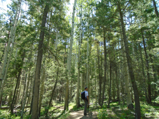
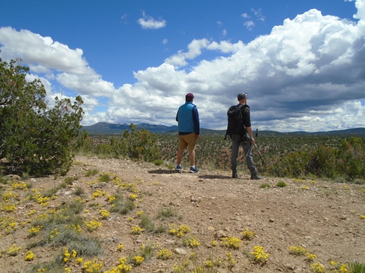
Tramway Trail: A cabin, a spring, the ordinary and the extraordinary

We follow what sounds like the rustle of leaves, find no leaves.

Water trickles from a pipe. Moss blankets the cistern, tucked under a bush. It smells like heaven.

The spring peeps from the rust and rock of the old Jaral ranger cabin’s foundation. You can see the cabin from Tramway Trail. You have to trip over the spring to know it’s there.

DSC03308.JPG

DSC03316.JPG
The spring
DSC03322.JPG
The remains of Jaral Cabin

This trail mirrored the state of my mind.

A house-size boulder, a trickling spring, a sight line through snow-tipped evergreens, the red rock at the base of the Needle.

Then a stretch of boxy houses, barking dogs, bigger houses. All the mundane things you see on city streets, with added elevation.

So went my mind.

Worryworryworry. I have to be somewhere in four hours. Why am I so slow? I need to be done by 2. I won’t be done by 2.

Until a sight, sound or smell captures my mind and it locks in.

Wet earth. Slick of ice in the shade. Melt. Mud.

Steps from the ice chute, a sunny hill. Dead leaves layer bone-dry dirt like it’s October.

From a rocky ridge, I look into rumpled Juan Tabo Canyon, the breeze drying my sweaty back.

DSC03324.JPG

DSC03326.JPG
Juniper: my favorite scent, my most potent allergen
DSC03329.JPG
Tinaja

DSC03331.JPGDSC03335.JPGDSC03337.JPG

I didn’t finish as early as I meant to.

I got to the next thing later than I meant to.

I didn’t care.

Hike length: 4+ miles

Difficulty: moderate

Wildlife spotted: blue jays, mountain chickadees, cottontail

Trail traffic: moderate

Eye of the Sandias: Seeking shelter in inhospitable places

I start this hike angry.

I’m angry about the brisk wind shushing across the hills. The forecast called for zero wind. Being out in the wind is one of the biggest risk factors for me having a giant gusher nosebleed this time of year. Now I’m worried.

I’m angry because I’m tired of worrying about my health. Due to my extreme juniper allergy, I spent six days of January in bed, three with a fever.

I’m also angry at someone. Two people, actually, neither of whom are here.

But I have made it to a trailhead, so we’re going hiking, anger notwithstanding.

We’re in an open bowl, city on one side, the southwest flank of the Sandias on the other. Our destination is a human-painted eye on a rock reached by a steep climb. As we ascend, we pass a man huddled under a juniper.

It’s rare to see a homeless person while hiking a trail in Albuquerque, but it happens. Our city is failing at meeting the needs of our population. There are more people all the time on the streets, under a bush. The loudest response to this enormous amount of human need – with notable and wonderful exceptions like the Albuquerque Indian Center – seems to be “not in my backyard.”

We climb to a saddle, then make a long, steep corkscrew up. Tijeras Canyon and the Manzanitas and Manzanos emerge below. Two people in white T-shirts climb a red rock outcropping across the canyon.

DSC03297.JPG
The white dot on the red outcropping is a person

Blue blazes down on us. The sections of the climb surrounded by boulders warm us. The parts on a high ridge huff cold wind in our faces.

I crest another ridge, see a crumpled mass of clothing, and shudder. A sleeping man? A dead man? Just some sweatshirts someone, probably the man under the juniper, left behind.

We reach a high landing. What little vegetation exists here tosses in the wind like we’re on top of Everest.

I gauge the final climb to Eye of the Sandias. It will mean at least half an hour with that wind in my face. That doesn’t seem wise, and I don’t really care about missing the rock. I’m in the most compelling scenery.

DSC03303.JPGDSC03302.JPG

Nothing looks the same going down through the warren of social trails. My husband and I argue about the right way back. I think he’s going too far south. We cliff out repeatedly, then descend a path steep enough that I slide down a decent chunk of it on my butt rather than even trying to stay upright. (Today may have been last rites for my five-year-old REI pants.) We emerge north of where we began this morning, indicating that my husband had been headed toward the right trail.

As we get close to the car again, I catch myself smiling. There are worse things than being out here under rock and sky.

That is, if you have someplace sturdier than a juniper to go when it’s time to get out of the wind.

DSC03293.JPG

Hike length: 4.5 miles

Difficulty: moderate

Trail traffic: moderate

Wildlife spotted: pinyon jays

Accidental hike on an empty ski slope, high summer, Sandias

We stand in the middle of the trail and sway.

The motion intrigues the three deer staring at us: two does and a buck with fuzzy four-point antlers.

DSC02325.JPGDSC02321.JPG

One deer walks away, then another, but one doe doesn’t budge.

As we watch her, the other two come into focus again behind her. Funny how the longer you look, the more you see.

We stand there till my heels throb. Only her ears move.

It’s her home, she’s waited out far more than us, and she’s probably still standing there.

***

In general, I subscribe to the adage that a bad day hiking beats a good day doing most other things.

But this came close to being the first hike ever that I did not enjoy at all.

We’d come to explore a shaded trail on a hot day, but couldn’t find the promised trailhead from the Sandia Peak Ski Area parking lot. We figured the path winding up the ski slope would soon lead us there, so we took it.

I grew more and more irked as we zigzagged across the meadow. This would be a fun path to blast down on a mountain bike or shush on skis, but climbing it in blasting sun felt like going nowhere. I got so heated up that it took way too long to realize I hadn’t seen a single one of our trail’s blue blazes.

We kept climbing, thinking we’d intersect another trail and could get down using the trail we’d originally planned to hike. Eventually, though, we realized we still had so far to go to the trail that we were likely to run out of steam. We turned around.

After nearly five miles, my frustration finally began to dissipate. I couldn’t deny, on the way down, that hiking an empty ski slope in high summer brings many delights.

Waist-high grass and sunflowers wave in the wind. Green views plunge far into the valley. Pale aspen trunks shoot into the sky.
DSC02313.JPG

DSC02327.JPGDSC02328.JPGDSC02332.JPG

My husband suggested a shortcut down a mowed slope to avoid the last of the zigzags,  but with the uphill exertion over, being out there felt good.

Two mountain bikers headed uphill paused on a zigzag above us, midday sun blazing down on their climb.

My husband heard one of them say, “I hate this.”

Hike length: 6 miles

Difficulty: moderate

Trail traffic: light

Wildlife spotted/heard: deer, vultures, flycatchers, chipmunk, butterflies, grasshoppers, nuthatch, eagle? (heard only) Abert’s squirrel (in the middle of the Sandia Crest Highway, unconcerned)

Things to know: The ski area is closed and the mountain bike trail we ended up hiking on was unmarked, unpatrolled and unmaintained. It’s in perfectly good condition, but there are some narrow spots where you might have to dive into waist-high grass if a mountain biker came by.

Tree Springs Trail: the coolest place around (if you can stay upright)

We step into gale force wind.

The first time I stood on this spot, I understood every bumpy plane ride I’d had over the Sandias on a clear day.

The overlook at the top of Tree Springs Trail provides one of the best panoramas you’ll find of Albuquerque. And, like many a bare rock ledge at 9,500 feet elevation, it gets a daily whipping from the wind.

DSC01968.JPGDSC01972.JPGDSC01975.JPG

Tucked under a tree, we found enough stillness to eat a snack and soak up the sun. My husband explored a rocky promontory we often check out, but the footing’s a little precarious, so I didn’t chance it. Gusts had me listing even when taking a photo well back from the ledge.

Tree Springs Trail traverses high-elevation meadows and ridges, mostly in the shade of fir and spruce, with an occasional sunny climb. It’s a haven for wildflowers, hikers and dogs. Today we witnessed a first: four guys on fat-tire unicycles.

DSC01983.JPG
Fossil in the limestone

We usually flee to Tree Springs when the mercury nears 100 in the valley. Today, unseasonably cool in Albuquerque, felt even more spectacular up here: the temperature on the trail never climbed above 70, and a cool breeze bathed the trail. A brief windstorm had blown away two nights of heavy smoke from Arizona’s Woodbury Fire, leaving fierce blue skies behind.

We capped off our hike with a detour on a side path of Oso Corredor Trail to check out more wildflowers.

DSC01990.JPG

DSC01991.JPG

I don’t know how the Duke City managed to steal this day from early May, but I sure am glad it did.

And, as always, grateful that we didn’t blow away up there.

Hike length: 4 miles, plus side trip

Difficulty: moderate

Trail traffic: popular

Wildlife spotted/heard: vulture, flicker, butterflies, caterpillar, cicadas


Borrego Trail: the power of the creek

“Is that the wind or the creek?”

“It’s the creek,” my husband said.

Sure enough, as we descended, the roar grew louder. A switchback, and the water appeared: wide, deep, fast-flowing. Froth built and dissipated around rocks. Butterflies darted.

DSC01939.JPG

One electric lavender butterfly swooped, landed on a rock and promptly disappeared, camouflaged by the mottled gray on the backs of its wings.

We turned from Borrego Trail onto Winsor Trail, which forms the spine of many a hike or bike ride from Tesuque to the Pecos Wilderness. We walked the Winsor for less than a mile, most of that in sight of the rushing creek, and all in earshot of it.

We emerged from a meadow at Winsor’s junction with our return trail, Bear Wallow. The relatively short distance and the creek make this a very popular loop hike, but we managed to snag a shaded log above the creek for our lunch spot.

DSC01943.JPG

DSC01957.JPGDSC01960.JPG

A hiker and his dog approached the creek, the dog curious but hesitant. He lapped water, dipped his paws in, then retreated up the bank before returning to try it again.

Suddenly, he galloped away and leapt on us, desperate to sniff and share his wet paws. His owner apologized profusely. All we could do was laugh.

We hiked downhill to reach the creek, so there was no escaping the fact that the hike back to the trailhead was all uphill.

The temperature was in the low 70s, a good 15 degrees cooler than Albuquerque.

The landscape changed from the ponderosas around the creek to cool, lanky aspens as we climbed.

DSC01934.JPG

Still, I sweated my way up the many sunny ridges.

I find it harder to motivate for a climb when there’s a hot car waiting at the top instead of an overlook, but it was more than worth it to see and hear the creek’s power.

Hike length: 4 miles

Difficulty: moderate

Trail traffic: plenty

Wildlife spotted/heard: butterflies, hawk, cicadas


The rugged Sandias where few travel: Palomas Peak

I. Capulin Peak

We step onto the overlook and into a bird ballet.

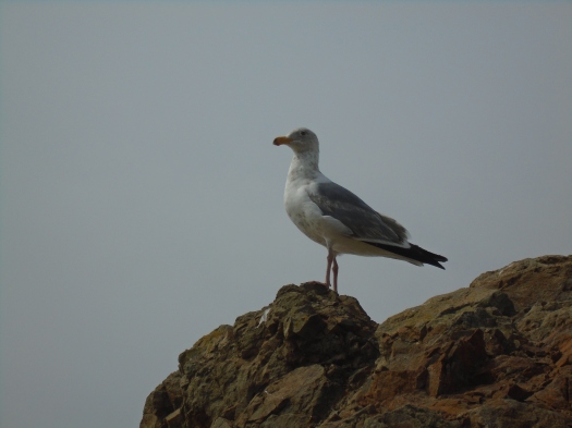
Vultures and hawks soar above us, riding the cool breeze that whips at the overlook.

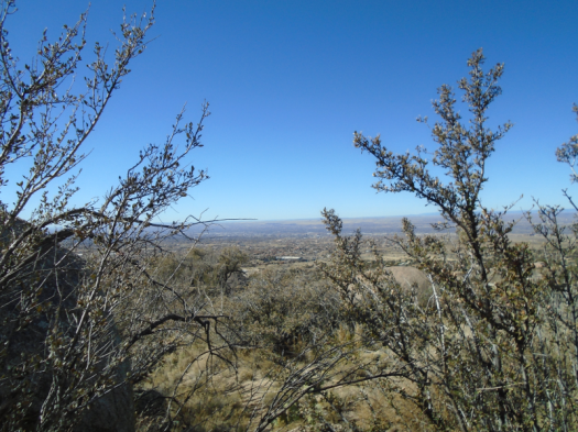
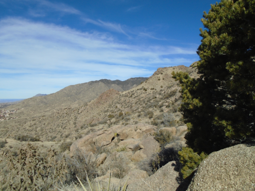
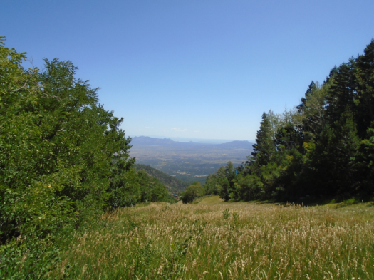
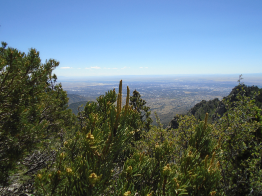
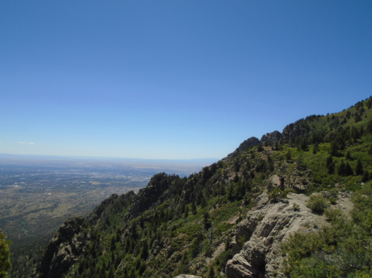
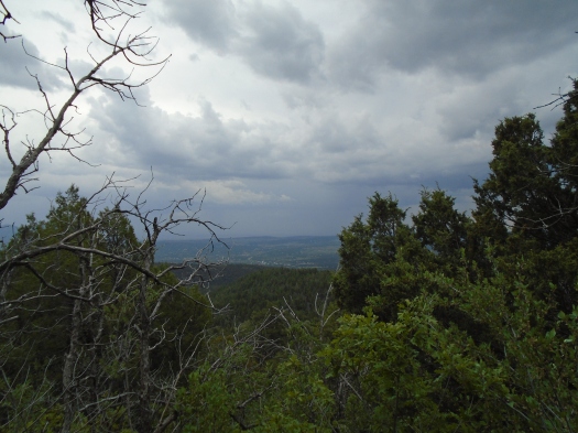
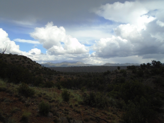
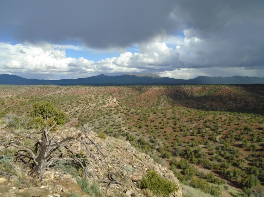
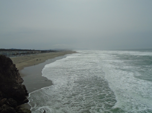
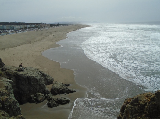
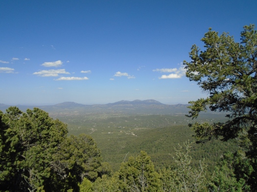
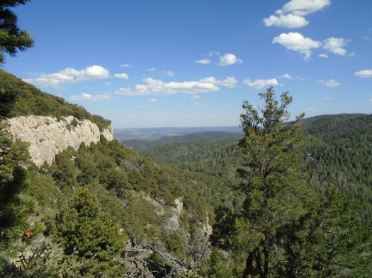
The Estancia Valley rolls away to the east. Veins of red soil ripple the green plains between us and the San Pedro and Ortiz mountains.

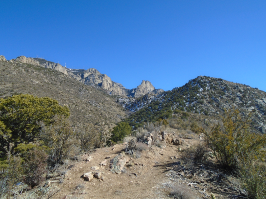
We stare out at a giant obelisk, a Titanic of rock, pale cliffs rising from forested slopes.

DSC01906

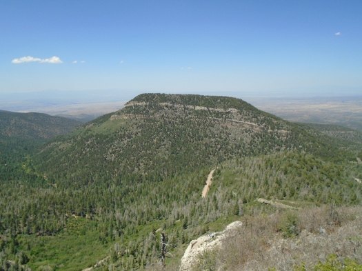
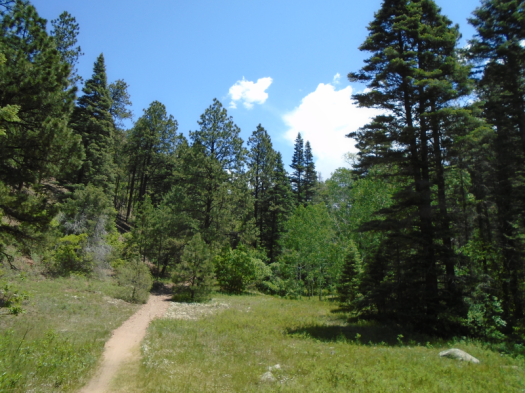
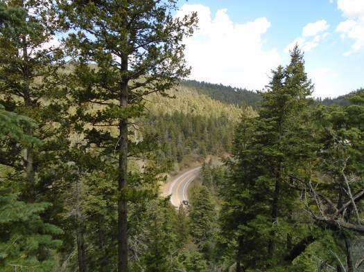
Between us and the obelisk, a wooded valley. A dirt road plunges into the valley, rolls around it, then climbs out the other side.

I want to go there, I think.

Then I realize that’s the place we already planned to go next.

II. Palomas Peak

My knees scream.

Something screams louder.

“Is that a mountain screamer?” I ask my husband, trying to make light of the sound. I’d learned from a dialect quiz that in some places in the U.S., people call mountain lions “mountain screamers.”

He laughs.

Some kind of bird we can’t see is making the sound, an eerie one I’ve never heard, and it doesn’t let up. I wonder if it’s in distress, or distressing something else.

I wonder if it’s at the edge of its capabilities.

I’m pretty sure I am.

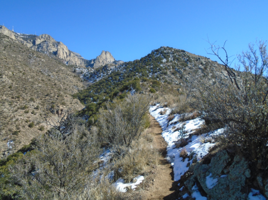
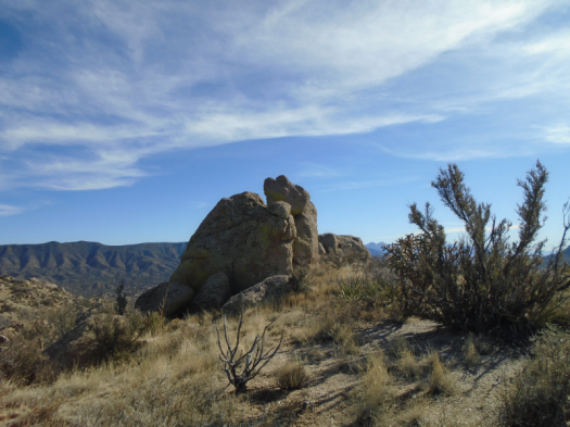
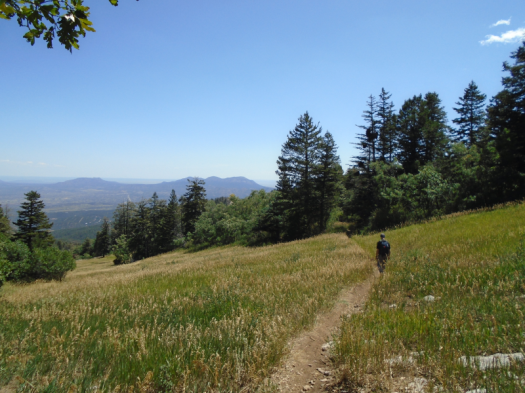
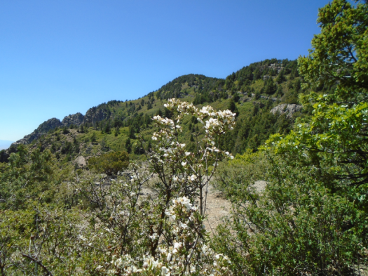
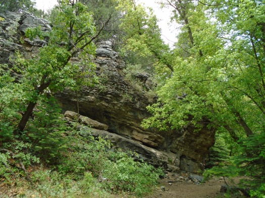
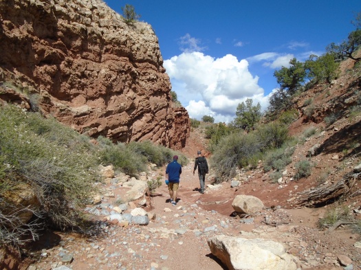
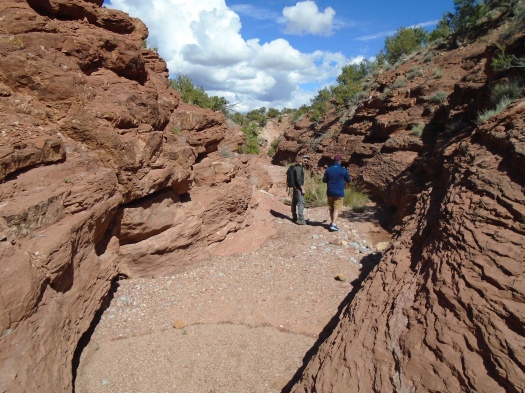
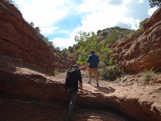
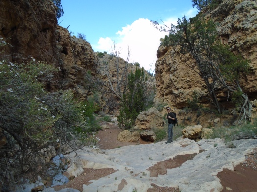
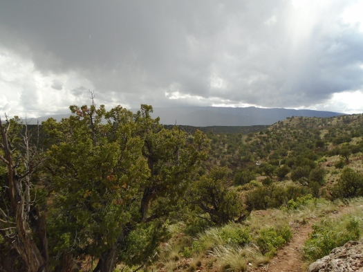
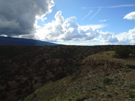
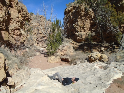
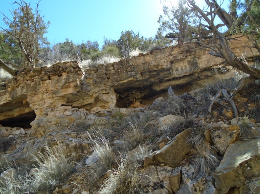
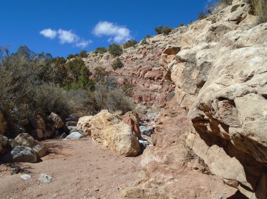
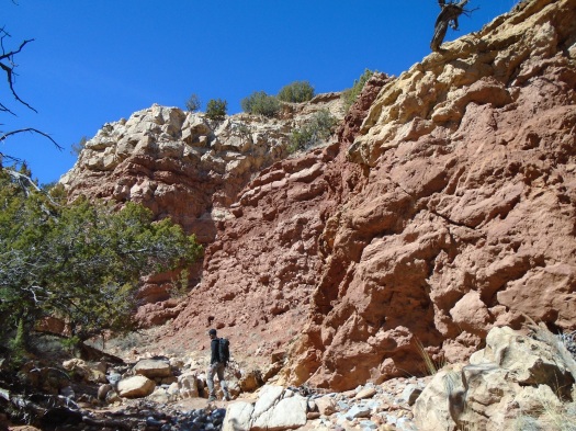
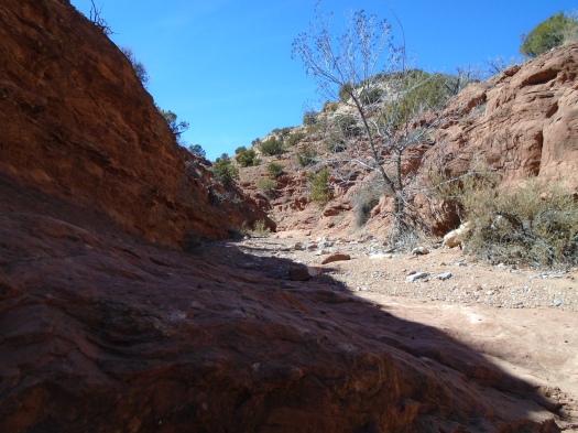
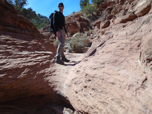
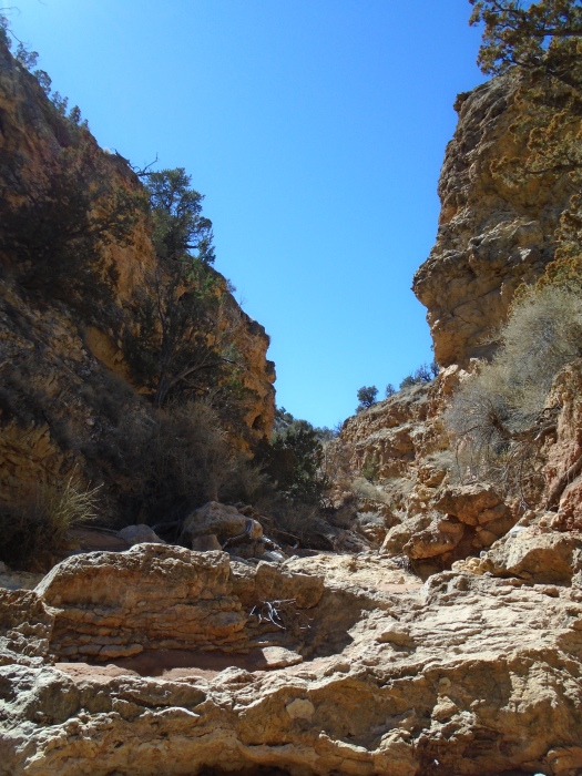
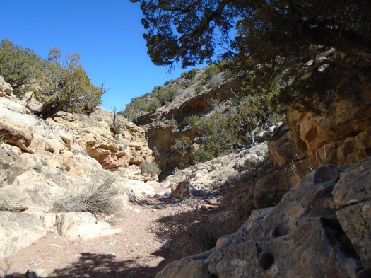
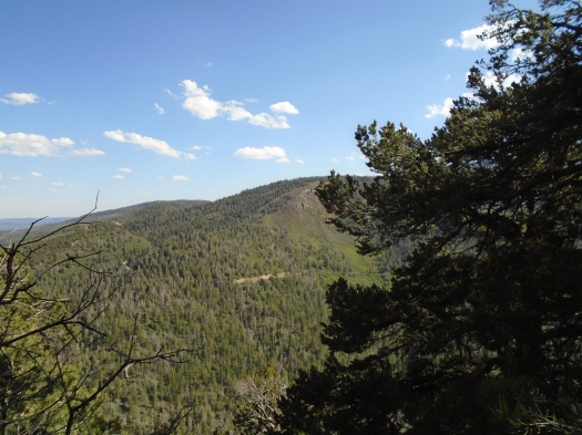
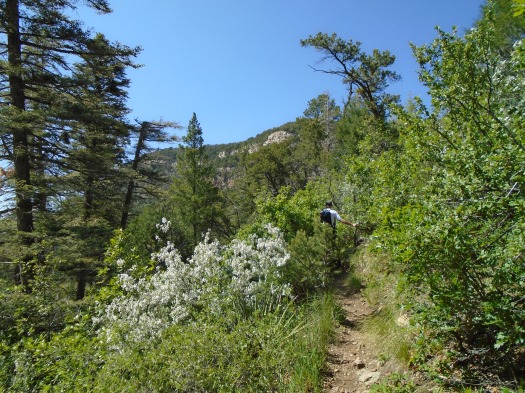
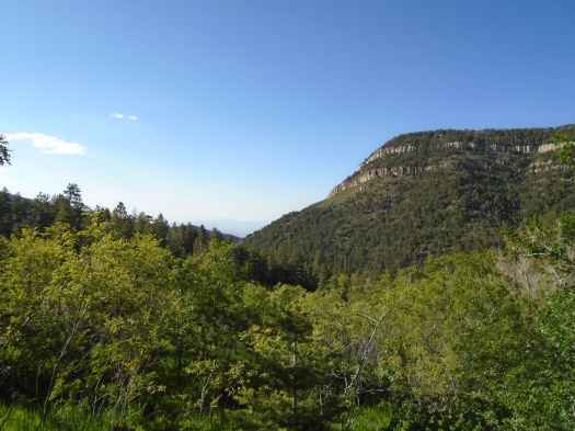
The Palomas Peak ridgeline twists and bumps along, tight against the bands of limestone we’d seen earlier.

DSC01922

DSC01918

DSC01917

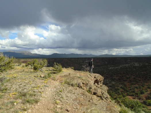
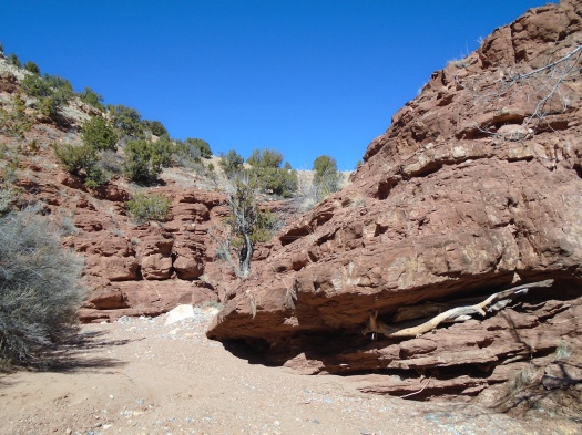
Splintered and fallen rock litters the trail. Just a couple of steps beyond us, the slope plunges into the canyon.

My husband spots climbing pitons in the rock wall above us. I don’t see any of them. I’m mostly watching my feet.

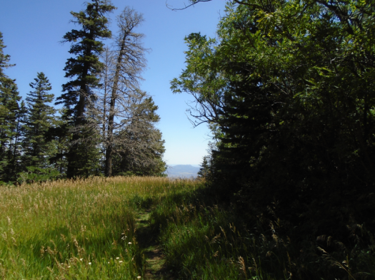
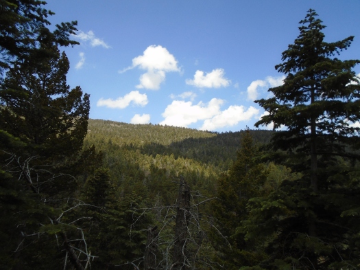
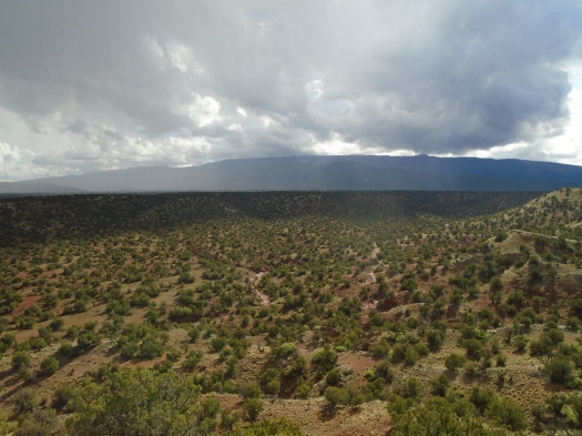
But from our spot near the ridgeline’s end, we can look back at the cliffs we just walked under, the endless green ridges.

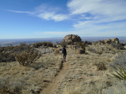
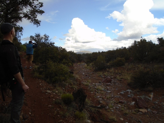
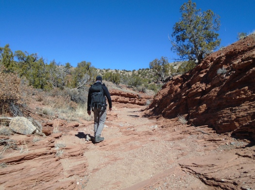
We navigate the rugged ridgeline back to the steep trail that brought us here.

At a junction, we visit Lagunita Seca meadow, which we bypassed on the way up.

DSC01926

DSC01927

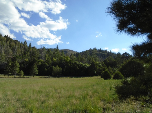
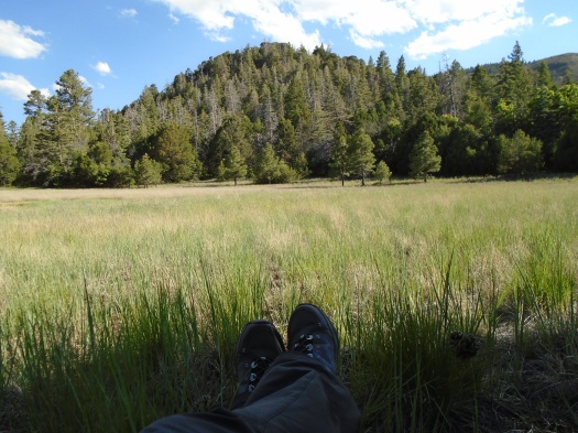
We sit under a tree, eat a snack and look out at all the shades of green.

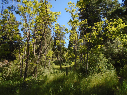
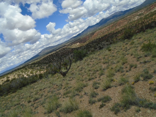
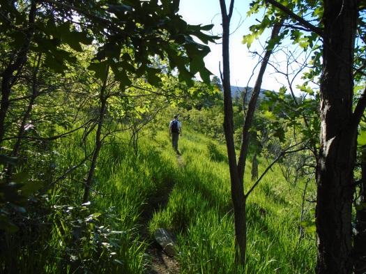
We head back to our car on a path that’s nearly swallowed by waist-high grass and wild rose and head-high Gambel oak.

DSC01915

DSC01929

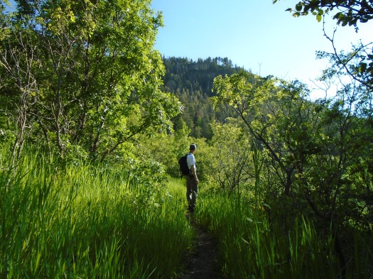
Palomas Peak’s rock bands and evergreens, now high above us again, peek through the growth.

DSC01931

DSC01930

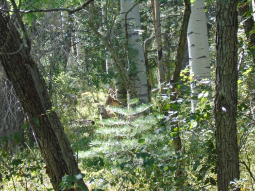
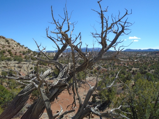
We saw many things on the Palomas Peak Trail. They did not include footprints. It’s the wildest place we’ve seen in five years of hiking the Sandias.

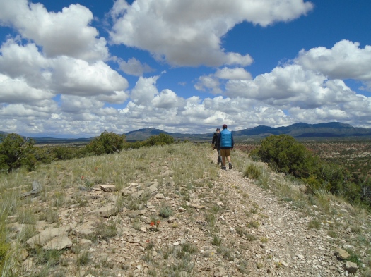
Hike length: Capulin Peak Trail 1.6 miles, Palomas Peak Trail 2.5+ miles

Difficulty: Capulin Peak Trail – easy; Palomas Peak Trail – moderate (the ridgeline is strenuous)

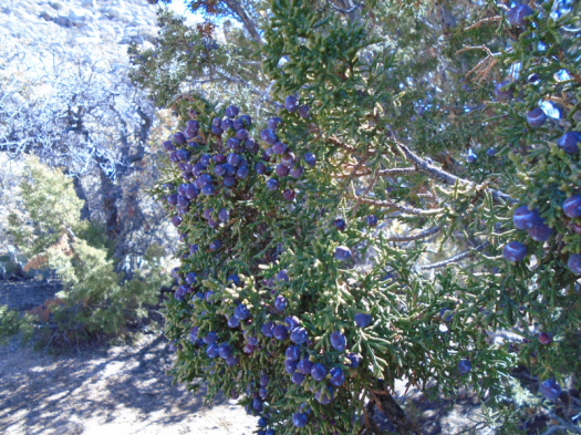
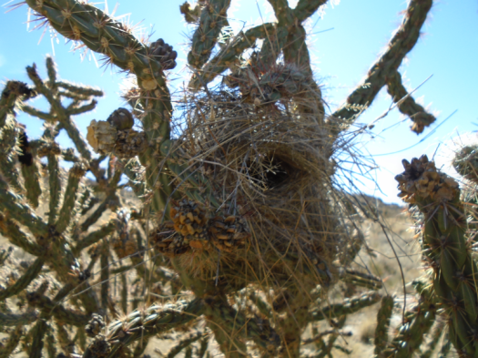
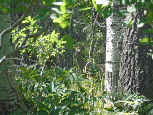
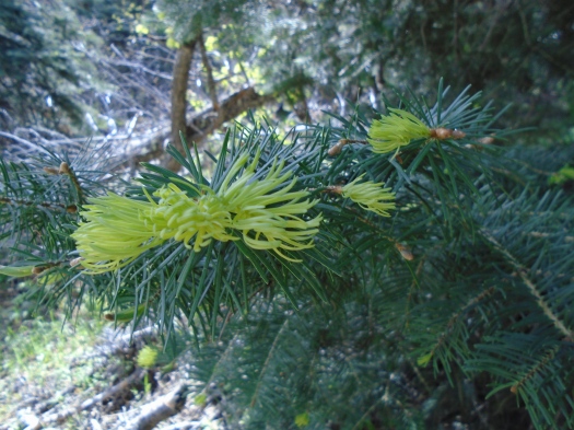
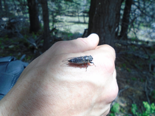
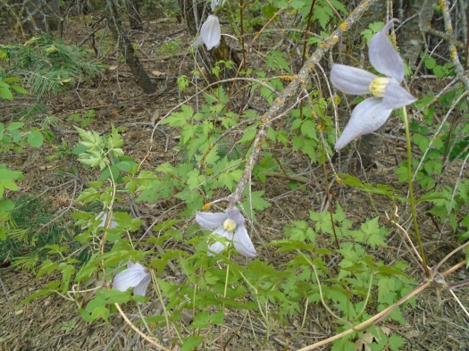
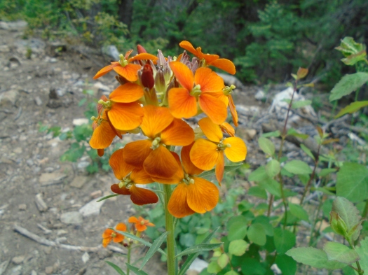
Wildlife spotted/heard: grasshoppers, cicadas, crows, vultures, hawks, jays, butterflies

Trail traffic: none on either trail

Things to know:

-Palomas Peak Trail is unmaintained; the ridgeline is rough, as noted above; and about a quarter mile from the trailhead, multiple partially fallen dead trees present a serious hazard. Hike at your own risk.

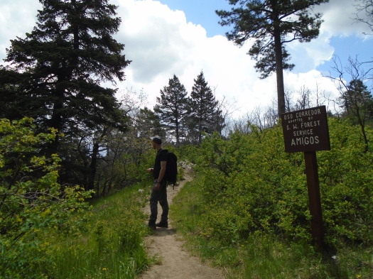
-I’ll save you a half-hour of wandering around parking lots and roads by telling you that Capulin Peak Trail begins at the snow play area, not the picnic area.

-Capulin Peak Trail would be an outstanding hike for small children, but keep them very close at the end of the trail. The dropoffs from the overlook are steep.

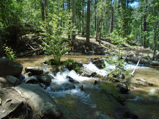
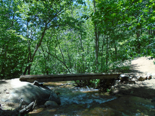
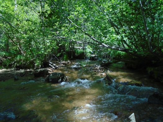
-The dirt valley road noted above is Highway 165 West to Placitas. It is stunning, especially this summer with the creek running. If you have a truck, take it. If you don’t have a truck, you can still drive this road, but take it very slowly.

-Both of these hikes are from the Sandia Mountain Hiking Guide.

It’s evergreen (and heavy machinery) season on Oso Corredor Trail

This trail smells like the inside of a jar of apple-cedarwood moonshine.

I know this because we recently received one of those from a friend. (It tastes as good as it sounds.)

We showed up at Oso Corredor Trail in the Sandias to find a serious forest-thinning operation taking place. Heavy equipment buzzed just beyond the trail, reducing swaths of trees to splinters. I stuck my nose in the deep red heart of a masticated cedar trunk.

DSC01852

We left the heavy machinery behind as we climbed into the spruce-fir zone. We heard a couple of rumbles of thunder, but the sun stayed strong.

DSC01859

DSC01863

DSC01864

My husband lightly brushed the trunk of a spruce tree and sap shot onto his hand. The sap smelled exactly like tangerines and made us both crave an IPA.

DSC01857

A cicada landed on his sappy hand and hitched a ride for almost the entire hike.

The climb up the trail from a popular picnic area had challenged me, but as the trail leveled out near the top, I started to feel like I could hike forever.

This is not a feeling I get often, and when we reached the junction with Tree Spring trail, I was tempted to keep going.

DSC01870

But we’d already hiked four miles with four to go back, and I wanted to explore an electric-green meadow we’d just passed. When we reached it, we found huge stands of wild rose. We’d seen wild rose in full bloom a week earlier on a trail at 1,500 feet lower elevation, but this had yet to bud.

DSC01879

As we descended, clouds moved over, darkened, and thunder rumbled again. The grass looked even greener and the wildflowers pulsed brighter under the dark sky.

DSC01872

DSC01877

Raindrops polka-dotted the limestone under our feet. As they came faster, my husband offered me a poncho. I declined, thinking the tree cover would keep me mostly dry for the hike’s final mile and a half.

10 minutes later, we descended the side of a steep ridge in a dark, driving rain, ice-cold hail pellets pelting us. Thunder boomed, and a flash of lightning blinked nearby. I was soaked and cold, longing for the dry clothes in my pack. I decided I would put them on in the restroom at the trailhead.

But the rain slowly lessened. By the time we reached Bill Spring Trail, an 0.75-mile path that would take us back to the parking lot, the sun returned to light a sparkling-wet canyon. My clothes were already mostly dry.

DSC01890

We passed a family who had heard the heavy machinery. My husband told them how we’d seen it rip cedars out of the ground. Their two little boys’ eyes lit up.

Both man and nature provide quite an experience on Oso Corredor Trail right now.

DSC01886

Hike length: 8+ miles

Difficulty: moderate

Trail traffic: moderate

Wildlife spotted: crow, robins, lizard, butterflies galore, cicadas galore, Abert’s squirrel, hummingbird


Golden Open Space, shapeshifter edition

One moment, sun and blue sky so intense the land’s vibrant colors must compete hard to be seen.

DSC01686

DSC01689

DSC01724

DSC01728

DSC01733

Clouds move over. The canyon’s deeper hues emerge, red and gold, pink and tan.

DSC01709

DSC01715

The Sandia Mountains loom beyond the canyon’s end, blurred by precipitation.

The flint-smell of rain. The first drops hit the red and blue rocks. Then fatter drops.

The curtain falls, and Golden Open Space transforms.

The place we knew before this is rocky juniper rim and wizened red canyons and sun, so much sun.

The steady rain and gray sky wash everything to rust and green. The forested hills all around the open space, usually unnoticed in the sun, emerge. Tiny clusters of wildflowers pulse yellow. Shrubs we’ve never seen in leaf here glow green.

DSC01743

DSC01744

Now it’s more than rain: tiny hail pellets, maybe, or graupel. It pings cool off my arms.

I’m both focused in the scene around me and in my head. Worried the mountain bike trail we’re walking on will turn to muck. Worried I’ll get too chilled with the temperature drop, which hit just after I ditched my hoodie for a light cotton T-shirt and copiously applied sunscreen.

But I see sun and some blue sky over the rim. The tiny hail abates. The rain slows to a light mist, droplets catching the light.

On the rim, bruise-gray clouds enter a dramatic duel with late-afternoon rays.

DSC01745

We scramble up a knoll to see the light and shadow on the mountains and plains. All three of us aim our cameras at once, even my husband, now wielding a smartphone after a lifetime of flip phone ownership.

DSC01748

DSC01750

DSC01755

DSC01759

We spot wildflowers as we walk back through the juniper hills: Indian paintbrush, Apache plume. Yellow and purple, red and white. We’re sure we hear thunder in the canyon behind us.

As the rain transformed the land, it transformed me. I’d clenched my teeth so much this week that my face throbbed. That pain began to abate, replaced by a throbbing in my feet that would remind me for hours to come: I’d had an experience.

Hike length: 7 miles

Difficulty: moderate

Trail traffic: none

Wildlife spotted: butterflies, crows, vulture, deer crossing the road as we drove away

DSC01700

Ocean Beach and Lands’ End: Where San Francisco meets the ocean


Waves crash over jagged cliffs. A gull perches on a rock, unfazed at my approach.

DSC01448

DSC01454

DSC01443

DSC01455

I’m at San Francisco’s Ocean Beach with two friends. Yesterday we spent 11 hours in a board meeting. We came together needing to put one foot in front of the other and repeat.

DSC01434

DSC01439

DSC01444

We leave the jagged shore at the Cliff House for the Lands’ End Coastal Trail. We enter green, gnarled cypress above, succulents and wildflowers sprouting from everything that isn’t rock. The sweet scent of abundant yellow sand verbena cuts the salt air’s bite.

DSC01430

DSC01460

DSC01461

This is part of Golden Gate National Recreation Area, and the trail’s busy. Each dog charms us more than the last: dachshunds, corgis, poodles, all wildly wiggly.

The bay peeks through the trees, then the mountains, then the Golden Gate Bridge.

DSC01466

A long slope of wooden stairs burns hamstrings, thighs. We enter a eucalyptus grove, yellow and blue light filtering through the long leaves, and inhale deeply.

DSC01468

DSC01471

In front of us, a couple pulls their baby up the steps backwards in his stroller. He’s also wildly wiggly, his smile widening every time the stroller bounces.

The Coastal Trail ends, depositing us in a neighborhood of Mediterranean-style homes. They’re all lushly landscaped, but the ultimate landscaping comes from the surf pulsing against the cliffs that form their backyards.

DSC01508

We pass the rickety lookout stands of China Beach. It’s a shabby shoreline, old firewood and detritus everywhere.

The dark sand turns nearly black where the tide washes it. Waves break tall and powerful off the beach, rip current warning signs everywhere. I put my hand in the cold foam the water leaves behind.

DSC01480

DSC01500

Most of this hike took place in a national monument. Sweaty runners on their afternoon break mingled with tourists speaking many languages. We saw jeans and sneakers, stockings and boots, couples with angular hair.

One of the women I was hiking with used to live in the Bay Area. She trained for marathons by running for miles on these beaches, then plunging her aching muscles into the cold water.

As a desert dweller who frequently sees no one on a hike, it was both strange and inviting to imagine this water-shaped landscape was your routine, its smells and sounds your everyday.

Hike length: 5 miles

Difficulty: easy

Wildlife spotted: crows, several kinds of gulls

Trail traffic: heavy

FOUND: One magical mystery slot canyon at Golden Open Space

This place showed me how many ways rock can be.

Wavy off-white shelves underfoot, a sloping funhouse floor.

DSC01376

Crumbly tan, stacked in blocks, weathered into small caves.

DSC01343

Swirled, like an ice cream cone, with dusty pink.

DSC01342

Tan and rust gnarled together, high into the sky.

DSC01373

DSC01366

Maroon-purple, sprinkled with white spots, making hollow sounds beneath my feet.

DSC01369

DSC01353

DSC01337

Branches and grass choked a bend in the canyon: a sign of the power that shaped this rock, and still does.

***

This canyon tempted us at the end of another arroyo hike here at Golden Open Space, a city-owned tangle of juniper hills and deep red drainages.

The day we spotted the magical mystery slot canyon, I was too worn out to explore it, but I knew we had to come back. We tried to find it another time, but failed.

This time I remembered the arroyo that led us there. The trail crossed it not long after dropping down from the juniper hills. The arroyo’s red dirt and pale blue stone guided us. In no time, it seemed, we were there.

The magical mystery canyon continued for more than half a mile, a feast for the eyes and the feet at every turn.

DSC01350

It ended at a junction with the big arroyo we’d wandered aimlessly on our last visit. From this end, the canyon had appeared so small, we never guessed it was the one. But today we identified landmarks at that junction that will help us find it from either direction.

Coming back through the canyon, we lay on a cool, sloping, sunwashed rock field. When the breeze blew down the canyon, it brought a chill. When the breeze stilled, it was completely quiet, warm as April. But the best feeling was when the sun warmed the canyon floor and the breeze moved just above us.

DSC01340

The spot where you leave the trail for the arroyo network is so subtle that we missed it on the way back, going half a mile past it before we realized our mistake.

Or maybe the rock garden was just too hard to leave.

Hike length: 7.3 miles

Difficulty: moderate

Trail traffic: none

Wildlife spotted: Western bluebird, bluejay, crows, butterflies

DSC01336