I didn’t want to take this hike, but I’m grateful for it

I knew the day was coming when I would need to go to Chattanooga for my grandmother’s funeral.
Last week, the news came, and the waiting for the arrangements to be determined, and the frantic flurry of preparations when they were.
The night before I left, with the trip I’d been dreading almost here, the flight and hotel and rental car booked, I did a quick Web search.
My sister and I were staying a half-day longer than everyone else, flying out later to save a little money. I quickly learned that during that half-day, 150 miles of hiking trails awaited us within 15 minutes of downtown Chattanooga. I just had to pick one.
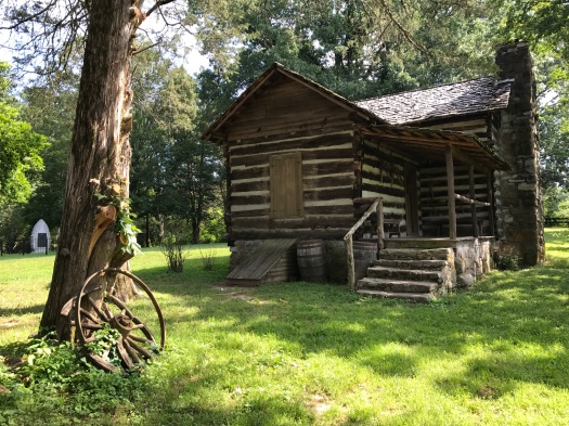
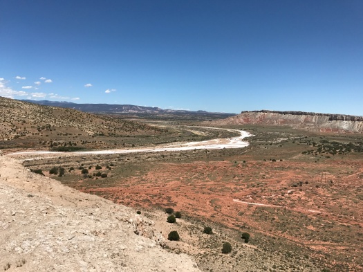
After the service, and the reception, and the meals with family, and the chess squares and pound cake, and the goodbyes, my sister and I got up early and drove through rolling hills and rural neighborhoods to Audubon Acres nature sanctuary.
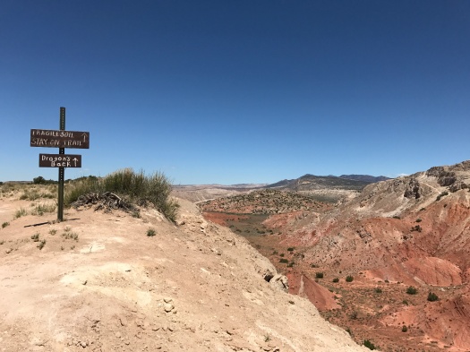
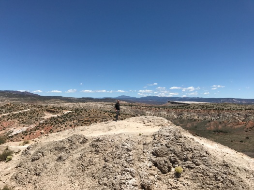
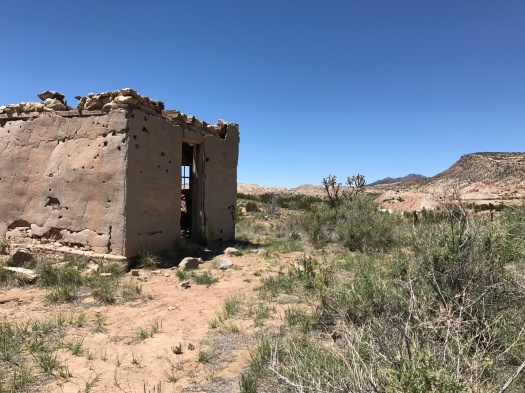
Our goal: Little Owl Village, the site of a Native village hundreds of years ago. I’d chosen a two-mile roundtrip hike because it was hot, it was my sister’s first hike and we had a plane to catch. We arrived just after Audubon Acres opened for the day and had the place to ourselves for almost the entire time we were there.
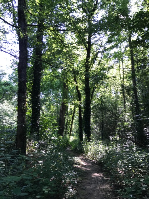
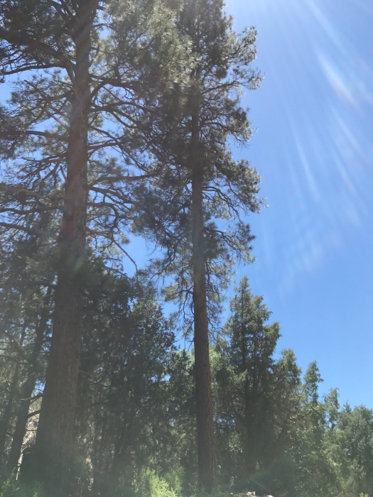
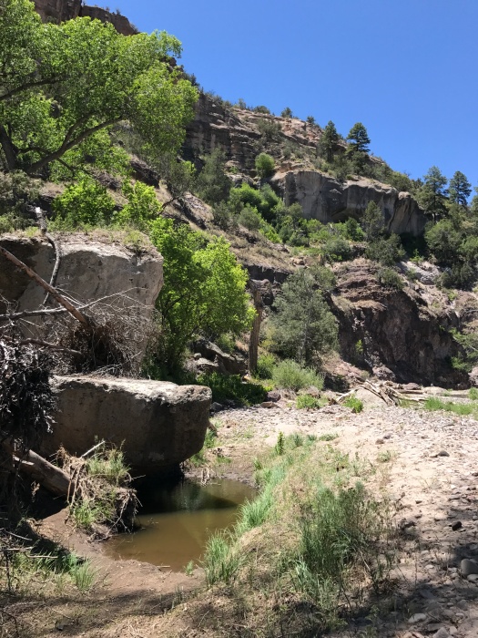
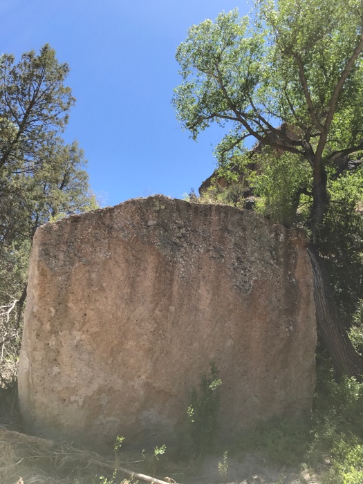
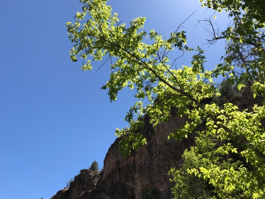
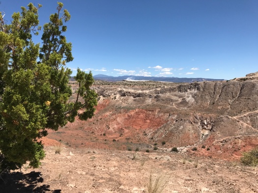
The path began as packed dirt carpeted with pine needles – the softest trail I’d ever felt under my feet. Sweetgums and water oaks towered above us, vines twining around them, creating a canopy of almost complete shade.
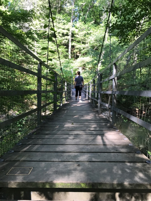
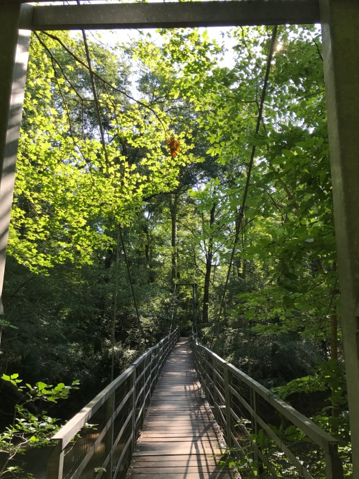
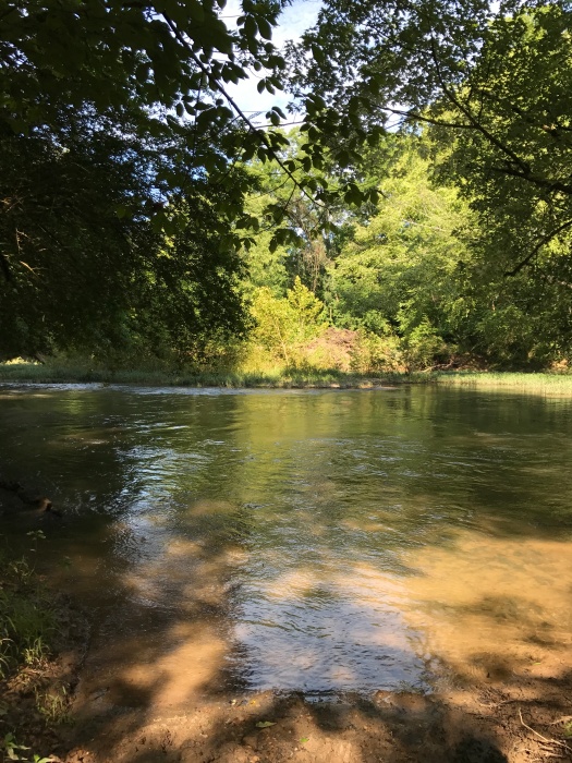
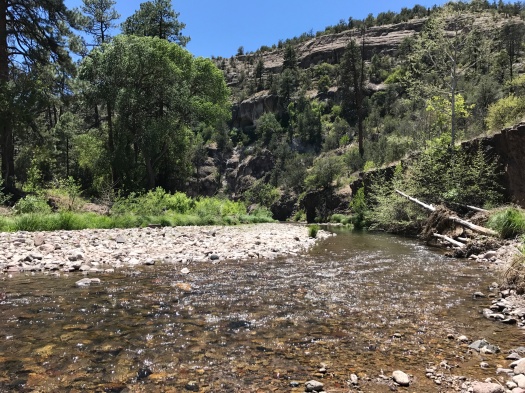
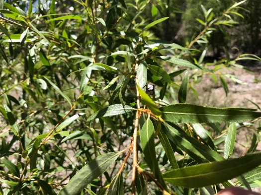
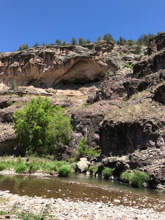
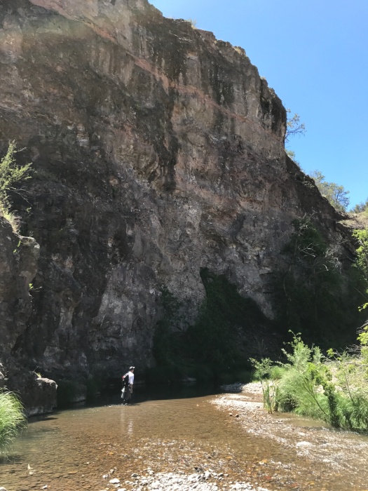
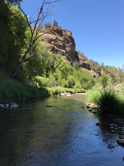
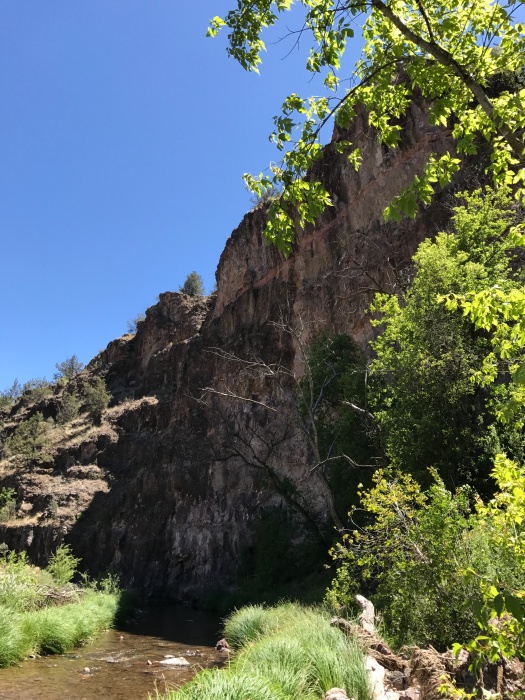
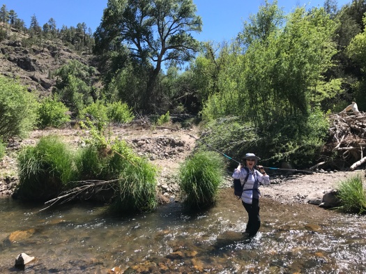
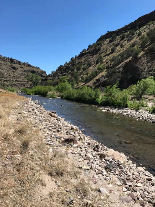
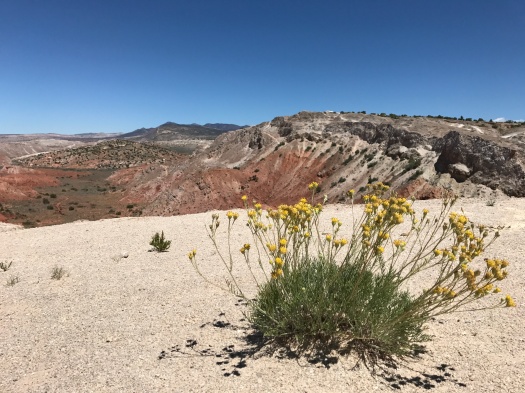
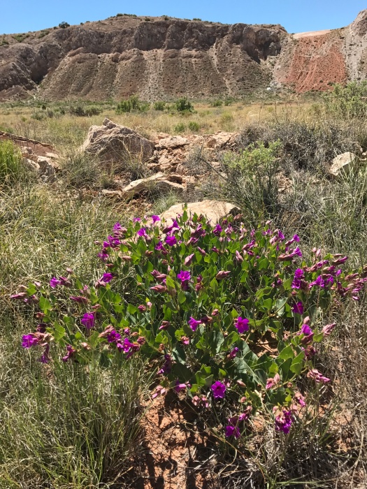
In half a mile we came to a swinging bridge over fast-flowing South Chickamauga Creek. The thought of a swinging bridge had made me a little nervous, but it felt buoyant yet sturdy under our feet. The path tracked the creek, winding through trumpet vines and yellow and purple wildflowers I didn’t recognize. Birdcalls and the ripples of fish moving through the water occasionally broke the silence. And the constant buzzing of flies – we spent the whole hike waving our hands in front of our faces to keep them off.
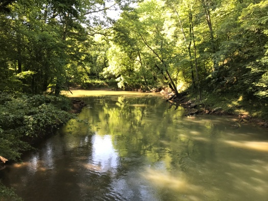
We detoured to check out the Ford of Youth, the spot where those with swinging bridge phobias can ford the creek. It was twice as deep and three times as wide as any spot I’d forded on my trip to the Middle Fork of the Gila River.
As we stared across the water, imagining how challenging it would be to ford, an enormous blue bird swooped down right in front of us, wings outstretched, gliding over the water. I’m going with a great blue heron; they hang out at Audubon Acres year-round.
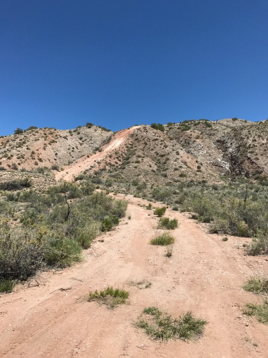
When we emerged from the creek path, the Little Owl Village loop in front of us glowed in full sun and the grass was ankle-high. It was 10 am, it was already sweltering and our relatives’ efforts to put the fear of God into us regarding ticks in the Chattanooga area had worked. The return trip along the shady creek beckoned.
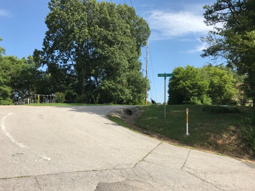
As we drove away from Audubon Acres, a huge turkey ran across the road in front of our rental car. While he ran back and forth and we gawked, another turkey appeared.
My grandmother’s death, and this trip to Chattanooga, were certain to come, though I didn’t know when.
That being the case, I’m glad I got to see a great blue heron, and a swinging bridge, and those turkeys.
Length: 2 miles roundtrip
Difficulty: easy
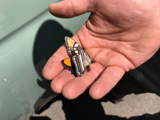
Wildlife spotted: great blue heron, butterflies, moths, dragonflies, squirrels, wild turkeys
Trail traffic: almost none
IMG_7877
My sister tackles the swinging bridge.
IMG_7883
Swinging bridge
IMG_7879
South Chickamauga Creek
IMG_7888
The trail above the creek
IMG_7892
Would you ford here?
IMG_7894
Cabin at Audubon Acres
IMG_7896
Why did the turkey cross the road? To avoid being on a hiking blog.

If the valley is glowing, you’re probably on a bonus night hike

Spoiler alert: You won’t find many sunrise or sunset hikes on this blog.
I’m not a camper (too many visions of stuff crawling on me while I sleep), and many of the places we hike are a little ways away, so I’m rarely on the trail at dawn or dusk. The tradeoff for that: missing some of the day’s best light and best opportunities to see wildlife.
So when we saw that the lodge where we were staying outside Silver City had hiking trails on the property (for lodge guests only), we knew it was a unique chance for us to see the day’s light begin to fade from on the trail.
From the start, the experience was different from our usual hiking pattern. We started at 7:30 PM, not 7:30 AM. Silver City’s temperatures went from blazing to cool around dinnertime, so I wore an extra layer. I’d had a beer with dinner, so I was slightly buzzed as we climbed the ridge – a first, since I don’t drink before setting out on five-or-six-mile desert jaunts.
The lodge was tucked into a valley on the edge of the Gila National Forest. We’d seen tons of deer along the road to the lodge and wondered if we might get a closer look on an evening hike. But we were in pinon-juniper hills, and they stayed in grassy areas close to the road, where they could munch on leaves.
The gravel trails were easier to follow and better maintained than many we’ve hiked. The cool evening air, bearing slightly more moisture than the bone-dry afternoons, released the evergreens’ scent. Rabbits scampered.
After a few minutes at the rocky overlook atop the ridge, we headed back down to catch the last of the evening’s light.  Clouds pulsed with the sunset’s muted color. The Chino Mine, one of the world’s largest open-pit copper mines, glowed pink across the valley. A crescent moon winked into view high above a distant peak.
Hiking is what I do on Saturdays. Usually, because of the length of the hike, challenging terrain, the area’s remoteness, or a combination of the three, the experience takes up much of the day. Our adventure on the Middle Fork of the Gila River was that kind of hike.
The next day’s hike was right outside our lodge door, took less than an hour, capped off a day of sightseeing in town and gave us a totally different look at the beautiful place where we spent the long weekend.
Now that I’ve experienced a bonus night hike, it won’t be my last.
Hike length: 1.5 miles
Difficulty: moderate
Trail traffic: just us – the lodge’s trails are for guests only
Wildlife spotted: jackrabbits, cottontail
IMG_7829IMG_7831IMG_7832

IMG_7835
The Chino Mine, one of the world’s biggest open-pit copper mines, is the thing glowing pinkest across the valley.
IMG_7841
Can you spot my husband’s head? It looks slightly disembodied, but it’s there.
IMG_7843
The lodge is in the center of this image. I was amazed how tiny it looked from less than a mile away.
IMG_7847

Looking for flow? Try the Middle Fork of the Gila River

“Hey guys, we just saw a rattlesnake at the wilderness boundary, about a mile north. Be careful.”
So began our visit to the Middle Fork of the Gila River.
I worry a lot. Hikes are no exception. In fact, they are the ultimate fodder for worry. (RATTLESNAKES!)
I was worried about plenty before we even got on the trail.
The heat. Despite our best efforts to leave early, we’d arrived at the Middle Fork at high noon on Saturday of Memorial Day weekend.
The drive back. The breathtaking hairpin drive in made me so dizzy in the passenger seat the only way I could keep my bearings was to drive. So I knew when we finally washed up at the trailhead again, I’d have another two-hour white-knuckled experience behind the wheel ahead of me.
But I was here, at one of my bucket list hikes, nearly a full day’s drive from Albuquerque. It wasn’t something I could try again next weekend. We were going for it.
The air temperature dropped by a good seven degrees as soon as we got down to the river, and another five once our feet were in the water. Which they were for probably 40 percent of this hike.
The Gila flows for hundreds of miles, much of it free-flowing. We were hiking into a spectacular canyon of cliffs, caves, spires, towering evergreens and swaying foliage.
I hike in the desert, so I’d forded a tiny trickle a grand total of once. Wading in knee-deep, climbing over river rocks and feeling stones slip beneath my feet as I crossed was a completely new experience. That meant there were moments when I wasn’t preoccupied with anything, I was only a person trying to keep my footing on the slippery stones as the water flowed over my ankles.
A breeze tossed the leaves and cattails along the bank, and the sun poured through them. Butterflies skittered everywhere. Frogs croaked. People sunbathed in natural hot spring pools along the banks of the river. (We passed those by – the only time I’ve ever passed up a hot spring, but it was plenty hot enough out there.)
We passed a mileage sign that told us we’d come 1.5 miles from the trailhead. I was floored. I would have guessed we’d gone at least a mile more at that point. The exertion of climbing over rock and walking through flowing water made distance hard to gauge. I’d dreamed of getting seven miles roundtrip on this trail, but I’d also made a deal with myself that I’d be satisfied with however far we got.
Our final stop was a shady, still bend in the river under a gargantuan cliff. It took a while to figure out how to get to it and longer to reach it – it was the deepest spot we forded, a little past my knees. It felt far away from everything and everyone – despite the holiday weekend, we hadn’t seen a soul in nearly a mile. But when we reluctantly got up to leave, we were back on the trail again in under five minutes.
I’ll remember most the colors of this hike – the black and beige of the canyon walls, the deep brown of the river always below, the brilliant green of the sun pouring through leaves. And I’ll remember the feeling of the water flowing around my feet. It took literally getting into a river to find a few moments of the elusive state known as flow – where you are fully absorbed in the task at hand and there’s no room for the constant internal chatter that takes up most of the space in our heads.
On the way out, we took a different, less twisty forest road through a valley. As we neared the highway back to Silver City, I saw a single, tiny wisp of cloud. Even in New Mexico, with over 300 days of sunshine a year and killer blue skies, I had never before spent an entire day in the wilderness without seeing a cloud.
Oh yeah: we never saw the rattlesnake.
Hike length: The trail’s 40 miles; we went about 4.5 roundtrip
Difficulty: Moderate
Trail traffic: Plenty of people, but tons of room for all of them
Wildlife spotted: turkey vultures, ravens, butterflies, frogs (seen but not heard), lizards, cicadas
TIPS! 1) Bring dry shoes and socks for the drive back. I brought hiking shoes and water shoes, but both were soaked by the time for the two-hour return drive. 2) If you are even a little prone to motion sickness, even if it’s not usually a problem, I recommend you be the one behind the wheel if you are taking spectacular NM 15 all the way from Silver City to the Gila River. Or, take NM 35, also lovely, to meet 15 for a less dizzying drive.

IMG_7779

IMG_7766
That is one weird cave.
IMG_7768
Cicada enjoying the foliage. We heard them the whole time.

IMG_7771

IMG_7780
Another cave. The Middle Fork is next to the Gila Cliff Dwellings National Monument. Native people of the region once built upon caves like this to make their dwellings.
IMG_7783
Husband offers scale
IMG_7776
My husband is way more into bouldering than I am, but even I wanted to climb up on that ledge. It looks simple, but even he couldn’t find a safe way up.
IMG_7777
The ultimate boulder
IMG_7786
Our turnaround point

IMG_7788IMG_7789IMG_7798

IMG_7801
Goodbye, Middle Fork.
IMG_7747
Beautiful dead butterfly my husband found in the parking lot.

What’s better than White Mesa? White Mesa in spring, of course

“What the F is that?” I exclaimed.
A creature the size of a hummingbird was flying near our heads, buzzing, orange wings whirring.
“Tarantula hawk,” said my husband.
This giant wasp is the state insect of New Mexico, so named because it is a predator of tarantulas.
 I’d never seen one. Before the hike was over, we’d see two more.
When we saw that first one, we were standing above what looked like the frozen River Styx. Below us, water flowed over reddish-brown ground, and the river appeared to be surrounded by ice. It was actually surrounded by massive salt blooms.
By that time, we’d already traversed a narrow three-mile ridge called the Dragon’s Back, climbed down to view the ruins of an old wood and stone dwelling, and learned we were sharing the space with dozens of college geology students from at least three states.
This is White Mesa.
What brought the geology students out there was the same thing that makes it such an incredible place to hike (or bike – it’s actually a bike trail site and Dragon’s Back is primarily used by mountain bikers.) White Mesa is an anticline, a fold of stratified rock shaped like a ridge in which the stratifications slope down from the crest.
The cliffs beneath the Dragon’s Back slope down to a valley filled with deep red soil, which in places has formed into mounds. On the other side of the valley is a steep ridge much shorter than Dragon’s Back.
I’d only seen White Mesa in winter. It’s a no-shade hike and a temperamental place – the leader of one of the geology groups told us it had snowed the day before, and the day before that, the wind was howling at 50 miles an hour.
But we woke up to one of those brilliant, relatively cool days we’ve had all spring following cold snaps, so White Mesa it was.
The red soil and blue sky I remembered from White Mesa in winter were set off by the deep, rich green of the valley. Yellow bell-shaped wildflowers sprouted from the Dragon’s Back, and plants with vibrant purple flowers grew on the valley floor.
The first time we came out here was the longest hike I’d done at that point, 5.1 miles, and by far the most demanding. The route we took then, from our trusty “60 Hikes within 60 Miles of Albuquerque” guidebook, began with a 400-foot descent down the ridge opposite Dragon’s Back. Patches of the steep trail were icy and muddy. I was terrified. By the time we made it to the valley floor, my legs were trembling, and we had another three miles to hike, part of it a climb. I wasn’t sure I could do it, but I knew I couldn’t climb back up that slippery 400-foot trail, so I went forward.
This experience was similar. After the Dragon’s Back came an insanely steep climb down to the ruins. A spell of nice flat doubletrack led to a climb up a dome in the middle of the valley. And after climbing down that, to get out of the valley and back to our car, I had to climb…the 400-foot trail that I thought might kill me on my first visit here. While the temperature was balmy and there was a gorgeous cool breeze, doing all that in full sun was taxing.
This was my toughest hike in six months, and one of my best hikes ever. The route, and especially the season, made it a completely different experience than our previous hikes here.
That’s when you know you’ve found a great hike – when you do it again and again and it’s truly different every time.
Hike length: About 7.5 miles
Difficulty: On the high side of moderate
Trail traffic: Lots of people, but there’s so much space it didn’t feel crowded.
Wildlife spotted: butterflies, turkey vulture, tarantula hawks, chipmunk, lizard, crow
IMG_7622
Welcome to White Mesa, from springtime.
IMG_7626
The Dragon’s Back beckons.
IMG_7630
The wind whips up a cloud of gypsum.

IMG_7633

IMG_7636
Looking back from the middle of the Dragon’s Back; Sandia Mountains in background
IMG_7659
Cabezon Peak in background. Cabezon looks so close and huge at White Mesa, and so tiny in my camera.
IMG_7661
I just hung out here for a while and contemplated how I was going to scramble up this.
IMG_7667
How far we’ve come! View from the end of Dragon’s Back
IMG_7668
The salty Rio Salado
IMG_7671
Power lines next to the end of Dragon’s Back
IMG_7673
We thought this doubletrack would be an easy way down from Dragon’s Back. Nope. It’s so steep we had to walk down sideways.
IMG_7674
Ruins of mystery dwelling

IMG_7676IMG_7681

IMG_7683
The frozen River Styx? Nope, just the salty Rio Salado.

IMG_7686IMG_7688

The biggest reward for the smallest amount of hiking

That’s sacrilege, right? I mean, the journey is the destination.
That’s true. And it’s also true that sometimes you find yourself in the City Different on a beautiful day, with a small window of time before you need to be somewhere. And that small window is also your best window to hike all weekend.
When that happened to me Saturday, I was armed.
A while back, I’d seen a gorgeous photo of a hike at Sun Mountain by Twitter user @virtualdavis. When I looked up the hike, I was even more intrigued. That view could be had for just 1.8 miles roundtrip.
The first thing I noticed when we hit the trailhead at 1:20 p.m.: the bluest sky I had ever seen, which, in New Mexico, is saying something.
The second thing I noticed: the panoramic view over Santa Fe started almost immediately. It was unbroken throughout the hike.
The third thing I noticed: You know how you get a killer view in less than a mile, right? A lot of climbing. 700 feet in 0.9 miles.
We didn’t quite make the summit. We were running out of time, it was wicked hot and I’m a slow hiker (several folks, including a fellow a good 30 years older than me, made the summit and passed us on the return while I was still tackling the climb.)
Taking a breather on a pink granite ledge below the summit, we looked out over the Jemez Mountains, Tetilla Peak and the forested hills surrounding Santa Fe.
It was its own reward. I knew there was no need to burn myself out to make the summit. Still, I was sad all the way down the mountain, even as I soaked up the last of the incredible vistas.

I have a hard time not thinking of any hike that’s less than or different from what I envisioned myself doing as a failure. But in nature, there are plenty of reasons for a trip to be less than or different from what you envisioned – and sometimes no alternatives to it.
So I practice.
So far, even my most disappointing hikes – way more disappointing than a summit near-miss – beat the heck out of not being on the trail.
Hike length: 1.8 miles (or, if you’re in journey-as-destination mode, make it part of a 5-mile loop)
Difficulty: Moderate
Elevation gain: 700 feet
Trail traffic: You won’t be alone, but it’s not mobbed
Wildlife spotted: Rabbit, ravens, blue jay, butterflies, lizard

IMG_7592

IMG_7593
From the trailhead, the goal is clear.
IMG_7595
Bluest sky ever.

IMG_7596

IMG_7598
Tetilla Peak at left, Jemez Mountains at right
IMG_7604
Trail rising to summit on left
IMG_7605
Pink granite everywhere

How green was my desert

If you don’t live in the desert, “green” will probably not be your overwhelming impression of these pictures of Albuquerque’s Piedras Marcadas Canyon, one of the petroglyph sites on the city’s Westside.
But that’s how they looked to me yesterday.
I usually hike at the petroglyphs in the dead of winter, when the sites’ total lack of shade is alluring rather than terrifying, and the landscape’s colors are muted. I’d never the petroglyphs in May, let alone seen them fresh off several recent spring rain and snow storms.
We headed out there because a friend who was visiting from Santa Fe wanted to hike, but had been having some foot issues. We needed a hike that was not too long or strenuous, not too steep and not too far away.
The high in Albuquerque was 89 yesterday, but when we decided to hike the petroglyphs, the morning was still cool, with a nice breeze and some cloud cover.
Had we not made that decision, we would have missed seeing butterflies fluttering around the basalt boulders along with the jackrabbits and lizards that always hop and skitter there. We finished the hike at midday, just as the heat of the direct sun began to become its own entity.
I loved seeing the desert green because it’s beautiful, and because it means the ecosystem’s getting a level of replenishment it hadn’t had for a while.
But selfishly, I really loved seeing the desert green because knowing our land has soaked up that much extra water means we have a pretty good shot at a summer with lots of hiking, instead of a summer with lots of fires and closed forests.
Hike length: 2.5 miles
Difficulty: Easy

Trail traffic: Plenty, from joggers and dog-walkers to geology classes

Wildlife spotted: Butterflies, jackrabbit, lizards, roadrunner

If hell is other people, heaven is Herrera Mesa

4/30/2017
I would not normally head out to Herrera Mesa in May. There’s virtually no shade unless you hit it really late in the day.
Today, that was perfect.
We were looking for someplace we could be certain had already dried out from the rain and snow soaking of the past two days. And we knew the temperature wouldn’t get out of the 60s, so we wouldn’t melt.
The Herrera Mesa hike, as found in Stephen Ausherman’s “60 Hikes Within 60 Miles of Albuquerque,” is on BLM land overlooking an old ranch on the edge of the To’hajiilee reservation. The mesa is a geological wonderland (removing minerals is prohibited). The sloping terrain that rolls away from the mesa is punctuated with angular rock formations and even a little lake.
But the best thing about Herrera Mesa is the solitude. You can see forever, and there’s not much habitation to interrupt the view. The only sounds are the wind, birds and insects (and occasional gunshots, judging from the handgun, shotgun and rifle shells we spotted while hiking in on a dirt road). There were footprints (we found none the first time we hiked here), but they weren’t from today, or yesterday.
Speaking of the wind: It was fierce and cold. We felt it off and on throughout our hike, anytime we weren’t sheltered by a section of the mesa. But the equation of the brilliant sun and the cool wind added up perfectly.
The mesa looked totally different than it had on our first hike here, in January 2016. This week’s precipitation had greened the hills that roll down from the mesa, and Indian paintbrush and other wildflowers blasted their way out of the rock and scrub.
On our way back, my husband spotted a pair of shed elk (or maybe deer) antlers on a slope below the trail. He scrambled down the slope like a gazelle for a closer look.
It was hard to imagine a giant elk navigating the narrow trail at the edge of the mesa. But between the scat, the antlers and the elk skull we saw on the way up, I’d bet elk outnumber humans on Herrera Mesa any day.
Hike length: 4-mile roundtrip
Difficulty: Moderate
Odds of running into another human: very low
Wildlife spotted: Crows, ravens, butterflies, lizards
Tip: You can drive up the road that leads to the gate where the hike starts. I don’t recommend it. On a previous visit here, we spent an hour stuck in what appeared to be the world’s tiniest ditch on that road. It’s not. If you park on the side of that road right where it turns off from the road that brings you to the mesa, it’s an easy half-mile hike to the gate (and the ditch that was impassible for our truck is small enough to step over on foot.)

When you can’t be with the hike you love, honey, love the hike you’re with

4/24/17
I didn’t get the hike I wanted this weekend, but I got the hike I needed.
It was Earth Day and I was going to spend it on a hike 140 miles away that’s been on my bucket list for a while. It’s a long trail and I was hellbent on doing 10 miles of it.
Then my husband and I got a stomach bug the day we were supposed to leave. We canceled our trip.
When we felt better, a couple of days later, I looked for a hike that seemed doable, just to get out of the house. We found a two-mile jaunt outside of town, listed as a side trip in our hiking guidebook.
My journey into hiking has been one of constantly pushing myself to go longer distances, to do harder terrain. If I’m not setting new records, or at least keeping up with the ones I’ve set, it doesn’t count. By that measure, this hike was a throwaway.
Of course, if you love being on the trail, there is no such thing.
Carlito Springs is a Bernalillo County Open Space tucked into Tijeras Canyon. It’s home to trickling springs, pools, orchards and crumbling relics of its reported former life as a sanitorium, camp and more.
The sun beat down on the gentle switchbacks leading to the springs, but at the top, a cool breeze swept through the place. It wasn’t just shady; the pools and springs created a cool that seemed to come up from the ground. Carlito Springs is historic and uniquely shaped by water and unlike anywhere else I’ve hiked. It’s the most unusual picnic spot in the Albuquerque area, and it’s so close and so easy to navigate you could do it anytime – an afternoon, an evening.
It also boasts the best view of Tijeras Canyon I’ve seen on dozens of hikes in the area. And even on a hazy day, it has a great view of the Sierra Ladrones range southwest of Albuquerque.
I loved every minute of hiking Carlito Springs. Having done it, even though it didn’t register on my distance or elevation gain log, I couldn’t write it off.
My bucket list hike has been on this earth way longer than I have, and it’ll be there when I get there. Whether I do two miles of it or 10, I’ll be lucky for the experience.
As I was this weekend, at Carlito Springs.
Trail length: 2-mile loop (3 with detours)
Difficulty: Easy (moderate with detours)
Elevation gain: Moderate, significant if you detour up to the top of the property (Carlito Springs ranges from 6,300 to 7,100 feet in elevation)
Trail traffic: Moderate (it’s not overrun with people, but don’t expect to have the place to yourself)

Wildlife spotted: Crows; hummingbirds; more kinds of butterflies than I’ve ever seen anywhere, including my former butterfly record-holder the Manzano Mountains