20 miles outside ABQ, there’s a land you could roam all day

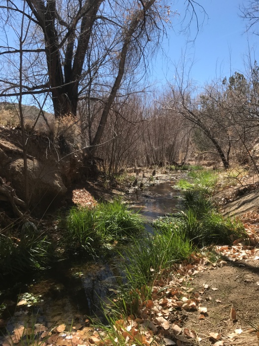
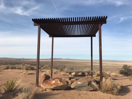
Before today, every hike I’d done in Placitas was a destination: I went out there to hike Las Huertas Creek, or Piedra Lisa Trail, or the Strip Mine Trail, or Tunnel Spring.

Today we learned Placitas could just be a journey.

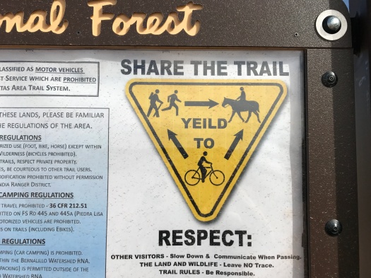
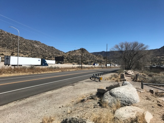
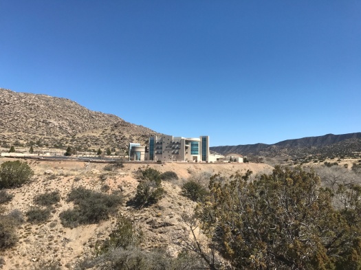
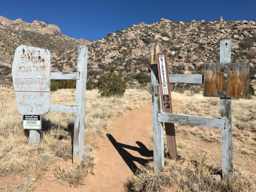
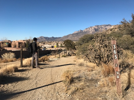
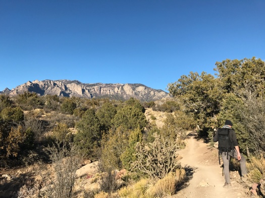
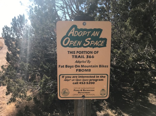
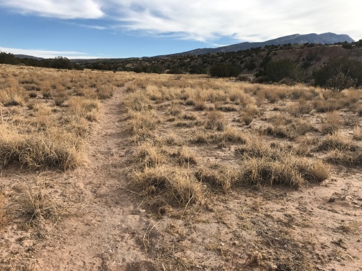
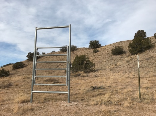
We started at the main Placitas-area trailhead two and a half miles east of I-25. We worked our way south on a couple of mountain bike trails. (How you know you’re on a mountain bike trail: 1) you frequently have to jump out of the way of mountain bikers; 2) there are tons of banked corkscrew turns.)

IMG_0045
First potsherd I’ve ever seen on a hike.
IMG_0083
Can anyone confirm or deny that this is a cicada larva?

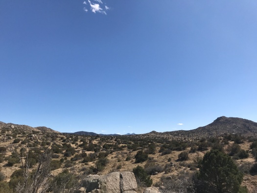
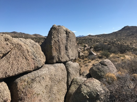
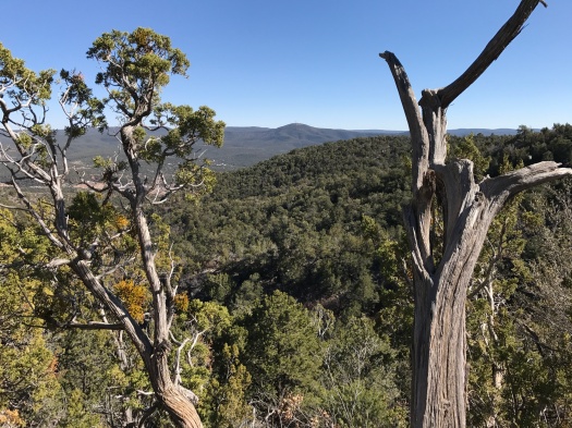
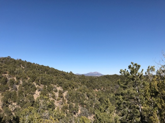
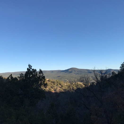
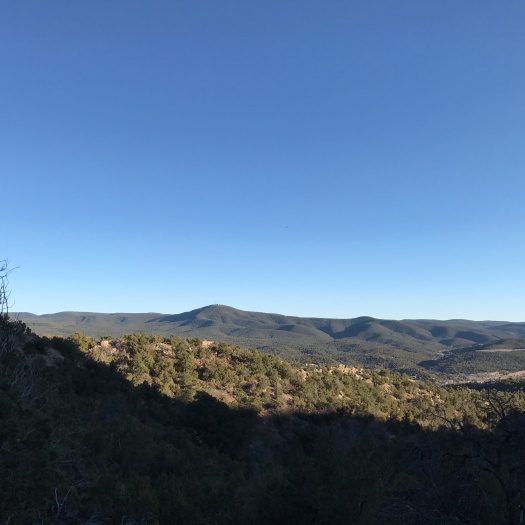
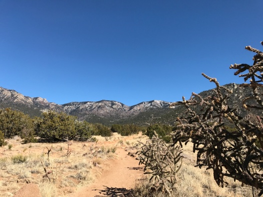
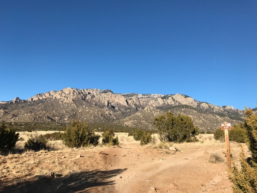
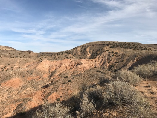
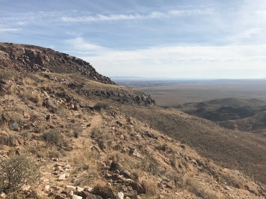
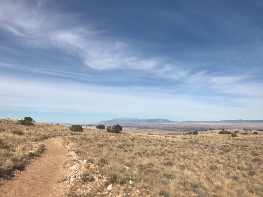
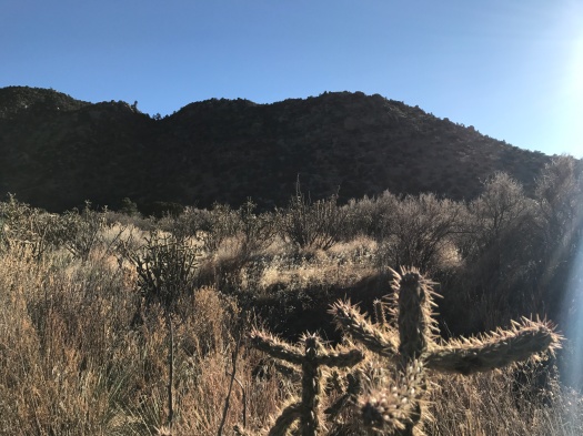
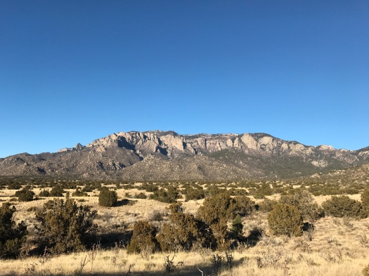
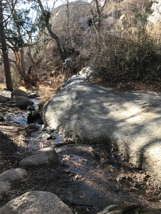
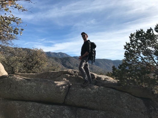
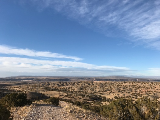
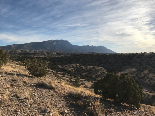
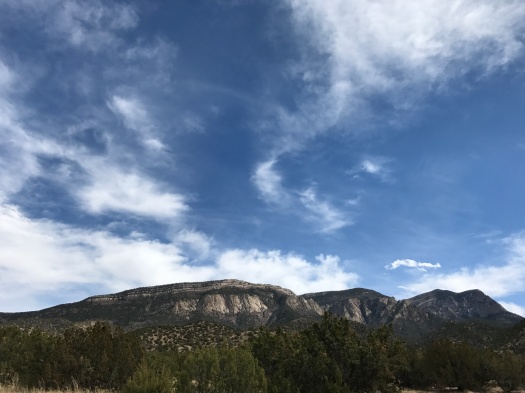
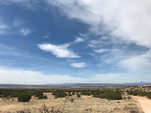
A blanket of clouds covered much of the Rio Grande Valley, muting the colors of the mesas and mountains. But as we gradually climbed up and east, the sky above the Sandia Mountains began to clear to a brilliant blue.

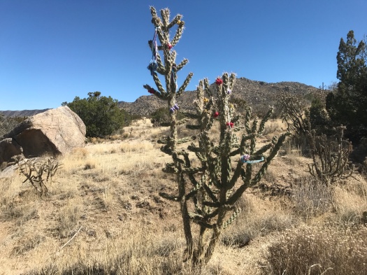
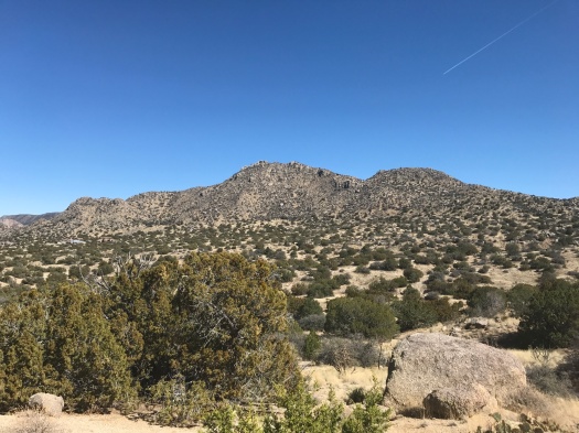
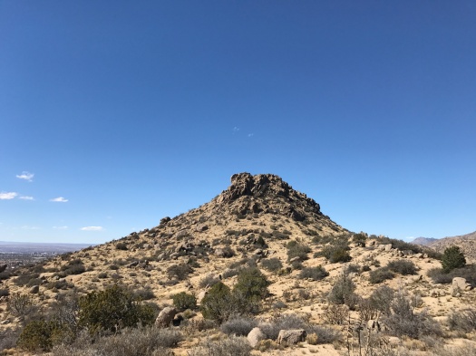
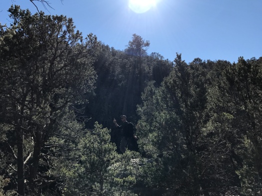
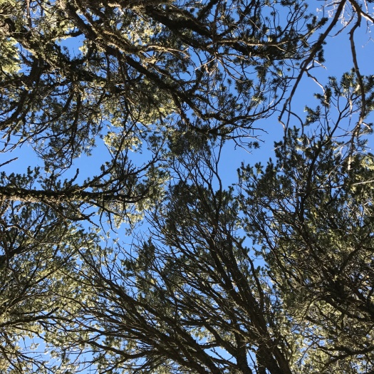
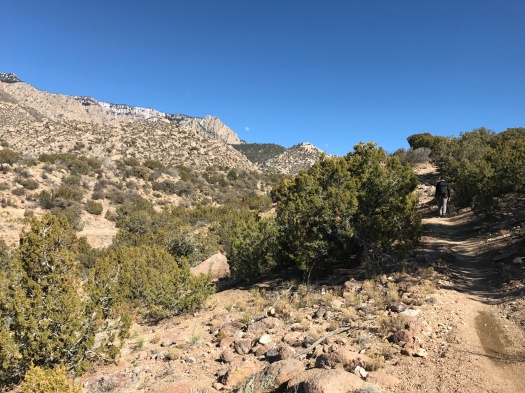
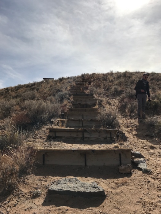
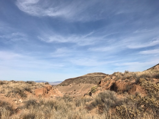
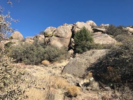
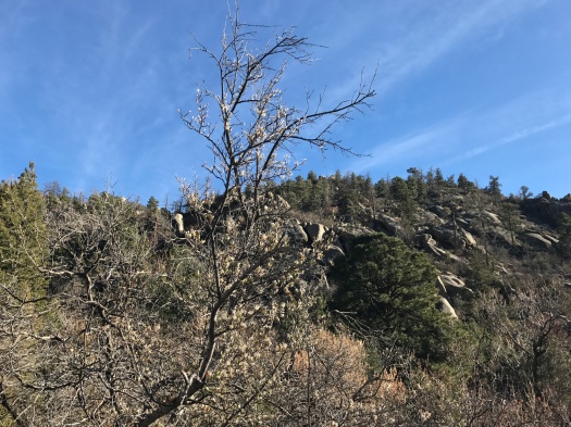
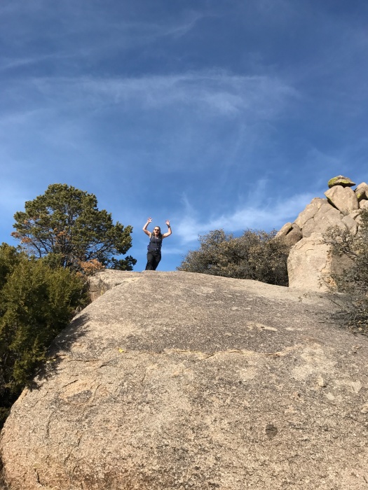
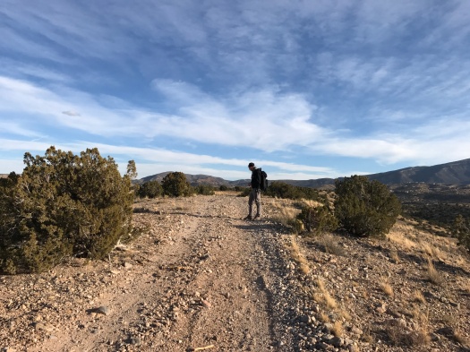
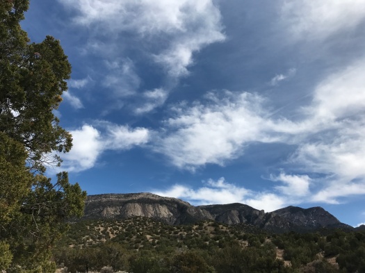
The trail we were on dead-ended at a Forest Service road, and that’s when the possibilities for just wandering began to multiply. First we realized we could use the Forest Service road to make a loop back to the trailhead. I scrambled up a steep side trail just to get closer to the brilliant sky.

IMG_0057

IMG_0061

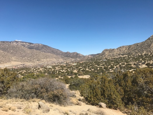
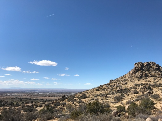
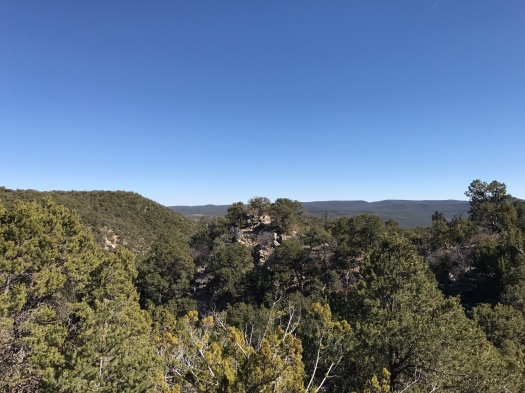
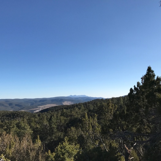
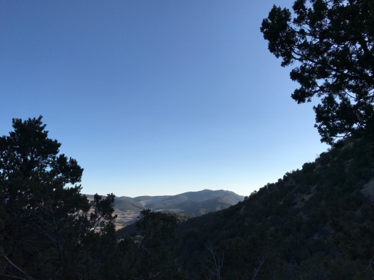
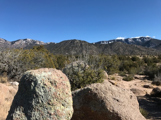
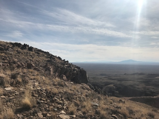
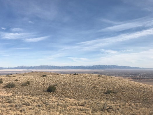
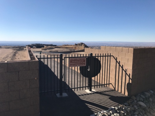
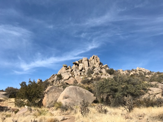
As we headed back, the cloud cover did a 180. The green tops of the mesas on Santa Ana Pueblo began to glow, while behind us, the mountains dimmed as the clouds blocked their light. We could see all the way to St. Peter’s Dome in the Dome Wilderness, 30 air miles away.

IMG_0072

IMG_0076
Though we saw some passenger cars parked on this road, the sign is accurate.

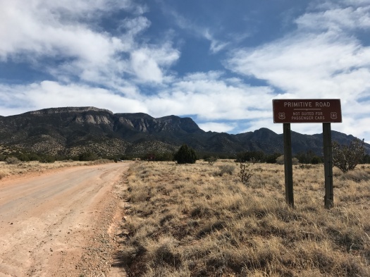
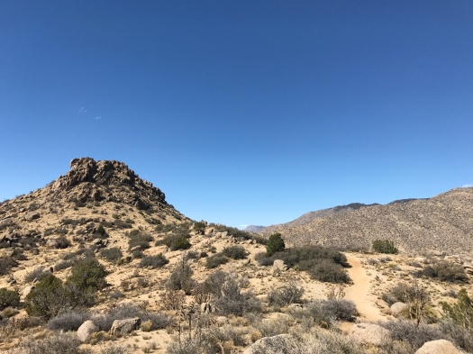
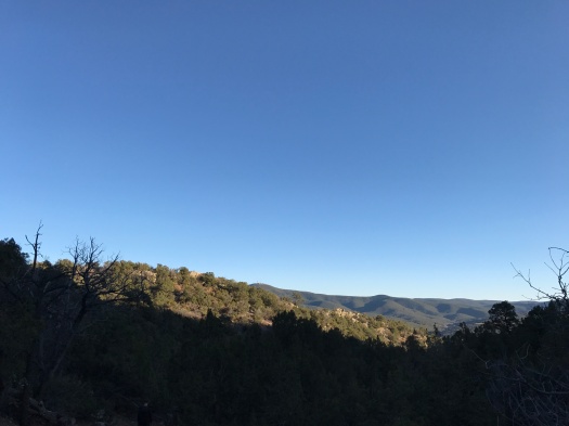
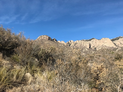
I eyeballed the many side trails leading into the Sandia wilderness on our way back. Using the full Placitas and Sandias trail networks, plus the entire forest road, someone on foot could ramble for an entire day.

One of these days, someone on foot will.

Hike length: 5 miles

Difficulty: moderate

Trail traffic: moderate

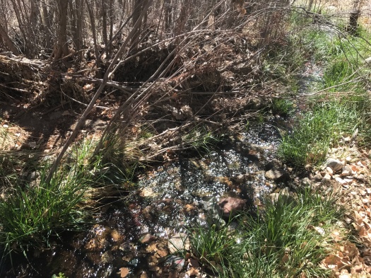
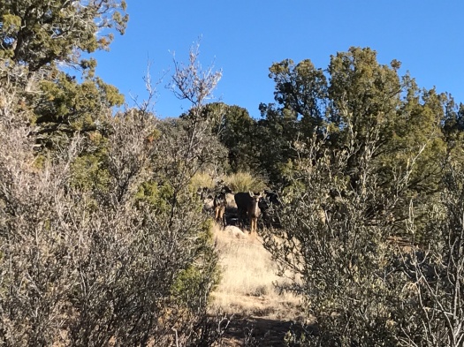
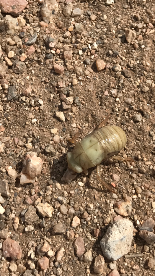
Wildlife spotted: chickadees, cicada larva (?)

IMG_0082
National forest typo. Everyone needs an editor.

You can get your hiking kicks right on the side of Route 66

We peered into the little-known open space we’d chosen sight unseen to hike today. A wash of gravel and concrete stared back at us. Semi trucks roared by on Interstate 40 just a few hundred feet away.

IMG_0003

I was having second thoughts, but here we were, so off we went.

Twenty minutes later, we were crossing a swiftly flowing stream in the shade of cottonwoods.

IMG_0006IMG_0009

Just over an hour after that, we were standing atop a ridge at the base of a towering granite hill.

I could have wandered there all day.

Route 66 Open Space belongs to the City of Albuquerque. I could find no maps of its trail system.

From its concrete-and-gravel beginning, you clamber down a steep and rocky path to what qualifies as a sizable New Mexican stream. As you leave the creek bed and enter the foothills, the American Society of Radiologic Technologists headquarters comes into view above you.

IMG_0004

I toured the building when it opened years ago. It has stunning views, but the ones in the open space are even better.

We corkscrewed up steep paths that appeared to be leading us right up the giant granite pile. On one of those paths, we encountered an array of fluttering birds and a tent tucked into a tree. It looked like someone’s illegal living quarters.

We skedaddled, taking a sunny doubletrack that wrapped around the foot of the granite hill, then climbed what seemed to be a neverending ridge.

IMG_0018

“I’ll stop up there,” I said repeatedly, and more ridge would come into view above us.

IMG_0021IMG_0023

We pushed up one long, steep incline that truly did look like it ended in the sky. Atop it, we could see the foothills stretching to the next ridge, the Manzanos’ Guadalupe and Mosca Peaks in the distance, and the plains rolling away to the west. An oasis of stick-like trees clustered in the foreground; my husband guessed it was the UNM golf course.

IMG_0027IMG_0034IMG_0035IMG_0036IMG_0041

We explored the back side of the granite pile’s base, peering into the south side of Tijeras Canyon from what appeared to be a giant throne of boulders.

It had felt like it took a long time to climb up, but coming back down went quickly.

As we crossed the little creek and clambered up the rock path, I looked behind me. Clouds cast a dramatic shadow over the granite hill. I grabbed my phone, but my storage was full and I couldn’t take a picture. I’ll just have to remember it.

It’s a memorable place, and there’s plenty more to see. Seemingly dozens more paths sprout through the foothills to the east and south.

Though you start out on the side of a highway, you end up in a fascinating landscape, and you have it mostly to yourself.

Hike length: 4.5 miles

Difficulty: moderate

Trail traffic: low

Wildlife spotted: flicker, jays, rabbits, butterflies, velvet ants


Sometimes, you have to go to where it all begins. In Albuquerque, this is that spot.

Everything has to start somewhere.

The South Crest Trail, the hiking spine of the Sandia Mountains, starts at the Canyon Estates trailhead in Tijeras. The North Crest Trail ends at Tunnel Spring in Placitas 26 miles north.

I’ve hiked both the northern and southern extremes of the trail, and covered some ground in the middle, too.

Starting at the trailhead of the South Crest Trail on a weekend, your first landmark is a travertine cave with a tiny natural spring spilling over it.

IMG_9897

On a beautiful day like today, it’s overrun with families trying to corral their kids.

You sure are prepared,” said a little boy, looking at my hiking poles.

“I’m going to try to go a long way,” I told him.

Then the Crest Trail climb begins, and the big groups with kids fall away.

The trail switchbacks up from Hondo Canyon, yielding views of the surrounding foothills and San Pedro Mountain. The sun beams down on the lower part of the trail, but cool shade spells it the higher you climb. On a day like today, with a southwest wind gusting to 40 miles an hour below, the mountain shields you from the wind’s worst.

IMG_9904IMG_9909IMG_9911IMG_9917

The first time I hiked these switchbacks, they were covered with ice. That climb was glacial. The 1,000-foot elevation gain was plenty challenging enough today in the sun. It’s the classic climb where blue sky peeks through and you’re sure you’re almost there; then, that experience repeats itself over and over as you huff and puff.

At the top at last, we quickly found a group of rocks to rest on, sun warming our backs.

IMG_9963

When we stepped onto the shaded Upper Faulty Trail, the afternoon had changed. The sun had fallen enough that we were chasing it instead of seeking respite from it.

Upper Faulty and Faulty Trails flirt with views for the length of this beautiful loop, teasing us with glimpses of the Ortiz, San Pedro and Manzano mountains. While Upper Faulty rolls gently, Faulty plunges, sending feet scrabbling on loose rock.

IMG_9965IMG_9975IMG_9978IMG_9982IMG_9985

We arrived back at the Crest Trail, and the cave, in the late afternoon. There wasn’t a soul there.

We finished the last mile of the trail where it all begins in quiet, setting sun rippling over the foothills.

Hike length: 5.7 miles

Difficulty: moderate

Trail traffic: moderate

Wildlife spotted: mountain bluebird, butterflies, nuthatch


How to have a staring contest with nine deer on one of the most popular trails in the Sandias

Do deer charge? I wondered.

I’d just taken one small step toward a group of five mule deer standing on a ridge about 20 yards away.

The deer in front took one small step in my direction, eyes on me.

I’m not sure what I was expecting, but it definitely wasn’t that.

I recalled some advice about cows from my hiking guidebook: If it doesn’t run away, steer clear.

She didn’t come any closer, though. The group milled around, seeming not to notice the people talking loudly on the trail behind us. Then the deer walked single file along the ridge.

They stopped for a minute. I took one step in their direction, to see around a branch.

Again, the deer in front took one small step toward me. She craned her neck forward. Two deer behind her inclined their heads toward each other, as if to say, “What the hell?”

That’s when we realized there were more than five.

“Eight,” my husband whispered. “No. Nine.”

We watched them until they turned and walked away.

IMG_9878
I don’t have a picture that shows all nine; you’ll just have to believe me.


We saw nine deer on the Foothills Trail, one of the most popular trails in the Sandias, just north of the Elena Gallegos Open Space.

We saw nine deer within shouting distance of a warren of cul-de-sacs.

I believe we saw nine deer because the Foothills Trail had probably a third of its normal traffic today.

IMG_9851

IMG_9855

The day was brilliantly blue, but the temperature was only in the low 40s, and a brisk wind howling out of the northwest made it feel 10 degrees cooler. I layered up and put on my winter hat and gloves for the first time since a 7 a.m. hike at high elevation in October.

We still had to leap off the trail for our fair share of mountain bikes, but there was a trickle of them today, not a flood.

IMG_9864IMG_9870IMG_9888

I believe we saw nine deer because the more things you see in the outdoors, the more things you notice. The people behind us walked right past the deer. We could have, too. We probably have walked right past wildlife dozens of times, and will dozens of times more.

If you want to see a bunch of wildlife, you can go to places where you know there’s a lot of wildlife.

Or you can just be outdoors a lot.

I’ve spent most weekends hiking for the past three years. Before today, my grand deer-sighting total was two, spotted separately on the same summer day in Fourth of July Canyon.

There can be long stretches of monotony and when-will-this-end-already in hiking. Like baseball. Or courtroom trials.

But the more you do any of those things, the more you increase your odds of witnessing something spectacular.

Hike length: 6 miles

Difficulty: moderate

Trail traffic: light

Wildlife spotted: mountain bluebirds, jays, mystery bird of prey (probably a hawk), group of deer

You know that giant hill in Los Lunas? You can hike it. It’s awesome.

We were on our way to a mysterious place a friend had told me about, a place in Los Lunas where you can hike for hours without seeing anyone.

I’d looked up maps and directions. But it wasn’t till I turned off the interstate and started driving toward it that I realized: Holy crap, I’m climbing THAT hill.

It’s the major feature of Los Lunas as you’re driving through on I-25: a long, wide, tall, shadowy hill. It’s enormous, and a little foreboding.

Our hiking destination’s name: El Cerro de Los Lunas. Translation, “the hill of Los Lunas.” Roger.

Let’s dispense with a few things: On the one-mile trail leading into the preserve (creatively named “Trail Head Trail”), you could be forgiven for thinking the only color in the world was beige. There’s no shade anywhere in the preserve. For a good five months a year, El Cerro de Los Lunas is undoubtedly the same temperature as the surface of the sun, its volcanic rock crawling with rattlesnakes.

IMG_9783
Reads like it’s telling the rattlesnakes to stay on the trail, doesn’t it?

That leaves you seven months of the year to enjoy its delights – and there are many.

We climbed onto the Overlook Trail, ascending steeply and gazing down into what appeared to be a giant scooped-out bowl of sherbet. Pale pink, orange, beige, white and gray striations stretched before us. An enormous bird, so large we thought it might be an eagle, swooped over a ridge, evading even our binoculars.

IMG_9785
We took the Stairmaster to the overlook.
IMG_9829
And what an overlook it was.
IMG_9828
Sherbet bowl
IMG_9826
Peeking through a crevasse into the sherbet bowl

As we meandered around the sherbet bowl, snow-capped Mount Taylor came into view, then the arrowhead range of the Sierra Ladrones. Behind the Ladrones was a cloud-covered range that I thought had to be the San Mateos or Magdalenas. High plains rolled away below.

IMG_9806

We watched a couple scramble up a 60-degree incline from the bottom of the sherbet bowl to the Overlook Trail. That made me really nervous, but they made it.

Crows wheeled above, calling to each other. Faraway train whistles echoed from the rail switching yard 10 miles south. We rounded the south end of the hill and the village of Los Lunas stretched below us. Though it only has 15,000 people, it looked enormous. A bend in the Rio Grande glimmered.

IMG_9803

At the top, we found an incredible view of four ranges to the east, from the Sandias back in Albuquerque to the Manzanitas, the snow-capped Manzanos and the Los Pinos Mountains.

IMG_9811
Manzanos
IMG_9815
Looking back at the Sandias

We hiked nearly seven miles and didn’t even cover half the marked trails. Among those we missed: the trail that explores the sherbet bowl (called – wait for it – “Bowl Trail.”)

Next time I drive through Los Lunas, I will look at that giant hill very differently, knowing there’s a whole world up there.

Hike length: 6.5 miles

Difficulty: moderate

Wildlife spotted: hawk or eagle, crows, sparrows, lizards, tiny dragonflies

Trail traffic: busy on Trail Head Trail, some traffic on lower section of Overlook Trail, none at the top

IMG_9781
Thank you, Huning family!

Welcome to the wildland-urban interface

We’re on a winding trail in the national forest.

We’re also, suddenly, staring into the floor-to-ceiling windows of a high-end home just a few feet away.

IMG_9761

On our right, more homes proliferate. Cul-de-sacs sprout. A new subdivision, foundations poured, rises from the earth.

IMG_9760

On our left, boulders upon boulders, rising to the mountain. A symphony of tweets rises from birds among the rocks, though we can’t see a single one.

IMG_9758

Today’s hike was the most blatant display we’ve ever seen of the “wildland-urban interface” – the increasing number of places where people have built homes and community centers amid wildlife habitats and wild forests. That zone is ground zero in wildfire science and much more.

We were on the Foothills Trail at the spot where the Sandia Mountains begin to rise from the earth. Pinon, juniper, dry arroyos, tons of mountain bikes.

The trail kept its form and style as it entered the housing zone, rising and falling, bending sharply. But at times, it looked like we were entering someone’s backyard. An enormous marker shouted out the trail number to reassure us that we really were on a hiking trail.

IMG_9762

The juxtaposition didn’t make the landscape any less beautiful. It was just surreal.

On the way back, we took a side trail that detoured into a canyon. It was the day after a huge windstorm, and while it didn’t bring any precipitation to Albuquerque, the sky and air were brighter and crisper than they’ve been in months. The thin film of dust that’s hung  in the air since November had disappeared. The intense green of densely forested canyon walls sloped into many shades of gray rock, then into a sky that seemed to pulse with blue.

IMG_9767

IMG_9768IMG_9770

We could see all the landmarks: Mount Taylor, White Mesa, Cabezon Peak, the arrowhead Sierra Ladrones ridge. Two balloons hovered over the West Mesa.

We saw a single house, barn and stock tank far away, deep in the canyon. They looked like they’d been there forever.

Or at least since the urban-wildland interface began.

Hike length: 5.7 miles

Difficulty: moderate

Trail traffic: moderate, lots of mountain bikes

Wildlife spotted: sparrows, jay

P.S. Thank you, Fat Boys on Mountain Bikes (FBOMB) for making today’s hike possible!

IMG_9749

Yes, Virginia, there is water in the desert. We found some.

I saw it before I heard it.

Water.

Cool, clear water, trickling over rocks, leaves and branches.

IMG_9734

Maybe I hadn’t heard it because I’d almost forgotten what it sounds like. It’s rained once in Albuquerque in the past 120 days.

Year-round streams in the Sandias are rare. But we’d stumbled upon one, about a mile up Domingo Baca Trail.

Truth be told, I wasn’t that excited to take this hike. I love the desert and its colors in all seasons. But with this brutally dry winter, there’s no getting around it: Everything just looks faded and dusty. It had begun to feel like we’d never see water and colors again.

But then we did.

We clambered over the little stream and over a ridge. Evergreens lined the north-facing wall of the canyon. Patches of snow nestled at the base of some. A red-tailed hawk swooped along the canyon wall and perched in a tree.

We lay in the sun on a boulder, soaking up the sight of blue sky and green trees.

IMG_9738
View 1 from our boulder resting spot: evergreens.
IMG_9737
View 2 from our boulder resting spot: mountain peaks.

IMG_9708

IMG_9713

IMG_9719
I menace you from atop a giant boulder

On the way down, we passed a ruin, a small stone structure.

IMG_9742

Near it is an unmarked trail to a site where a plane crashed in the 1950s. It’s said to be one of the most difficult and beautiful hikes in the Sandias, and the most haunting. It’s on my bucket list. That’s why we were scouting Domingo Baca Trail today.

I’m grateful that trail brought me exactly what I needed to see.

Hike length: 4.7 miles

Difficulty: moderate

Trail traffic: moderate

Wildlife spotted: red-tailed hawk, canyon wren, mountain chickadee, bluejay


To share or not to share your favorite hiking spots? That is the question

An acquaintance posted a gorgeous image from a recent hike on social media.

I commented, asking if he was willing to share the location of this beautiful spot.

He wouldn’t share exactly where it was.

He’s not the only one.

It doesn’t make me angry when someone won’t disclose a favorite hiking spot to me – that’s a personal choice.

But, in New Mexico at least, it bewilders me.

Take a place like Herrera Mesa, a silent, sun-swept, eroded landscape next to the To’hajiilee reservation.

I’ve posted about it and told several people about it in person. Of the people who’ve read or heard what I’ve said about it, maybe one will ever visit it.

That would be one more human than I’ve ever encountered there, and it would have no impact at all on my enjoyment of the place.

In 5280 Magazine’s wonderful package on how Colorado’s wild places are being loved to death, one photographer said he doesn’t reveal the exact locations where his images were taken if they’re not on official trails. He doesn’t want to be responsible for hordes trampling those beautiful places, disturbing the habitat, leaving human waste behind.

I understand that.

But I have never encountered a mobbed hiking spot in New Mexico. I’ve encountered some that have a steady flow of hiker traffic. More of my hiking stories include the words “We didn’t see another soul.”

Those experiences are incredibly special. But at most of New Mexico’s wild places, there’s room for more people to enjoy them without ruining the experience.

I don’t know where the tipping point is. Maybe hikers in and around Colorado’s Front Range enjoyed solitude once too, before the booming economy drew people there in droves.

Maybe, at some point, one too many people told one too many people.

New Mexico is full of incredible lands far beyond its few famous tourist spots. I love to share the unusual sights I see in those places. It’s never even occurred to me to keep them secret. They don’t belong to me. They aren’t my secret to keep. Every one of them is open for the public to enjoy.

It’s also not my place to judge the fellow who wouldn’t tell me where to find that quiet spot near a popular tourist attraction.

But I would like to understand that impulse better.

Do you share your favorite hiking spots, or keep them close?

Why is that your choice?

P.S. Any guesses where I took the photo above? It’s not a secret.

The calm before the storm in Placitas

We could see it in the distance, over the Jemez Mountains: small clouds forming in a pale sky. White on white.

A winter storm rolls in tonight. In Albuquerque, it’ll rain a little and the wind will heave a lot of dust around.

But it will snow somewhere in those mountain ranges that surrounded us today in Placitas, which is all we can ask.

This hike is a combination of Albuquerque Open Space and BLM land. The route’s from Stephen Ausherman’s “60 Hikes Within 60 Miles of Albuquerque.”

When we arrived at the trailhead, we found the parking lot empty. We’d passed the trailhead for the beautiful hike we did a few weeks ago in Placitas, just a few miles from I-25, and it was full.

This hike winds through juniper-dotted hills to the Las Huertas creek bed, where there’s no sign of water.

IMG_9667

When we did this hike two years ago, on Easter Sunday, we hiked up the creekbed for two miles, navigating ankle-twisting rocks. The rocks were stunning; one was brick-red with big powder-blue polka dots. Today, we stuck to the path along the bank. That brought some unusual sights of its own.

IMG_9670
Well, that’s one way to do it.

As we walked east along the creek bed, the green-topped mesas of Santa Ana Pueblo came into view, the Jemez looming beyond. We found an array of shotgun shells; as we finished the hike later, we’d hear shooting.

We crossed under humming power lines, headed into a wash, then up an arroyo for 0.7 miles.

IMG_9679

That slog up the arroyo as it gradually gained elevation qualifies as one of those hiking times when you’re just ready for that part to end. Going uphill in sand is hard, my right hip throbbed from the repetitive motion, and the beautiful juniper lining the arroyo clogged and stung my nose.

All that seemed easy when we arrived at the next leg of the journey: a quarter mile of a 45-degree grade.

The prize: an outstanding view of those green mesa tops on the pueblo, and an excellent perspective on just how massive the Jemez range is.

IMG_9685

The path from there was blessedly flat. As we walked across the parking lot, I looked over and saw one mesa glowing in the setting sun, Cabezon Peak rising dark and foreboding behind it. It was too far away for my camera to capture, so my eyes just drank it in.

With any luck, those hills we climbed will get dusted with snow tonight.

IMG_9688IMG_9690

Hike length: 4 miles

Difficulty: On the easy side of moderate

Trail traffic: none

Wildlife spotted: mystery bird of prey

Why I’m doing the #52HikeChallenge

Because I want to do the thing that makes me so happy as often as I can.

Because I have a hiking blog, and more hikes means more writing, another thing that makes me really happy.

Because I want one more reason to overcome excuses.

Because it’s possible, but not easy. I didn’t do 52 hikes in 2017.

Because it could spark creativity. I’ve talked about how easy it would be to hike Carlito Springs after work for months, but I’ve never done it. If I miss a weekend hike on this challenge, I might just do it.

Because I made a list of a bunch of special places I wanted to go in 2017 and only made it to one of them. I wasn’t going to set any hiking goals for 2018 at all. But with this one, the possibilities are wide open as long as you’re doing the thing.

Because, as this article by Gabriella Marks aptly puts it, hiking isn’t all summits and sweeping views. It’s tedium and blisters and repetition and turning around a half mile short because that’s the safest choice for you that day. The more of those dues you pay, the more summits and sweeping views you might reap.

Because it brings me closer to the only goal I did set for myself in 2018 – to spend more time with humans in real life, especially my life partner, who is also my hiking partner.

For the record: Nobody’s paying me to do this challenge or write about it, I’m doing it because I want to.