How the winter solstice looks from Atalaya Mountain

DSC01058

Fifty feet makes such a difference.

At the overlook, a brisk, chill wind whips your face.

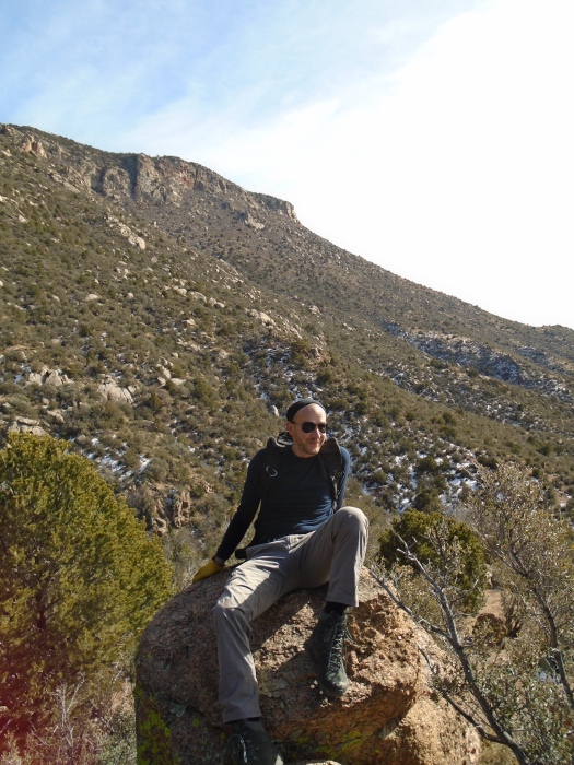
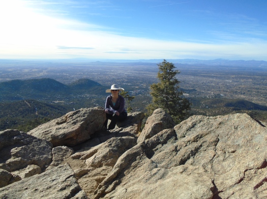
But we’re lounging on a rock higher up the hill, protected from the wind, soaking up the sun.

The sun brought me here today.

I’d realized a week ago that I’d be off work on the winter solstice, the shortest day of the year. I made it my mission to do a full-sun hike that day.

DSC01051

DSC01052

DSC01054

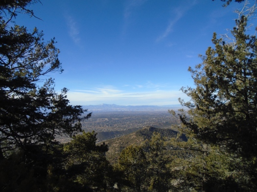
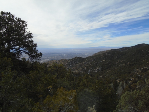
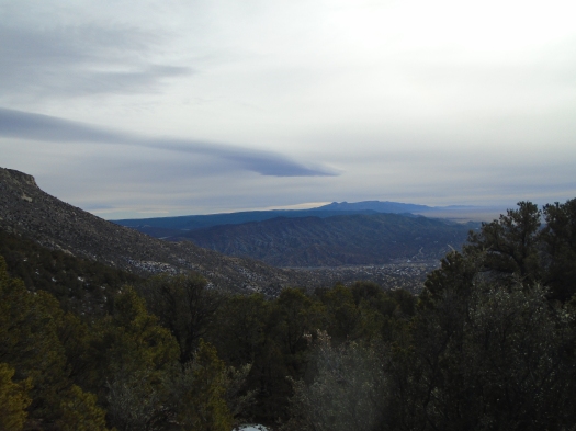
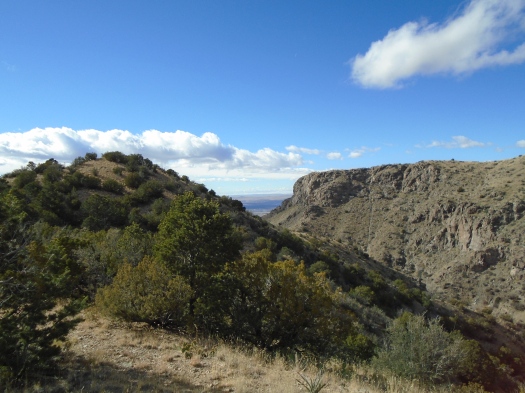
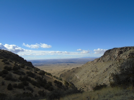
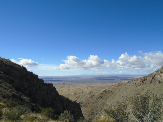
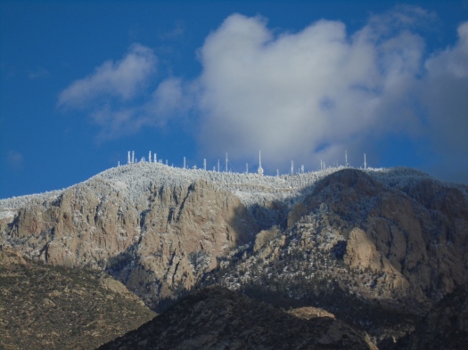
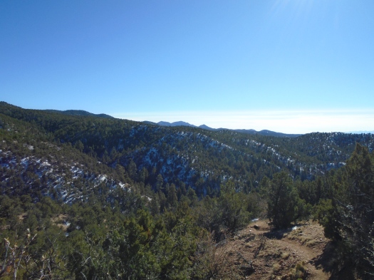
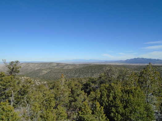
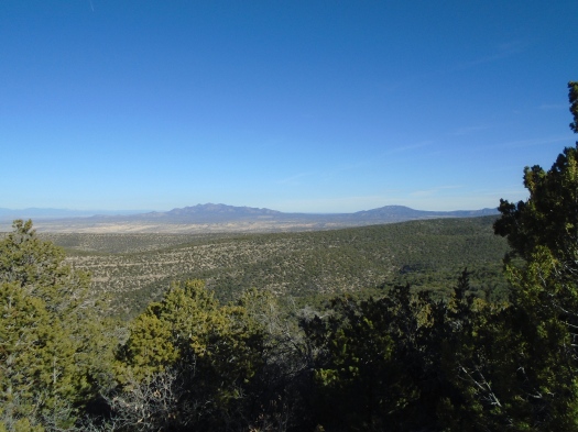
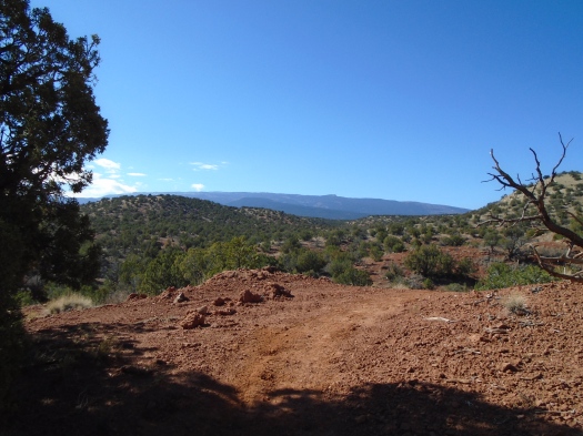
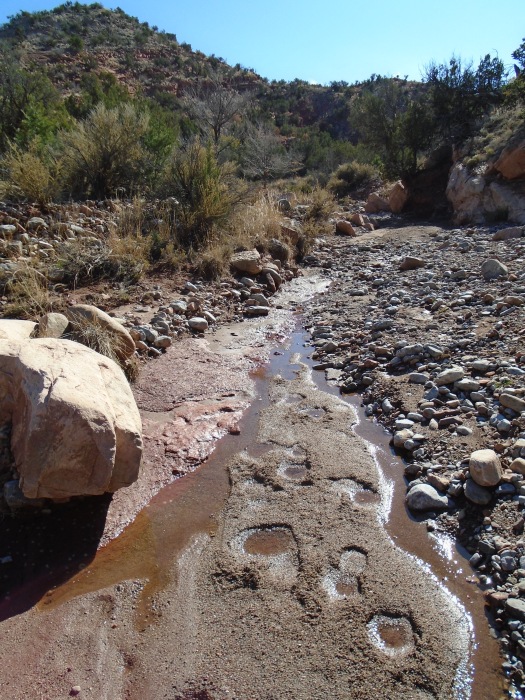
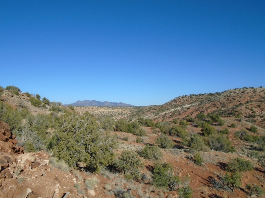
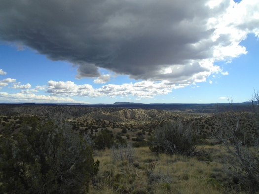
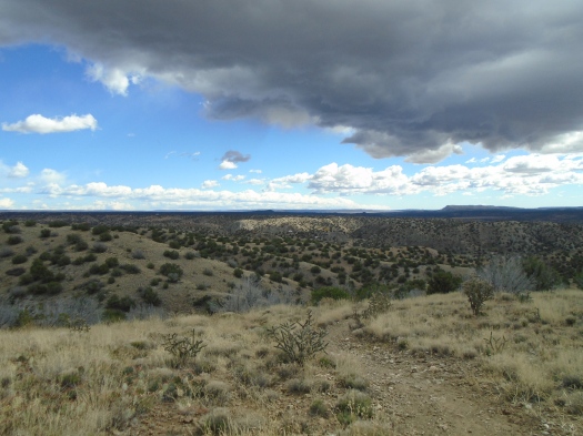
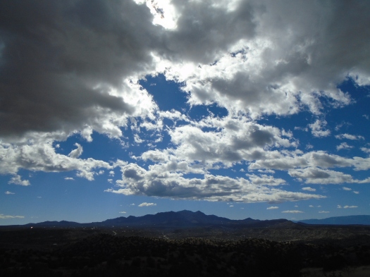
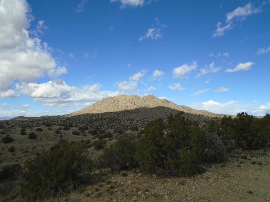
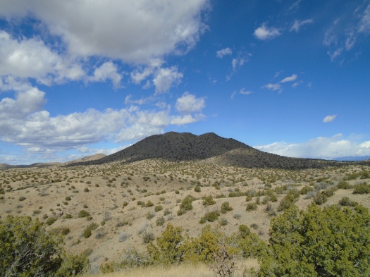
I’m looking at the place where we’d planned to hike, Tetilla Peak, miles away and 2,000 feet below where we sit. Our truck wouldn’t start this morning and the rough road to Tetilla demands high clearance, so we needed a destination reachable by car.

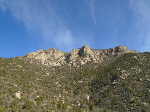
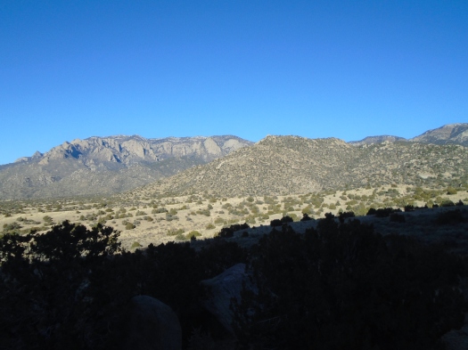
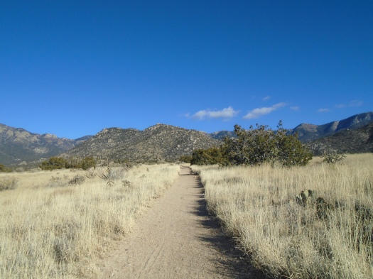
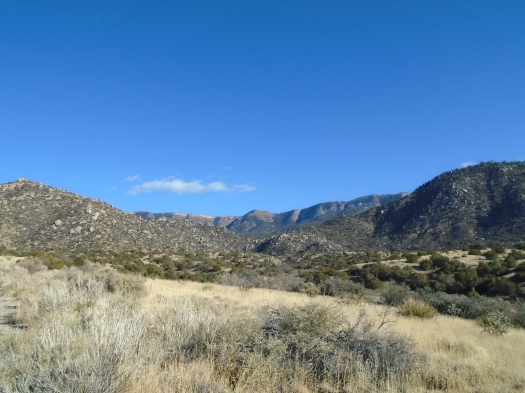
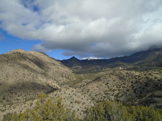
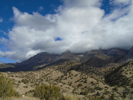
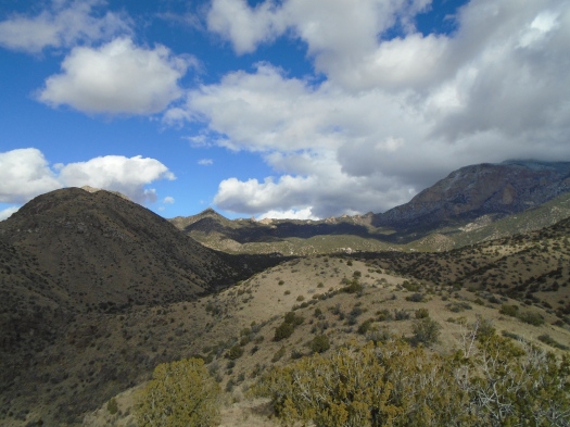
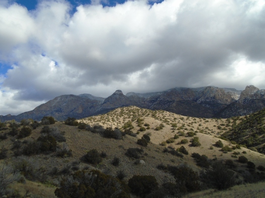
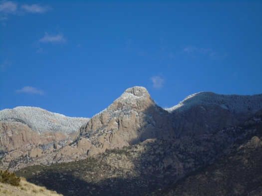
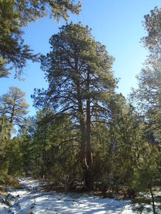
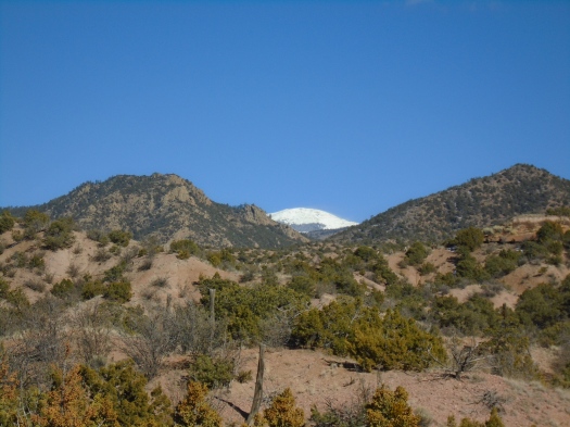
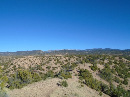
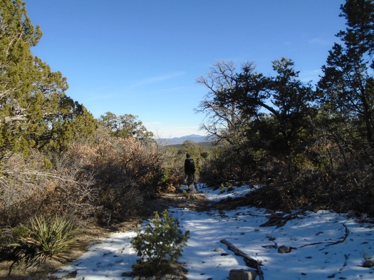
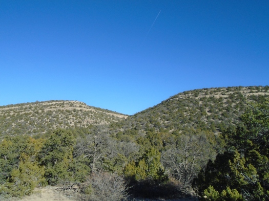
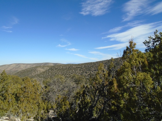
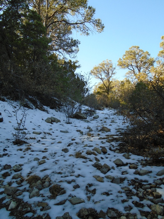
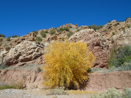
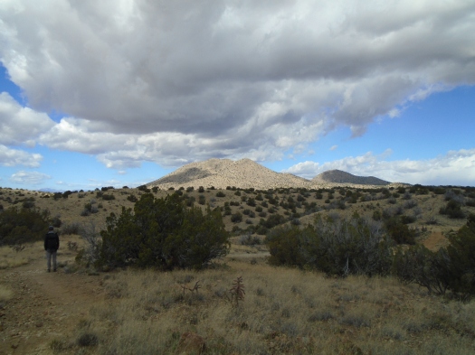
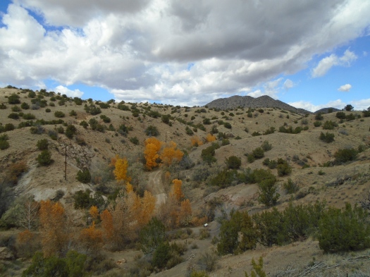
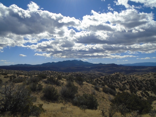
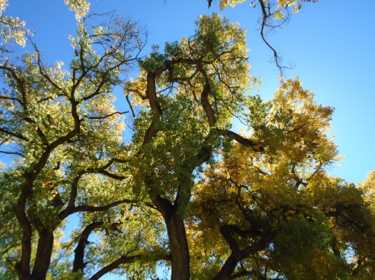
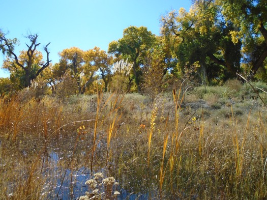
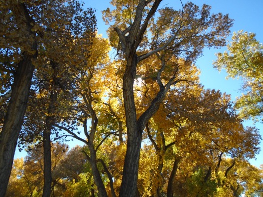
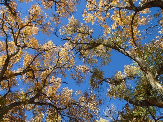
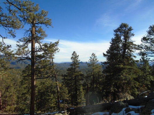
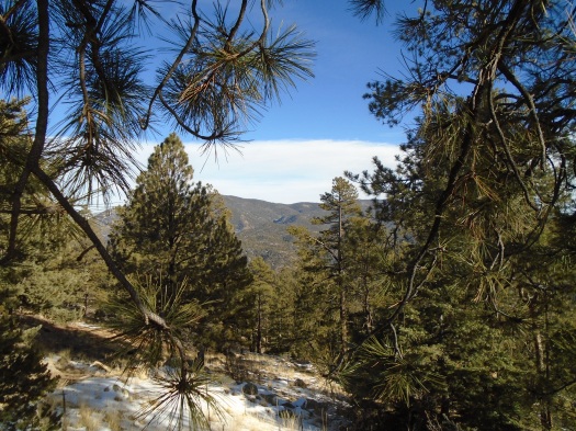
My husband suggested Atalaya Mountain in Santa Fe, a trail that tops out above 9,000 feet. I worried it would be too snowy. But Atalaya’s notorious sunshine keeps most of the mountain basking in the rays. Snow blanketed north-facing slopes around us, but much of the Atalaya trail was totally clear, save for a steep, icy section I dubbed “the chute.”

DSC01055

DSC01056

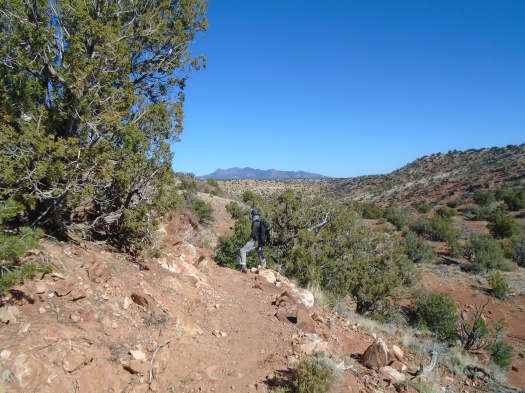
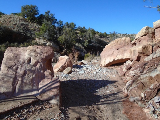
Early on, a well-marked fork in the trail presented a stark choice: “Easier Route” and “Steeper Route.” My husband charged for the steeper route, but I insisted we do the easier route, concerned about ice and my calf capacity. Even the easier route was tough; I was glad we’d done a comparably steep hike a week earlier.

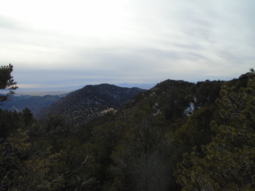
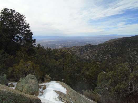
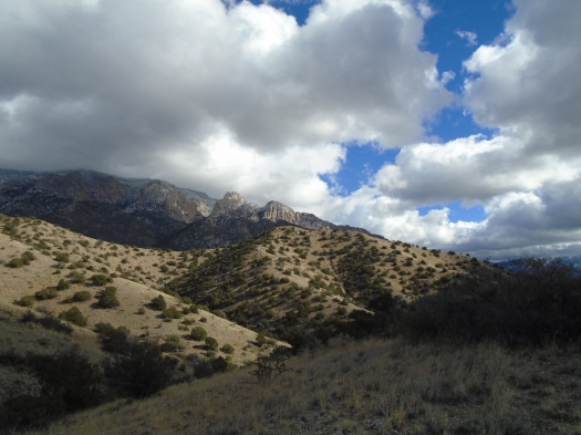
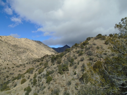
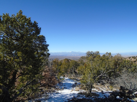
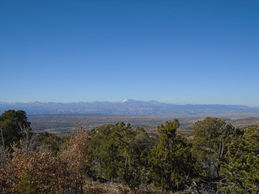
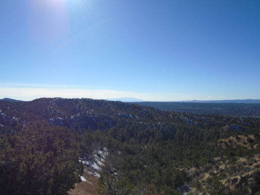
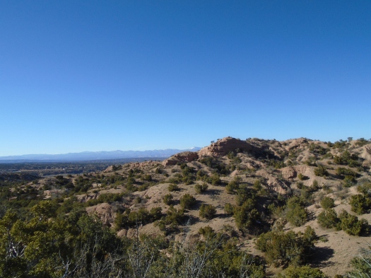
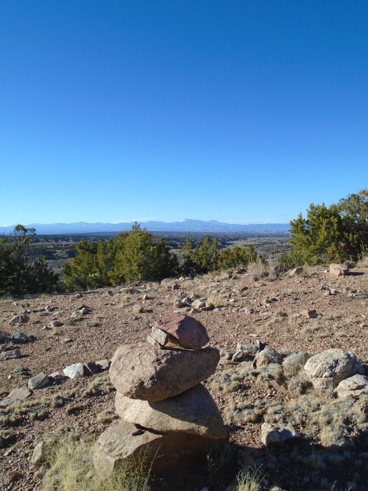
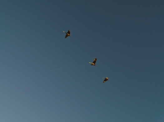
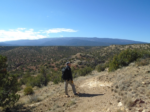
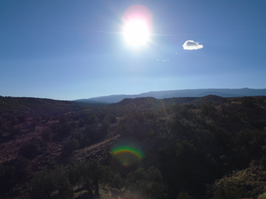
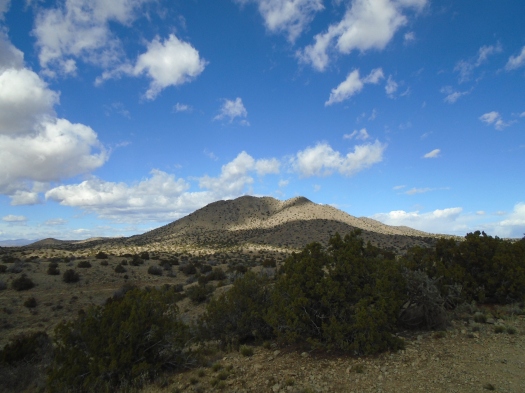
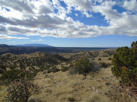
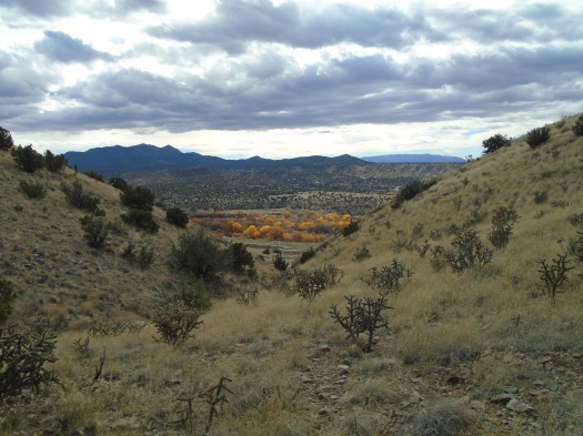
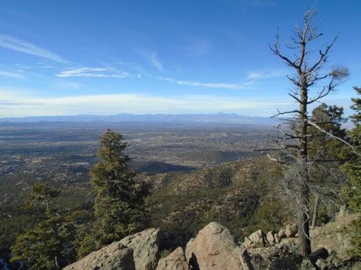
At the top, mountain ranges melted into clouds in the distance. Crows traveling in pairs and threes floated in blue overhead. My husband cawed at them and they cawed back.

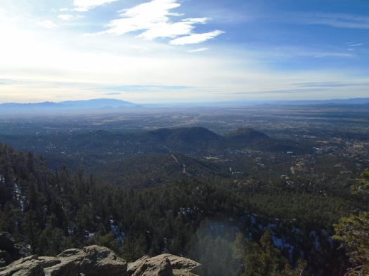
We stopped at a viewpoint on the way down just after 3 p.m. With the sun already falling, it looked more like 5 p.m.

DSC01067

Luckily, we’d gotten ample sun worship in already.

Hike length: 7 miles

Difficulty: difficult

Trail traffic: moderate

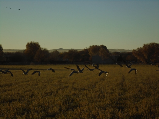
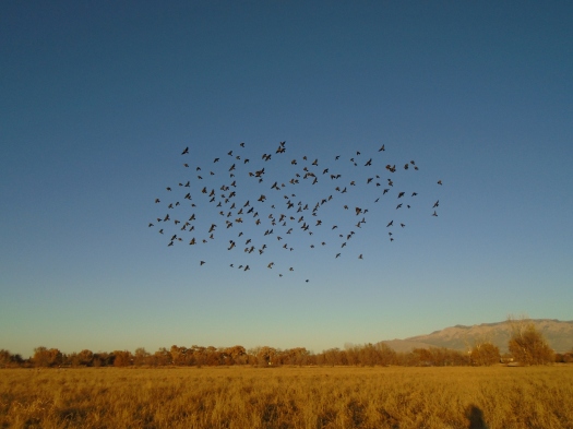
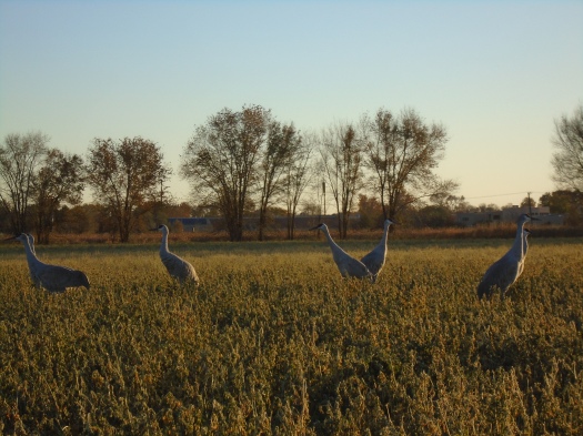
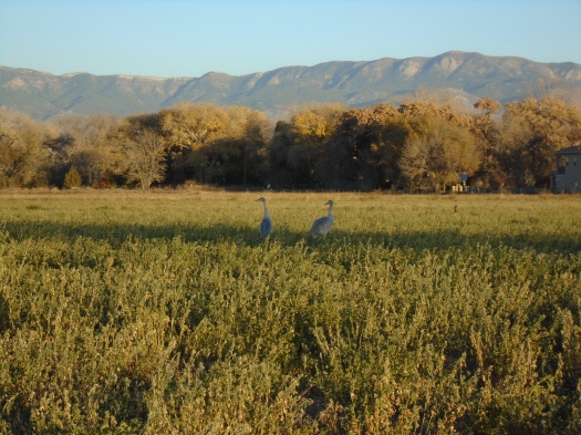
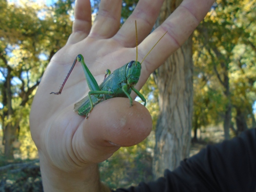
Wildlife spotted: crows, dark-eyed juncos, bluejays, a fleeting glimpse that might have been a coyote on the way down

With this hike, I completed the #52HikeChallenge in 11 months and 1 week!

Winter hiking challenge accepted at Three Gun Spring

DSC01037

The runner passes us on his way up the mountain and again on his way down. He embodies grace as he descends. His toes seem to hover just above the earth.

My journey doesn’t look so pretty.

The black diamond section of Three Gun Spring Trail begins about two-thirds of the way up. I’m already gasping for breath, my quads taxed to the limit. The upper half of the trail boasts many 45-degree slopes and few landings.

My resolve to keep a steady pace melts like the snow from the trail’s south-facing slopes. But I keep moving, one foot above the other.

On a long, endless incline, I think I just can’t make it to the overlook at the top of this section today. But I remember this incline. I felt the exact same way the last time I was at this spot, and then realized I was almost at the overlook.

DSC01027

DSC01025

We push on. The desert on either side of the trail gives way to a light snow cover. I know I’m close, close enough to make it. The junction where several trails meet appears.

I look out gratefully over Tijeras Canyon. We started the hike under brilliant sun, which kept me warm on the climb up, even in 40-degree weather. But a blanket of cloud cover has moved in from the south. A dark cloud levitates over the Manzanos like an otherworldly craft.

DSC01033

DSC01029

DSC01042

A raven caws high above, then shifts to a call that sounds like water dripping in a cave.

I know the trail gets easier above this junction, and I’m not done exploring.

DSC01039

Hike length: 6.8 miles

Difficulty: difficult

Trail traffic: light-moderate

Wildlife spotted/heard: bluejays, ravens, dark-eyed juncos, spotted towhee

DSC01018
Baseball glove rock

When I need a hike stat, the Sandia foothills are my medicine

DSC01014
Around 12:15 p.m., I make a deal with myself.
If my headache, sore throat or cough get any worse, I’ll turn around. But I’m going out there. When the sun’s out, it’s usually warmer outdoors than indoors this time of year.
We arrive at the Michial Emery Trailhead in the Sandia foothills in the early afternoon. We actually have to circle the parking lot twice before a space comes free, a rarity at a New Mexico trailhead.
This foothills trail quickly meets a spiderweb of other trails that curve up and down arroyos, through mini-rock gardens and tons of cacti. To see it this time of year rests your eyes. The grass reflects light rather than displaying color. Blue sky, rock shading from gray to tan.
DSC01005
DSC01006
None of my symptoms get worse. They don’t get better. They’re just negligible, overshadowed by the warmth of the sun, the chill of the breeze and the shadow, the thrumming of the muscles in my legs as I climb.
We explore a side trail in the shadow of a rocky canyon wall. It contours steeply along the wall’s base. Just beyond that wall lies Embudito Canyon’s wildly steep north wall, the one we stumbled down a few weeks back, where I mooned the High Desert subdivision during cactus needle removal.
No mooning today, just as much motion as we can pack in (there are way too many people out here to drop trou anyway, although the trails tucked up against the canyon’s base are relatively quiet.)
We’re back at the trailhead a little less than two hours after we began.
It’s too soon, or maybe just in time.
Hike length: 4 miles
Difficulty: moderate
Trail traffic: busy
Wildlife spotted: swift, doves

Winter howls through Juan Tabo Canyon

DSC00982

This might be the worst idea I’ve ever had.

I’m on top of a ridge in Juan Tabo Canyon. Barely. Frigid wind howls from the northwest into my face. I fight the wind for each breath, each step.

A light snow falls, dropping a curtain between us and the mountains 4,000 feet above. We pass a man and two dogs coming out of the canyon. It’s snowing more back there, he says, the sky behind him dark and angry.

I was sure Juan Tabo Canyon would offer shelter from the wind. My husband was not. As it turned out, we were both right.

We scramble into a side canyon’s narrow neck. Its walls rise around us, a barrier from the wind. I begin to find my breath. The sun peeks through the clouds, just as the forecast said. The snow stops. Moments ago, I’d worried about hypothermia; now I’m shucking layers.

A trail rises from the canyon floor into the hills. We debate turning back, but the conditions will clearly only improve. We climb, clouds scuttling across the canyon’s back ridges and the notch in its west wall. The Sandias’ iconic Shield, Prow and my beloved Needle slowly begin to emerge above us, covered in snow.

DSC00912

DSC00929

DSC00938

DSC00955

We seek higher vantage points, more clouds and mountains and canyon. My husband notes a steep hill at the canyon’s southwestern end, one we’ve never explored. We’re ready this time for the wind as we reach a high saddle. He walks beside me and we steady each other against gusts that make staying upright a battle.

Atop the hill, we see everything: the flat plain west to the mesa, the snow-dusted South Peak of the Sandias, the sun playing on the icons above. The snow-covered cell phone towers glisten on Sandia Peak like icicles.

DSC00965

DSC00969

DSC00977

DSC00983

DSC00990

DSC00999

There’s no alternate way back to the trailhead from the hill; the path ends at the fence separating public land from the Sandia Pueblo. We have to backtrack, which means walking into the wind on that steep ridge and descent. My husband has tied my hat strings to my backpack, which keeps me from losing my hat when the wind rips it off.

Our city had no winter last year. We haven’t felt snowflakes on a hike in nearly three years.

Today offers a glimpse of how brutal and spectacular a winter hike can be.

Hike length: 4.5 miles

Difficulty: moderate

Trail traffic: almost none

Wildlife spotted: jay, beetles, one startled and unidentifiable medium-sized bird being carried on a gust


Black (and blue and green and white) Friday in the Santa Fe National Forest

If you wanted to take the hike I took today, I couldn’t tell you how.

It was my husband’s childhood arroyo hike into the Santa Fe National Forest in Tesuque. No drive to a faraway trailhead, no stopping to load up on supplies. Out the back door, into the arroyo, and it began.

We followed a web of dry watercourses and sunbaked game paths into the rolling foothills of the Sangre de Cristo Mountains. The wind blew briskly from the northwest. Fresh snow coated the entire top of Santa Fe Baldy, visible periodically between hills, and crunched under our feet. The wind chill never got above 40, but the sun blazed bright enough that I stayed warm in a long-sleeved wool shirt.

My husband has told me so many stories about haunting these arroyos, and more today. The spot where he and his two best friends played paintball for a bachelor party. The ridiculously steep cliff he sledded down and crashed unceremoniously. The time, walking with two friends, that a pack of dogs surrounded them.

The terrain pushed us gradually up, making it clear we were now in a forest. The bare hills fell away and ponderosas towered above. Our footprints fell among fox and deer tracks in the snow. Ravens rode thermals overhead.

DSC00859

Just as I was beginning to think what this hike could really use was some views, a very steep mountain bike path beckoned upward.

Vistas opened up almost immediately, and more just kept appearing as we climbed. Beige and red cliffs stretched all the way to the Valle Grande. Redondo Peak towered above it, dusted on one sharp side with snow. The bump of Tetilla Peak to the south, the Ortiz and Sandia Mountains beyond.

DSC00868

DSC00865

DSC00870

DSC00874

It was so tempting to keep climbing until Baldy came fully into view. But I had to get my sore legs back down the steep path, and we had to get back to Albuquerque by dark.

On the way back, we took more ridgeline paths, winding amid homes with walls of windows.

DSC00876

DSC00878

DSC00887

We stopped at a clearing with manmade circles and stacks of rock overlooking the Santa Fe Opera.

DSC00885

I’d been there before, but couldn’t quite place the memory.

“I think you were angry,” my husband said.

Hard to believe, but there was a time when I wasn’t wild about ascending a steep hill.

Luckily, I learned good things await at the top.

Hike length: 8 miles

Difficulty: moderate

Wildlife spotted: juncos, nuthatches, ravens, bluejays

Trail traffic: none

The cranes and the moon and everything

DSC00788
For prehistoric-looking creatures, cranes move really fast.
I’m standing in Los Poblanos Fields, my camera trained on a shimmering, circling flock of blackbirds.
DSC00800
Then there’s that rusty-hinge creak and a rush of wind. The cranes, the birds I’m here to see, have winged past me and gone.
There are more, tall gray sentries in the green field beyond. I know just where I need to be to have a chance of being under their flight path to the river.
DSC00823
DSC00810
DSC00785
When we lived nearby, I was out here at sunset night after night, photographing the cranes.
I position myself near a flock. My shadow shimmers long in front of me. The cranes lift off, but my camera’s autofocus leaves me behind. About 50 yards away, a woman with a lens the length of an arm snaps off dozens of staccato frames.
DSC00807
The field emptied, the moon rises over the mountains. Each time I blink, a few more inches of moon appear. I walk toward the east end of the field to get a better shot, but like the cranes, the moon eludes me, tiny in my viewfinder.
The mountains slide from watermelon to lavender to blue.
A large group of people walks slowly in front of me, a six-decade age range among them.
Context clues. Thanksgiving. Family. My family has done that same slow walk here on this holiday. Now this family is together, and mine is apart.
Now the cranes are at the river, the ducks quiet in the cool green grass, the moon high and icy.
Now airplane contrails shimmer over the mesa.
Night is falling, and I’m still searching.
Hike length: 1.3 miles
Difficulty: easiest
Wildlife spotted: cranes, ducks, geese, blackbirds, robins
Trail traffic: light-moderate

Reinvigorated in the snow on Osha Spring Trail

DSC00762

We stand beneath a towering pine tree, watching a downy woodpecker tap, tap, tap on the branches above us.

My feet are caked with snow and mud, but I’m in short sleeves and sweating, the sun beating down on me.

The snow was a surprise, and the mud with it, pulling my feet back down as I climb.

It had last snowed five days ago. The elevation here is only 6,500 feet at the trailhead, and, for the few who know this trail, it’s known to be sunbaked and rocky. But sometimes your feet are in the shade even when your body’s in the sun. So we were navigating two inches of snow for long stretches of this hike.

That was a challenge on this difficult-rated, steep trail. Factor in the mud, and some muscle went into this hike.

Osha Spring Trail’s defining features are pine, silence, solitude and views. First, the rolling hills of Placitas surround you.

DSC00777

DSC00750

As you rapidly ascend, a chunk of the high Sandias comes into view ahead. The Ortiz Mountains and the plains and arroyos draining them. The snowy Sangres. The rocky Jemez.

DSC00754

DSC00766

As I climbed rock, snow and mud, I had the fleeting thought that getting down would be twice as hard, and pushed it away.

DSC00760

Strangely, though, it wasn’t. I stepped carefully into the footprints we’d made on the way up, and stayed upright. We walked over fossil-laden rocks, raccoon tracks and what my husband was sure was a bobcat hairball (a first for us, though we’re quite familiar with the domestic cat variety.)

It was our first hike in the snow in nearly two years (the last was a New Year’s Day hike on the Winsor Trail in Tesuque).

I hope this winter brings us many more.

Hike length: 7.3 miles

Difficulty: difficult

Wildlife spotted/heard: ravens, downy woodpecker, jays

Trail traffic: none

What we found when we were looking for something else entirely at Golden Open Space

DSC00706

We had our minds set on one thing: the magical mystery slot canyon.

It had tantalized us at the end of an already-trippy arroyo hike at Golden Open Space in the East Mountains. I didn’t have the stamina to tackle it then, but neither my husband nor I had forgotten it.

So we headed out to Golden today. It’s a city of Albuquerque open space way down a long, winding road lined with spindly, naked junipers that look almost like palm trees.

First, a mesa with great views of the Ortiz Mountains and the east side of the Sandias. Then the descent to a rust-red trail that rolls up hills and across arroyos.

DSC00699

DSC00711

One of those arroyos had led us to the magical slot canyon. We couldn’t remember which one. We decided to follow the trail to the end of the route in our guidebook, thinking it would be close to the slot. We found lichen ranging from dusty blue to turquoise to chartreuse on the rock.

The trail emptied into a wide arroyo where, almost immediately, we discovered a natural spring that flowed for hundreds of yards. It bathed the rock below deep purple and brown and brick red. At one pool, we found a few deer tracks.

DSC00717

DSC00721

DSC00725

DSC00728

We followed the arroyo to its end, where it branched into another wide arroyo. A single huge cottonwood, leaves blazing yellow, stood against the arroyo wall.

We’d gone a long way, so we walked back up the arroyo, stopping to rest on a rock ledge. Sun poured down from a nearly cloudless sky as we sat on cool rock and listened to the wind and the birds.


DSC00733

Back at the trail junction, we took a spur we’d visited a long time ago. It led us to an overlook above a dramatic, narrow red-walled canyon, but it wasn’t the canyon we had on our minds.

We soaked up the sun and the breeze and the birds and the scents for hours. It was a wonderful way to spend a late-fall day.

DSC00741

DSC00743

Back at the car, though, we both admitted that we’d been distracted from what was around us by our disappointment at not finding that canyon.

I’d tried to just forget about it, but I’d carried that longing with me even amid all the experiences of the day.

The heart wants what it wants.

Hike length: 8.5 miles

Difficulty: moderate

Trail traffic: light

Wildlife spotted/heard: robin, vulture, canyon wrens, butterflies, grasshoppers, deer tracks


Cerrillos Hills treats us to a light show

DSC00590

The day glowed brilliant at Cerrillos Hills, but a huge dark gray cloud pulsed overhead.

No rain was forecast, and the cloud didn’t look like action was immediate.

But as we climbed the steep Jane Calvin Sanchez Trail, the cloud stretched. Its interior grew darker and fluffier.

DSC00544

DSC00556

Dramatic light played all over Cerrillos Hills State Park. Grand Central Mountain disappeared into shadow against the blue beyond. Gray lines hovered above a mesa, evidence of rain in the air. Fresh snow came into view on the distant Sangre de Cristos.

DSC00563

We’d begun our hike in the harsh light of noon, when photos here normally show little contrast. But it looked like sunset.

I stood in place, snapping photo after photo in the cold, damp breeze.

Last year in these rugged hills, scraped clean by miners, a canyon led us to the skeletal remains of two elk. Today we were on an official loop of marked trails, but the terrain was nearly as challenging.

We passed fenced-off mine shafts, some covered with mesh to prevent tumbling into their 20-foot depths. A canyon fed by a small mineral spring glowed yellow with cottonwoods.

DSC00568

A blue blur over the Sangres, like a raindrop on a windowpane, conveyed that it was snowing there again (hallelujah!) More clouds cast dramatic light on the jagged Ortiz Mountains. Mount Taylor was just visible on the horizon, 140 miles away.

DSC00573

DSC00635

DSC00626

I watched the clouds black out, then highlight Grand Central Mountain. A couple from Mendocino County joined us on an overlook, delighted. In 40 years of visiting New Mexico relatives, they’d hiked nearly everywhere we had.

DSC00613

DSC00645

As we talked, a racket arose from the mountain. At first I thought the park’s morning guided hike had turned raucous. Then we realized it was coyotes, yipping frantically. A dog’s bark followed, and we hoped fervently that he was leashed.

We bid the California couple farewell and made our way back through the rugged and rolling hills, stopping to admire the cottonwoods in the Cerrillos valley.

DSC00669

Our route back traveled a road studded with off-grid dwellings from adobes to tepees and Airstream trailers.

We almost didn’t see any of it. Our first hike attempt this morning took us to the green valley of La Cienega, just outside Santa Fe. But though the hike was on public land, the access route was gated and padlocked (not the first time that’s happened to us north of Albuquerque.)

My husband realized if we took dirt Waldo Canyon Road for about 10 miles, we’d reach Cerrillos Hills.

The strange little weather system that bathed the hills in light and shadow was just a lucky coincidence.

Hike length: 6 miles

Difficulty: moderate

Trail traffic: light-moderate

Wildlife spotted/heard: coyotes, hawk, raven, crow, butterflies, beetles


Way down Second Street, there’s a refuge

DSC00504

Valle de Oro is in such an unusual location for a wildlife refuge.

Miles down Second Street, outside the city limits, past metal recycling and barbed wire and construction. Only the bosque beyond – golden now, rich green in summer – shows you you’re headed in the right direction.

Then, suddenly, a dusty track leads into fields of deep green at the first urban wildlife refuge in the Southwest.

Today, lemon-yellow butterflies flitted up from the fields. A red-tailed hawk spiraled slowly, a smaller hawk nearby.

Brilliant blue sky beckoned three of us – me, my husband and his cousin Matt – from the car. The tops of tall cottonwoods glowed yellow and gold, leaves gliding down one at a time. The instant we entered the trees, the light took on a deep, warm cast. Matt and I dove deeper into the trees to try to capture that light in photos.


DSC00494

DSC00497

DSC00499

DSC00513

DSC00517

DSC00518

We followed meandering jeep roads and trails through the trees, then the underbrush, reaching the bank of the Rio Grande. Rich red-brown runoff swirled past us. A single sandhill crane held a stately perch on a midriver mud flat.

DSC00523

DSC00522

DSC00510

When we emerged from the underbrush further up the bank, a single black duck swam by, then burst upward in flight.

A gaggle of about 30 cranes flew high overhead, burbling their comforting rusty-hinge call. A seemingly helicopter-sized dragonfly buzzed past.

It was blazing hot on the bank, so we sought the cool shadow of the trees again. Grasshoppers skipped by, displaying red-and-black undercarriages. Geese flew low overhead. As we rounded a corner onto an acequia, the Manzanos’ Mosca Peak came into view before us.

This property has had many lives. Today, after days cooped up inside, it breathed life back into us.

Hike length: 4.7 miles

Difficulty: easy

Trail traffic: light

Wildlife spotted: sandhill cranes, geese, ducks, butterflies, grasshoppers, dragonflies, nuthatches, hawks

DSC00533