Before today, I had never been to the Sandia Crest.
That’s right. In eight years of living in Albuquerque, I had never had the quintessential local experience, the thing many visitors do within a few hours of arriving.
I can’t really say why. I’d hiked all over the mountain, including to the tram terminal at 10,400 feet. But I’d never made it up to the top, two trail miles and 300 feet higher.
Today was the day.
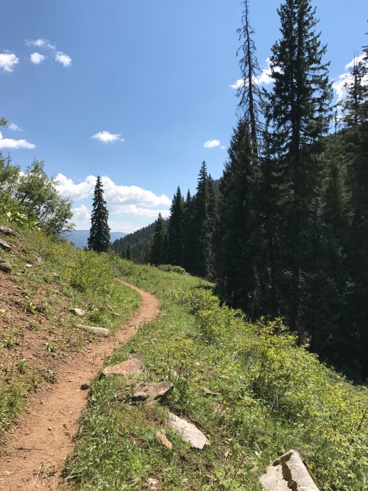
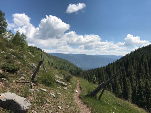
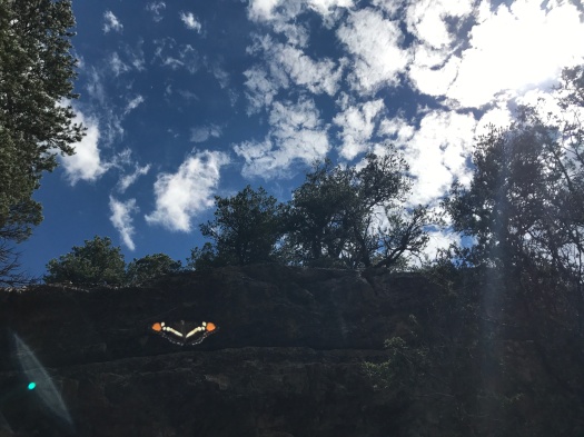
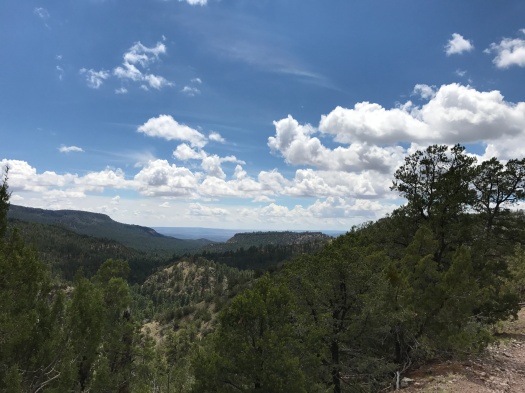
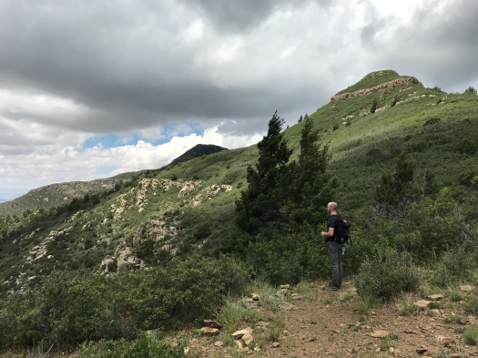
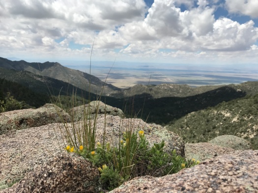
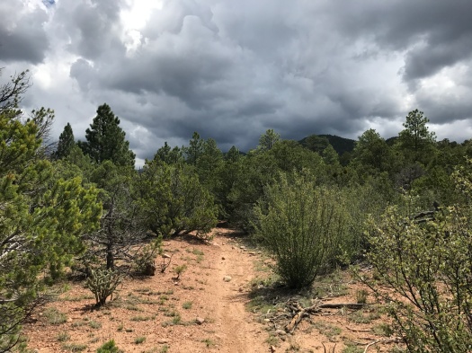
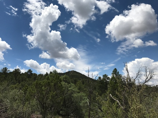
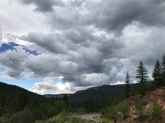
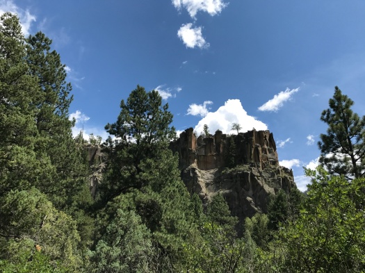
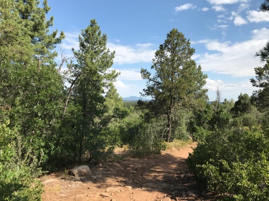
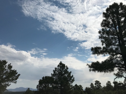
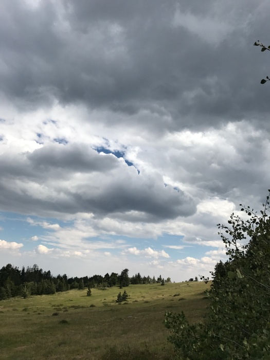
If you are beginning your hike from the Crest House, your first impression of the Crest Trail is staggering. I’ve hiked steep trails on many mountains, but none with such a steep dropoff so close on one side.
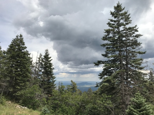
The scene is breathtaking. With the dropoff and the elevation, I didn’t have much breath to spare.
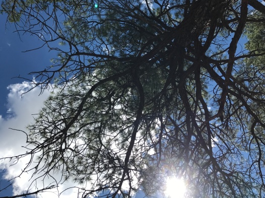
“CAW!” hollered a crow cruising just above us, closer and louder than I’d ever heard one. Then, as we stared up, five vultures wheeled into sight, riding the wind.
I hoped they weren’t circling because of an instinct about my ability to keep from plunging over the edge.
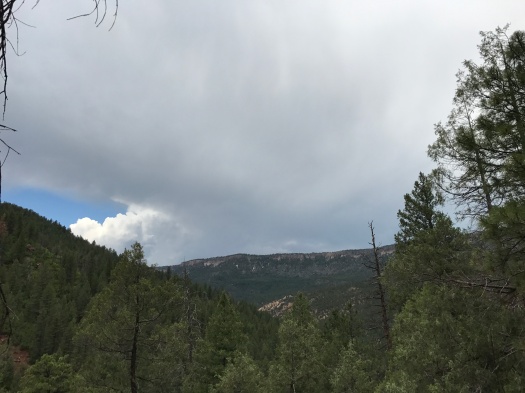
It was 65 degrees, sun and clouds regularly trading off, as the temperature climbed to 90 on the valley floor below. A gentle rain fell.
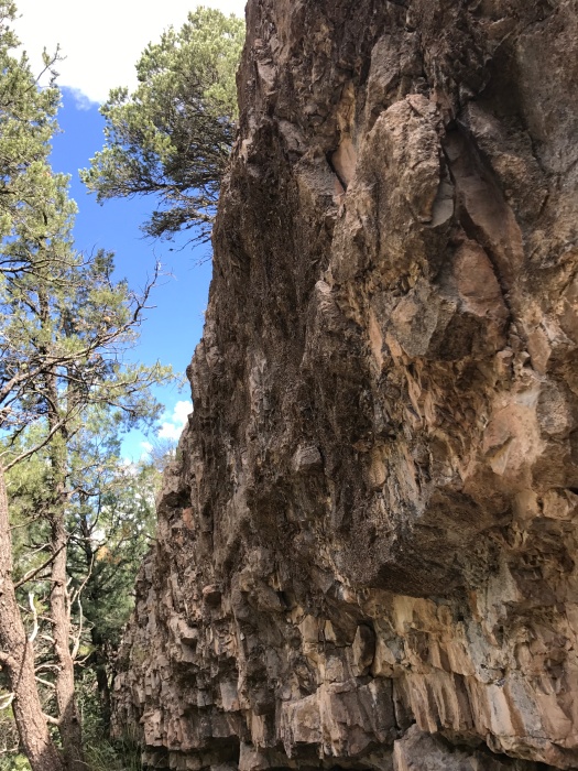
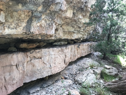
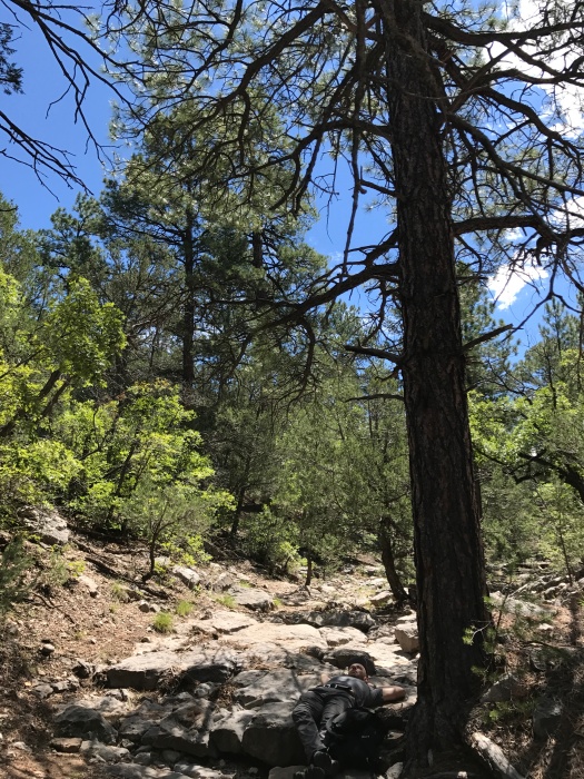
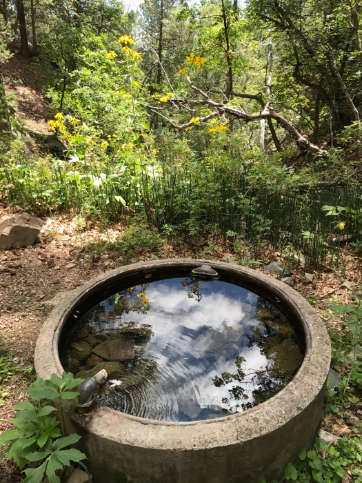
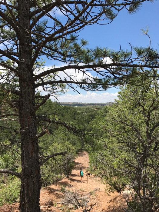
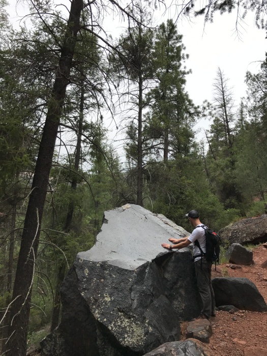
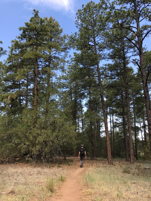
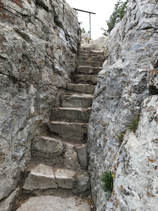
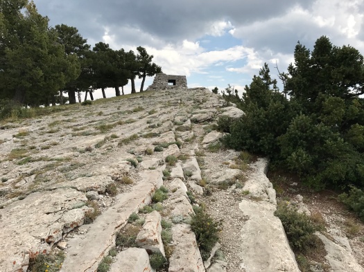
We climbed a short and narrow rock stairway, the limestone cool under our hands.
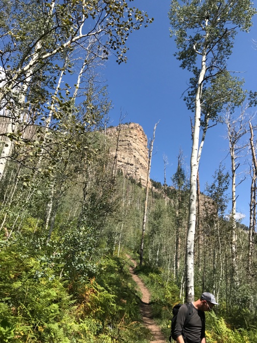
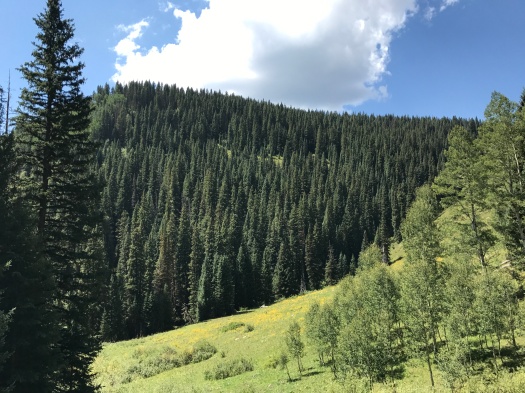
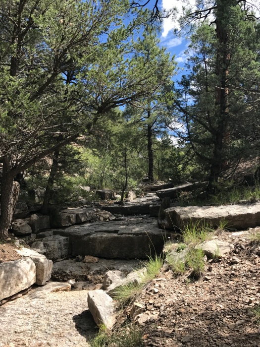
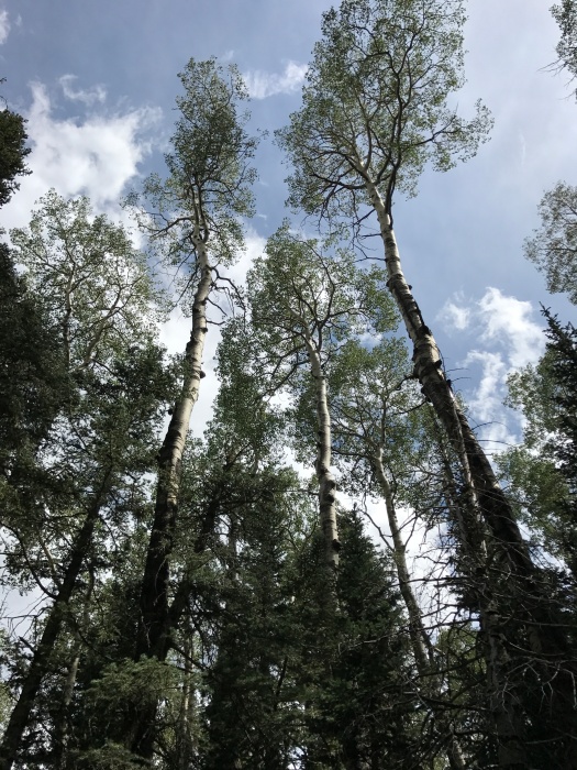
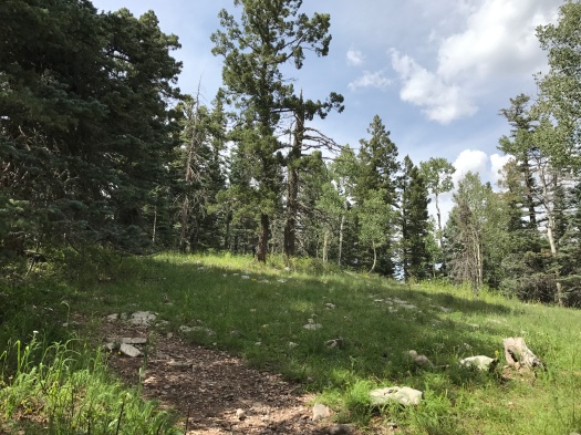
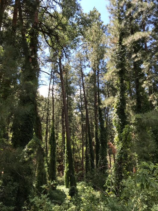
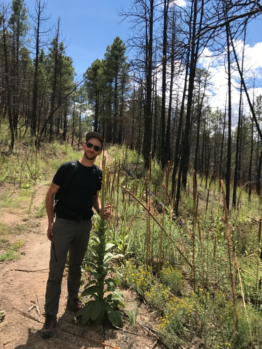
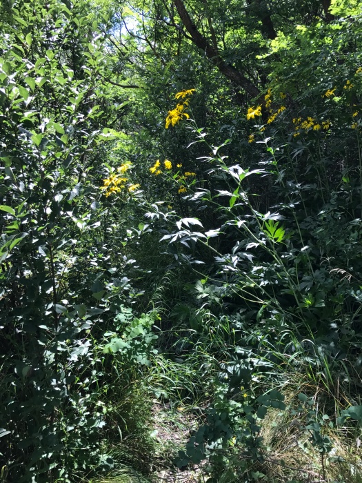
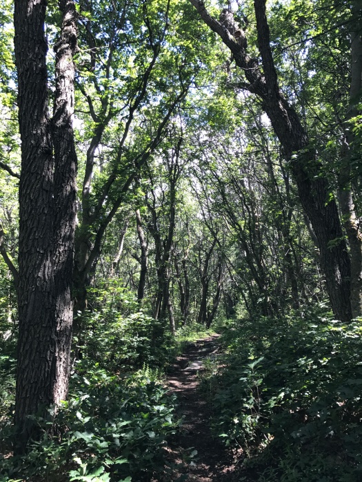
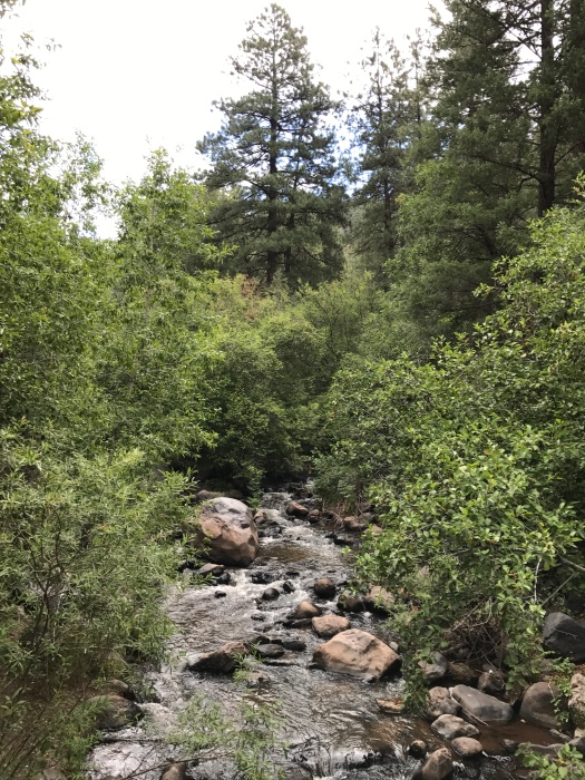
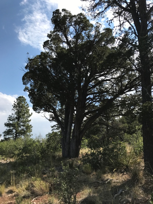
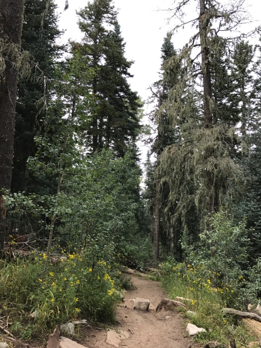
As we headed into the darkness of the tree cover, I felt steadier and more secure on my feet. Moss dangled from fir trees around us. The familiar scent of the forest filled my nostrils.
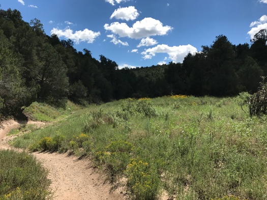
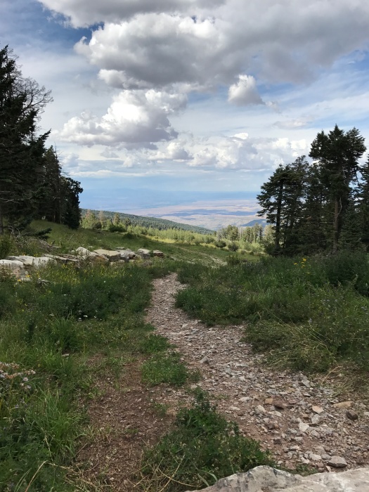
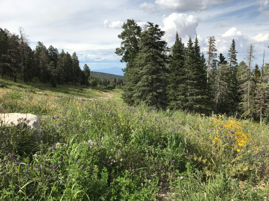
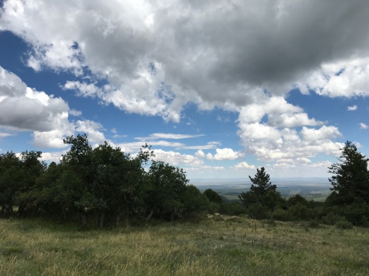
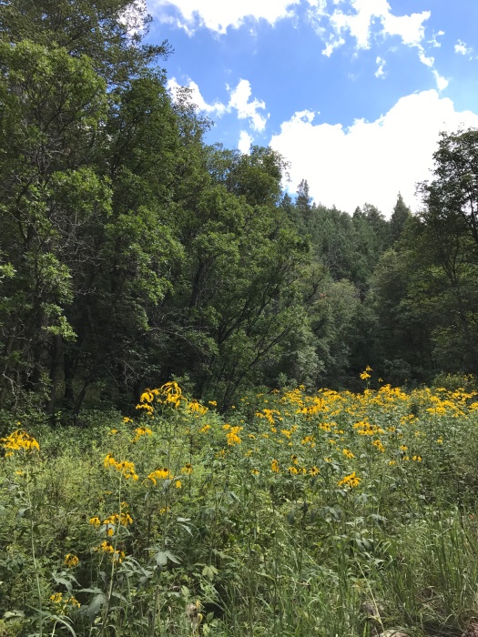
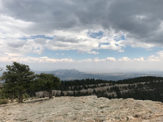
The sky ahead grew brighter, and a huge, lush meadow came into view on our left. It was closed to hikers, so we admired it from afar. The rain lessened, then stopped.
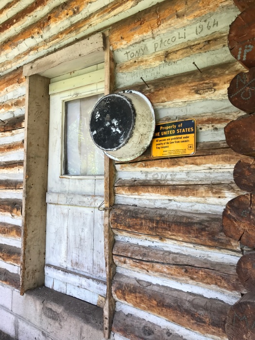
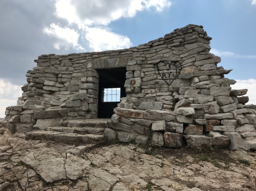
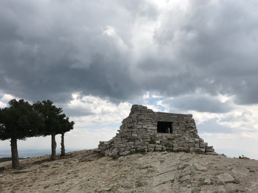
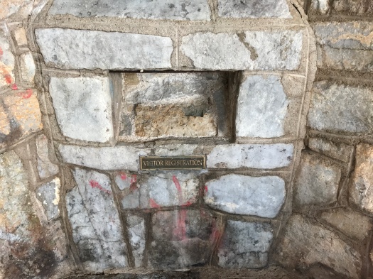
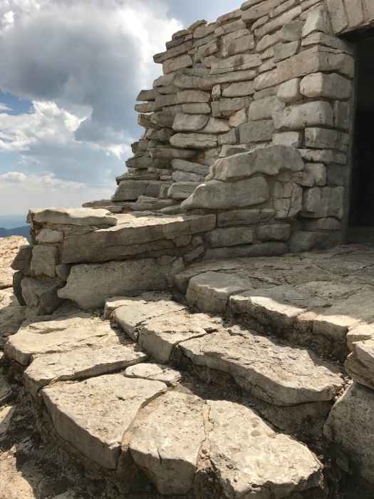
We spotted our destination: the Kiwanis Cabin, a stone cabin built by the Civilian Conservation Corps in the 1930s.
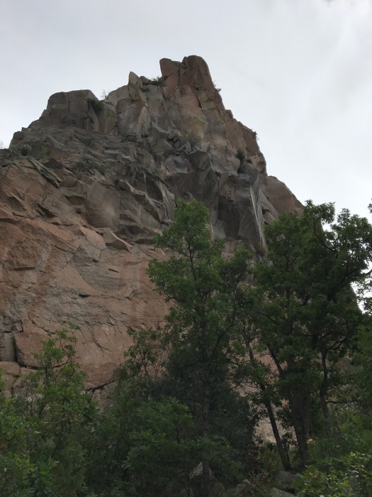
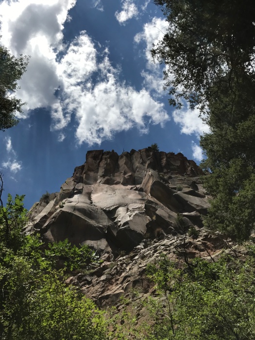
The cabin is amazing. It stands at the edge of a rocky limestone hill, sturdy and strong. Birds flutter onto its sills and into it.
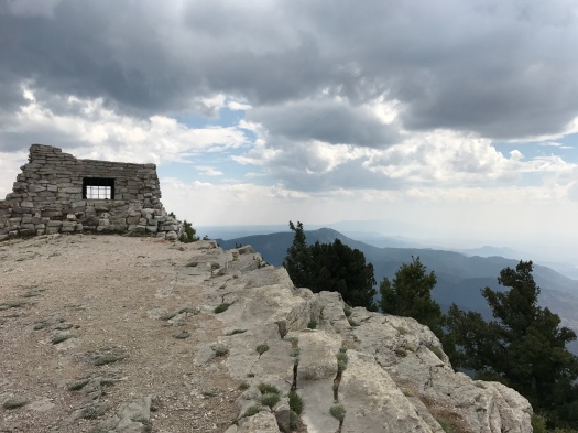
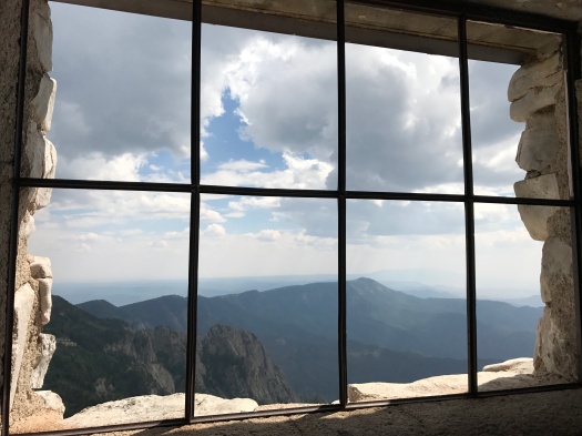
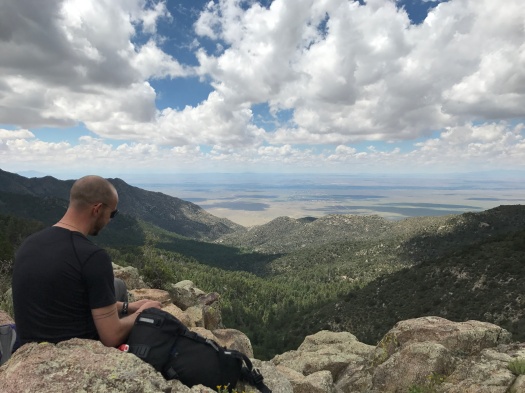
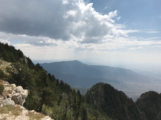
But as awesome as the cabin is, the view is even more incredible.
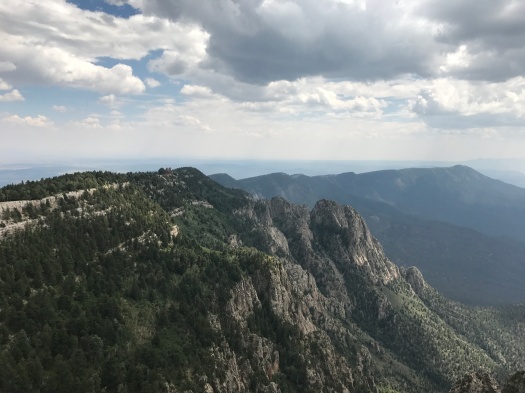
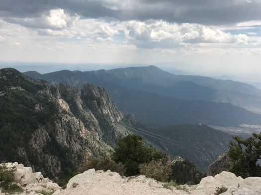
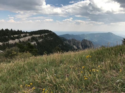
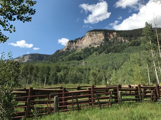
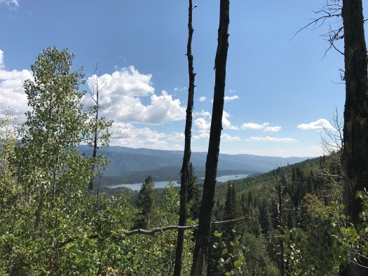
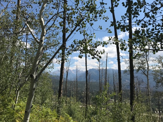
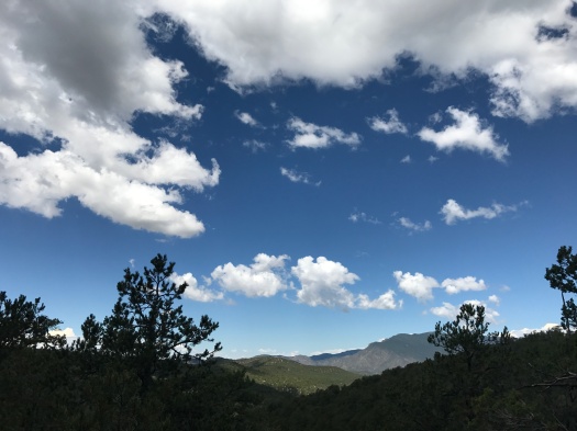
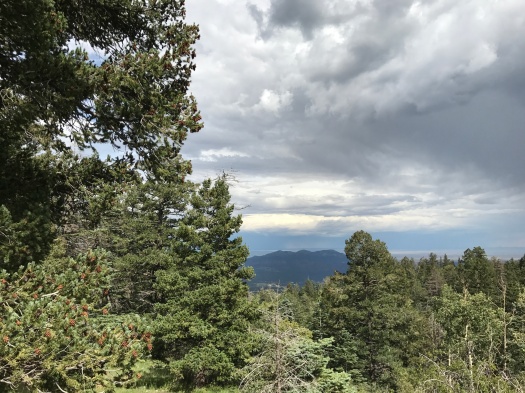
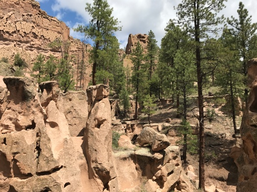
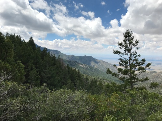
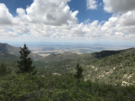
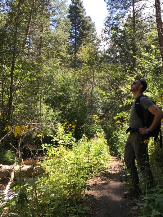
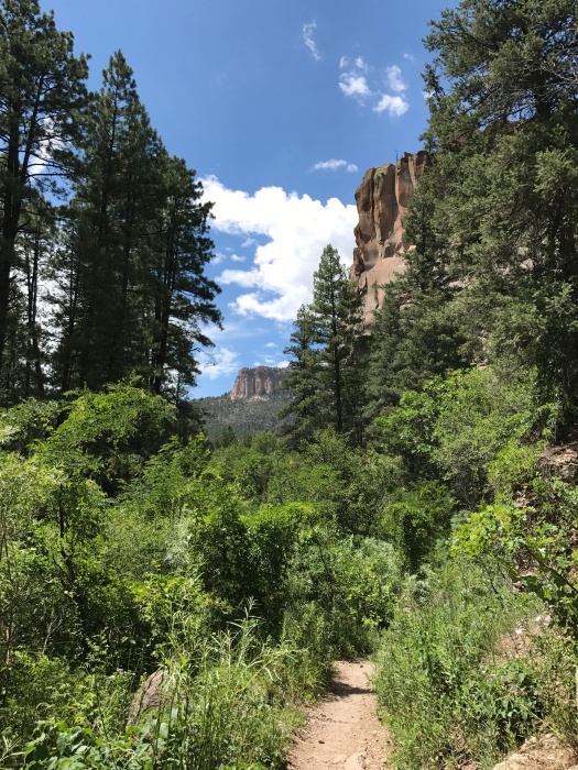
It offers a perfect vantage of the long limestone ridge where the tram terminal sits and the Ortiz and San Pedro mountains beyond. We could see the tram making its slow way down the mountain. It was hazy below because of smoke from the Oregon fire, but on most days, you’d be able to see the Jemez and Ladrones mountains, too. The cloudy, hazy sky created an incredible play of light and shadow on the ridge and the steep, rugged canyons below. I could have watched it all day.
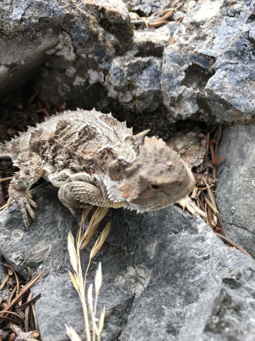
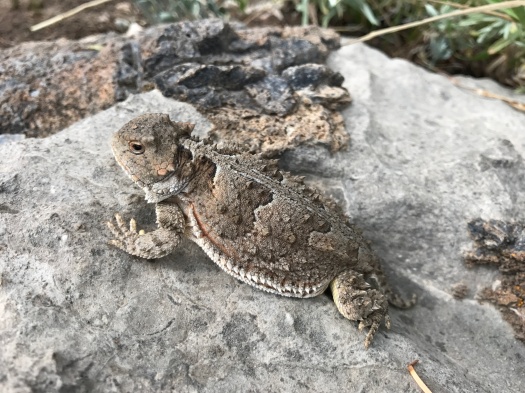
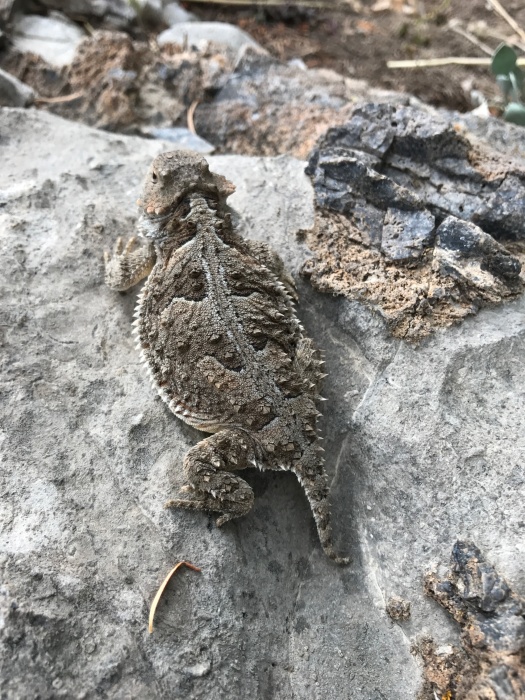
I climbed down to get a better view of the meadow. As I climbed back up, my husband exclaimed, “Hey! I almost stepped on you.”
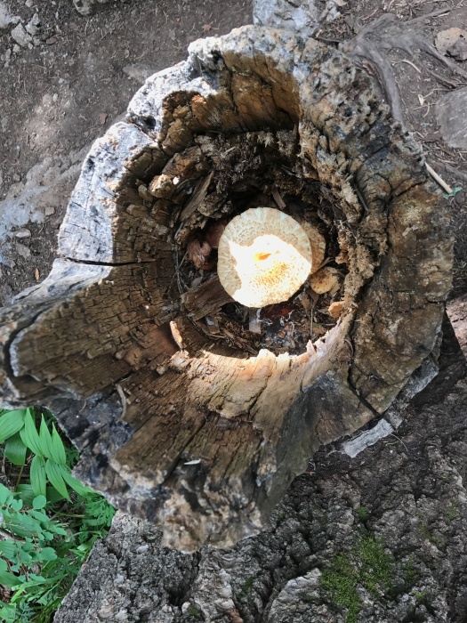
Luckily, he wasn’t talking to me. It was a horny toad, nosing around for a rock crevasse to disappear into.
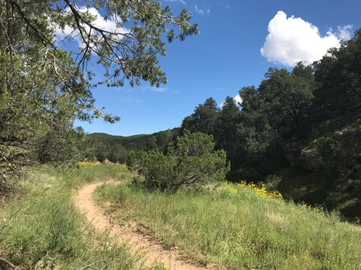
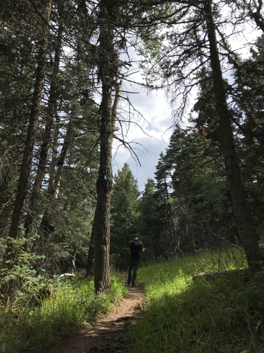
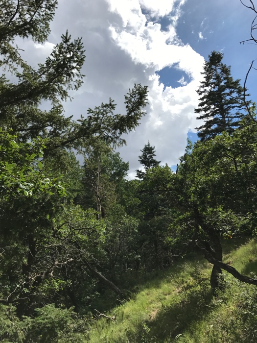
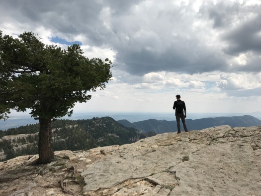
We headed back through the forest and emerged on the edge of the mountain. It started to rain again, or maybe it had been raining up there the whole time. But now that I had my bearings, I carefully explored the detours that ran a little closer to the edge than the main trail.
As I stood by our car stretching, a crow flew into a fir tree above us. It began a low, steady bleat from its spot within the branches.
On our way down the mountain, we saw two deer on the side of the Sandia Crest Highway, and a bluejay flew overhead.
I still don’t know what took me so long, but the view from up there was worth the wait.
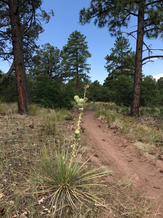
Hike length: 3 miles
Difficulty: easy
Trail traffic: heavy
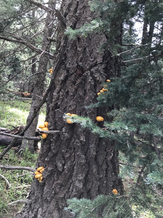
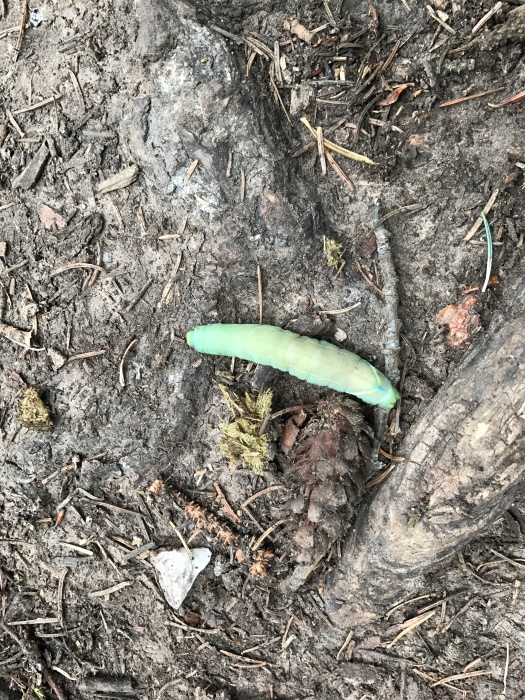
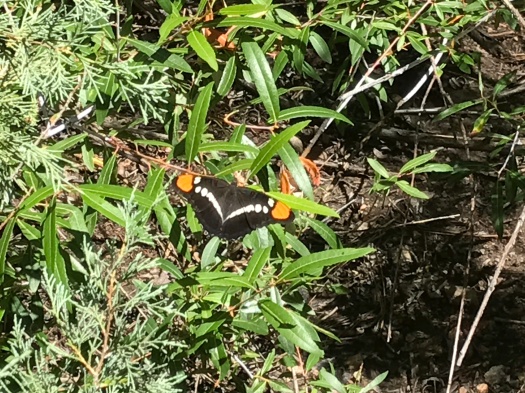
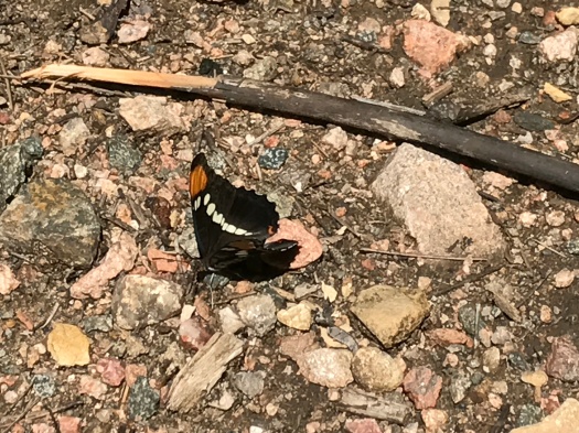
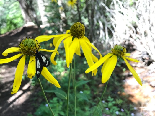
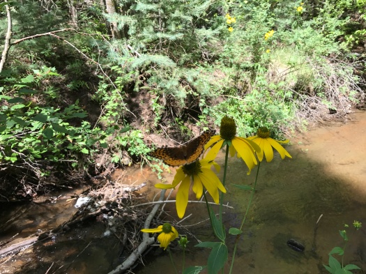
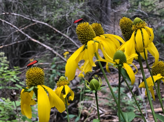
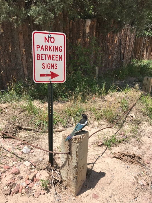
Wildlife spotted: horny toad, crows, ravens, vultures, towhees, chipmunk
TIP! The pit toilets at the Crest are super gross. They just get such heavy use that it’s kind of hopeless. The Tree Springs trailhead at 6 miles up the Crest Highway and the 10K trailhead at 10 miles have perfectly acceptable pit toilets. Go there.