An East Mountain snow day in two acts

I.

Snow is glistening.

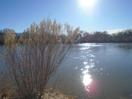
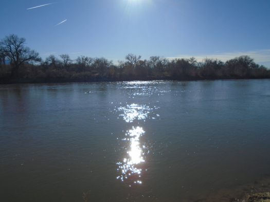
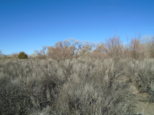
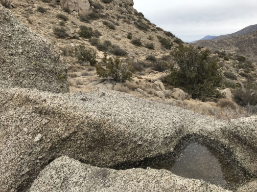
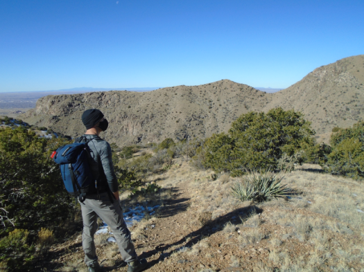
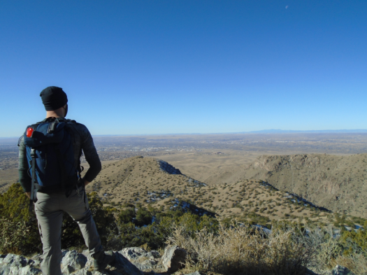
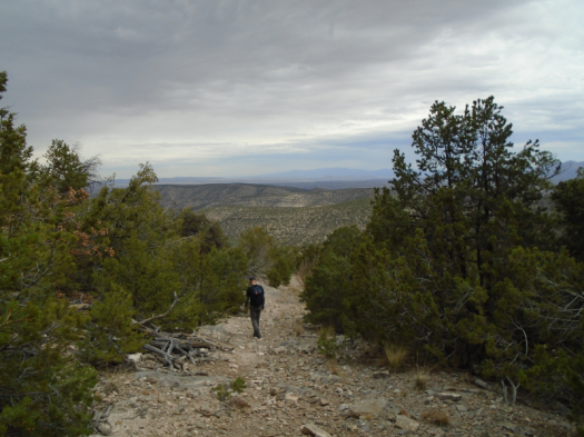
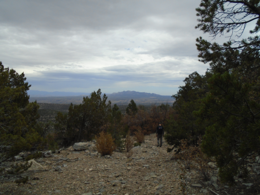
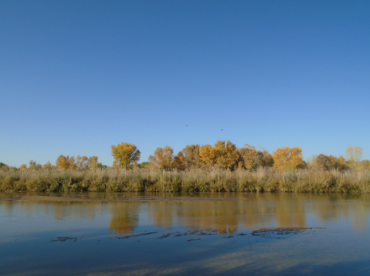
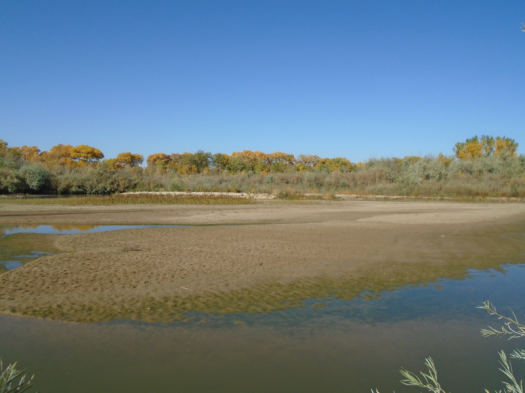
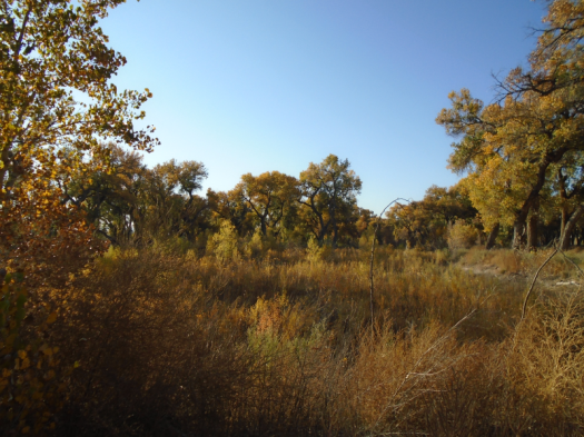
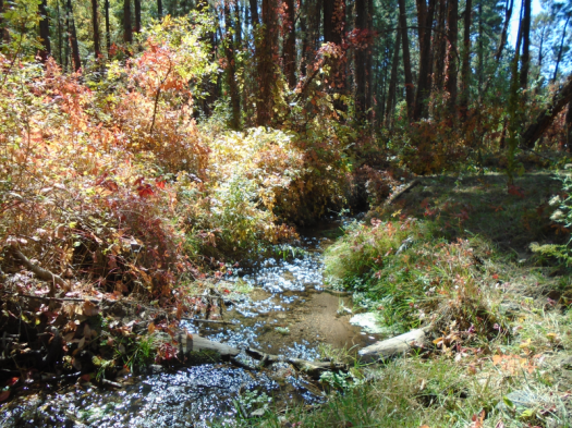
For the first time, on a quiet morning at Sabino Canyon, I can see it. Maybe it’s the sun’s angle, the snow’s consistency. Several inches blanket the ground.

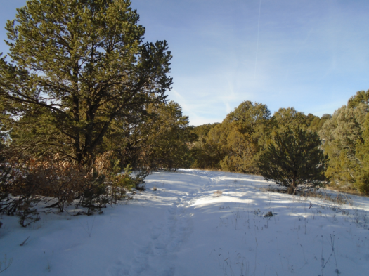
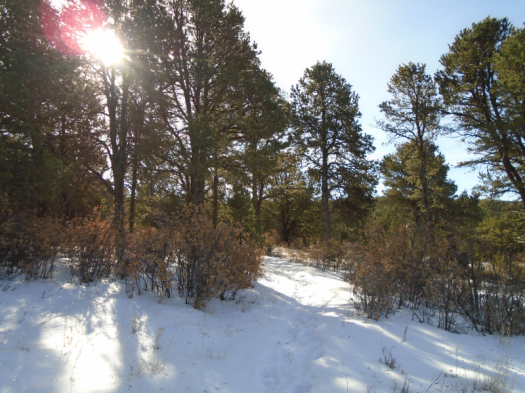
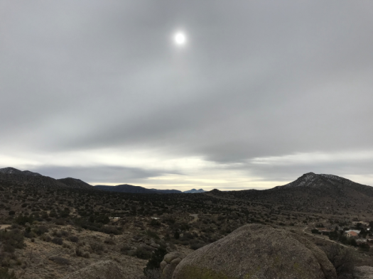
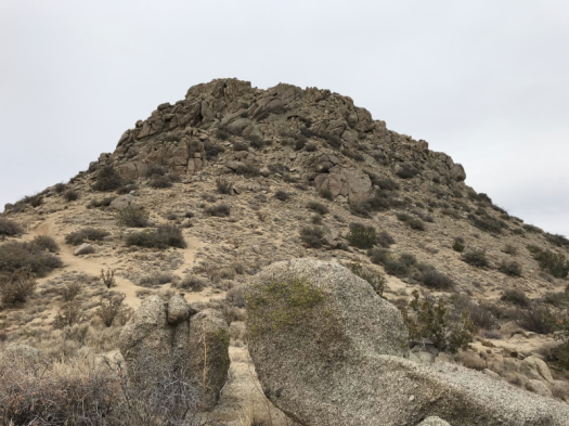
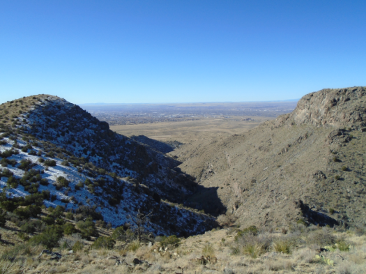
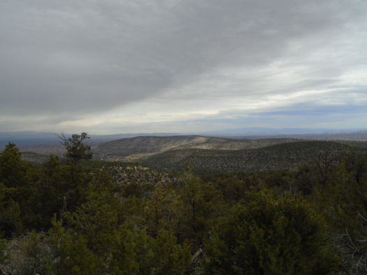
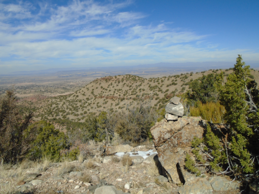
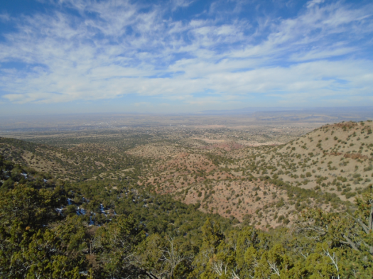
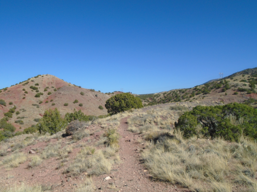
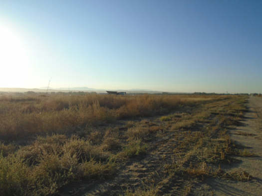
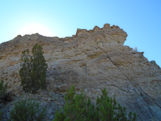
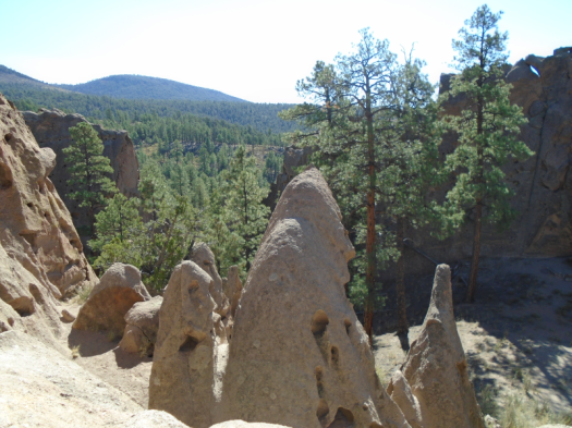
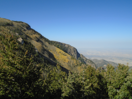
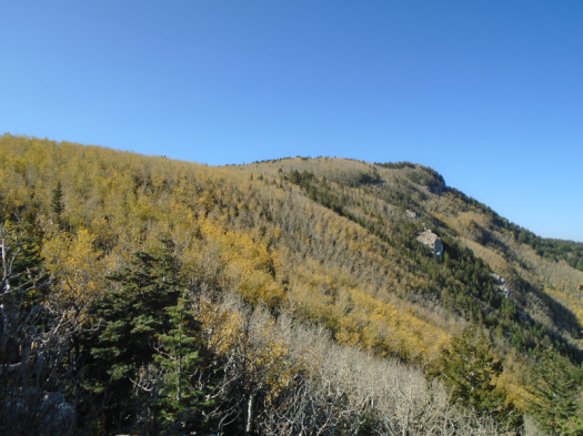
An interpretive sign informs me that I stand on the Manzano Mountains’ northern plateau. I would have told you I was in the Manzanita Mountains, but I accept the serendipity of my first winter visit to my favorite mountain range.

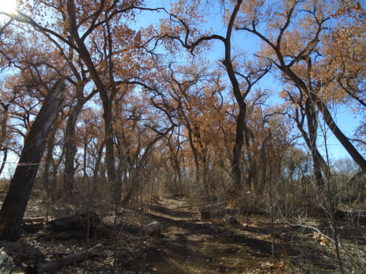
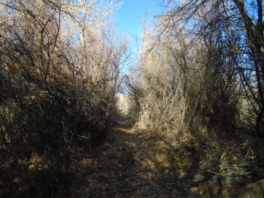
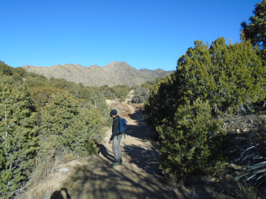
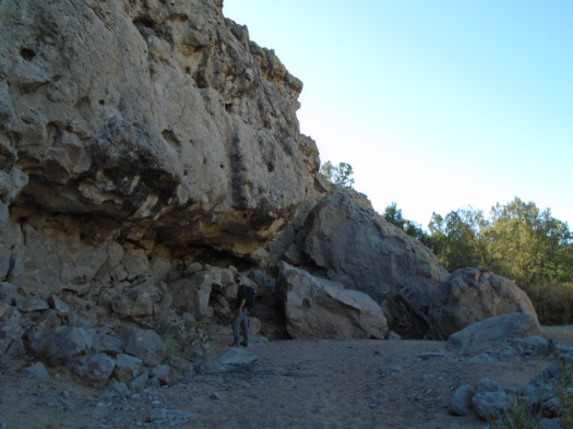
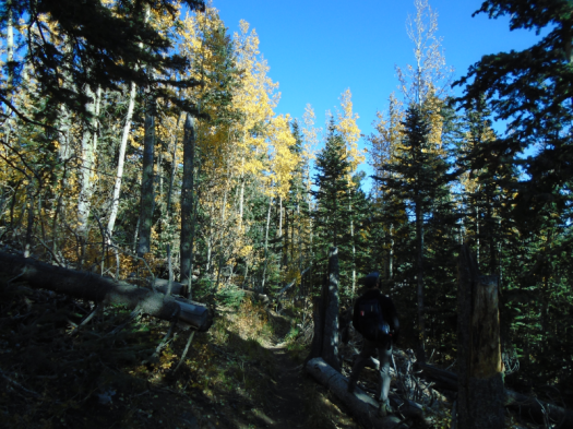
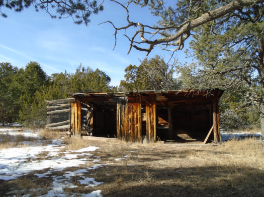
The trail passes the ruins of an old fur farm. Spotted towhees flit where foxes and minks once were caged.

The old fur farm’s water tower

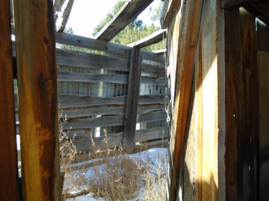
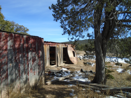
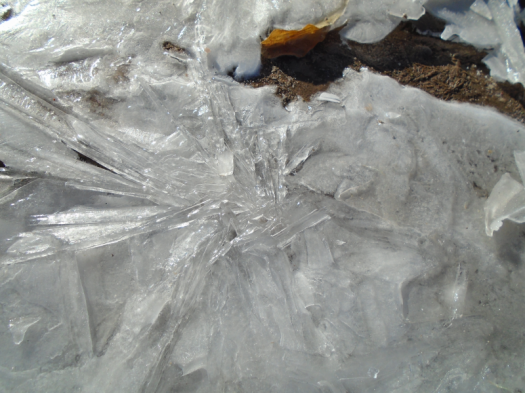
An icicle in a corner of a farm building makes me shiver. Something about the corner’s green patina from age and lack of use.

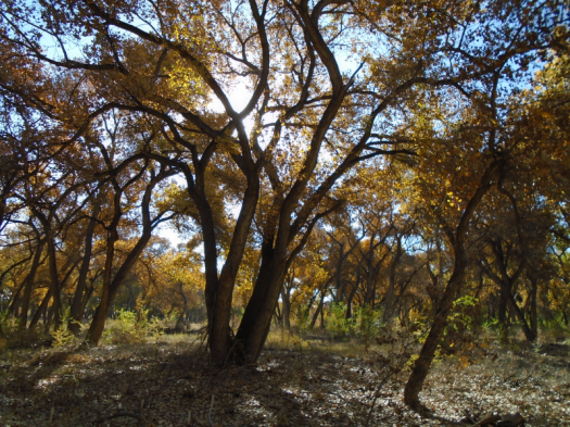
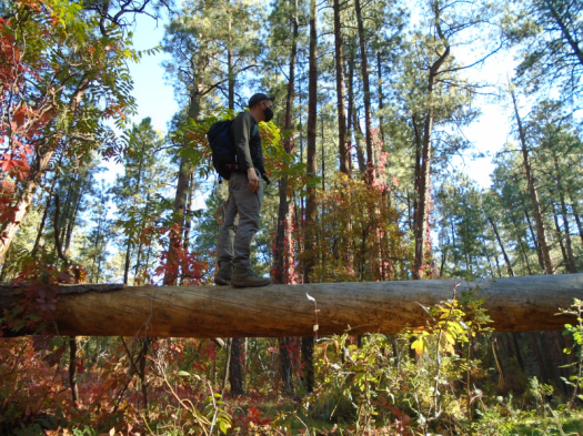
Still, I feel safe alone out here.

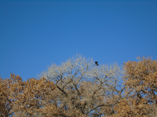
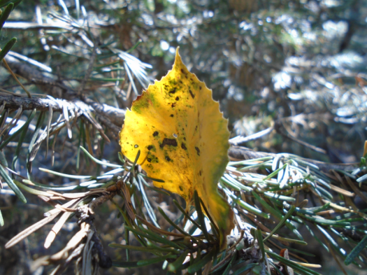
An enormous hawk swoops toward me. I think it’s an owl before I register its raptor-face staring into mine. It banks twice. Striped wings glow in sun.

I consider hiking the whole loop again, but I couldn’t improve on it.

Hike length: 2 miles

Difficulty: easy

Trail traffic: none

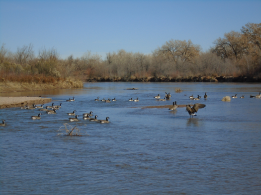
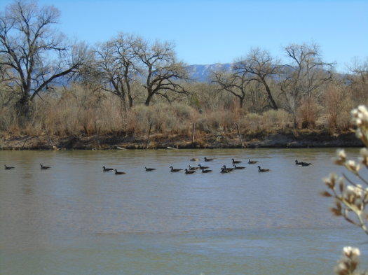
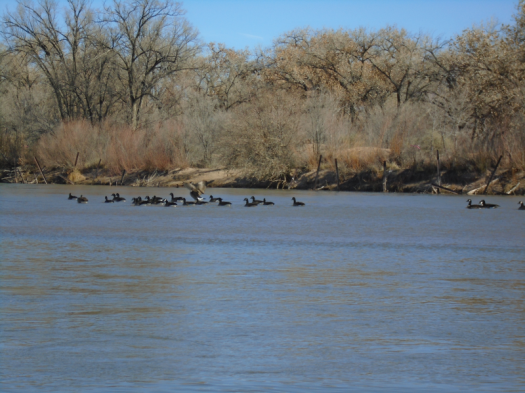
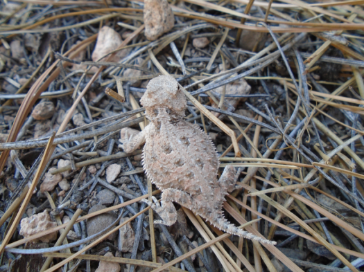
Creatures seen/heard: dark-eyed juncos, spotted towhees, crows, hawk, woodpecker

II.

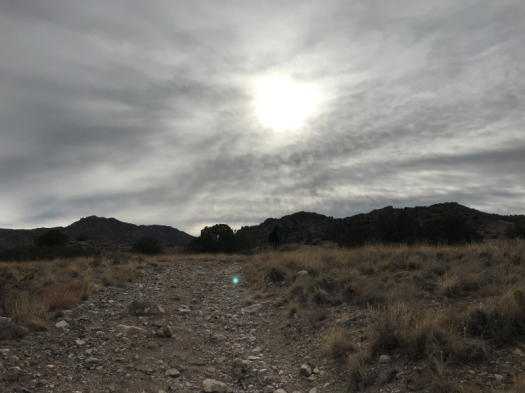
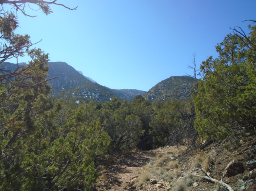
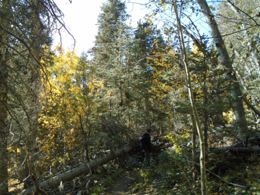
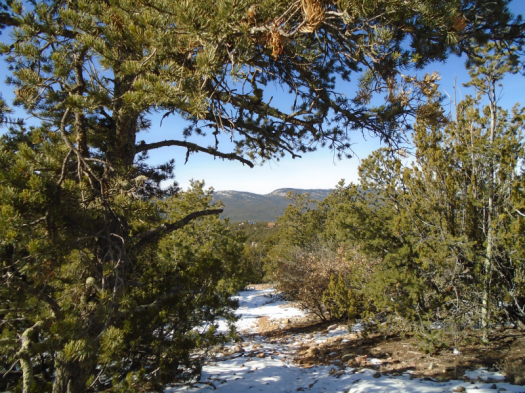
I can no longer deny that I’m not on a trail.

I’ve denied it for a very long, cold half-mile since the last junction. Followed footprints into deeper snow, steeper terrain. Postholed. Slid on the occasional sunny slope of pure mud.

But the footsteps I followed have ended.

I retrace the steps, this time uphill, sweat through my fleece.

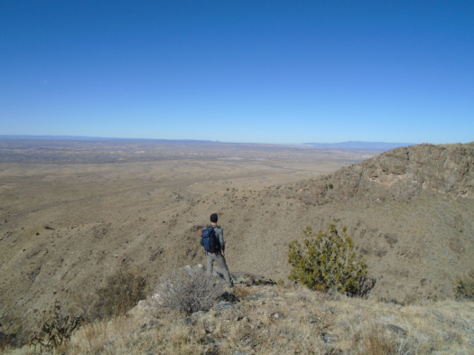
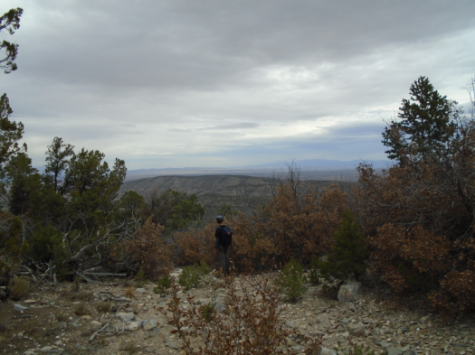
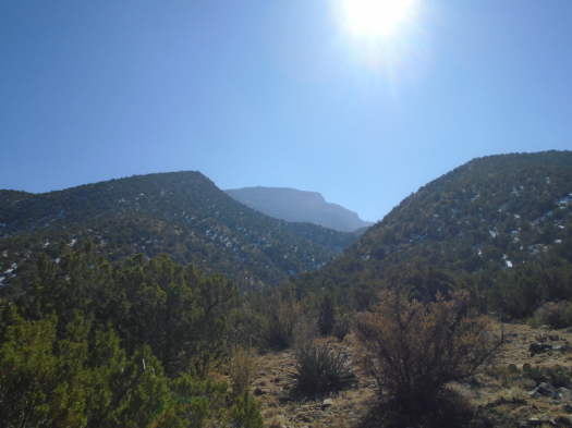
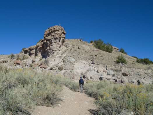
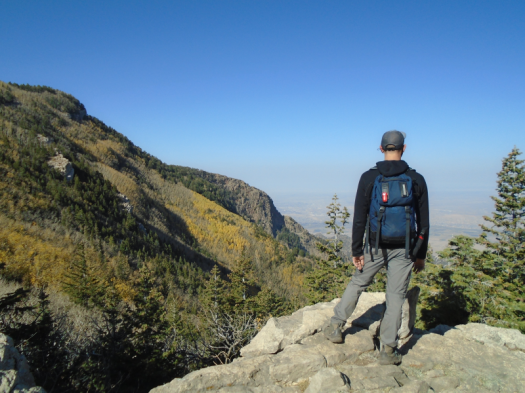
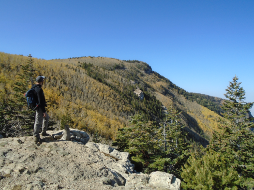
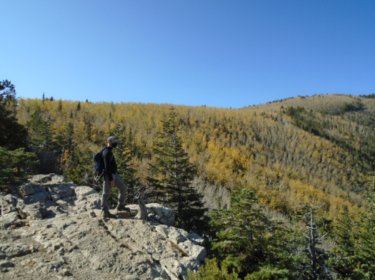
I knew the score as soon as I looked at the map of San Antonito Open Space.

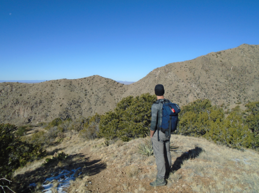
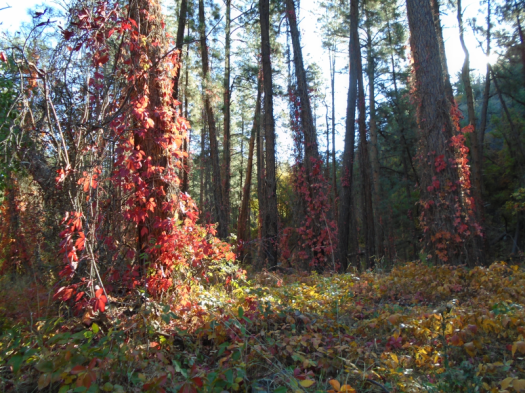
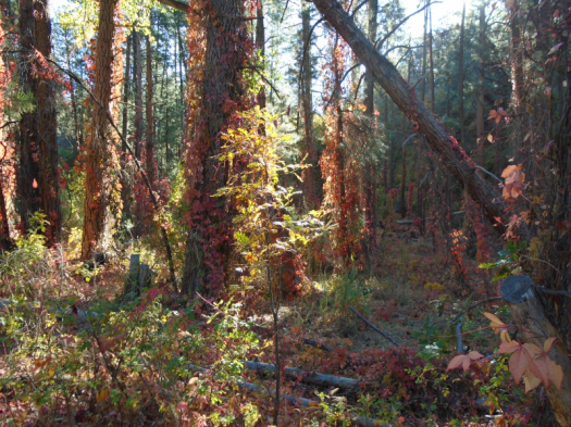
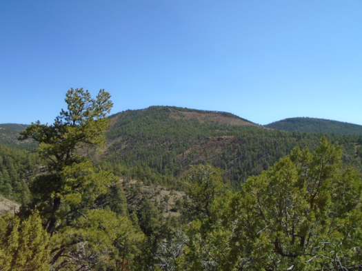
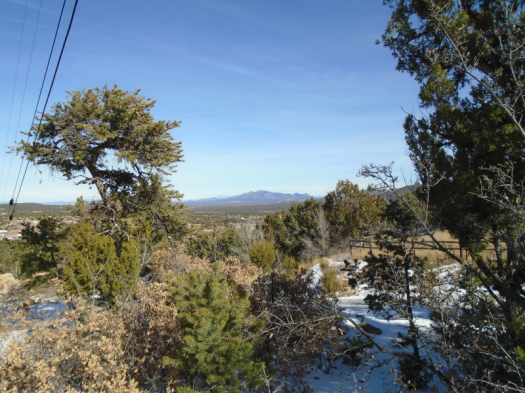
The city owns several more open spaces like it in the East Mountains. Places where mountain vistas and overlooks of the plains butt up against big houses and bigger yards. Places with many ways in and out. With unsigned trails, and a lot of them.

These open spaces are compact enough that I’ve never been close to getting truly lost, but my reality often has not matched the maps.

That’s why I’d passed up a perfectly good trail that would take me back south, the general direction of my car. I sought a different trail on the map that would take me directly back to my car.

But that trail was somewhere under snow on a north-facing slope. And I’d left my poles in the trunk because this would just be a short outing.

I reach the perfectly good trail again and take it. At the bottom, little trails cherry-stem out to the road.

None of the first little trails I try are the right one. But I’m close. I hear the dog that barked its head off when I got out of the car.

After at least six wrong turns, I reach my vehicle.

I drive away, and a worry that’s chewed at me for a week pokes its head up. Then I realize: this worry surfaced earlier, during Sabino Canyon bliss.

But I didn’t spare it a single thought as I slipped, slid, postholed and backtracked across one of those confounding East Mountain open spaces.

Hike length: 2.5 miles

Difficulty: moderate, without the detour

Trail traffic: almost none

Creatures spotted/heard: crows, Northern flickers, woodpeckers, dark-eyed juncos

A river can

A river can shine

in winter sun

reflect it

to warm you

A river can shiver

in winter wind

A river can sustain

multitudes

with a trickle

A river can comfort

even

as it suffers

A river can spin

a tornado

of ring-billed gulls

glide them

back to splashdown

A river can defy

all known color palettes

charcoal?

in the desert?

A river can teach you

one squawking, flapping species

from another

Canada goose

from wood duck

from great blue heron

A river can do all this

in sight of

in spite of

heavy machinery

an inflatable car wash dinosaur

three-car pileups

belching fumes

record heat that breaks

record heat

A river can show you

how cheap

you’ve made the word resilience

A river can show you

how deep

you’d have to go

to begin to begin

in mere inches of water

a river can

The hike: The Rio Grande from Calabacillas Arroyo to the Alameda Bridge

Trail traffic: none

Difficulty: easy

Length: 4 miles

Creatures seen/heard: sandhill cranes, ducks, geese, doves, finches, starlings, crows, great blue heron, ring-billed gulls

Go play in traffic (and broken glass, and rocky cliffs, and a riparian ecosystem): Route 66 Open Space

Semi truck rattle. Airplane roar.

Beer bottle shards. Discarded masks. Spent shell casings.

Cottonwood. Tamarisk. Smell of water.

Juniper. Jay squawk. Bluebird swoosh.

Manzano diamonds frosted with snow.

Boulder field, cactus forest.

Gray sun ball.

Trucks and logs.

Acorn innards bleached by sun.

Icy rock pools.

There is nothing quite like a City of Albuquerque open space.

Hike length: 5 miles

Difficulty: moderate

Trail traffic: light

Creatures seen/heard: crows, blue jays, bluebirds, northern flickers

If this sounds like fun, here are the only directions I know of to this place.

The other Jaral Canyon (the one without people)

Looks like forever’s rolling away from us.

Long exposure of beige hills, crest to mountains, frame. Look right, deep into Juan Tabo Canyon’s gullet, frame.

Cabezon Peak is framed by the notch in Juan Tabo Canyon’s wall.

One human, a trail runner cresting a saddle below.

We can’t see them from the southwest corner of Jaral Canyon, but humans and their structures surround us. Sandia Casino. Subdivisions. The crowded trailhead for this hike, where Tramway meets the forest road.

We bypassed that busy spot. Drove north on the forest road to the quiet Juan Tabo trailhead. Hiked into Jaral Canyon from there. Met only one other person, the trail runner.

The route: doable, but steep and rugged up-and-down, starting with a 45-degree leg-burner.

We did not want to hike down that. And with all the trails that crisscross these canyons, some not on any map, there had to be an easier way back.

Right?

Riiiiiiiiiiiighht.

False starts. Turnarounds.

We get most of the way back on a rough path, but it dumps us into a brush-choked arroyo.

We backtrack to the forest road. My husband huffs up the road half a mile to the car.

I look up at the Shield, Prow and Needle rock formations. Snow clutches north-facing slopes. Jays rustle in the pinons.

We reached our goal: finding a socially distanced route into Jaral Canyon.

And after all the detours, I think I’ve actually satiated my appetite for this canyon for a while.

Hike length: 5 miles

Difficulty: moderate

Trail traffic: light

Wildlife spotted/heard: blue jays, doves, crows, spotted towhees, nuthatch

Weathermaker, Osha Spring Trail

11-7-2020

Look out over the valley, the seasons, the centuries.

Cloud blanket, gray light, stillness. Dark slips down into day.

The special weather statement said an unsettled pattern comes.

In my next life, I want to be a special weather statement.

Oak leaves flame out, crisp and ready, like toast.

The valley, the world, you and I must change.

What will we take with us? What will we cast off?

Rocks shift under my boots. My feet scramble for new angles.

I want safe footing.

But there is only footing.

Hike length: 5 miles

Difficulty: difficult

Creatures spotted/heard: ravens, crows, nuthatch, flickers, robins, pinyon jays

Trail traffic: none

The crow reveals the sky on Strip Mine Trail

10-30-2020

A soaring crow taps the brakes, plummets, like a plane losing altitude. I’ve never seen that before.

The sky behind the crow comes into new focus, and I see what separates me from the horizon’s familiar landmarks.

A light brown blanket covers Albuquerque, blurs Mount Taylor, White Mesa, Cabezon Peak.

I noticed earlier that something hovered between me and the mountains. But I couldn’t quite make it out. It popped out as I stared at the crow.

Chimney smoke’s likely coating the valley after four cold days.

The air is clear and the sky blue here at 6,500 feet, near the Strip Mine Trail in Placitas.

The peaks above me look misty, too. That’s probably water vapor; I can almost hear the snow melt.

All that I see is real.

I couldn’t accept that a month ago. Hiking in Juan Tabo Canyon, wildfire smoke from the West Coast hung above us. I spent four hours convincing myself that couldn’t be smoke, the day was too bright, the air smelled clean.

But at home, when I downloaded my photos, I could not deny the visible layer of smoke in almost every image.

A layer of smoke or dust has been visible in nearly every photo I’ve taken on a hike since.

Smoke and dust don’t discriminate. But we do, in where we welcome and shut out people or industry. I don’t risk my health when I walk in my neighborhood or hike in Placitas. But in Albuquerque’s South Valley, where the population is mostly Hispanic or Latino, a walk might trigger an asthma attack or worse. In recent months, the South Valley’s air pollution levels have frequently been at least twice as high as those further north in the Albuquerque metro.

Once I might have thought of hiking as an escape from things like that.

But no place, no matter how lovely, exists separate from climate change and environmental racism.

The author Pam Houston walks at least five miles a day, wherever in the world she is, seeing all that persists.

By the end of this century, journalist Laura Paskus writes, Albuquerque’s climate will look more like that of El Paso. The pinon-juniper forest where I sit, inhaling the scents released by snow, will likely be a distant memory.

I leave the overlook after 50 minutes, grateful for its sun and snow.

This place is a blessing, but it’s not an escape – and even if it was, I’d be wrong to take it.

I have ground to cover, and work to do.

Hike length: 5.8 miles

Difficulty: moderate

Trail traffic: very light

Creatures spotted/heard: pinyon jays, lizard, crows, ravens, hawks, flycatchers, velvet ant, Northern flickers, Townsend’s solitaire

This route – Strip Mine Trail to the prosaically named and unsigned Trail 246 – is from Mike Coltrin’s Sandia Mountain Hiking Guide.

Haunting a river’s ghost at Valle de Oro

I could cross the Rio Grande here and not get wet.

I stand on the riverbank at Valle de Oro National Wildlife Refuge. The river’s all but dry in this spot. One small channel of water courses through it.

Water flows further south, but in places it’s only an inch deep.

And still, constant bird music.

A great blue heron stands on a sandbar, then lifts off.

Ducks spring from the bank, honking.

Sandhill cranes coast above, creaking like a rusty hinge in the wind.

Creatures upon creatures trace the river’s drying veins, find nourishment.

We have made this hot, dry world with our thirsty vehicles, our plastic packaging.

Yet we can make space for these creatures, too.

The refuge, carved out of an industrial area, ever changing. This summer they closed the refuge’s dirt roads to vehicles so the old pastures can revert to wetlands. To reach the bosque now requires a shadeless 2-mile walk from the refuge’s entrance.

The refuge’s visitor center, under construction.

Here in Albuquerque’s South Valley, air quality can reach unhealthy levels. Dust and dirt from the area’s industrial operations often hang in the air, while my neighbors and I breathe freely further north.

But a river refuge, even a drying one, gives all of us creatures a space to breathe.

Hike length: 5.6 miles

Difficulty: easy

Trail traffic: very light

Wildlife spotted/heard: great blue herons, sandhill cranes, geese, ducks, butterflies, grasshoppers, coyote, American dipper, swallows

Cañada de la Cueva: Sand, stone and sun

It’s too hot for this.

Well, it will be. Now, cool east wind brushes canyon walls’ shadow.

The predator sun lurks like the hawks above, the bobcats whose scat dots this arroyo.

The temperature will climb above 80 here, in the hills at 6,000 feet elevation, on October 17.

The wind will shift to the west, whip into a gale. Red flag warning. So dry any spark would kindle and spread instantly.

But we have a few hours before all of that. And we’ll see very few humans here at Cañada de la Cueva. That was the deciding factor, with 812 new cases of the virus in the state yesterday. A record that broke a record that broke a record.

The canyon squeezes and opens. Rock walls emerge: lichen-stitched basalt blocks, pebbles embedded in stone. The Ortiz Mountains prairie-dog above the canyon.

Miles downstream, we see one, then another and another horseback rider descend from the hills to the canyon.

Even this far in, all are masked, as we are. I silently thank them.

“Did you come from the dump?” one rider asks. (Yes, this trailhead is at a dump.)*

We tell him we did.

“That’s a long walk!” he says.

“Yes, and it’ll feel longer going uphill on the way back,” I laugh.

Uphill. In sand. And heat.

The return a two-hour trudge. I knew it would be.

But the big, dark rock walls cover us with coolness as we pass.

The sky glows incandescent blue, a shade that appears only in fall here, that appears even when it feels like summer.

The sky still knows what to do.

Hike length: 7.4 miles

Difficulty: moderate

Trail traffic: very light

Creatures spotted/heard: ravens, hawk, flycatchers, tarantula hawk, butterfly, dragonflies, dark-eyed juncos, flicker

*Where did you hear of a hike that starts at a dump? In “60 Hikes Within 60 Miles of Albuquerque,” of course!

Paliza Canyon: Dusty goblins and a mighty little creek

Deep in the ponderosa dark, color blazes.

Morning sun crawls over the canyon wall, lights a creekside tangle of leaves red and yellow.

A child could step across Vallecito Creek, the trickle of water that powers this ecosystem.

Fall falls right in front of us, breeze gliding red Virginia creeper leaves to the ground.

The creek bed runs dry before we reach our destination: Paliza Canyon Goblin Colony, a canyon wall’s worth of hoodoos and tent rocks, thumbs and OK signs and bawdier shapes.

The goblins bake. Do they remember water? Two inches of dust and sand coat our boots.

My husband climbs steep ridges while I peer over hills and mesas through towers of tuff. A thumb-sized horned lizard enjoys shadow.

We walk a steep mesa road. The burn scar we found two years ago is mostly healed. But bark peels brittle from the trees, their sap crusty and dry. And the dust – every step stirs it.

The creekside forest, brighter now, cools us as we descend.

On our drive out of the canyon, a red-tailed hawk swoops over the road, a small snake in her mouth.

A braid of golden cottonwoods winds through the valley. At the place where the braid crosses the road, a dry wash, and a sign: Vallecito Creek.

This hardworking little stream, stretched thin as it is, nourishes the whole valley.

Hike length: 5.5+ miles

Difficulty: moderate

Trail traffic: light

Wildlife spotted/heard: Stellar’s jays, ravens, chipmunk, horned lizard, butterflies, flickers, flycatchers, red-tailed hawk, snake, Abert’s squirrel, mockingbirds, canyon towhees

This wonderful hike is from David Ausherman and Stephen Ryan’s “60 Hikes Within 60 Miles of Albuquerque.”

Nothing gold can stay: Post-peak aspens, Sandia fall

Gold coins shiver in the wind.

So do I.

The aspens on the Sandia Crest slopes usually glow yellow the first Saturday in October.

Today one yellow patch blankets the mountain. Around it, leaves have tipped past yellow to gold, or fallen, leaving trunks naked.

Who knows why? Maybe that bizarre freeze just after Labor Day hastened the leaves’ change. Or maybe the lack of anything else resembling seasonal temperatures, or precipitation, left the aspens confused about when to do their thing.

It still looks the way fall looks up here: blue, green and gold.

Clear above and below. Beyond that, haze from fires a thousand miles away. It’s begun to feel like a permanent condition.

Most days, the fire hydrant of Cabezon Peak would loom large from here. Today it’s a shadow of a thumb.

It still feels the way fall feels up here: warm and cold, light and shadow.

But no year, no month, no day is just an anomaly anymore.

The changes in our climate reshape even a world of sun and stone.

Hike length: 6 miles

Route: Survey Trail to 10K Trail overlook

Difficulty: moderate

Trail traffic: light-moderate

Wildlife spotted/heard: deer and chipmunk on Crest Highway; squirrels, dove, jays, crow, hawk, dark-eyed junco, dusky flycatchers, flickers