From atop Holiday Mesa, a changing Jemez

Icy water shocks my toes.

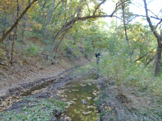
I scramble up the bank of the Rio Guadalupe to a boulder. The morning sun dries my still-tingling feet in minutes.

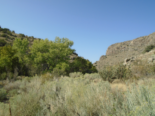
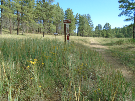
We weren’t sure we’d see a river at all in this dry year. The Rio Guadalupe doesn’t reach mid-calf today, but you have to get wet to cross it.

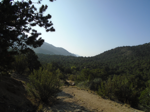
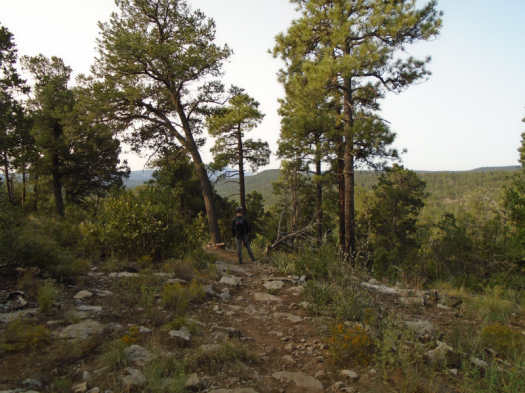
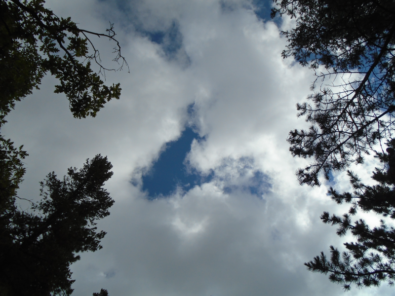
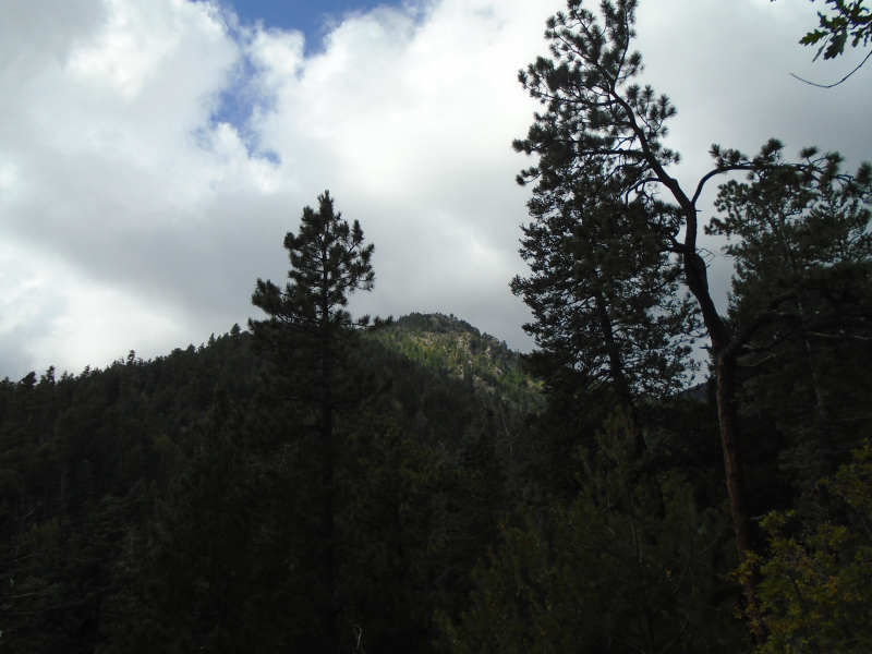
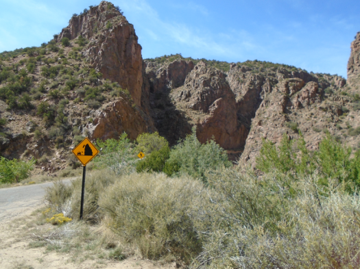
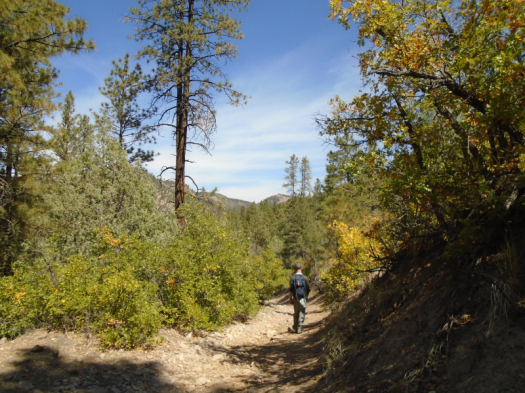
Up Holiday Mesa. Gnarled old forest road, steep and rocky. Hundred-foot ponderosas part for brilliant blue. Yellow and red leaves light the slopes.

Our guidebook promises another little stream if it’s been a good water year. It hasn’t, but still we hear a gurgle, spot a tiny, terraced waterfall notched into a hill.

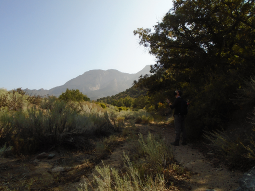
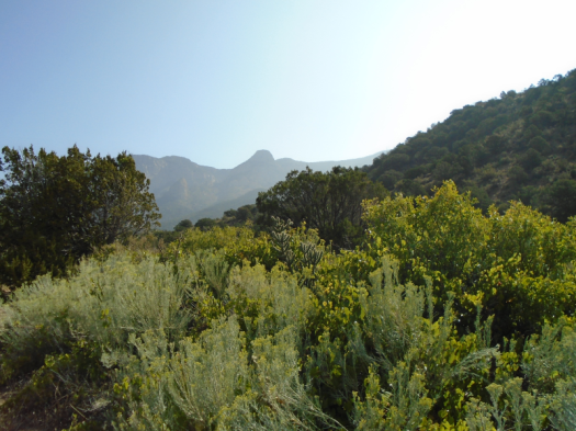
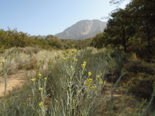
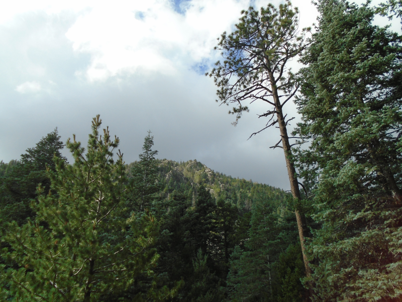
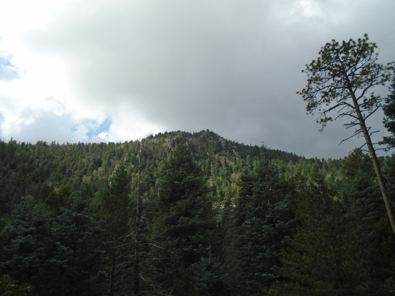
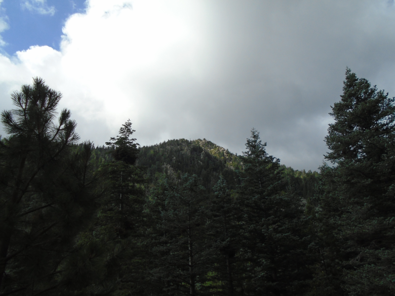
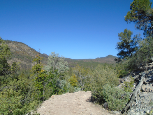
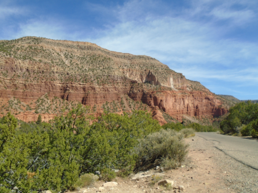
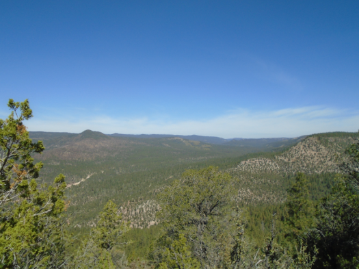
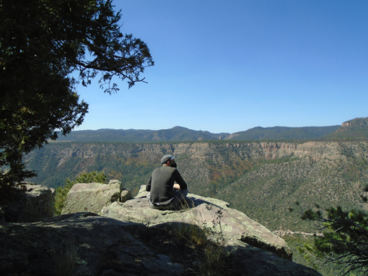
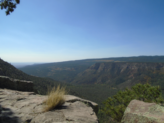
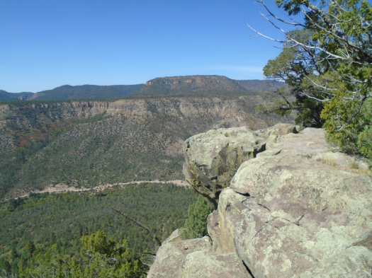
The road twists. The canyon falls away. The layer cakes of Jemez mesas emerge.

The people of Walatowa loved these mesas first, undoubtedly will love them last.

In between, land grants. Tunnels blasted through rock three miles away, to log this land. The Forest Service, claiming roads like the one we walk, Ryan and Ausherman write.

Approaching the Gilman Tunnels, blasted through rock to log the Jemez
Guadalupe Canyon near the Gilman Tunnels

And now, the knowing that what we see will disappear.

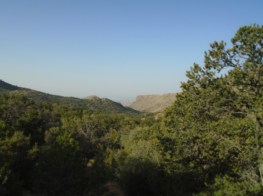
The Jemez as it looks today operates on borrowed time. Its thick blanket of pinon, juniper and ponderosa could cease to exist here, amid the stressors the Jemez faces: warming, drought, catastrophic fire. So journalist Laura Paskus reports in her new book, “At the Precipice: New Mexico’s Changing Climate.”

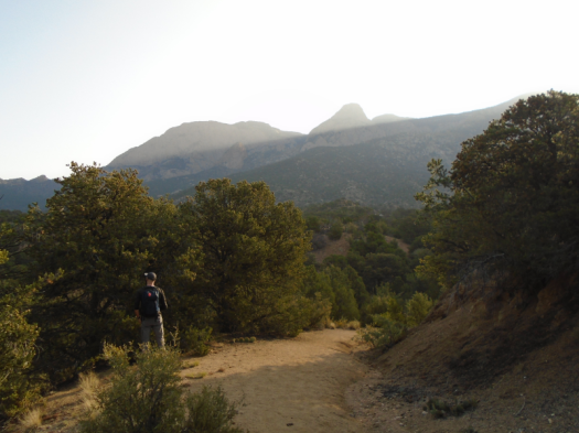
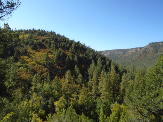
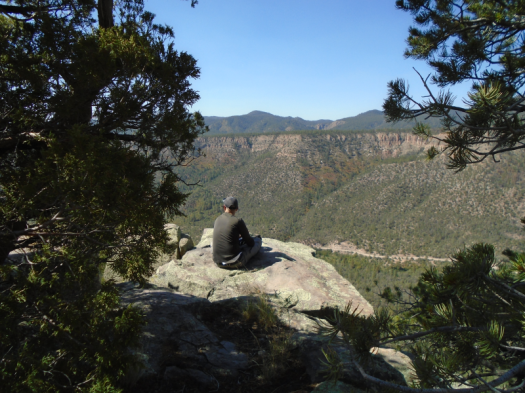
Looking out from the top of Holiday Mesa, I see the marks of a fire I can’t name.

Black sticks dot the slopes, a very familiar sight after more than a decade in New Mexico. Under the sticks, purple-gray watercolor appears to wash the mesa. Maybe the colors left behind when a storm pushed torrents of mud down the naked land.

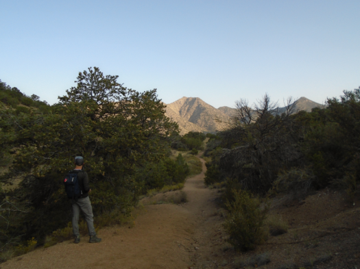
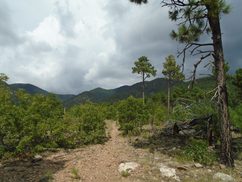
Far below snakes the dirt road that brought us to this forest.

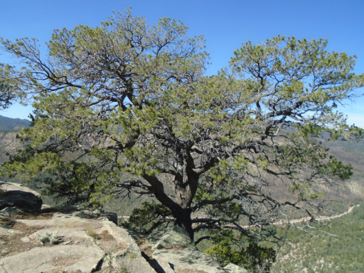
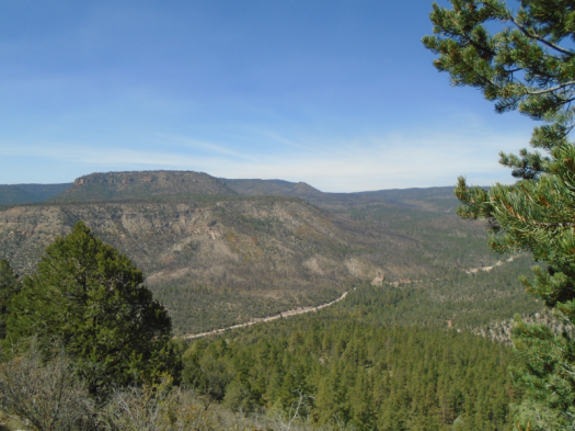
The road becomes volcanic tuff on top of the mesa. It feels and sounds like rubber under my hiking poles. Cows side-eye us, moos like gravel.

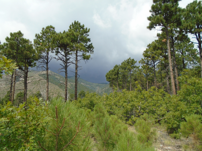
Oak leaves blaze almost-October orange against blue sky.

But the temperature’s above 80, even at 7,000 feet elevation. Northwest wind whips the mesa. In the mountains near Albuquerque, this wind, plus low humidity, has prompted a red flag warning. Nearly anything could spark a fire.

I’m hot and dusty and as thirsty as I’ve been on a hike in a very long time.

When the cold Rio Guadalupe swirls around my feet again, it feels like a blessing.

Hike length: 6 miles

Difficulty: moderate (sections of the climb up the mesa are strenuous)

Trail traffic: one guy and his hunting dogs at the river

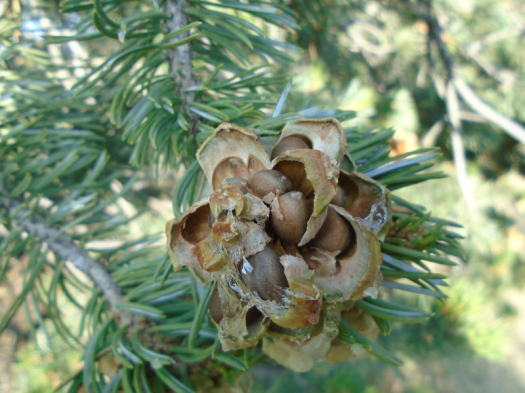
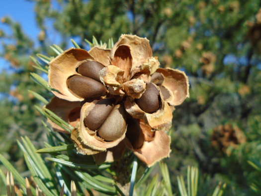
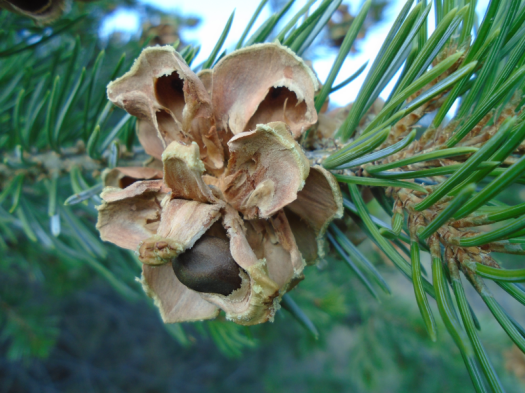
Wildlife spotted/heard: rabbits, chipmunks, bluebirds (on road to trailhead); pigeon, hummingbird, Abert’s squirrel, nuthatches, pinyon jays

Smoke, sun and piñon nuts at Juan Tabo Canyon

Haze shades each ridge of the Sandias blue.

Wildfire smoke all the way from the West Coast shapes our view of Juan Tabo Canyon today.

But air quality readings are acceptable.

And just past the trailhead, a couple shakes piñon nuts from tree into basket.

I’ve never seen anyone do that in person. And in all these years of wandering piñon-juniper hills, inhaling pine sap, I’d never spotted a cone bursting with nuts.

But once I do, they’re everywhere.

High desert and forest formed a truce in this canyon. Sandy arroyos underfoot (literally: we’re on the Sandy Arroyo Trail.) Chamisa, cacti. Oak, juniper and cone-heavy piñon line the arroyo.

Almost no humans. Mostly flying things.

A hawk haunts the notch atop the canyon wall, hundreds of feet above. Pinyon jays crisscross the drainages. A flash of yellow, maybe a warbler, in an oak. Tarantula hawk above.

The canyon bottom has water, sometimes. Not today. But a small cottonwood thicket stands strong. Patches of dark soil remember being mud.

Haze persists over the mountain, but the sky right above us is now blue.

The midday uphill trek in sand reminds us it’s still summer. The last ridge back up to the car, still in cool shadow this morning, punishes in full sun.

Now, several piñon-seekers line the path to the trailhead.

It’s still summer in the canyon, but it’s fall in the trees.

Hike length: 6.4 miles

Difficulty: moderate

Trail traffic: light

Wildlife spotted/heard: pinyon jays, doves, hummingbirds, yellow warbler, crows, hawk, nuthatches, tarantula hawk, brave jumper, flightless wasp, velvet ants, lizard, squirrel

The summer was good to David Canyon

I wondered about David Canyon.

This ponderosa forest southeast of Albuquerque tends to show the effects of drought fast, and the city had a brutal nonsoon summer.

On the other hand, the Manzano Mountains south of David Canyon rolled lush and green 10 days ago. All the fire danger arrows rested comfortably at “low,” and two epic storms pounded the area in the span of 18 hours.

David Canyon’s fortunes fall somewhere between those two spots.

The meadow at the canyon’s heart glowed green today, with sprays of late-summer wildflowers.

The canyon’s east rim, near the trailhead
Deer spine
Alligator juniper

The burn scar just west of the meadow barely resembles a burn scar. Sunflowers and asters peep out of the rocky soil.

The uplands on the canyon’s west rim look parched, but they probably always will.

Some oak leaves drifted brown and orange to the ground on Forest Road 530. I don’t know if that’s normal for mid-September at 7,500 feet, or prompted by drought.

All the more reason for another research trip soon.

Hike length: 6.8 miles

Difficulty: moderate

Trail traffic: light-moderate

Wildlife spotted/heard: hummingbirds, mountain chickadees, brown creepers, woodpeckers, bluebird, blue jay, nuthatches, crows, ravens, butterfly, beetles, lizards

Ox Canyon Trail: The calm and the storm

Weather rakes me like fever.

Cold wind slaps my face, steals my breath. Aren’t west winds supposed to be warm?

Clouds part and sun beats the burn zone around us. Instantly, I sweat.

Ten minutes in, I nearly call it. But the Manzano Mountains loom, every Crayola of green and blue, lush with life. And aren’t the canyon walls and the tall spruce beyond the burn scar a natural windbreak?

We reach them and the wind howls on, but less sound and force reach the forest floor: tree cathedral, bird planet.

The trail transforms again at an old rockslide. Light pierces the canopy. The Manzano Crest ridge peeks into sight above, parts stripped naked by fire, parts layered in green.

DSC03973.JPGDSC03978.JPGDSC03986.JPGDSC03989.JPGDSC04001.JPG

If we keep going, tight switchbacks will lift us high over the plains and the salt lakes of the Estancia Basin, deposit us in a meadow on the crest.

I’ve done that once, five years ago, and I’ve been thinking about it ever since.

But it won’t happen today. A gray curtain descends above. We need to be back at the car by 11 to miss the thunderstorm.

On the way down we spot stands of new-growth aspen we’d missed, preoccupied with the wind. The trees catch the last strands of sun and shimmer.

Raindrops hit half a mile from the trailhead, then thicken. Before us, in front of the storm, thousands of acres of forest slope down to the valley.

I can’t stop turning to gape at the storm. It touches down on the crest, bruises deepest blue.

DSC04013.JPG
This part of the trail was burned in a fire years ago, which is why the pine trees look like palm trees

DSC04015.JPG

The cycle of the Manzanos, the one that will always draw me back here, begins again.


Hike length: 4+ miles

Difficulty: moderate

Trail traffic: none

Wildlife spotted/heard: hawk, yellow warblers, butterflies, nuthatches, bluebirds (on forest road), sparrows, blue jays


The extraordinary ordinary meadow on Survey Trail

The meadow sits just below 10,000 feet elevation on the Survey Trail.

Ordinary, compared to other high mountain meadows. Small. View limited to sturdy firs, spruce, and a speck of the San Pedro Mountains.

Still, you might rest here, if you’ve been walking since the Ellis trailhead.

If you rest here, you might not want to leave.

Wrens flit tree to tree, branch to branch. Two skirmish midair, spinning around each other, a whir of wings.

Hummingbirds hum.

Hawk glides low among trees, seeking the chipmunks and squirrels that have squawked at you all morning.

Smudge in the grass resolves itself: blue-gray horned lizard, dotted black.

DSC03933.JPGDSC03934.JPGDSC03935.JPGDSC03939.JPGDSC03942.JPG

Eventually you pull yourself away, up a steep slope, emerge into light.

A brief wrong turn brought you to this overlook. Limestone Sandia Mountain cake frosted green with aspen. Mount Taylor, 80 miles away, smudges the horizon. The city emerges from a week of wildfire smoke. Fossils whorl the stone you sit on.

DSC03948.JPGDSC03953.JPGDSC03956.JPGDSC03957.JPGDSC03959.JPGDSC03961.JPG

A fellow hiker walks up. Chicago transplant. Blessed, she says, hustling on her mask.

You’ve lingered. You have to hurry uphill to reach the trailhead by 12:45, the appointed “if you don’t hear from me call search and rescue” time you gave your husband.

DSC03929.JPGDSC03930.JPG

DSC03963.JPG

Still, you stop for a drink of water in the meadow.

The spot has no name, at least none you know.

But you won’t forget it.

Writing this, you smell fir still.


Hike length: 6 miles

Difficulty: moderate

Wildlife spotted/heard: many deer on Sandia Crest Highway, squirrels, Abert’s squirrel, chipmunks, hawk, hummingbird, horned lizard, rock wrens, mountain chickadees, grasshoppers, golden-crowned kinglets

Trail traffic: light-moderate

DSC03967.JPG

Sunday service on South 10K Trail

Sunday morning forest church on the mountain.

Firs, aspen, spruce reach for heaven.

DSC03911.JPG

Bird choir trills, hums, whoops.

Hush falls on tree islands between bright open slopes.

DSC03913.JPG

Harrier glides, watching over all.

Fossils keep those who have gone before with us.

DSC03918.JPG


Gnarled oaks push in, embrace.

DSC03921.JPG

Mushrooms sprout from their hosts, reminding us that all things are connected.

DSC03914.JPG

DSC03919.JPG

Squirrels perch on logs, listen to the reading.

Spruce drips sap, evergreen, tangerine.

A group on horseback makes a joyful noise.

DSC03925.JPG

All live, all give, all praise.


Hike length: 5 miles

Difficulty: moderate

Trail traffic: very light early, moderate in late morning

Wildlife spotted/heard: squirrels, Abert’s squirrel, harrier, nuthatches, downy woodpecker, mountain chickadee, brown creeper, grasshoppers, dragonflies, hummingbirds

All eyes on us on Challenge Trail

Eight pairs of eyes study us.

Two pairs of eyes scan the ground, lock on green things to munch.

Ten deer stand in a meadow near Nine Mile Picnic Ground.

DSC03866.JPGDSC03875.JPGDSC03880.JPGDSC03886.JPG

They feed. They walk a slow circle around an island of trees. They watch two upright masked creatures watch them.

Ten minutes pass.

The deer walk away, into the spruce and locust and aster.

The humans walk away, thinking of the deer.


Hike length: 5.8 miles

Difficulty: moderate

Trail traffic: light

Wildlife spotted/heard: deer, flycatchers, grasshoppers, butterflies, mouse, chipmunks, Abert’s squirrel, crows, raven, brown creeper, mountain chickadees

DSC03898.JPG
Has any trailhead ever looked more inviting?

DSC03900.JPGDSC03903.JPGDSC03904.JPGDSC03907.JPG


Molt – Tecolote Trail, 7-31-20

DSC03841.JPG

all your armor

flaps in the breeze

and you’re still here


DSC03831.JPGDSC03830.JPGDSC03834.JPGDSC03836.JPGDSC03843.JPGDSC03845.JPG

Hike length: 5.5 miles (we hiked this trail out and back twice)

Difficulty: moderate

Trail traffic: light-moderate

Wildlife spotted/heard: at least a dozen horned lizards, chickadee, vultures, butterflies, grasshoppers, Abert’s squirrels, deer (on Sandia Crest Highway)

A new mystery every time on North Mystery Trail

Leaves, wildflowers, grasses wrap around me.

Evergreens rise to a peak of punch-me blue.

I sit at the bottom of Madera Canyon on North Mystery Trail.

DSC03802.JPGDSC03796.JPG

We chose this path for its deep canyons, cool breezes and few visitors.

DSC03786.JPG

DSC03805.JPG

The tradeoff: we must hike nearly 1,000 feet back uphill to the trailhead on a rare 100% humidity day.

I set the pace – slow, after two long breaks from the trail during Covid-19.

An hour later, I shuffle my jelly legs into the most beautiful meadow in the Sandias, flop under the first flopping tree I see.

DSC03788.JPGDSC03790.JPG

DSC03816.JPG

Sky-sized cloud pillows glide over Palomas Peak, spread light and shadow.

A vulture wings. One jay bleats in the evergreen ridge below the peak. Cool air shakes loose.

It’s nearly monsoon o’clock in mountain time. We should get back to the car.

I stand, and my jaw drops (as much as a masked jaw can drop.)

We’d been sitting under a medallion tree. A mystery person took core samples from trees along this trail, then put up medallions naming events from the tree’s date of germination.

What are the odds that one of the few native Mississippians in New Mexico would happen to flop under the “Mississippi, the 20th State Tree?”

IMG_4110.JPG

I consider that on the last half mile of the trail. Wild grasses press in close. Trees tangle above. The undergrowth, the humidity and the mask fog my glasses so much the world around me blurs.

It looks like a mountain swamp, with peaks and steep canyons – a Mississippi fever dream that could only be found in New Mexico.

DSC03825.JPG

Hike length: 5+ miles

Difficulty: moderate

Trail traffic: very light

Wildlife spotted/heard: hummingbirds, butterflies, beetles, blue jays, harrier, downy woodpeckers, sparrow, chipmunk, cottontail, crow, vultures, doves

Sulphur Canyon + Faulty Trail

It’s 102 degrees at 1:30 p.m. This hike, 15 days ago, was the last time I felt cool.

DSC03764.JPGDSC03767.JPGDSC03769.JPGDSC03772.JPGDSC03774.JPGDSC03776.JPGDSC03778.JPGDSC03781.JPGDSC03783.JPG

Hike length: 5.5 miles

Difficulty: moderate

Wildlife spotted/heard: butterflies, including swallowtails; hummingbirds; canyon towhees; flycatchers; downy woodpecker; lizards; caterpillar; blue jays

Trail traffic: moderate